42 min
Overview
From the parking area, go through the gate and down the hill. A short causeway connects you to the island. The main loop is well-established and easy to follow. The entire trail is mostly flat and either sandy bed or mowed path through the grass. <br><br>Along the way, there are several opportunities to take a brief side trip to a clear edge of the island with views up and downriver along the Columbia River. We started to the left, following the western edge of the island. Before reaching the northwest point, there is a large open exposure to observe the river and some birds. <br><br>Continuing ahead to the point of the island, the confluence of the Yakima and Columbia Rivers is visible. From the point, backtrack and rejoin the rest of the loop to the east. There is minimal overhead cover available so plan to ride early in the morning or late in the day during the summer. We hit the trail at 6:30 in the morning and had some views of the sunrise along the river.
Trail Stats
2.8 km
2 m
110 m
106 m
—
Photos
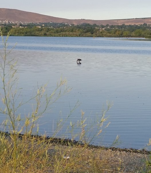
Bird in the Columbia River.
Bird in the Columbia River.