1.9 hr
Overview
This route details Trail 25 (East), one of four segments forming Trail 25 a 25 mile loop around the perimeter of Riverside State Park. \n\nA grueling tour de force in its entirety, Trail 25 leads visitors on a circuitous route. During which, it travels in and out of forests and meadows, along hills and down bluffs, across riverbeds and through tracts of sand. Fortunately, there are many access points each segment was created with entrance and exit points in mind.\n\nTrail 25 (East) is the easiest of the four segments of Trail 25, taking riders for a leisurely pedal along the banks of the Spokane River between the Bowl and Pitcher Trailhead and the Wilber Trailhead.\n\nThe trail can be ridden in either direction but instructions are given for one.\n\nBeginning from the Bowl and Pitcher Trailhead requires riders to walk their bikes across a large suspension bridge to the trail. The trail travels North (counter-clockwise) as the opposite direction heads into the equestrian park which is closed to bicycles.\n\nAfter the stairs above the bridge, turn right and head up the hill. Climb for .2 miles and then take a right turn at the intersection. Continue along the undemanding doubletrack for just under a mile nice views of the river along the way.\n\nAt this juncture riders have a choice to continue along Trail 25 (East), a path which leads down a short steep pitch that is unnecessarily loose. Or riders can take a short, more stable, alternate route. \n\nContinuing along the main route takes riders directly along the edge of the river on the aforementioned treacherous section. The trail does clear up shortly though. To take the alternate route, riders can climb Trail 211 Connector onto the Centennial Trail (headed North) for 2,000' until it intersects back with Trail 25 (East).\n\nThe trail gently continues for 3/4 of a mile along a small plateau above the river before descending into a fun leafy trail surrounded by thick brush. This section is locally known as "Little Vietnam" watch out for clumps of stinging nett
Trail Stats
7.0 km
68 m
530 m
492 m
—
Photos

Back to the trailhead at dusk
Back to the trailhead at dusk
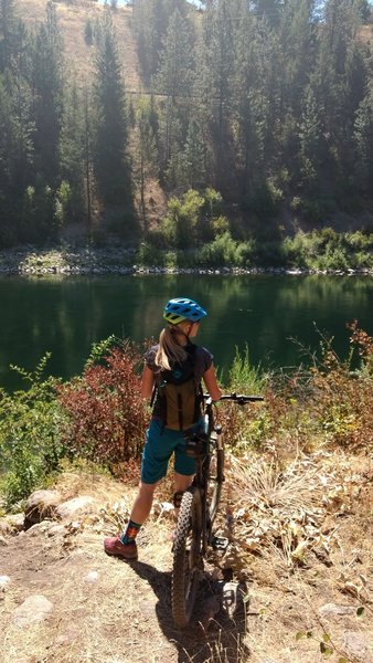
Summer ride by the river
Summer ride by the river
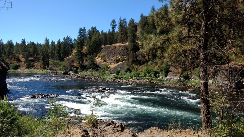
Spokane River
Spokane River

Little Vietnam trail
Little Vietnam trail