11.1 hr
Overview
Driving directions: From US Hwy 395 in Colville, travel east on WA-20 (E 3rd Ave). In just over a mile, turn left on Aladdin Road and stay on Aladdin for 25.5 miles. Hang a right on Deep Lake Boundary Road and follow for 7.3 miles. Turn right on Silver Creek Road, at 1.9 miles, stay right to go to the lower trailhead. At 2.3 miles, stay left at fork, the lower trailhead is in just over a mile at the end of the road. <br><br>To ride the loop, ride back down on the road approximately 1.7 miles and turn right on Road #7078. The climb up begins here. It is approximately 7.5 more miles to the upper trailhead. Abercrombie Mountain Trail #117 begins here. <br><br>The trail climbs up steeply on an old road bed. The forest is thick through here and the foliage has grown over the old road leaving a trail that is mostly singletrack up to a 'T' intersection with North Fork Silver Creek Trail #119. Continue left up Abercrombie Mountain Trail #117 from here to reach the summit and sub-alpine zone for the loop. From here, the trail is smooth and flowy for a bit but it begins to get more rocky and rugged as you go up in elevation. You'll start to break out into nice sub-alpine meadows which provide nice open views of the surrounding country. The trail becomes extremely rocky and rough the last 3/4 mile to the summit, but if you enjoy rocky technical riding then dragging your bike to the top is a must.<br><br>The summit provides excellent views from its rocky top. On a clear day, you can see all the surrounding mountains of British Columbia, Idaho, Montana, and Washington. Drop that saddle and enjoy the loose and rocky technical riding off the summit back down to the junction with North Fork Silver Creek Trail #119. From here, just continue straight forward and begin the fun, 5.9-mile descent back to the car. The trail has a couple small punchy hills on the way down but is almost entirely downhill.<br><br>While the area doesn't see much use, please keep in mind these are multi-use trails. Hikers and equestrians do use t
Trail Stats
34.7 km
1457 m
2221 m
838 m
—
Photos

View from the summit, with weather rolling in. Time to descend!
View from the summit, with weather rolling in. Time to descend!
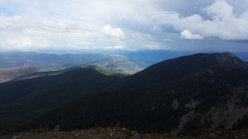
View of the summit looking south
View of the summit looking south
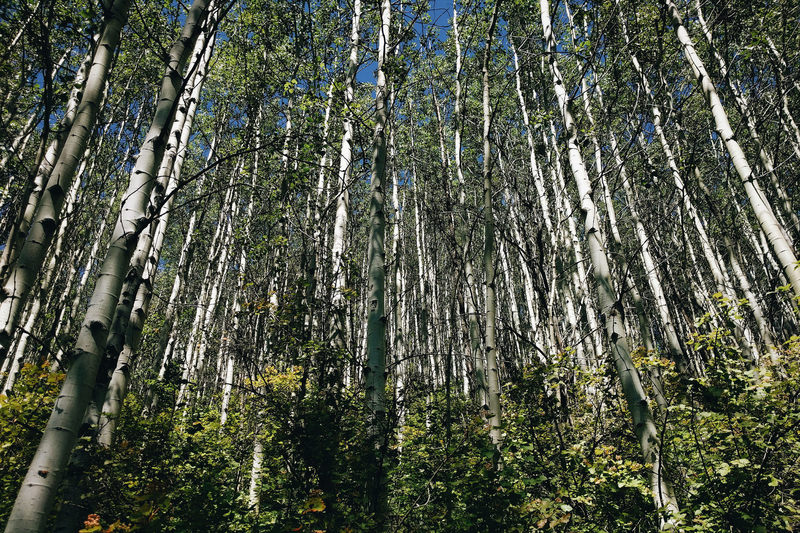
Abercrombie Mountain Aspens.
Abercrombie Mountain Aspens.

Hike-a-bike to the summit of Abercrombie.
Hike-a-bike to the summit of Abercrombie.
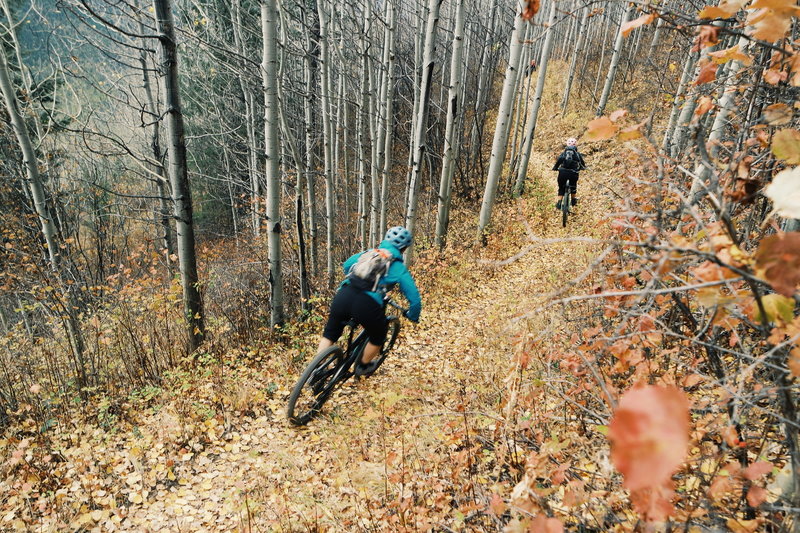
Riding through Aspens in the Fall.
Riding through Aspens in the Fall.
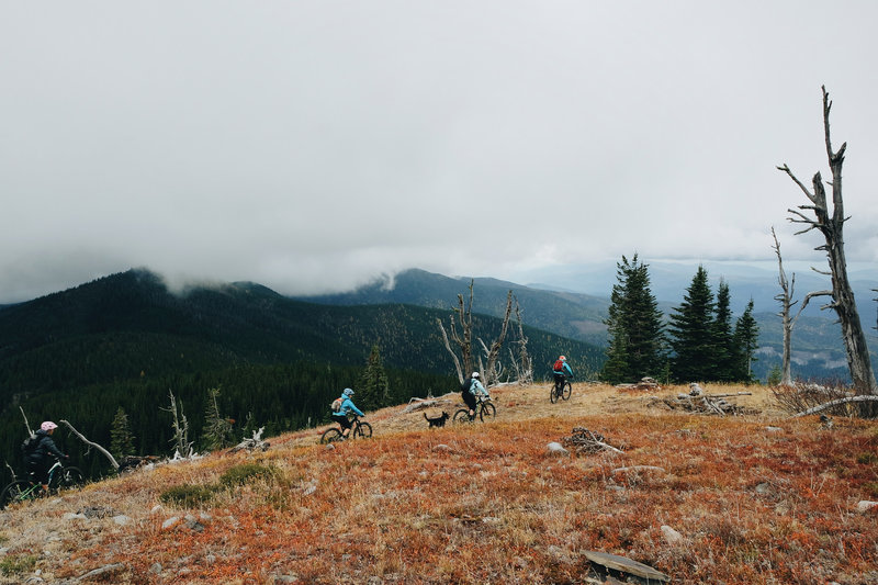
Abercrombie Mountain Trail in the Fall.
Abercrombie Mountain Trail in the Fall.
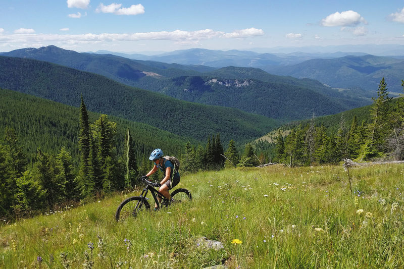
Meadows and views on the Abercrombie Mountain Trail.
Meadows and views on the Abercrombie Mountain Trail.