4.5 hr
Overview
From Hwy 225, the Rattlesnake Trailhead is located south of, and adjacent to, the Rattlesnake Mountain Shooting Facility. The parking lot is large and hard to miss on the west side of the road. <br><br>Multiple trail options greet hikers, bikers, and horseback riders in this system. A map is available through Runnersofthesage.com. <br><br>Optimal route (IMO) is to ascend the South Canyon Trail and descend the north Red Rock Ravine canyon. Both directions are fun, but clockwise will give you the faster downhill (for MTB'ers).
Trail Stats
14.9 km
439 m
547 m
140 m
—
Photos
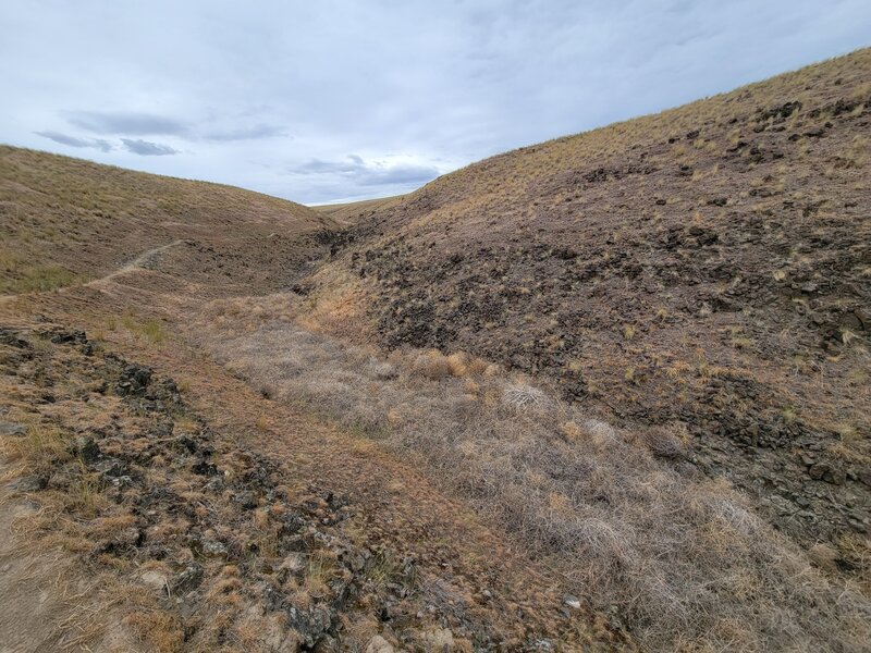
South trail looking up.
South trail looking up.

South trail looking down.
South trail looking down.