5.5 hr
Overview
Parking is about 1/4 mile behind the Two Rivers Cafe. The trail begins with a double to singletrack switchback climb for about 2 miles, narrow in spots. You are nearly immediately in tree cover and remain there for the rest of the ride. There are a few very steep and switchbacked climbs, and there's about another mile to climb after you cross the wooden bridge. <br><br>Don't be discouraged, what follows is a fast and flowy singletrack descent following the contours of the mountain back down. It's mostly smooth singletrack with a few small sections requiring technical riding skills, but not many. Watch your speed on the descent as there are some places where you could slide down an edge. Overall, it's a bit more than "Intermediate", but a bit less than "Difficult". <br><br>Once you finish the trail, follow the fireroad downhill about a mile to the first bridge. Cross that and follow Route 49 (direction => up) about 4 miles back to Downieville, or turn around and head back up the North Yuba Trail. It's not a heavily used trail, but be on the lookout for descending riders if you do.
Trail Stats
17.7 km
618 m
1150 m
808 m
—
Photos
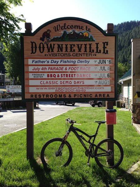
The classic.
The classic.
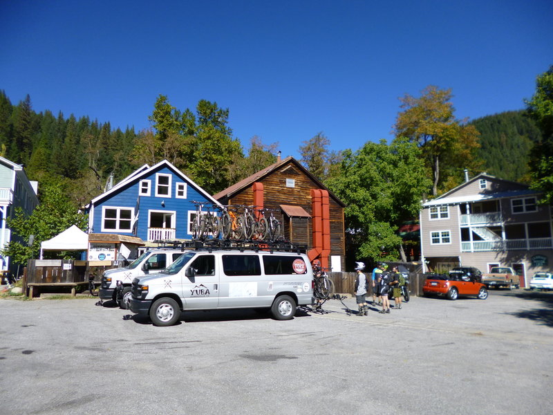
The fun North Yuba Loop starts here! If you want to shuttle, the cost is just $20 per person, bikes ride free.
The fun North Yuba Loop starts here! If you want to shuttle, the cost is just $20 per person, bikes ride free.