8.6 hr
Overview
Start from Castaic Regional Sports complex. The flat pavement ride from there to the trail passes a Los Angeles County jail facility, so don't stray from the road. Take Wayside Canyon Rd. and Wayside Canyon Connector to the major intersection. This is the central point for trailheads to Kona Singletrack & Dogtag trail (incl. Top-Dog), which are both located on the southern end of Tapia Canyon.<br><br>But let's go for SideWinder trail and G-Out trail first, so follow the fire road northbound (San Francisquito Motorway), ignore the shortcut to G-Out trail and stay on the fire road. There's an optional alternative singletrack parallel to the fire road - continue uphill. Stay right at the next junction until you reach another fire road crossing. Make a left here and leave the fire road after ~100ft, start from the top of the small hill and take the westbound trail (ignore the straight one facing southbound, even if it will look very tempting). Follow the flowy and fast sections of the SideWinder trail, cross one more fireroad and continue straight ahead. Where the canyon narrows, SideWinder will merge with trails from the right and left and continue as G-Out for a great combination of both singletracks.<br><br>Entering G-Out trail, you'll face some more technical, but still good fun sections, a few natural wall rides, ups and downs where the canyon narrows at some sections. At the end of the trail, keep left and start the fire road climb back to Tapia Canyon Rd.<br><br>When reaching the top and close before the Edison towers, make a sharp right turn for the trailhead to Dogtag trail (incl. Top-Dog). The upper part (Top-Dog) is slightly steeper, but still enjoyable to ride and offers plenty of variants. The lower part of Dogtag is very smooth and full of flow, not too hazardous! At the trail end, keep right to merge onto Kona singetrack and continue up to Tapia Canyon Rd.<br><br>If you're still hungry for more, keep right on the fire road (the left would be the way back to the car parking), climb one more time up to
Trail Stats
30.6 km
589 m
592 m
339 m
—
Photos
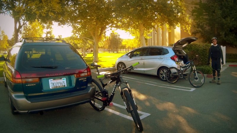
Starting at Castaic Sports Complex.
Starting at Castaic Sports Complex.
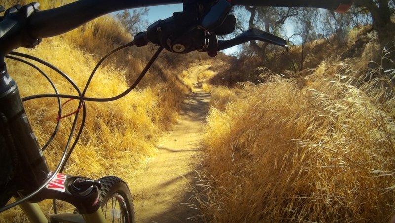
Fun singletrack.
Fun singletrack.
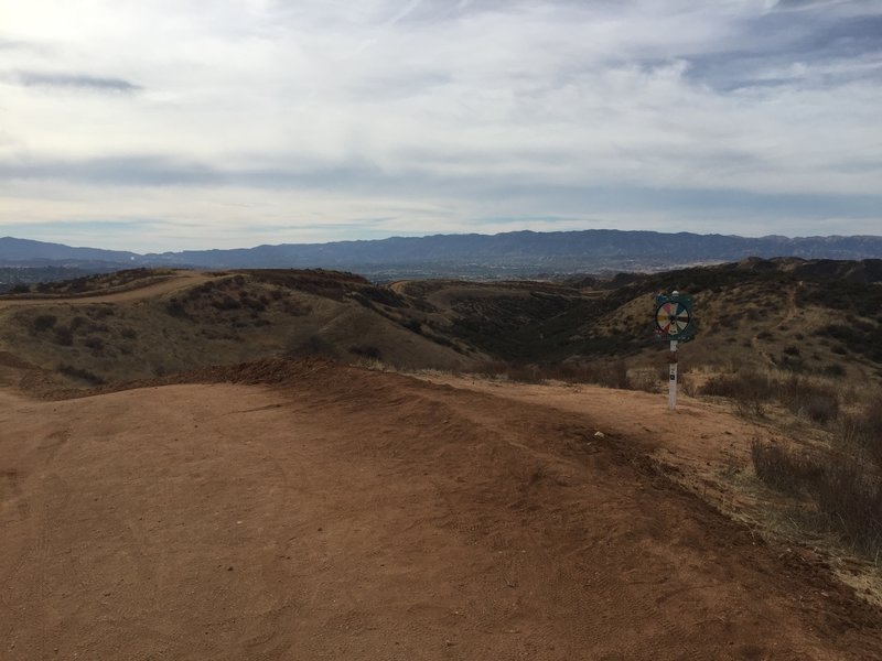
View from the top! It was partly cloudy and hot.
View from the top! It was partly cloudy and hot.
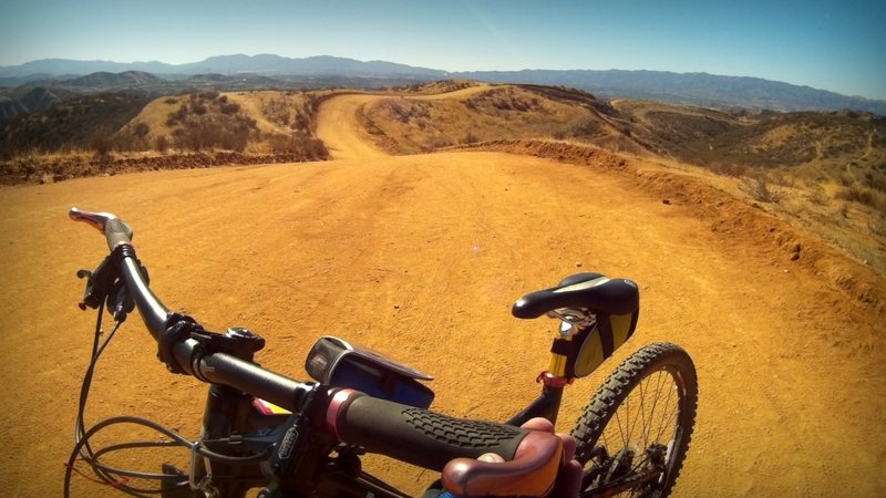
At Tapia peak.
At Tapia peak.

Nice up and down at Kona section
Nice up and down at Kona section
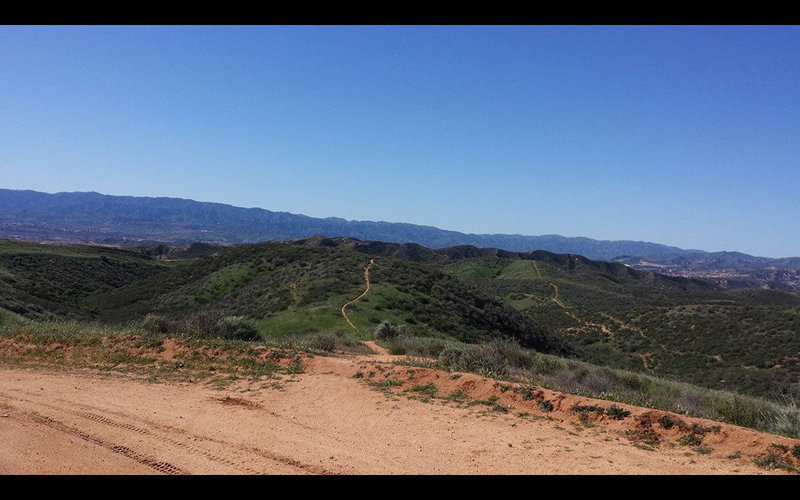
It sure is pretty after it rains.
It sure is pretty after it rains.
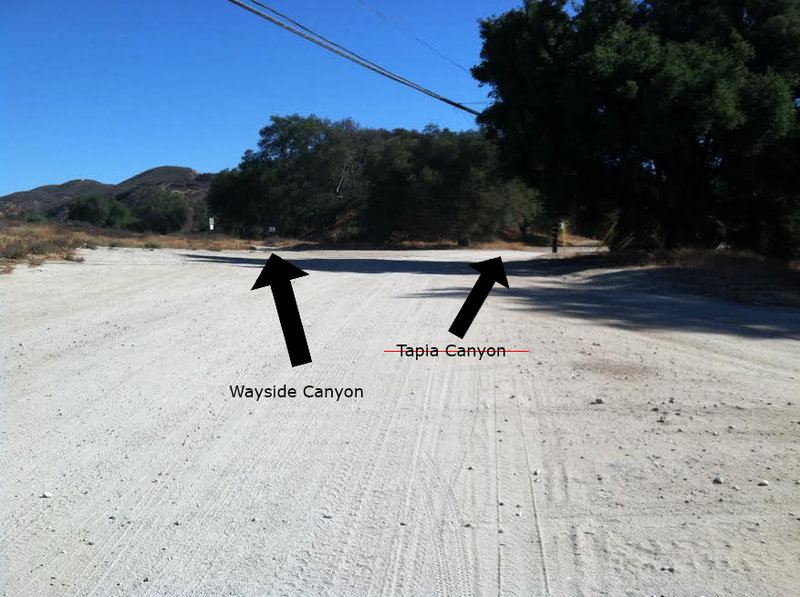
Lower Tapia Canyon Rd. is closed. Please, respect the landowner's wishes! Don't ride up there anymore so that we don't lose access to the trails higher up. Ride Wayside Canyon instead.
Lower Tapia Canyon Rd. is closed. Please, respect the landowner's wishes! Don't ride up there anymore so that we don't lose access to the trails higher up. Ride Wayside Canyon instead.
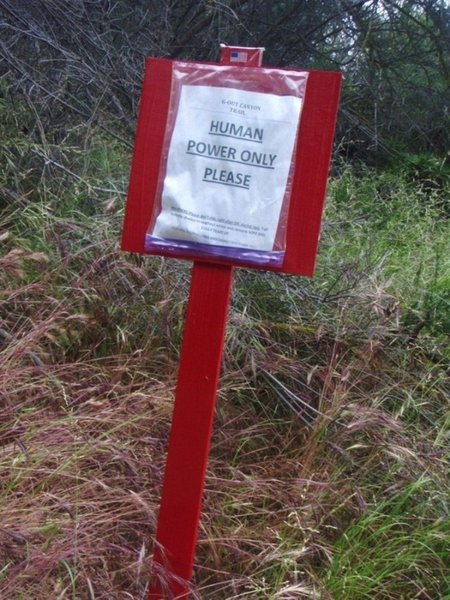
Sign at G-Out entrance
Sign at G-Out entrance

View from the "towers"
View from the "towers"

Singletrack going downhill.
Singletrack going downhill.
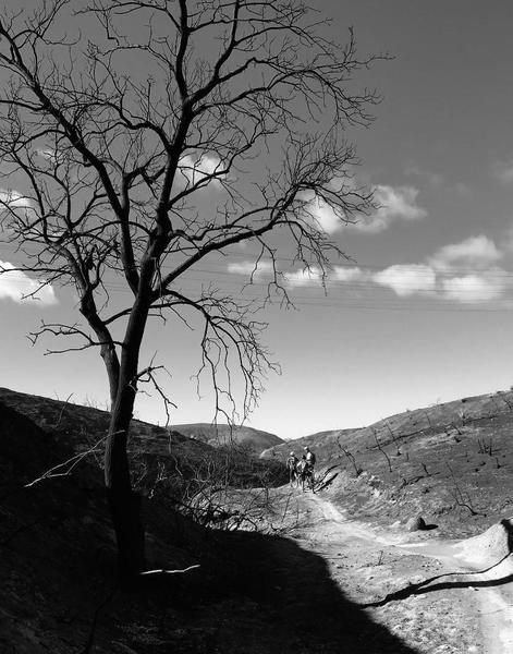
Fire devastation.
Fire devastation.
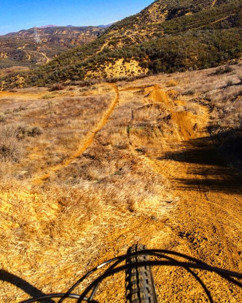
After climbing for a bit, there is a bike park!
After climbing for a bit, there is a bike park!