7.6 hr
Overview
From the intersection of Angeles Forest Highway and Angles Crest, head on Angeles Forest highway for just a bit and take the first right on Josephine fire road (it is well marked with a sign). This climb is steep and a little loose, you'll gain quite a bit of elevation on the way to the Josephine / Strawberry saddle. Grind it out.<br><br>Once at the saddle, take a right on the Strawberry Saddle Trail and after about 0.5 miles you'll meet up with the Colby Canyon Trail. The Colby Canyon Trail starts leading you around the North side of Strawberry Peak. This section is up and down, but stays at roughly the same elevation as it winds around the mountain. You'll drop into Strawberry meadows which still has some nice big pine trees, and descend further to the trail junction. There is a register box here, and you'll want to go to the right onto Strawberry Peak Trail, which heads back uphill towards the Strawberry/Lawlor Saddle.<br><br>The climb to the saddle may be sandy, depending on recent rain. It has already improved noticeably since Summer 2014. Once at the saddle the downhill to redbox is fun.<br><br>You'll get to the Angeles Crest Highway, where you need to cross and take the trail that starts from the parking lot on western end. The top section of this is fast and not technical with wide switchbacks. Further on, the rocks gets chunkier and more technical, eventually taking you down to a popular picnic area. From here you climb the road to Nature's Canteen Trail, which connects to Clear Creek Information Station.
Trail Stats
25.0 km
790 m
1592 m
1008 m
—
Photos
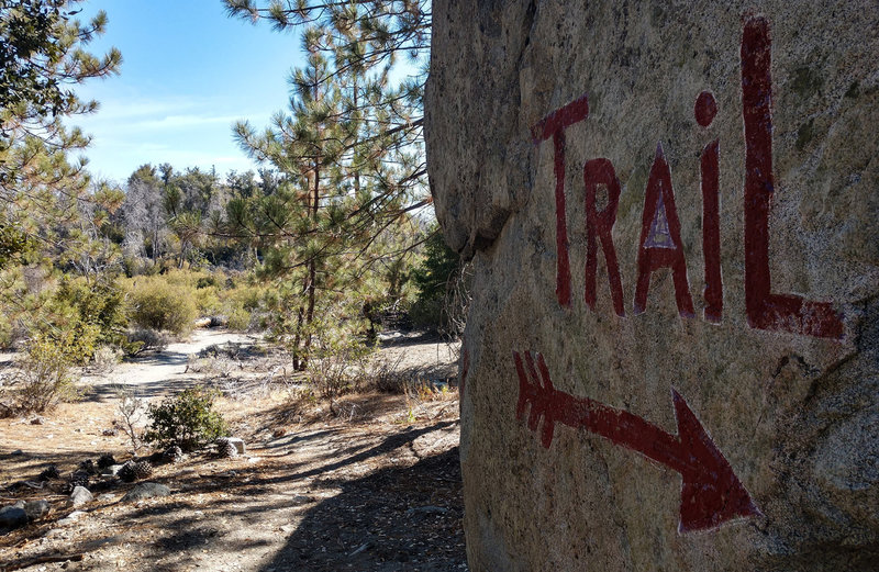
Just a reminder...
Just a reminder...
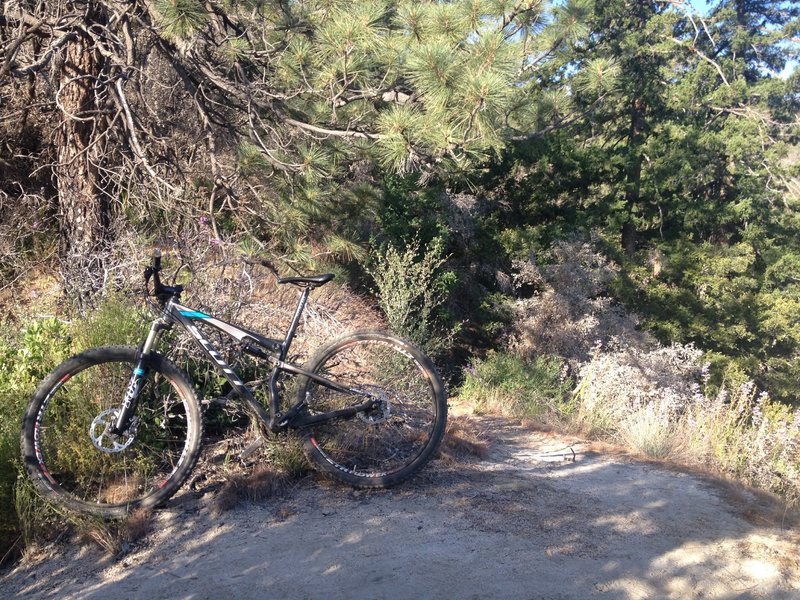
Strawberry peak trail
Strawberry peak trail
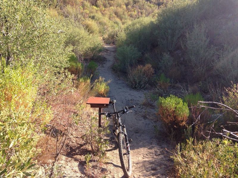
The register box where you'll want to go to the right onto Strawberry Peak Trail, which heads back uphill towards Strawberry / Lawlor saddle.
The register box where you'll want to go to the right onto Strawberry Peak Trail, which heads back uphill towards Strawberry / Lawlor saddle.
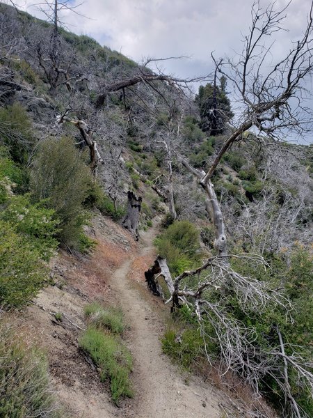
Bees are swarming in a tree here, be careful not to aggravate them, their hive is located in a dead tree.
Bees are swarming in a tree here, be careful not to aggravate them, their hive is located in a dead tree.
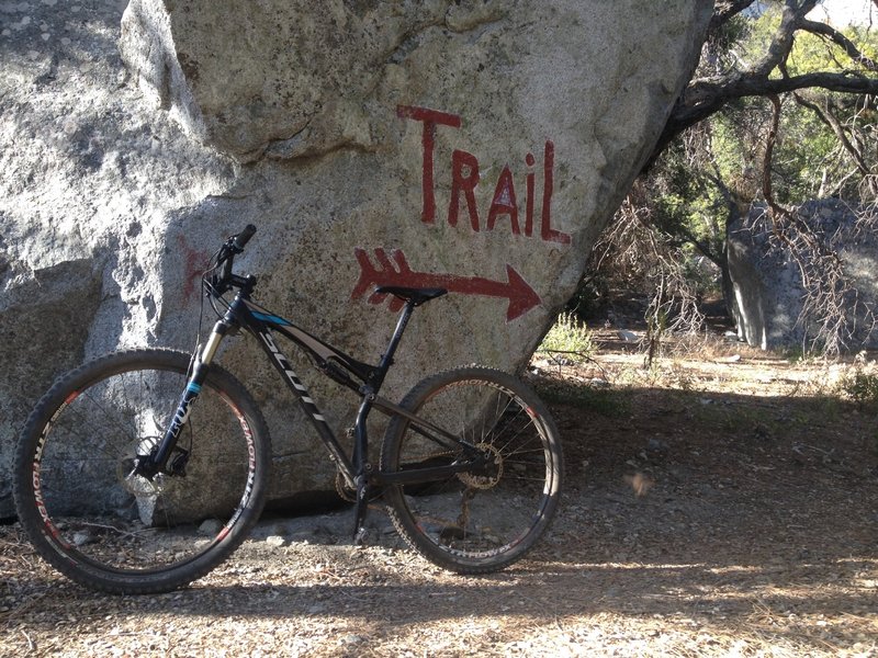
Strawberry meadows
Strawberry meadows
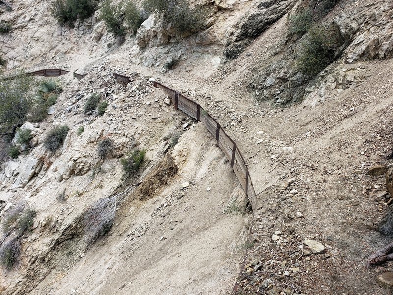
Trail is too eroded to ride, had to carry the bike here.
Trail is too eroded to ride, had to carry the bike here.
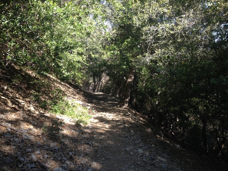
This section of the Gabrielino trail is fast and shaded.
This section of the Gabrielino trail is fast and shaded.
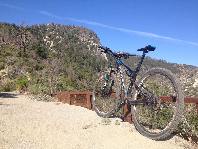
View of Strawberry peak from trail
View of Strawberry peak from trail
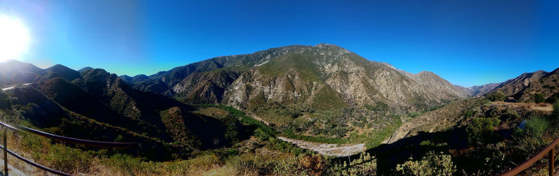
Riding Mt Wilson
Riding Mt Wilson
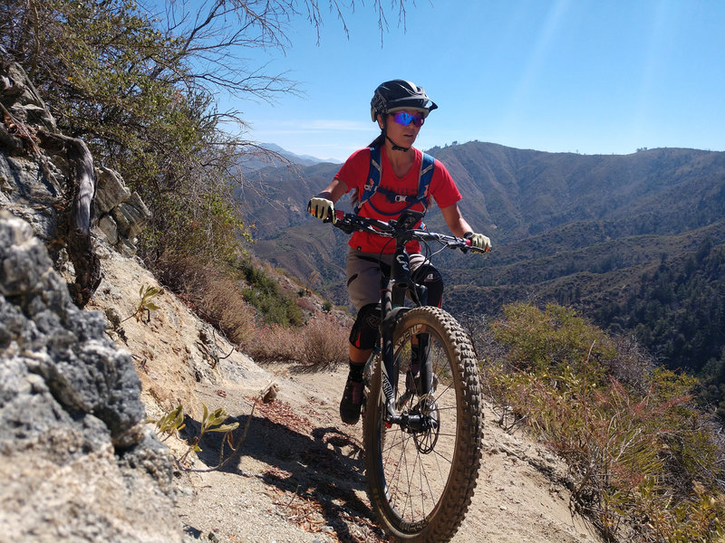
Plenty of exposure and elevation gain await you on this trail!
Plenty of exposure and elevation gain await you on this trail!
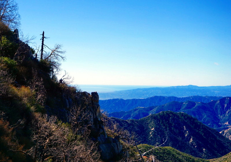
A faintly visible Carter, ignores the fantastic views as he rounds the corner into the Strawberry Peak Trail's downhill section. In the distance is the Lukens, Verdugos, and Santa Monica Mountain ranges.
A faintly visible Carter, ignores the fantastic views as he rounds the corner into the Strawberry Peak Trail's downhill section. In the distance is the Lukens, Verdugos, and Santa Monica Mountain ranges.
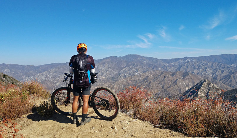
Spectacular views from the top of Colby Canyon.
Spectacular views from the top of Colby Canyon.
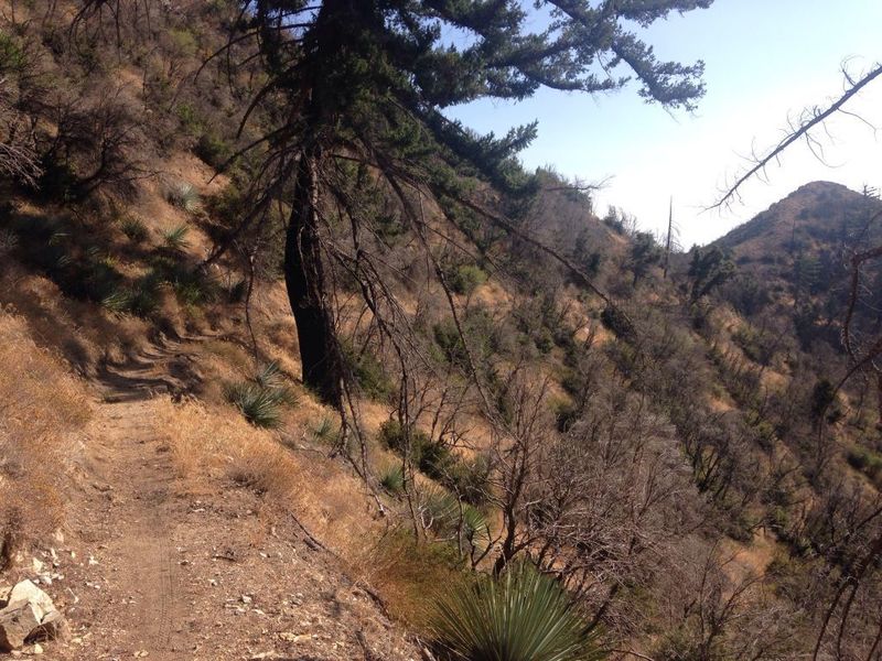
Looking back towards Josephine Saddle
Looking back towards Josephine Saddle
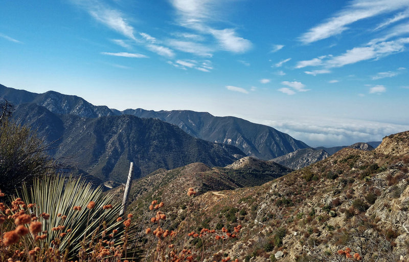
View from the top of Colby Canyon.
View from the top of Colby Canyon.
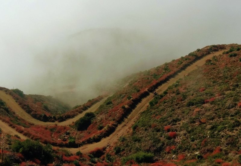
They look intimidating, but the switchbacks climbing to Josephine saddle are a very pleasant grade. South-facing, though, so exposed to the sun unless you climb it in a cloud.
They look intimidating, but the switchbacks climbing to Josephine saddle are a very pleasant grade. South-facing, though, so exposed to the sun unless you climb it in a cloud.
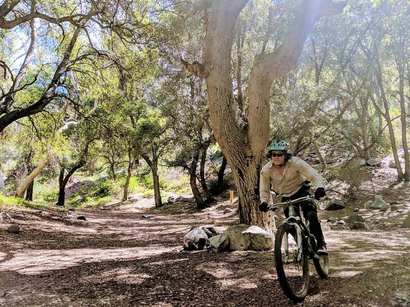
Rolling into idyllic Switzer's Picnic Area after an invigorating ride down from Red Box
Rolling into idyllic Switzer's Picnic Area after an invigorating ride down from Red Box
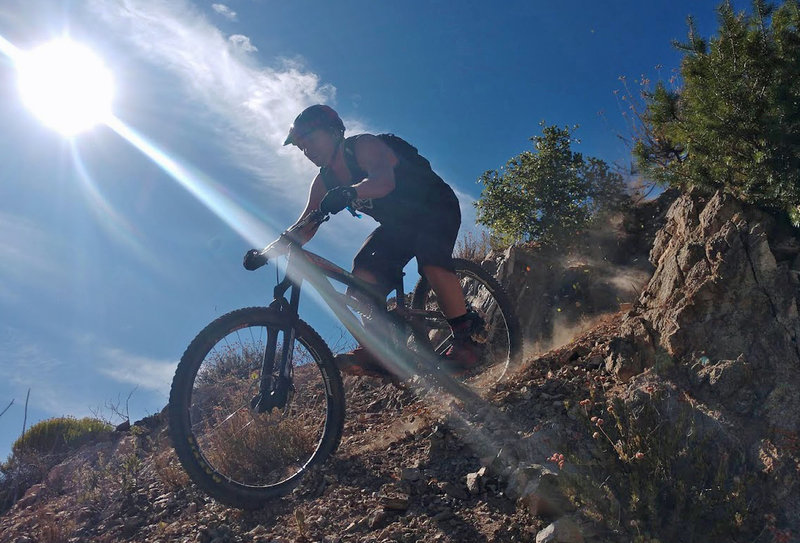
Gabriel Z. in classic form.
Gabriel Z. in classic form.
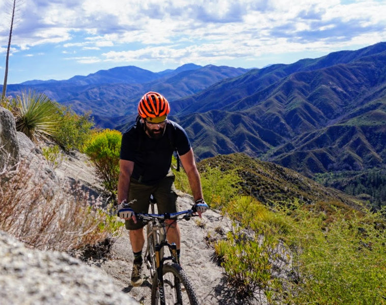
The ascent between Strawberry Meadows and the Lawlor Saddle is a lot like the view from it: long and breath-taking.
The ascent between Strawberry Meadows and the Lawlor Saddle is a lot like the view from it: long and breath-taking.
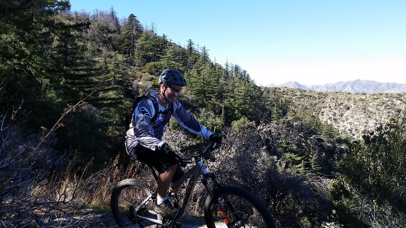
Rolling Colby Canyon Trail on my Knolly!
Rolling Colby Canyon Trail on my Knolly!
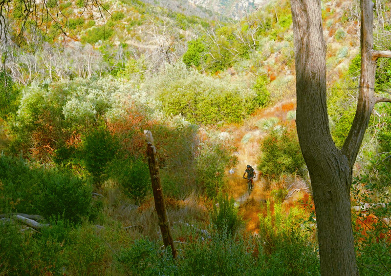
Martino climbs the Gabrielino from Switzers Picnic Area to Red Box.
Martino climbs the Gabrielino from Switzers Picnic Area to Red Box.
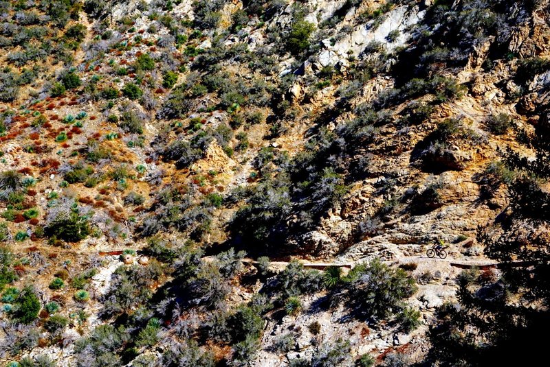
Alex Fore (bottom right) navigates the extreme exposure along Colby Canyon Trail on the Strawberry Peak Loop.
Alex Fore (bottom right) navigates the extreme exposure along Colby Canyon Trail on the Strawberry Peak Loop.
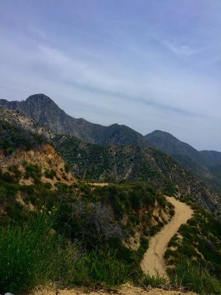
Looking back, half-way up the switchbacks on Josephine Saddle Fire road.
Looking back, half-way up the switchbacks on Josephine Saddle Fire road.

view toward the Angeles Crest Highway.
view toward the Angeles Crest Highway.
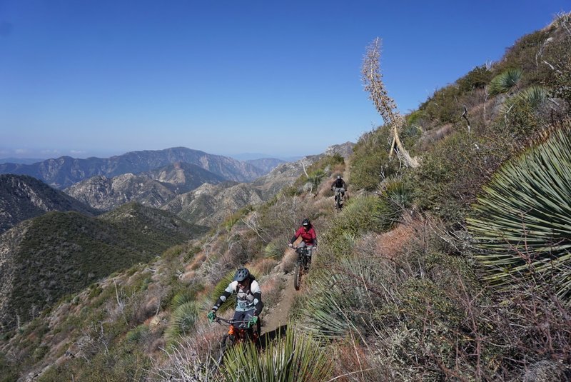
The descent from Lawlor saddle to Red Box offers more epic views of the Angeles National Forest
The descent from Lawlor saddle to Red Box offers more epic views of the Angeles National Forest