8.9 hr
Overview
You simply follow the paved road all the way until it ends at the Sunrise Highway. About half way there is a sharp right turn (a beautiful shade tree on the left - nice resting place). At this turn you could also go straight onto the Indian Trail, which ends on the Noble Canyon trail near the top. <br><br>Once you arrive at the Sunrise Highway, turn right and you'll find the upper Noble Canyon trailhead after about 1/2 a mile. Noble Canyon starts out fairly smooth with a slight climb. With the technical challenges kept to a minimum it's possible to enjoy the long views across the mountains. <br><br>You'll cross Pine Creek Road a couple of times along with the intersection to Indian Creek. This intersection is important when riding the Cuyamaca to Noble Canyon - IMBA Epic. <br><br>The smooth and fast descent continues until you reach a horse gate. The route becomes much more technical here as it enters the canyon and transitions from forest to chaparral. The trail texture changes to blocky rocks and drops. If you can handle it, speed and momentum is helpful through this kind of terrain. <br><br>When the terrain and vegetation changes again from chaparral to desert, the trail narrows and becomes more exposed above the canyon floor. The route is mostly descending with a few short climbs and includes two highly regarded rocky, technical sections: Stairway to Hell and Roman Road. <br><br>Towards the bottom of Noble Canyon, the trail will come to an intersection. Turn left here to take a longer route back to the Lower Noble Canyon Trailhead (Pine Creek Picnic Area). This section is smooth with a gradual climb and descent.
Trail Stats
30.5 km
742 m
1678 m
1125 m
—
Photos
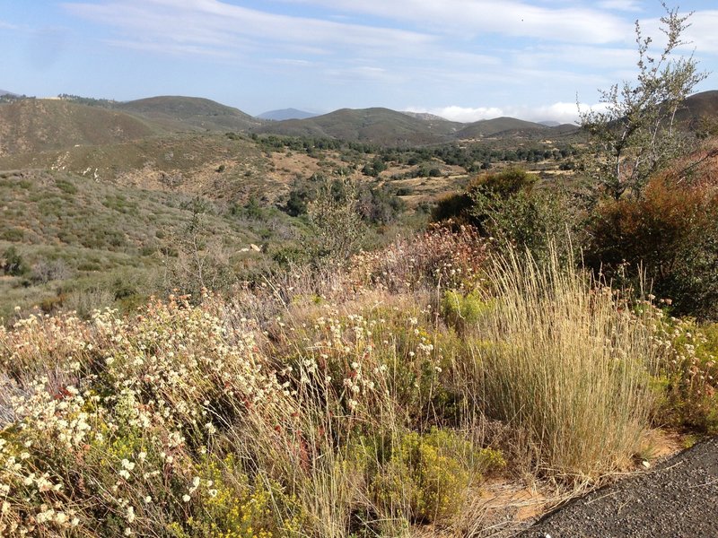
Vista from the fire road, looking towards Indian Creek
Vista from the fire road, looking towards Indian Creek
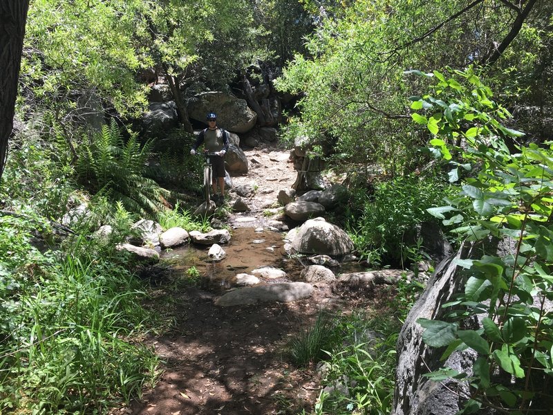
One of many creek crossings under the trees on the Noble Canyon trail. Refreshing!
One of many creek crossings under the trees on the Noble Canyon trail. Refreshing!
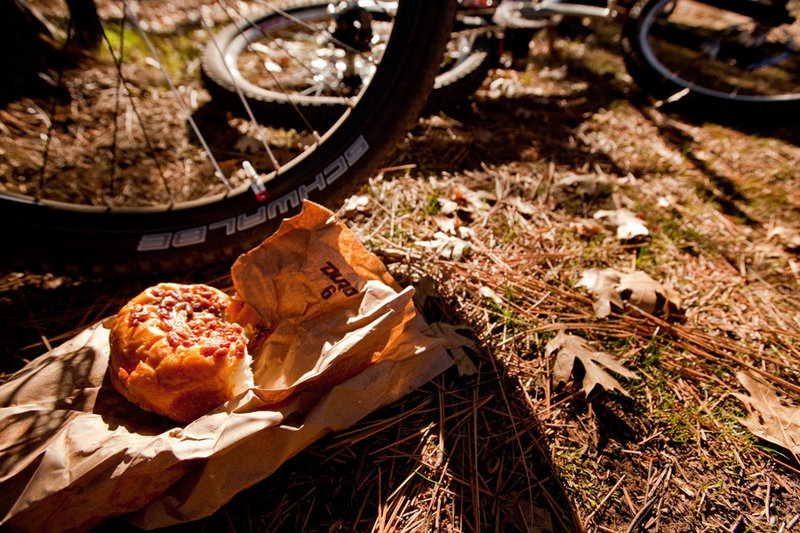
Real food for a really big ride at Noble Canyon
Real food for a really big ride at Noble Canyon

A rare "smooth" section between technical goodness on Noble Canyon!
A rare "smooth" section between technical goodness on Noble Canyon!
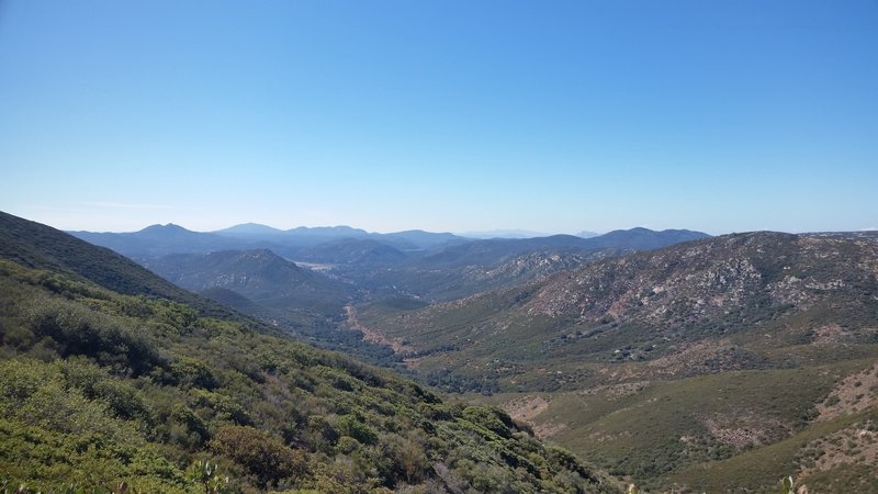
The Noble Canyon climb
The Noble Canyon climb

The intersection of Noble Canyon trail and Indian Creek trail
The intersection of Noble Canyon trail and Indian Creek trail

Vista from the fire road
Vista from the fire road
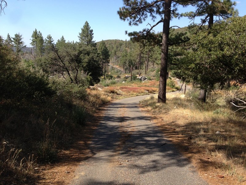
Upper fire road, inside pine forest.
Upper fire road, inside pine forest.
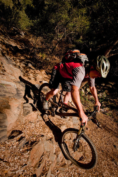
The Widow Maker
The Widow Maker
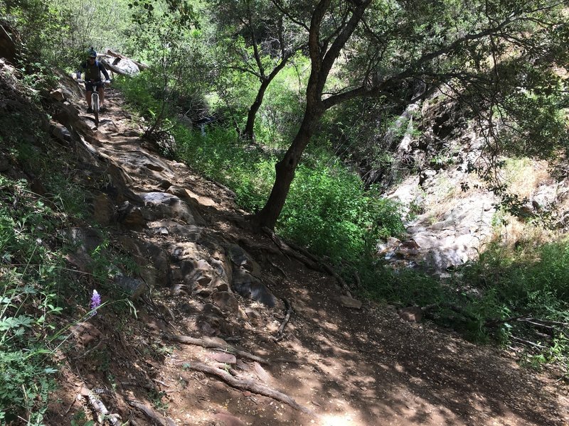
Working down Widowmaker!
Working down Widowmaker!
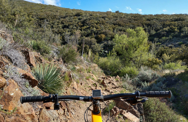
Chunkey Monkey...Stairway to Hell.
Chunkey Monkey...Stairway to Hell.

God's Country!
God's Country!
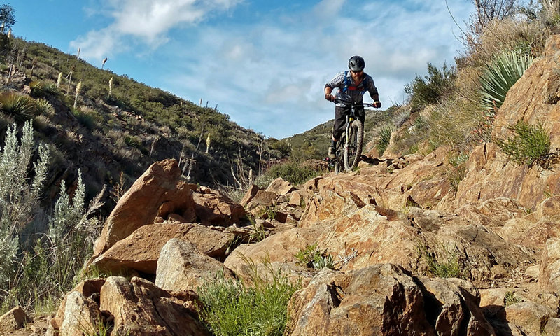
STH
STH

Upper reaches of the Noble Canyon trail.
Upper reaches of the Noble Canyon trail.
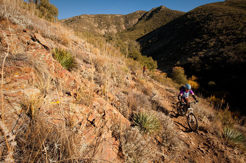
The lower reaches of the Noble Canyon trail travel through the desert.
The lower reaches of the Noble Canyon trail travel through the desert.
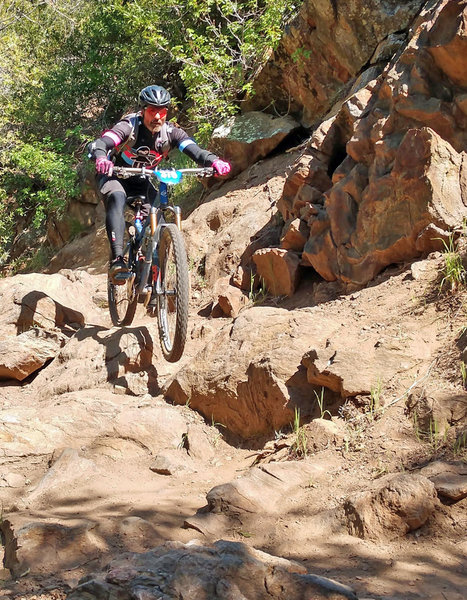
Ninja shred!
Ninja shred!
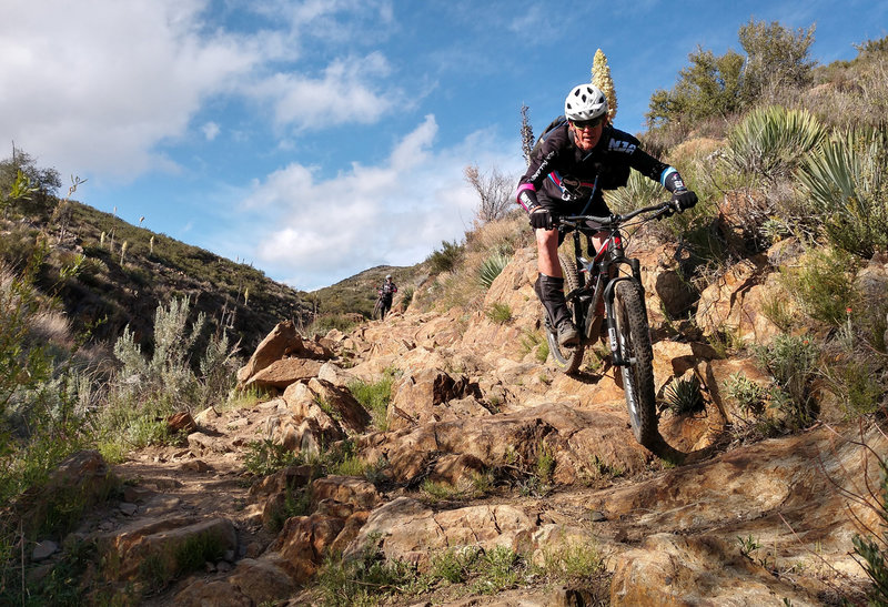
Randy cleaning STH!
Randy cleaning STH!

The Roman Road on lower Noble Canyon
The Roman Road on lower Noble Canyon