5.6 hr
Overview
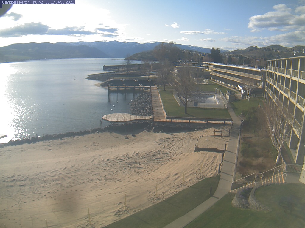
The camera looks Northwest along Lake Chelan. Map location for camera: Lat. 47.84064N Long. 120.02056W Camera courtesy of Campbell's Resort. National Weather Service 7 Day History for Entiat, WA. 14 miles southwest of Lake Chelan Elev: 2825 ft; Latitude: 47.732580; Longitude: -120.24315
Trail Stats
22.5 km
—
—
—
—
Photos
Trail photo
No caption provided.
Trail photo
No caption provided.
Trail photo
No caption provided.

Trail photo
No caption provided.