25.7 hr
Overview
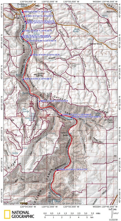
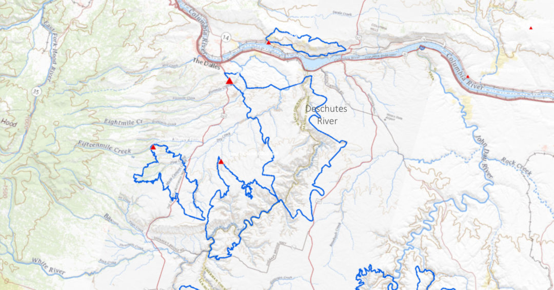
Vicinity Location: The trailhead is about 87 miles southeast of Portland, Oregon in the Lower Deschutes BLM lands. Directions:From Portland to Macks Canyon take I-84 East to the Wood Village, exit (16A). Head south and turn left onto NE Burnside Rd. Heading East, Burnside will merge into Highway 26. Follow Hwy 26 past Government Camp continue […]
Trail Stats
62.0 km
667 m
156 m
45 m
—
Photos
Trail photo
No caption provided.
Trail photo
No caption provided.
Trail photo
No caption provided.
Trail photo
No caption provided.
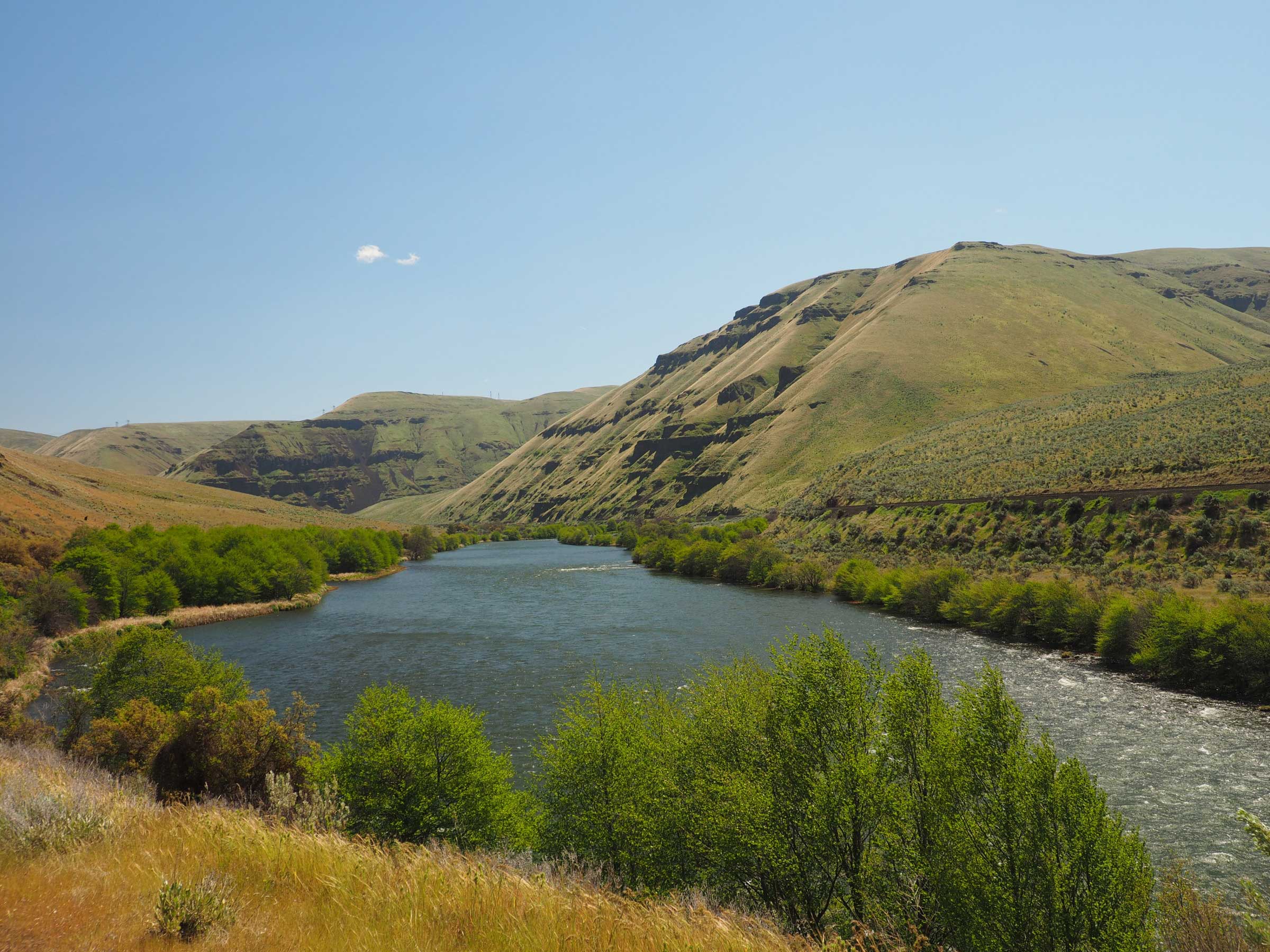
Trail photo
No caption provided.
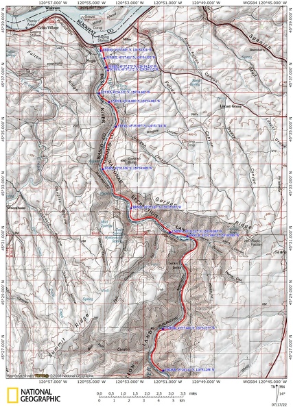
Trail photo
No caption provided.
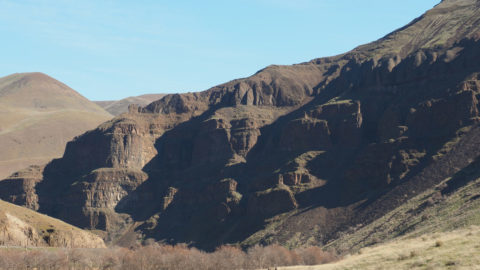
Trail photo
No caption provided.