5.9 hr
Overview
Vicinity Location:About 106 miles northeast of Portland, OR in Mt Rainier National Park. Directions:From Seattle: Follow I-5 South for 25 miles and take exit 142A to merge onto WA Highway 18 East toward North Bend/Auburn. Drive 4.4 miles and take the Auburn Way/WA Highway 164 East exit toward Enumclaw for 0.2 mile. Make a slight […]
Trail Stats
15.5 km
1747 m
1778 m
738 m
—
Photos
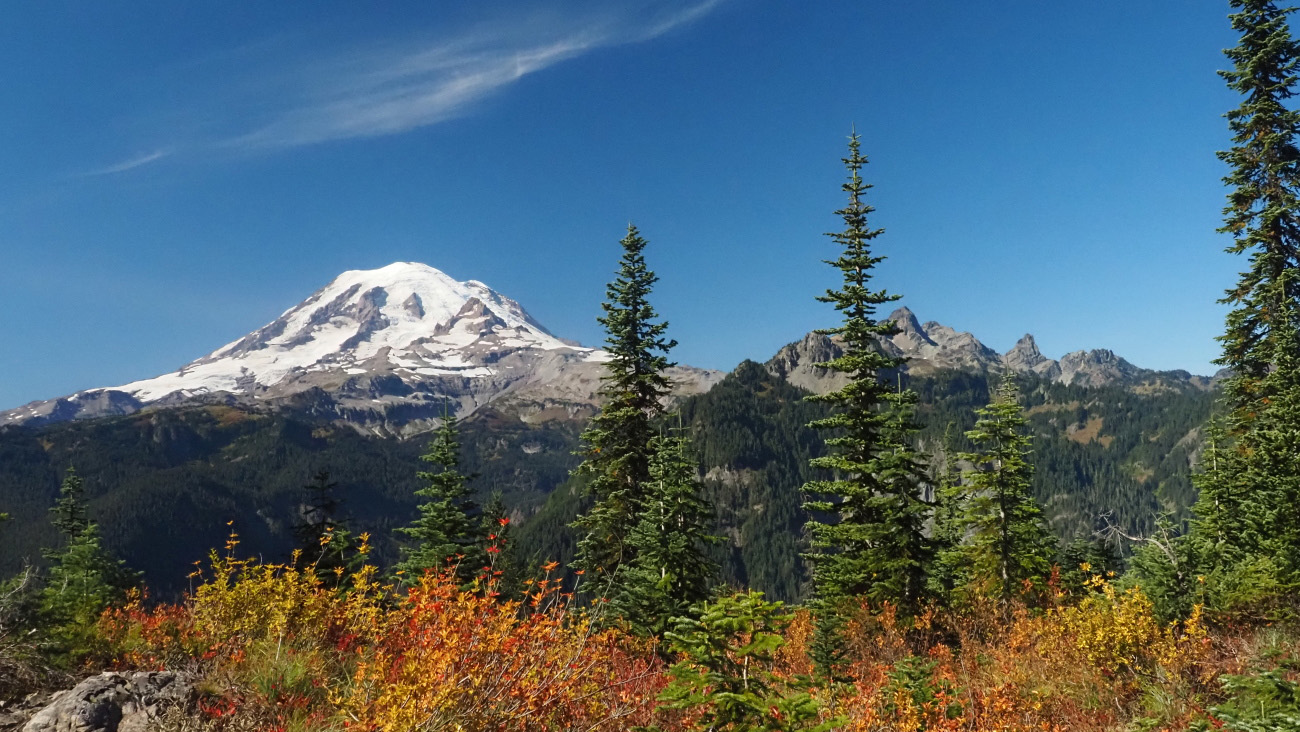
Trail photo
No caption provided.

Trail photo
No caption provided.
Trail photo
No caption provided.