18 min
Overview
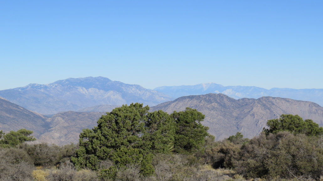
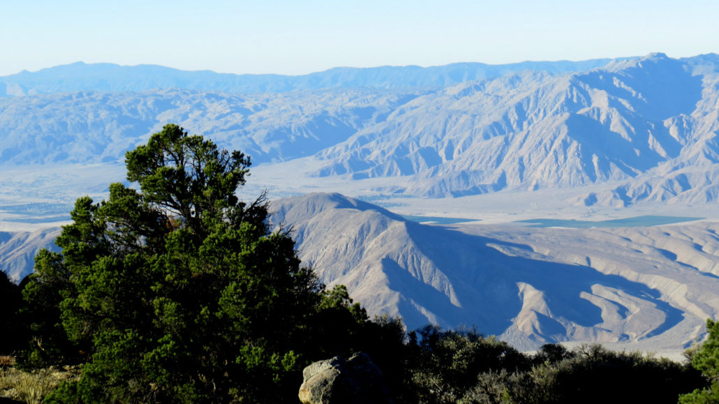
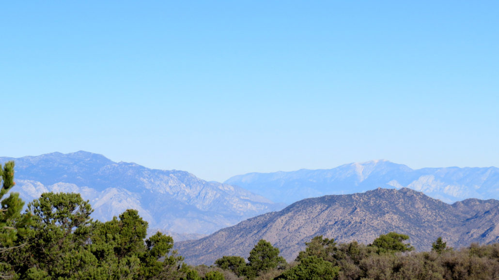
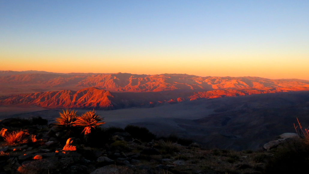
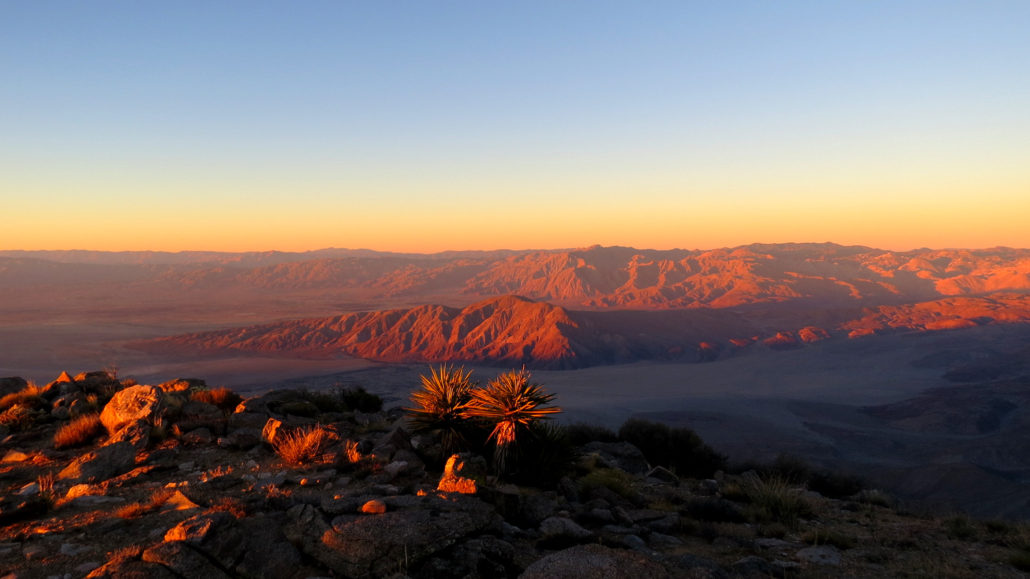
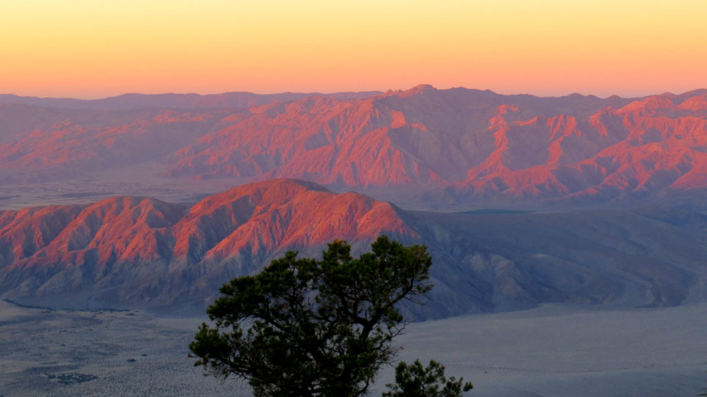
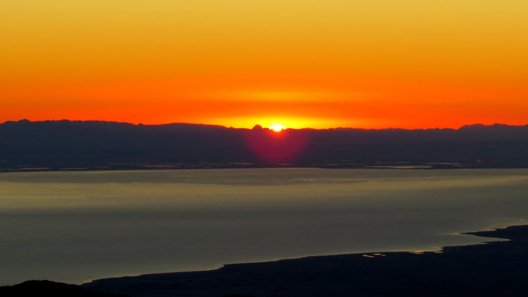
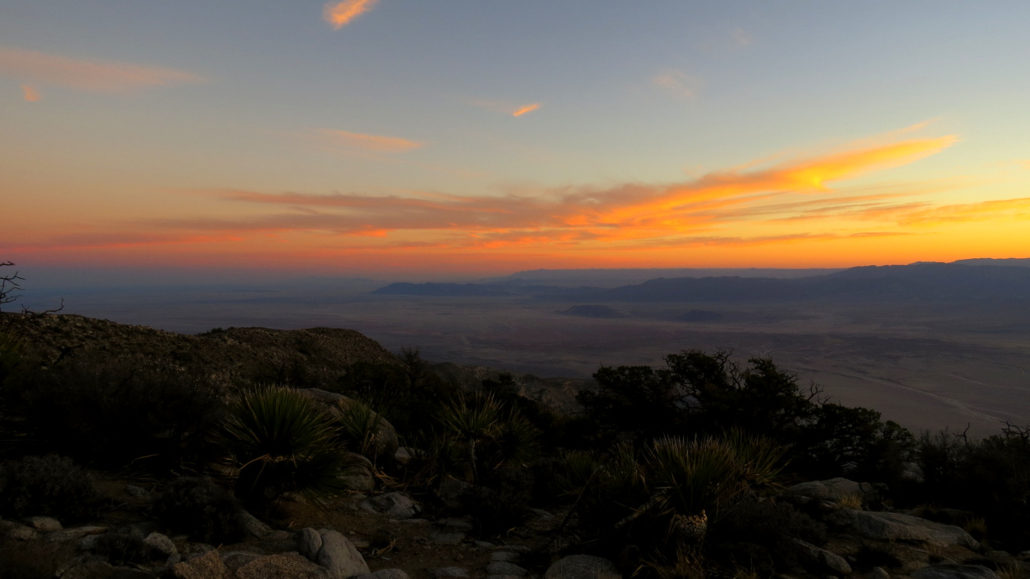
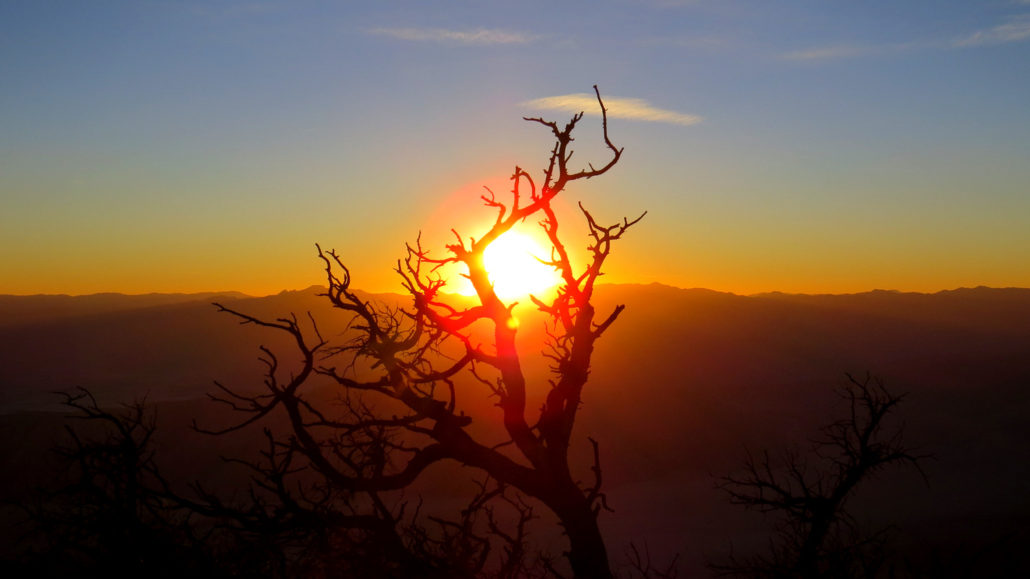
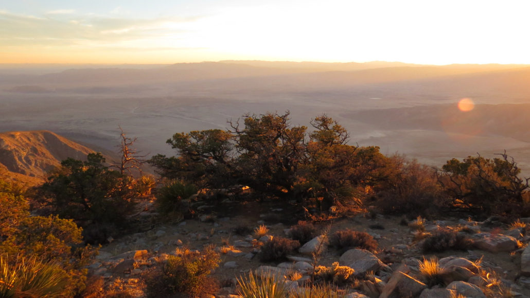
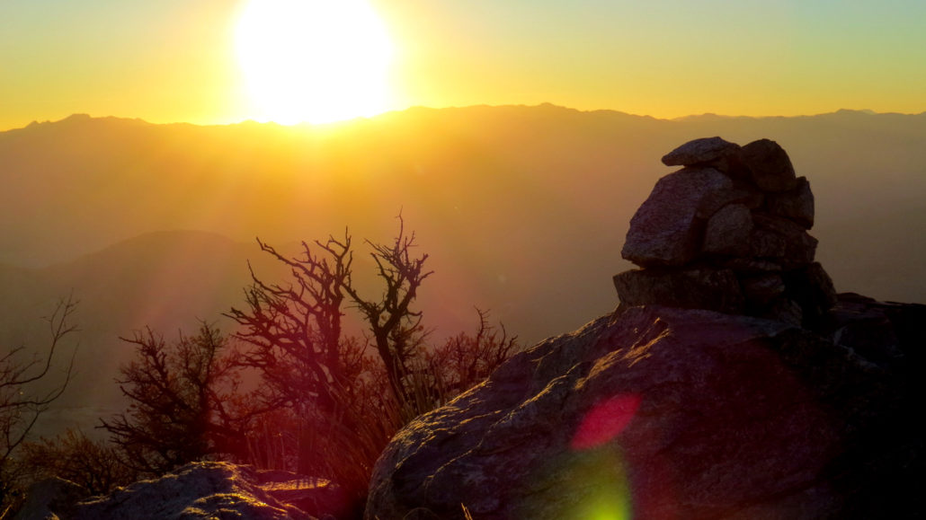
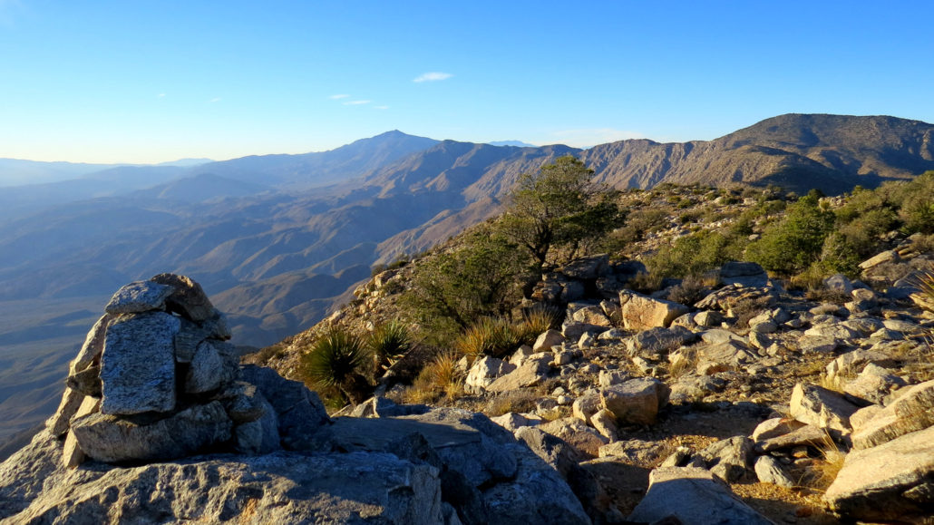
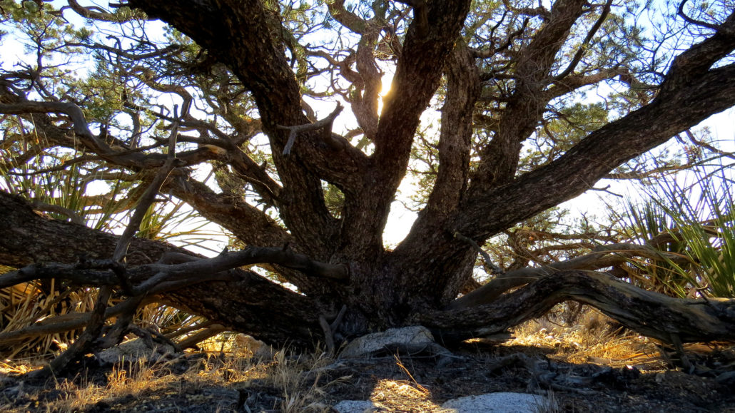
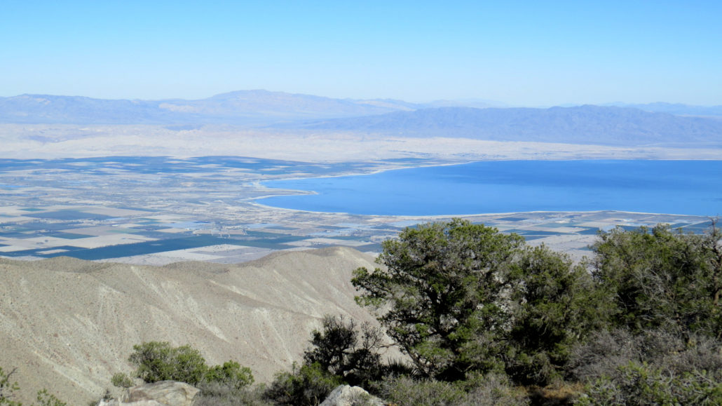
One of the most challenging hikes in Southern California. This ascent of a long, ramp-like ridge takes you first to Villager Peak and then, after much undulating, to the remote sky island of Rabbit Peak. The views are phenomenal, and the sunsets and sunrises can be once-in-a-lifetime experiences. Not for the faint-of-heart, and certainly only for experienced hikers, this is one of the most memorable hikes you can take in Anza-Borrego Desert State Park. Villager Peak before sunset If you’ve spent any amount of time in Borrego Valley, then chances are you’ve seen it staring you down, both challenging and beckoning you: a formidable wall of granite rising straight up from the desert floor and culminating in a flat, wooded summit known as Rabbit Peak. This sky island crowned with pinyon pines, meadows, and chaparral stands aloof from the rest of Southern California in one of the most isolated and difficult-to-reach parts of the region. No roads and few trails penetrate this part of the Santa Rosa Mountains, and the only way to reach the peak is to undergo the ordeal of climbing straight up a daunting ridge from the desert floor. Pinyon snag at sunset There are two popular routes reaching Rabbit Peak. A north approach from the Coachella Valley is shorter, but far steeper. The east approach described here rises up from Borrego Valley via a ramp-like ridge that leads first to Villager Peak (itself a daunting destination at 14 miles and 5000′ of gain) before following an undulating ridgeline to Rabbit. The total distance on this route is 21 miles with a gain of 8300′. Rabbit Peak and the terrain inbetween it and Villager Peak Incredibly, even though Rabbit Peak is only 900′ higher than Villager Peak, there is a net gain and loss of 3,300′ over the 7 mile round trip hike from Villager Peak. The adventurous and stamina-blessed souls who assault Rabbit on dayhikes insist with great sincerity that this route is more difficult than Cactus-to-Clouds, which climbs Mt. San Jacinto from Palm Springs. Remember that on Rabbit Pea
Trail Stats
36.6 km
2529 m
2027 m
289 m
—
Photos
Trail photo
No caption provided.
Trail photo
No caption provided.
Trail photo
No caption provided.
Trail photo
No caption provided.
Trail photo
No caption provided.
Trail photo
No caption provided.
Trail photo
No caption provided.
Trail photo
No caption provided.
Trail photo
No caption provided.
Trail photo
No caption provided.
Trail photo
No caption provided.
Trail photo
No caption provided.
Trail photo
No caption provided.
Trail photo
No caption provided.