12 min
Overview
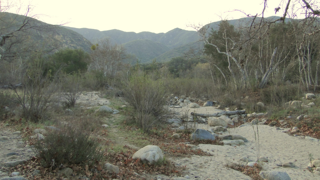
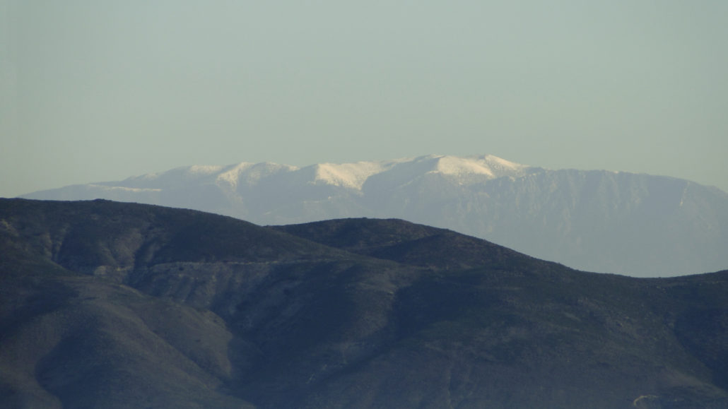
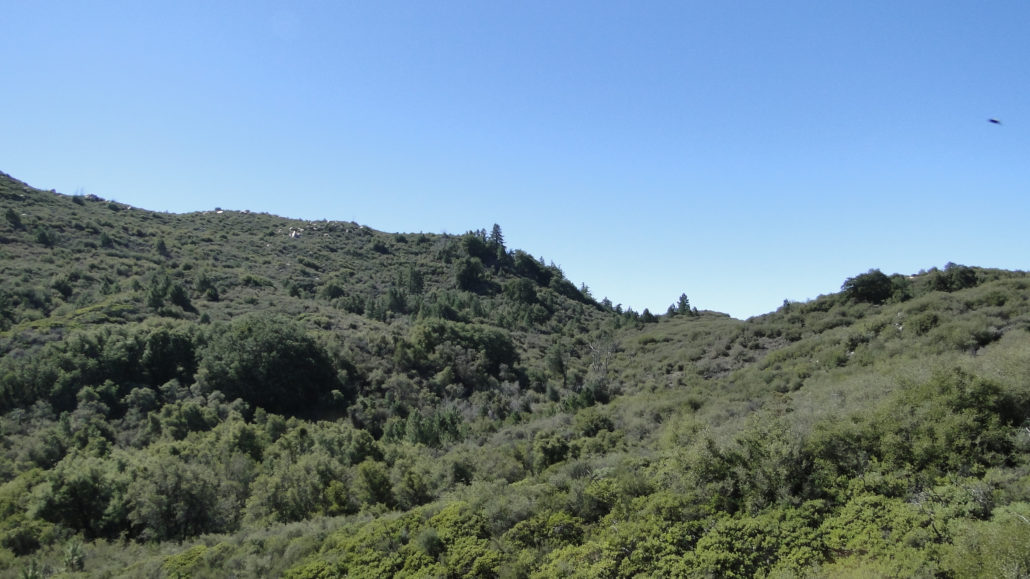
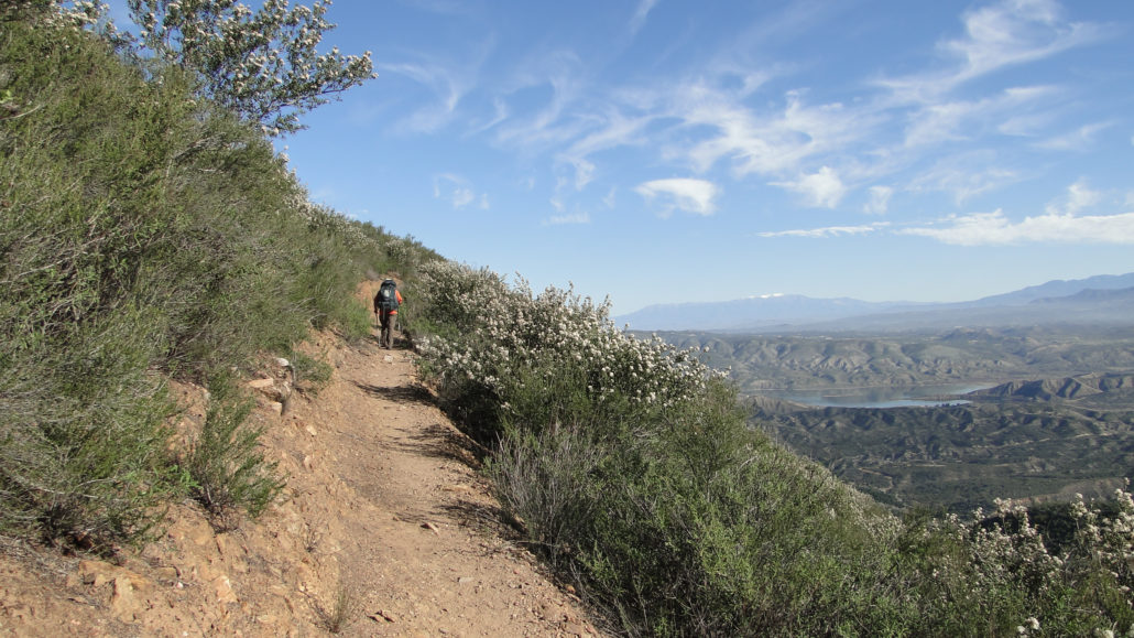
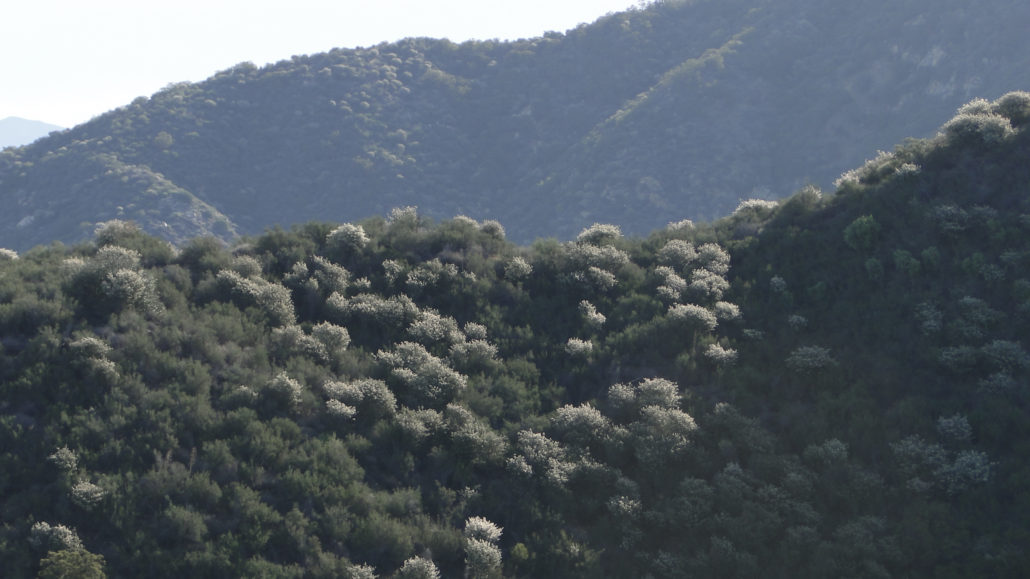
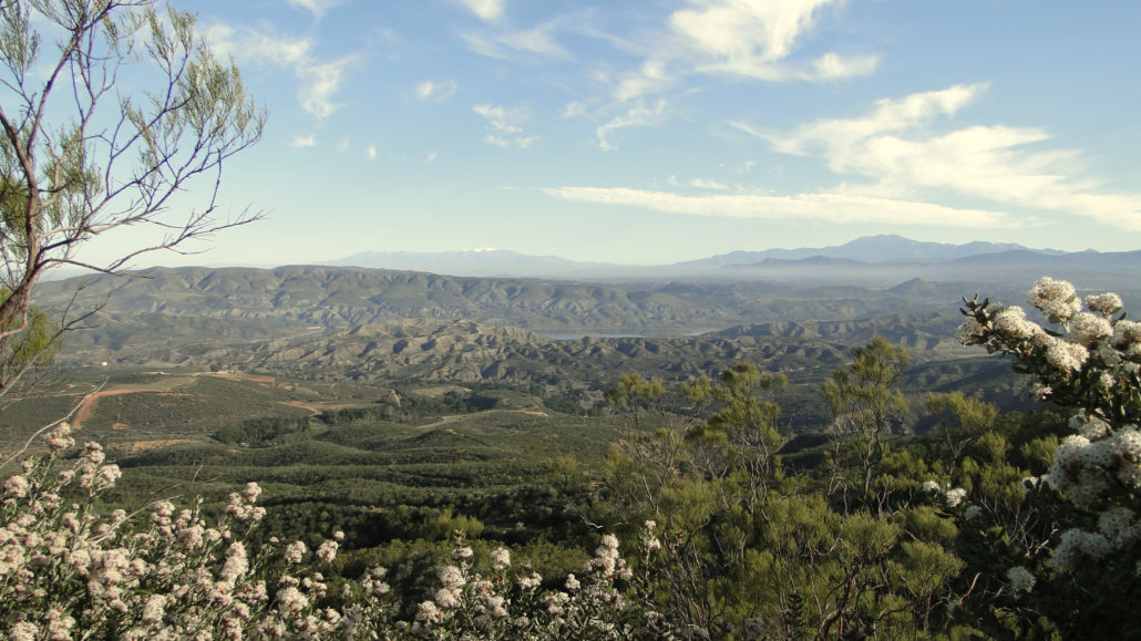
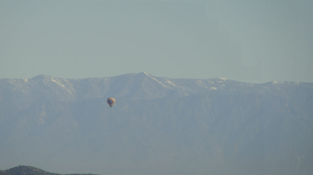
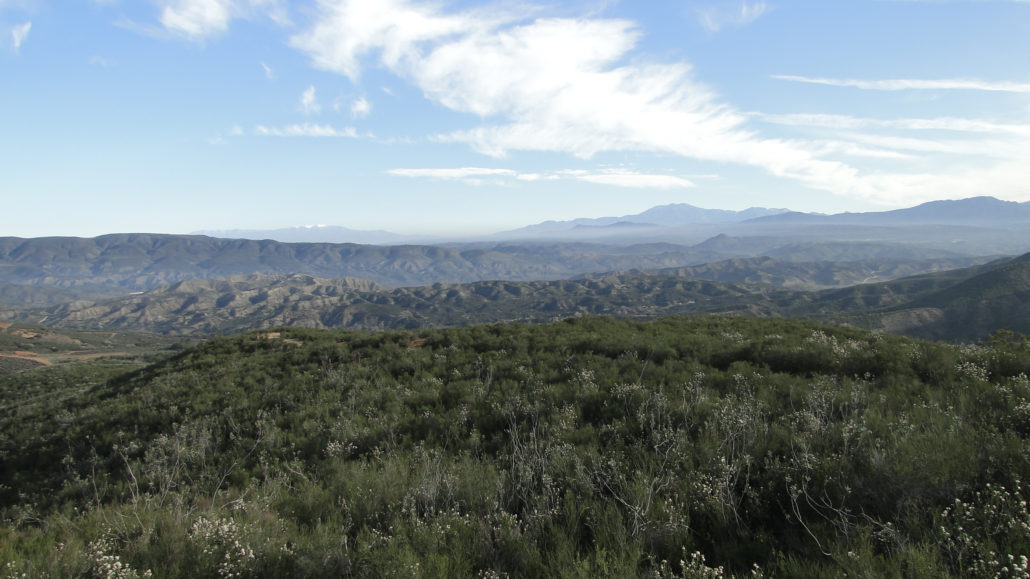
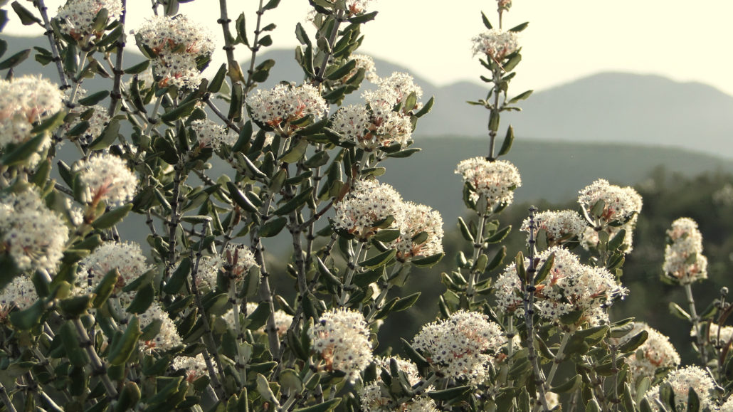
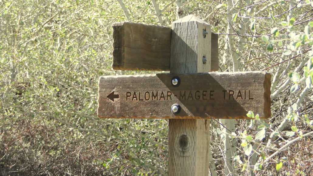
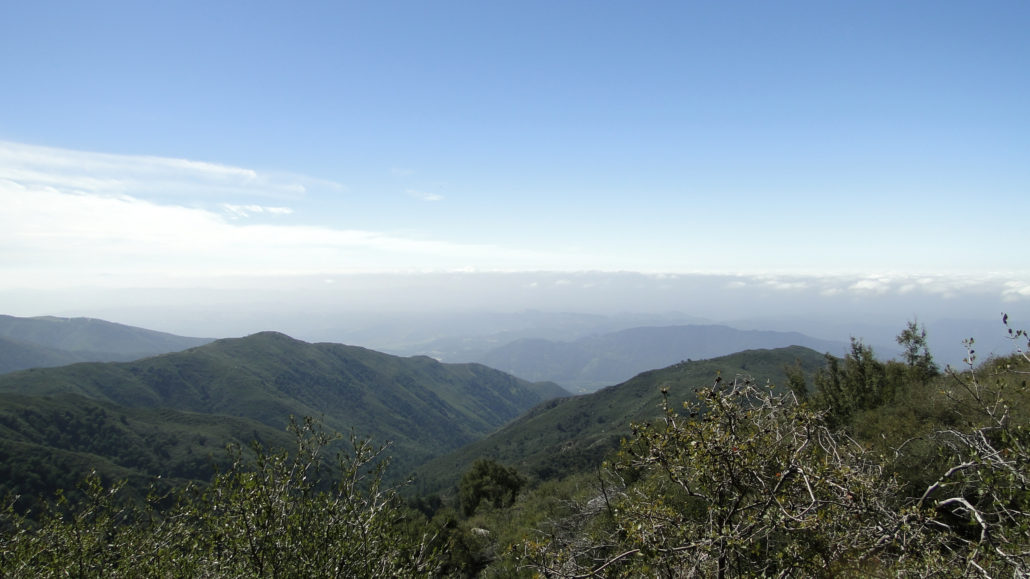
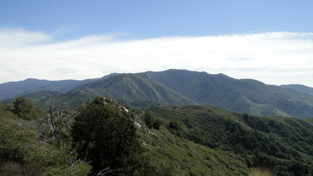
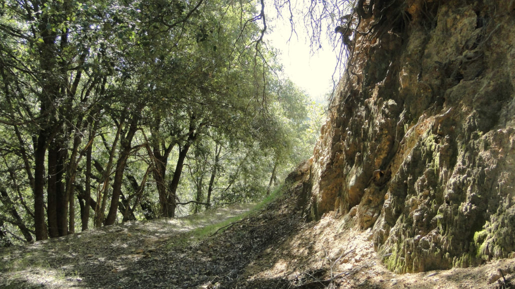
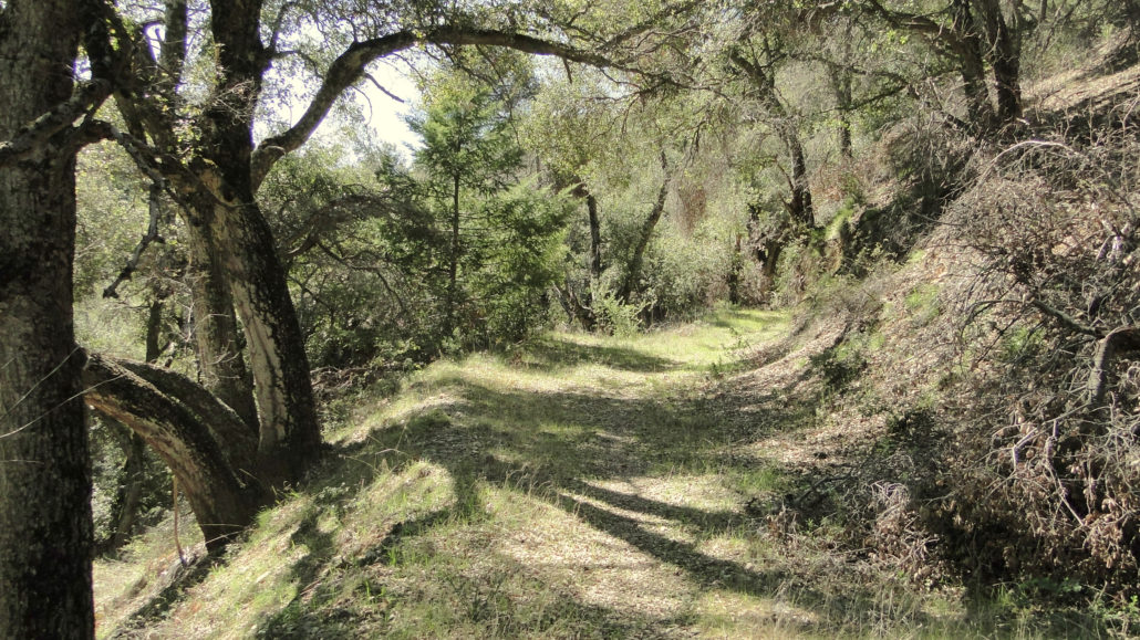
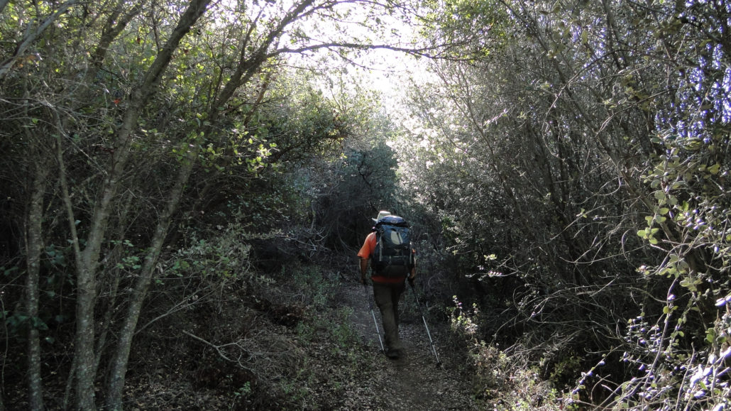
UPDATE 4/7/2020: Per recent intelligence from somebody who does regular trail maintenance on Magee-Palomar Road, most of the obstructing brush has been removed. However, there are a couple of downed trees that you will need to climb over. We’ve also received a substantial amount of rain since that report, and we’re also confined to our homes right now. So, it’s really anybody’s guess what condition Magee-Palomar Road will be in. The Agua Tibia Loop is one of three behemoth hikes in the Palomar District of Cleveland National Forest. The other two – Eagle Crag and High Point – occur nearby. Both Eagle Crag and Agua Tibia dip into the Agua Tibia Wilderness, which was the first and largest federal wilderness established in San Diego County. The full hike presented here is one of the most challenging and strenuous in San Diego. This write-up will provide three different options to enjoy this remote, rugged, and beautiful corner of the county. Mt. San Jacinto Agua Tibia Mountain occupies the northernmost block of the Palomar Mountain range. Agua Tibia is lower in elevation than the Palomar and Aguanga blocks, and it scrapes, but does not quite reach, 5,000’. The lower elevations ensure that this hike can be dangerously hot during the summer and should therefore be avoided out of season (from November to May). And unlike Palomar Mountain, the vegetation here is chaparral, with only a handful of Coulter pines and bigcone Douglas firs gracing the upper elevations. Mt. San Gorgonio The three options for this hike include taking the Dripping Springs Trail alone, either as a day hike or as an out-and-back backcountry camping trip; second, stopping at the campsite at the end of the Dripping Springs Trail for overnight camping and then continuing around the summit on Palomar Magee Road while returning down the Wild Horse Trail for a two day hike; and, third, if you’re a real glutton for punishment, completing the entire hike in one very long, very sweaty day. If you plan to camp, you will need to obtain a wilderness permit
Trail Stats
33.3 km
1158 m
1438 m
459 m
—
Photos
Trail photo
No caption provided.
Trail photo
No caption provided.
Trail photo
No caption provided.
Trail photo
No caption provided.
Trail photo
No caption provided.
Trail photo
No caption provided.
Trail photo
No caption provided.
Trail photo
No caption provided.
Trail photo
No caption provided.
Trail photo
No caption provided.
Trail photo
No caption provided.
Trail photo
No caption provided.
Trail photo
No caption provided.
Trail photo
No caption provided.
Trail photo
No caption provided.
Trail photo
No caption provided.
Trail photo
No caption provided.