8 min
Overview
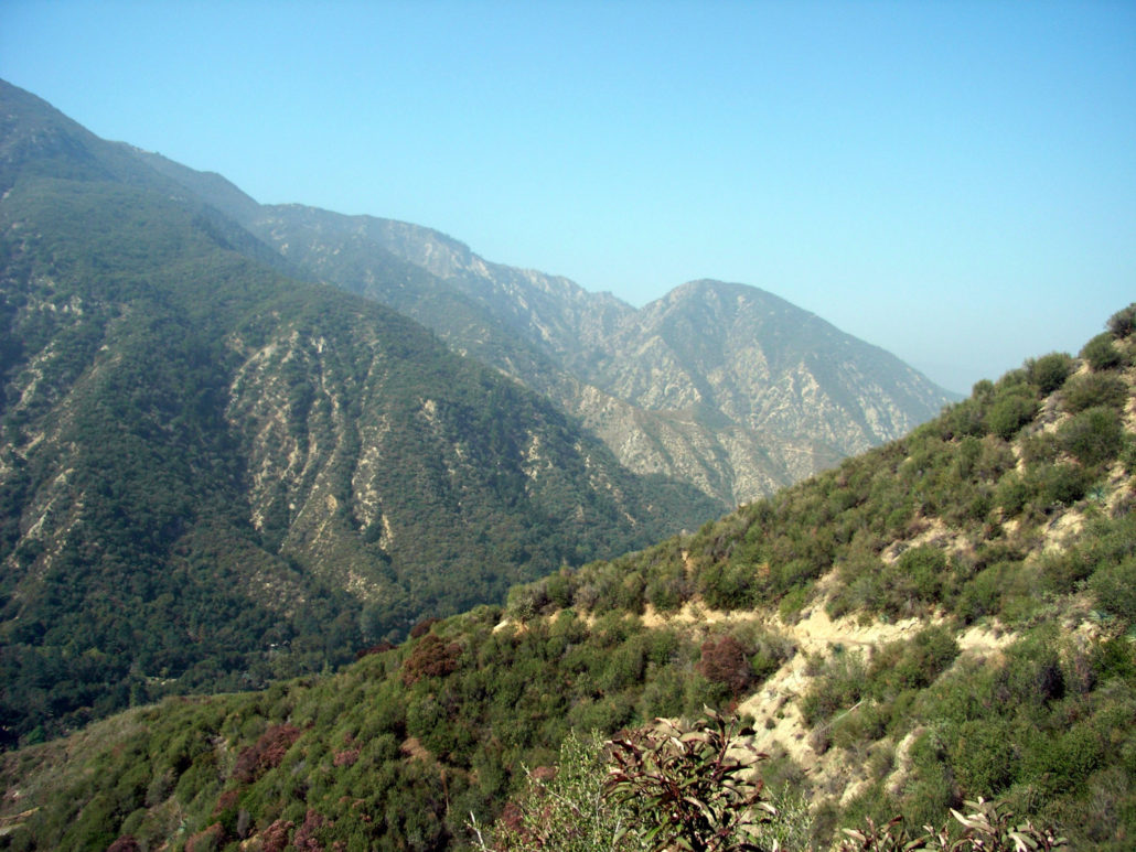
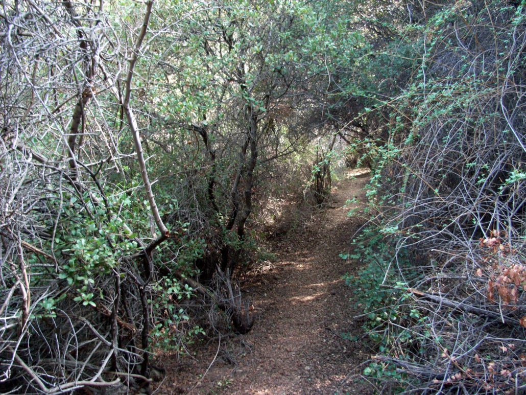
A long, strenuous hike to one of the more remote peaks in the western Angeles National Forest. A great cool-weather route with some challenging sections of scrambling, this hike is an exercise in mental drive — and offers pure seclusion and solitude amid the mountains for those willing to make the effort. NOTE: This trail was heavily damaged in the Station Fire but has been reopened as of May 24, 2012. Trail conditions may have changed significantly from the following write-up. A little while back, I hiked Trail Canyon to Condor Peak, with the hopes of adding a few extra miles to the trip and bagging Fox Mountain, too. Unfortunately, after hiking 8 miles in hot weather, we didn’t think we had it in us to bag another peak and make it out in anything resembling decent shape. This week, I decided to give it a go from another angle. From the various guide books and forum postings I’d read about Fox Mountain, the trailhead seemed difficult to find. Upon arriving in the area I can now say that yes, this trailhead IS pretty difficult to find. After a short peek over the side of a small canyon – no luck – I finally stumbled on what I thought, maybe, was possibly the trailhead — a rough clearing in the brush by the side of the road. A quick look inside and I spotted a very clear, very established trail that’s otherwise completely hidden. From the road, this is what you’re looking for: So you can see how easy it is to miss this thing. As the directions I read – both in books and online – were pretty unclear, let me do the honors of being accurate. If you’re coming here from the west, park at one of the small dirt lots near the intersection with Vogel Flats Road. Stick to the north side of the road and walk up around a small bend. The 4.50 Marker and trailhead will be on your left. If you’re coming from the east, the the trailhead is to the immediate right of this sign: What looks like a drainage ditch is actually the trail, and once you get on it you’ll be completely surrounded by brush and fragrant chaparral. Enjoy it.
Trail Stats
19.5 km
913 m
1482 m
607 m
—
Photos
Trail photo
No caption provided.
Trail photo
No caption provided.
Trail photo
No caption provided.
Trail photo
No caption provided.
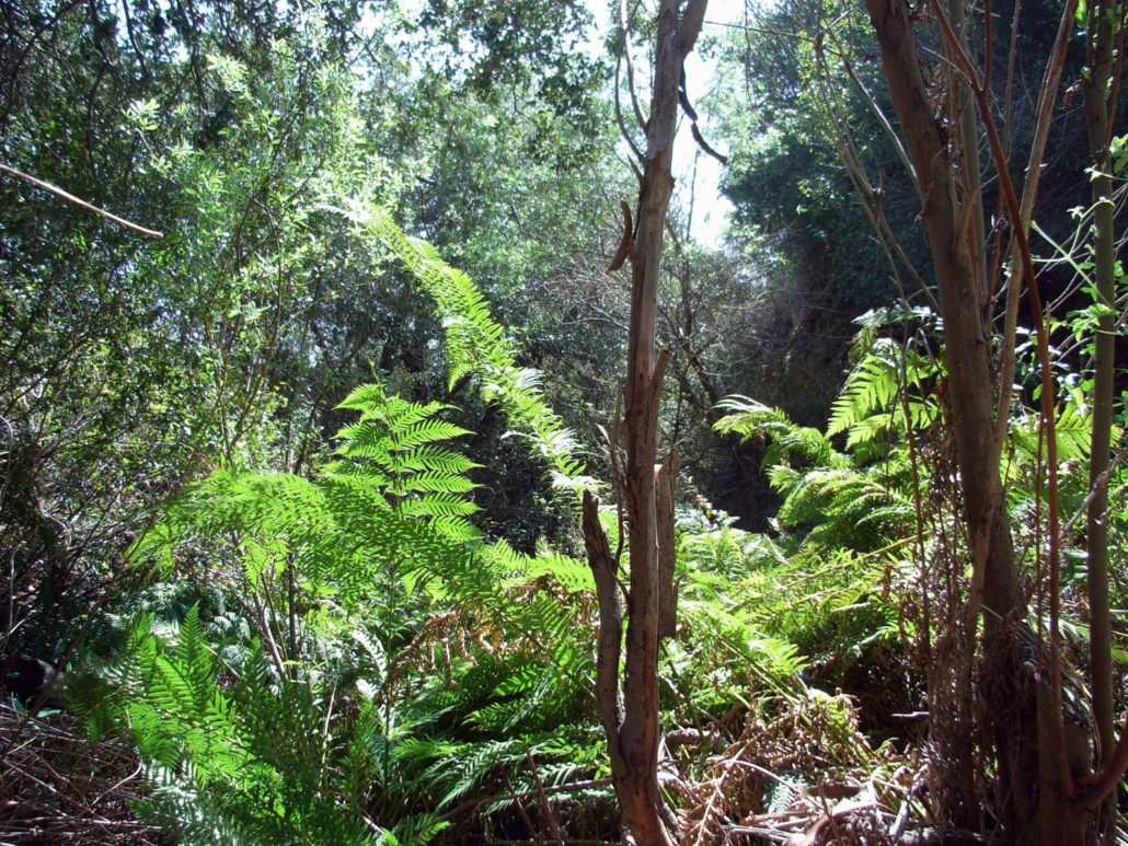
Trail photo
No caption provided.
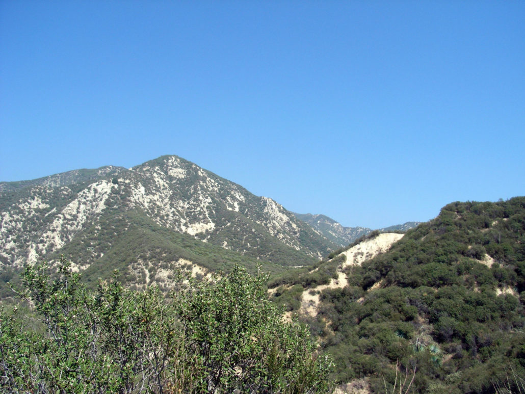
Trail photo
No caption provided.
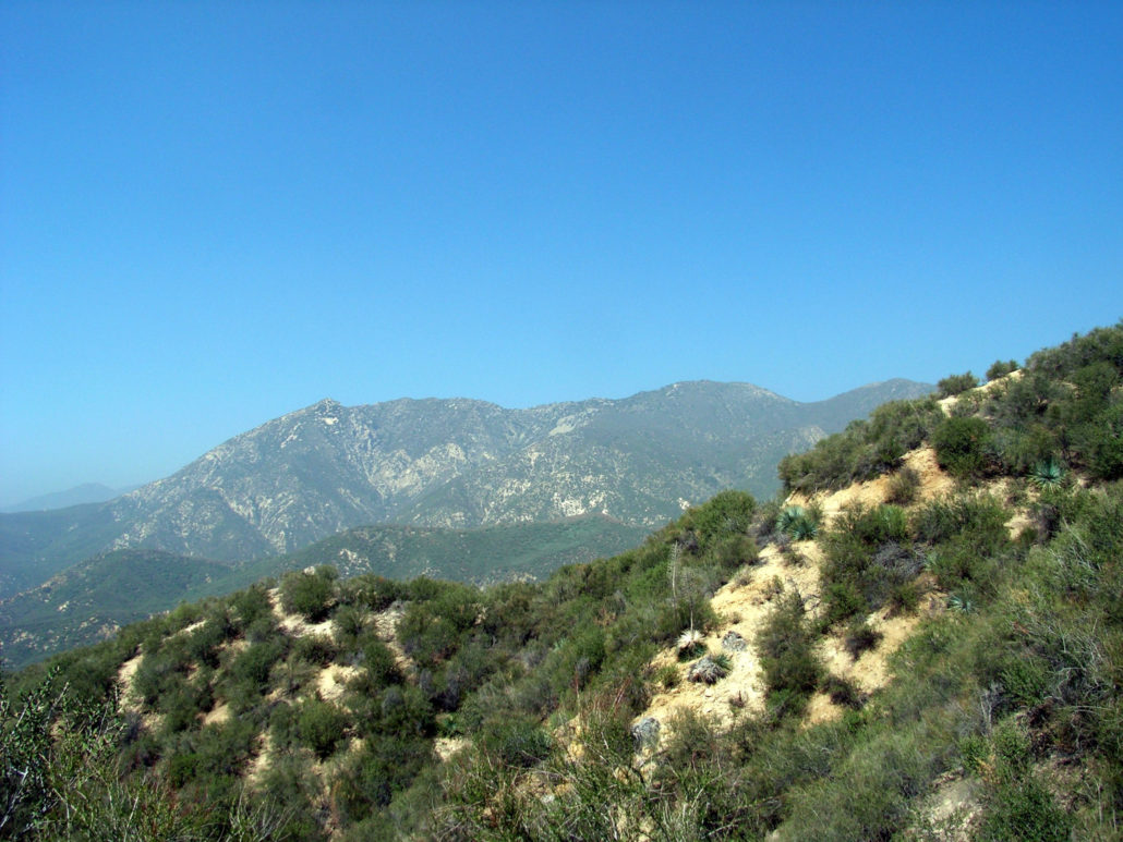
Trail photo
No caption provided.
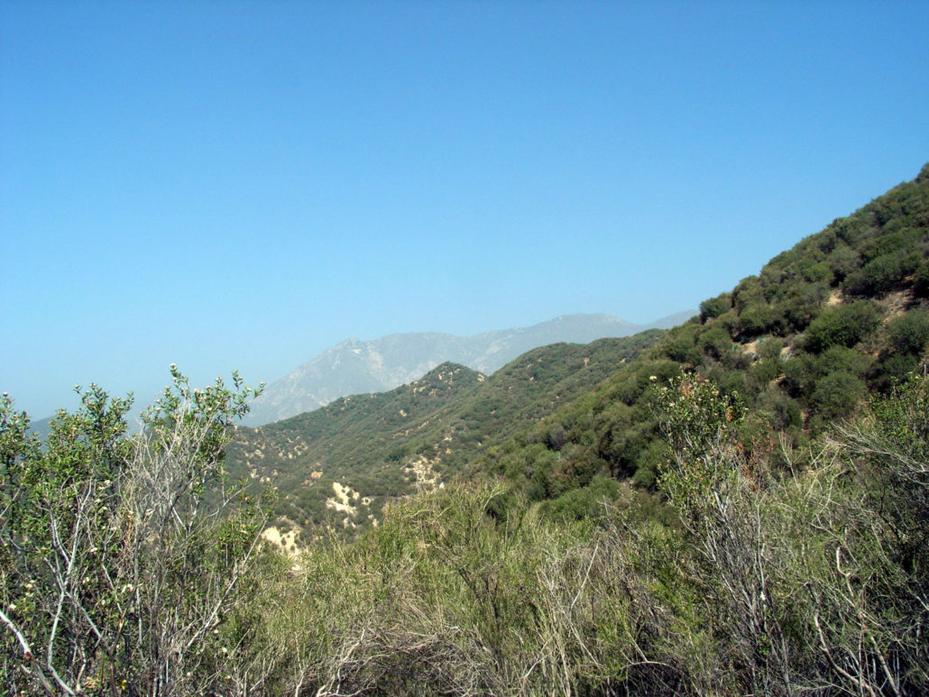
Trail photo
No caption provided.
Trail photo
No caption provided.
Trail photo
No caption provided.