7 min
Overview
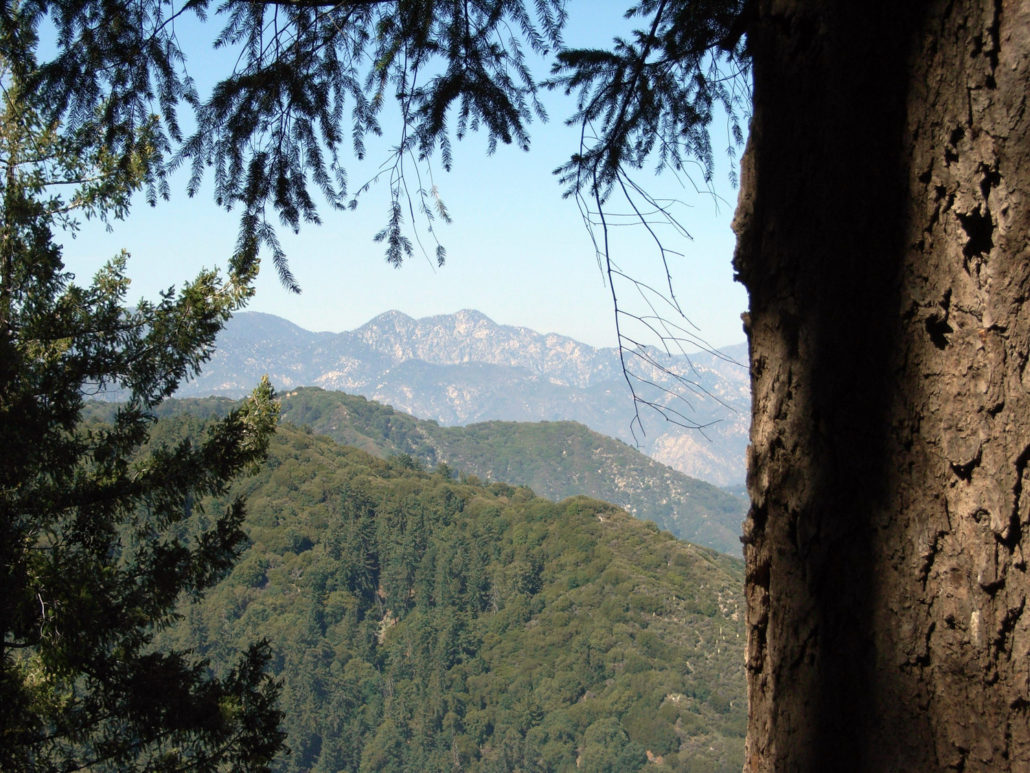
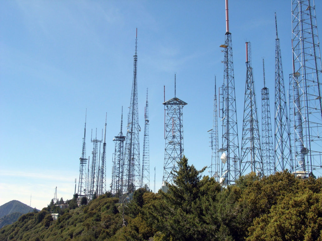
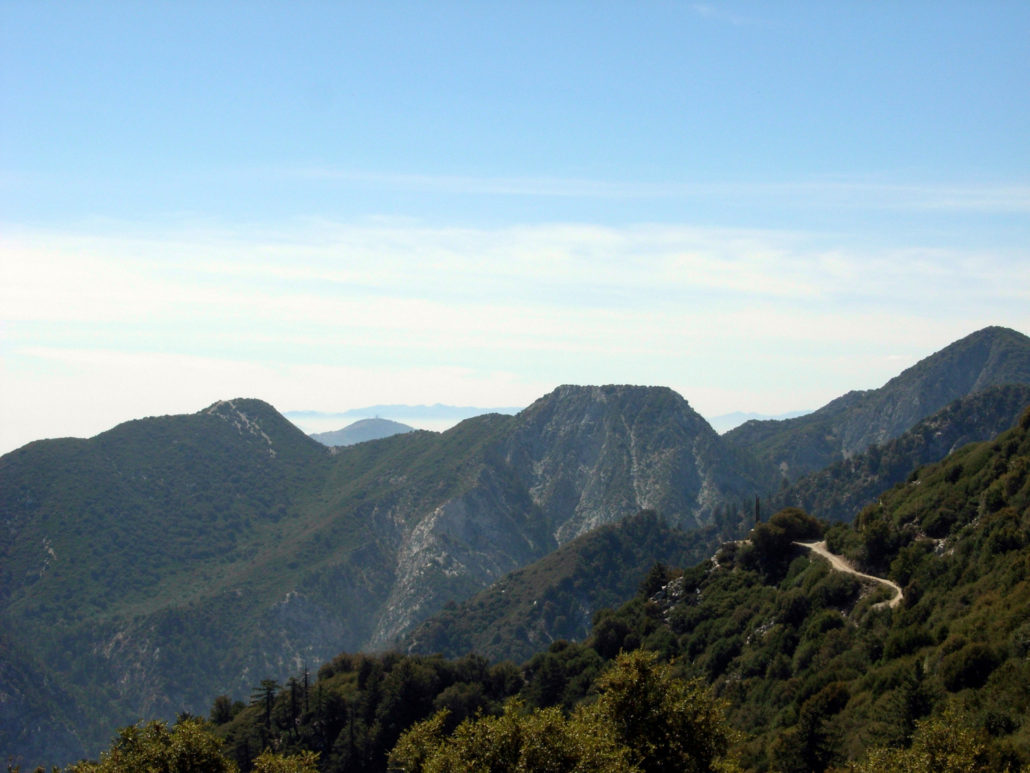
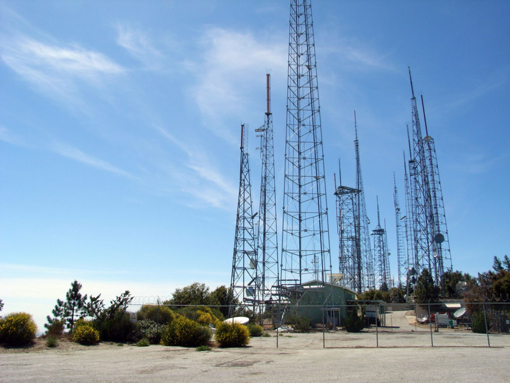
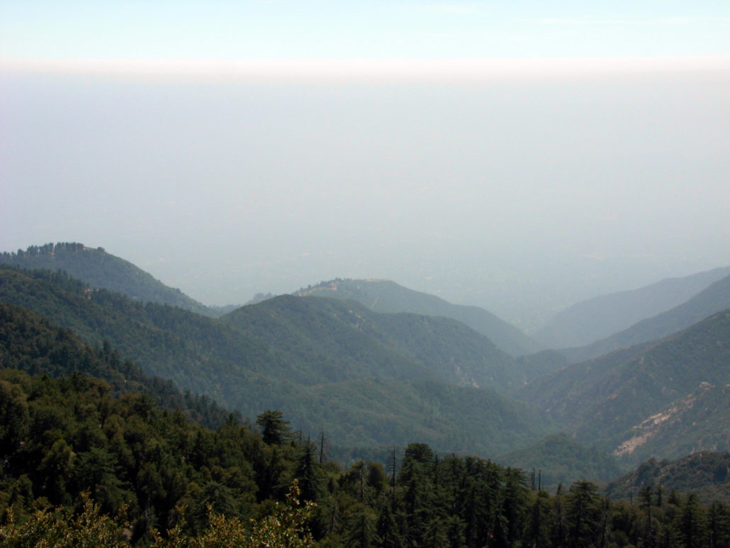
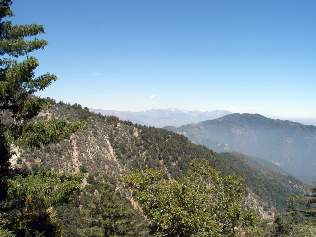
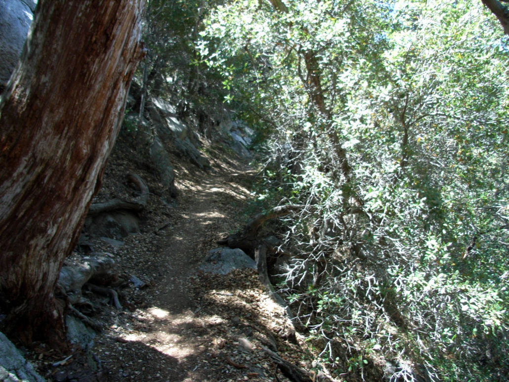
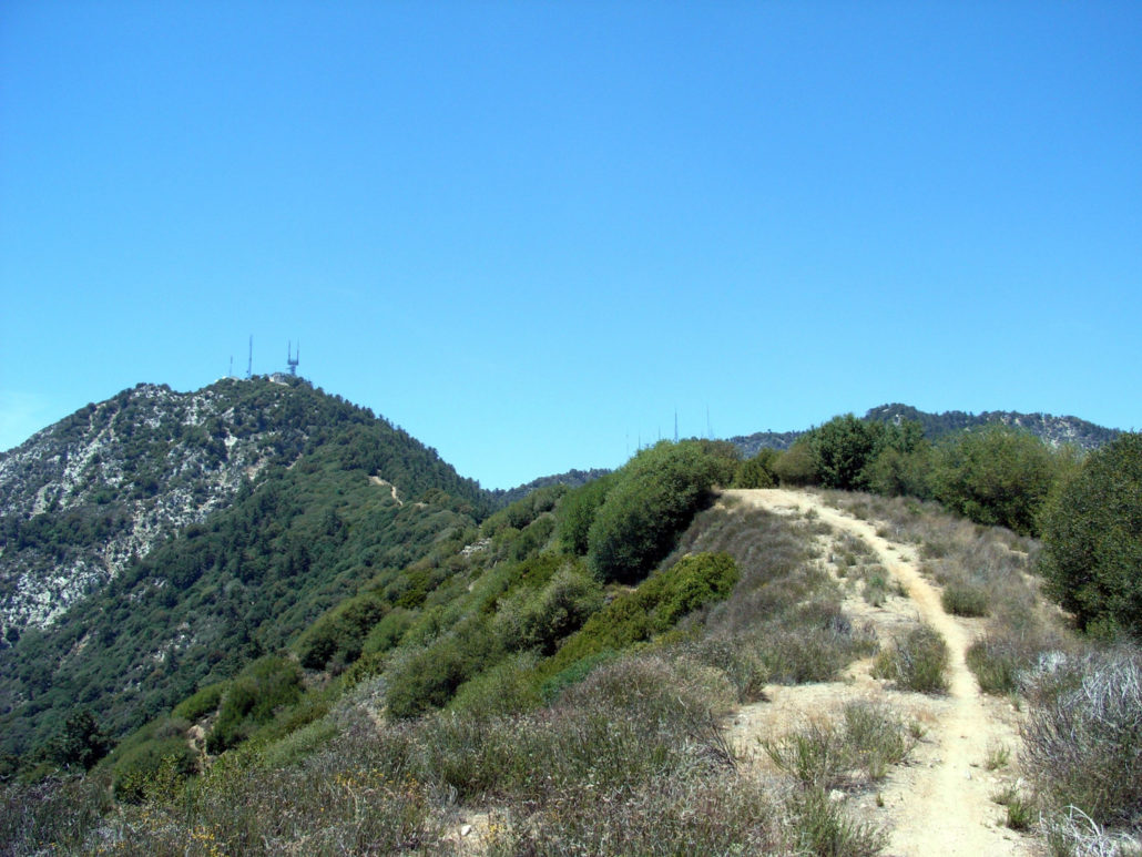
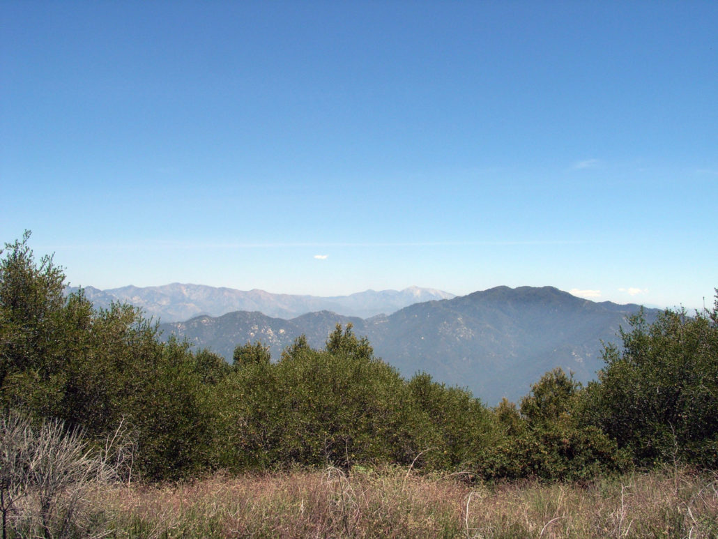
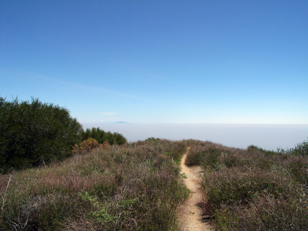
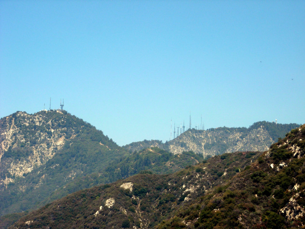
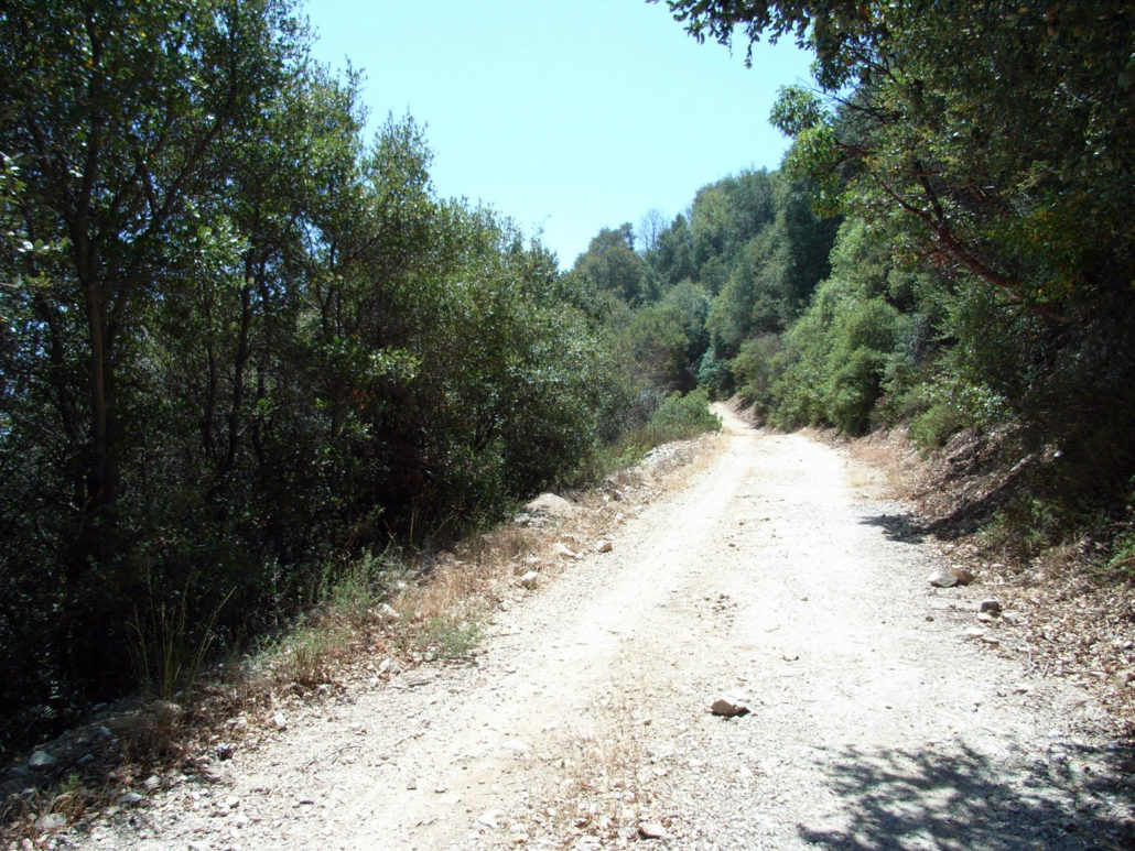
A 13 mile, strenuous partial loop to Mount Wilson — a not-very-well-known route to the one of Southern California’s most well-known peaks, with a wide range of Southern California geography. This leg-busting, bush-whacking route is just one of the 5 Sierra Club-recognized summit paths to Mount Wilson. There are more ways to climb this mountain than any other in the San Gabriels. Mount Wilson is a mountain that almost everyone in Southern California knows. Not for its scientific importance or geography (although the mountain’s observatories were home to several groundbreaking scientific discoveries), but because just about every single radio or television station in the Southland has a of tower set up on top of it. To hikers, it’s that big mountain the middle of the front range that we skip because cars can drive right to the summit. There’s nothing worse than sweating your arse off for 4 hours to get to the top of a mountain and seeing a minivan full of kids with ice cream pull up, make a lot of noise, litter and leave. This is a trail where the old saying “it’s the journey, not the destination” rings very true – this route is full of leg-busting ascents, thick forests, epic mountain ridges, and idyllic streamside camp sites. It just happens to end at a peak with a parking lot. It also starts at a rather busy parking lot at Chantry Flat. This is the same trailhead for the popular hikes in the Santa Anita Canyon, so be sure to arrive early – especially if you’re hiking on the weekend. I usually have to circle a few times before giving up and paying to park at the Adams’ Pack Station, but on this day I lucked out and nabbed a National Forest land spot. I packed up and headed up past the picnic areas to a small paved road. Signs here point toward the Winter Creek Trail, and it’s very easy to spot if you stick to San Olene Road. This road crawls up the slope in a series of long switchbacks and there is a series of use-trails that cut through them on a more direct ascent. Stick to the road or take the use-trails – b
Trail Stats
20.9 km
1080 m
1737 m
660 m
—
Photos
Trail photo
No caption provided.

Trail photo
No caption provided.
Trail photo
No caption provided.
Trail photo
No caption provided.
Trail photo
No caption provided.
Trail photo
No caption provided.

Trail photo
No caption provided.
Trail photo
No caption provided.
Trail photo
No caption provided.
Trail photo
No caption provided.
Trail photo
No caption provided.
Trail photo
No caption provided.
Trail photo
No caption provided.
Trail photo
No caption provided.
Trail photo
No caption provided.
Trail photo
No caption provided.
Trail photo
No caption provided.
Trail photo
No caption provided.