6 min
Overview
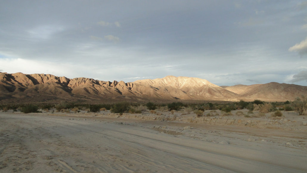
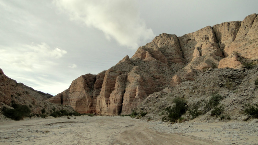
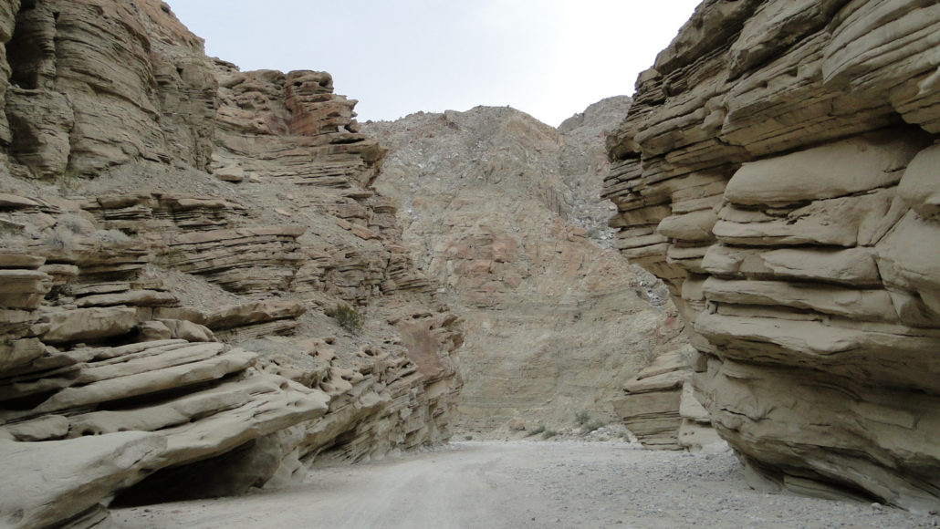
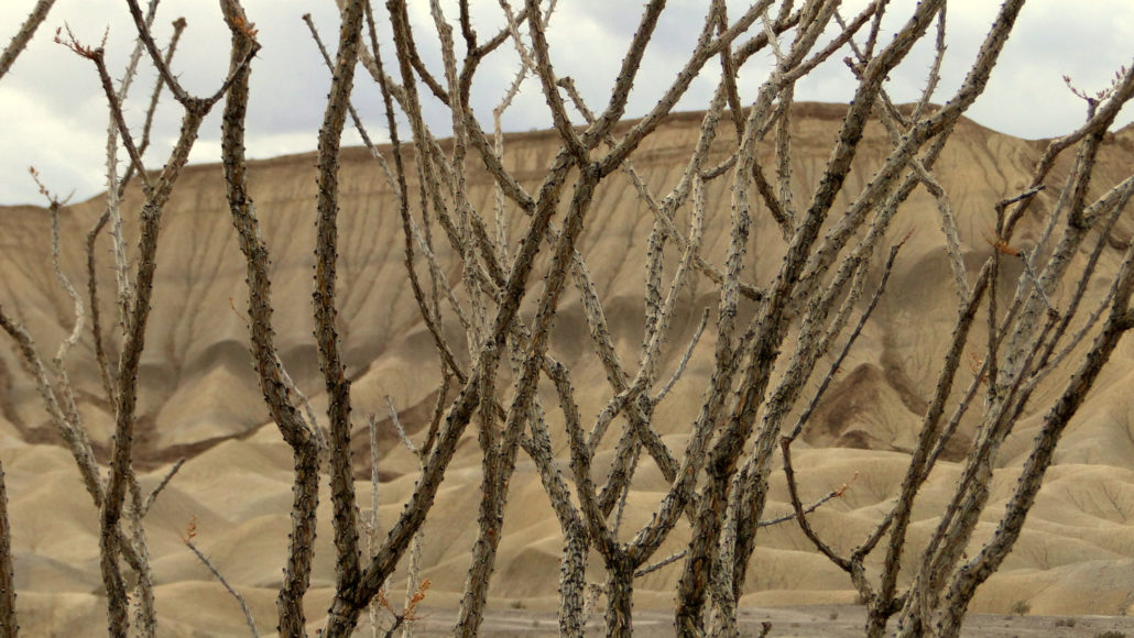
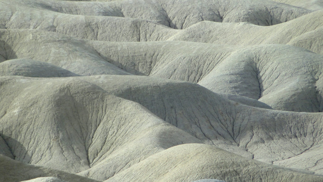
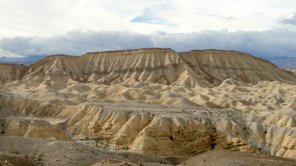
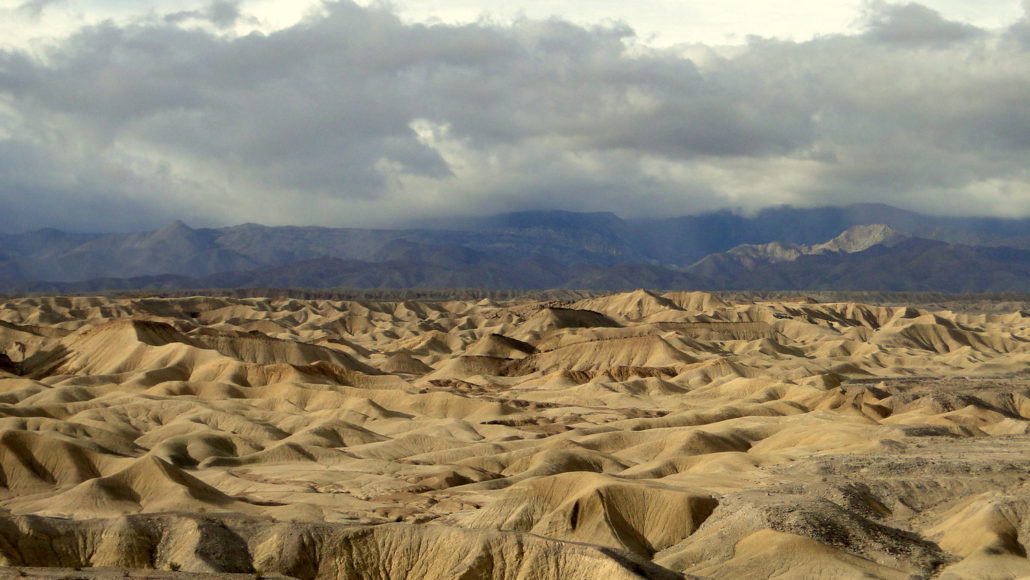
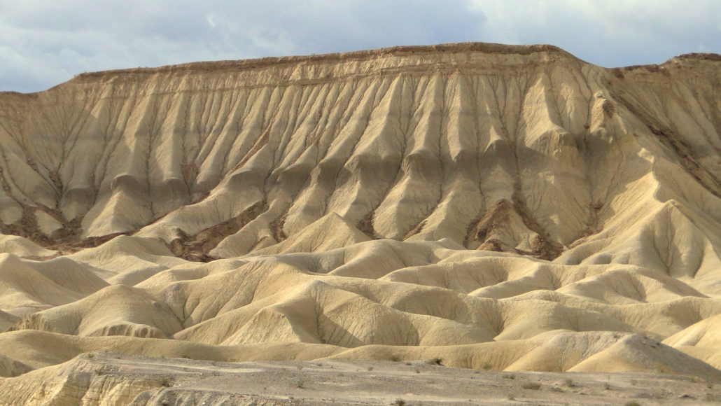
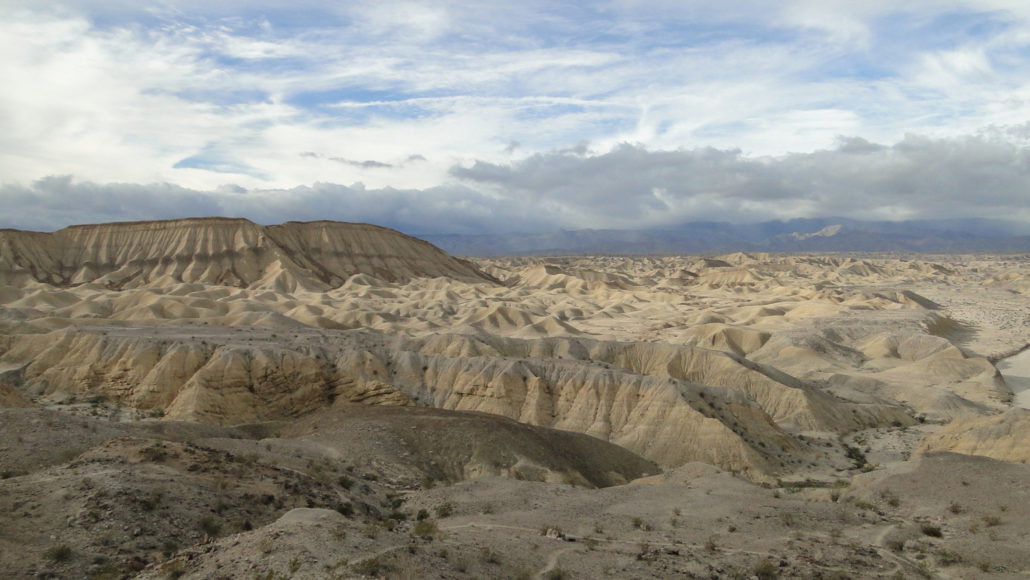
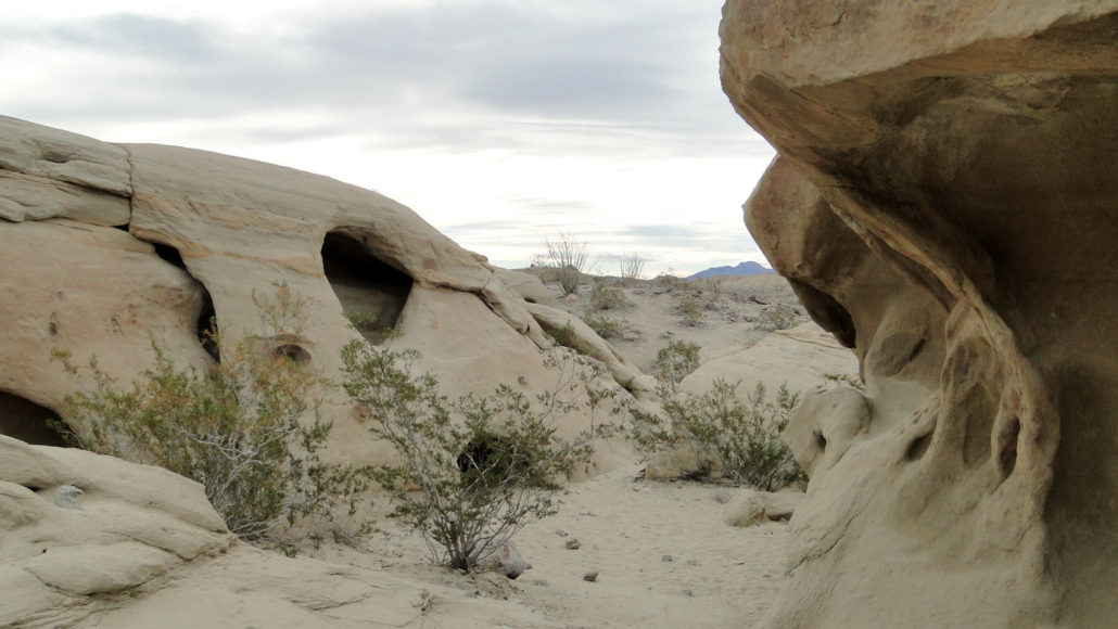
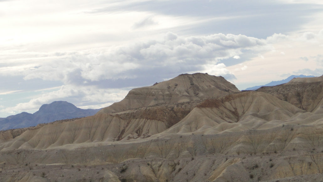
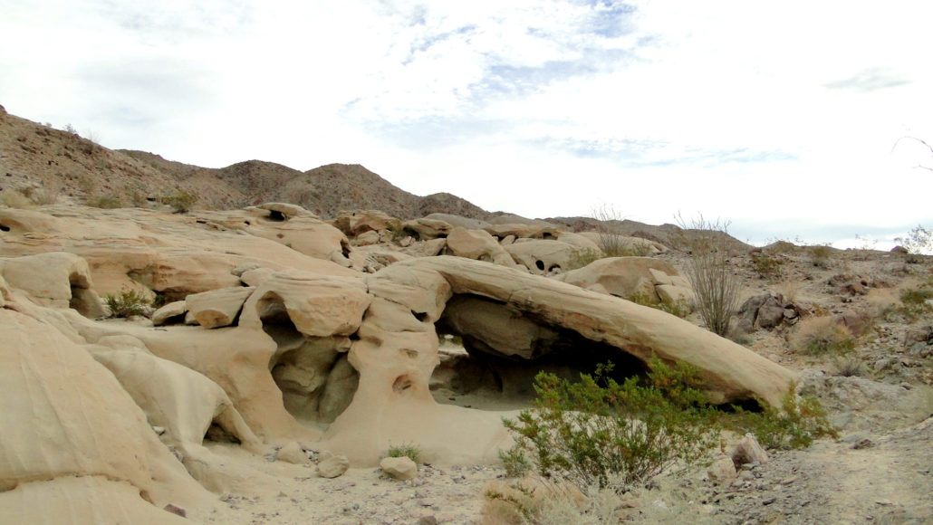
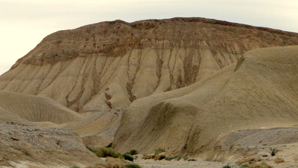
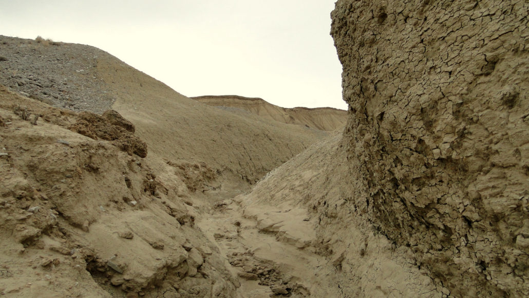
With countless geological oddities including mud hills, wind caves, synclines, anticlines, and a deep cut straight through a mountain range, the Split Mountain/Fish Creek Wash region of Anza-Borrego Desert State Park is a geologist’s dream. Even those with only a casual interest in geology will find no shortage of fascination on this varied hike, which visits everything mentioned above and more. Mud Hills This hike travels into the eastern corner of the Carrizo Badlands, a rumpled and corrugated landscape that contains some of the most famous and popular features in Anza-Borrego Desert, including Arroyo Tapiado and the Mud Caves. The landscape you will travel through was once the bottom of a huge inland sea that retreated and expanded along with vacillations in the climate. This sea left behind a thick layer of muddy sediment, which eventually “solidified” into the soft, crumbling hills that characterized this region. These seas also left behind layers of ancient reef beds, which fossilized into hard limestone formations. Ocotillo Rain and wind erosion removed the edges on the rock, creating the smooth, rounded forms spreading out for miles and miles to the west. Storm runoff carved out a maze of washes and channels that one could wander through (and potentially get lost in) for days. In the places where the harder, erosion-resistant fossilized reef beds remain, the underlying mud layers erode rapidly except where capped by fossils. This arrangement of a hard cap of rock atop a softer layer of rock has resulted in the beautifully eroded Elephant Knees formation. Fish Creek Wash Getting to this point, however, is its own geological odyssey. To reach the mud hills, you must first pass through Split Mountain. At Split Mountain, Fish Creek Wash cuts directly through a mountain range, separating the Vallecito Mountains from the southern Fish Creek Mountains. This occurred as the waters of the now-vanished Fish Creek progressively cut through the rock in the mountain as the mountain rose gradually due to fault actio
Trail Stats
17.4 km
243 m
0 m
0 m
—
Photos
Trail photo
No caption provided.
Trail photo
No caption provided.
Trail photo
No caption provided.
Trail photo
No caption provided.
Trail photo
No caption provided.
Trail photo
No caption provided.
Trail photo
No caption provided.
Trail photo
No caption provided.
Trail photo
No caption provided.
Trail photo
No caption provided.
Trail photo
No caption provided.
Trail photo
No caption provided.
Trail photo
No caption provided.
Trail photo
No caption provided.
Trail photo
No caption provided.