5 min
Overview
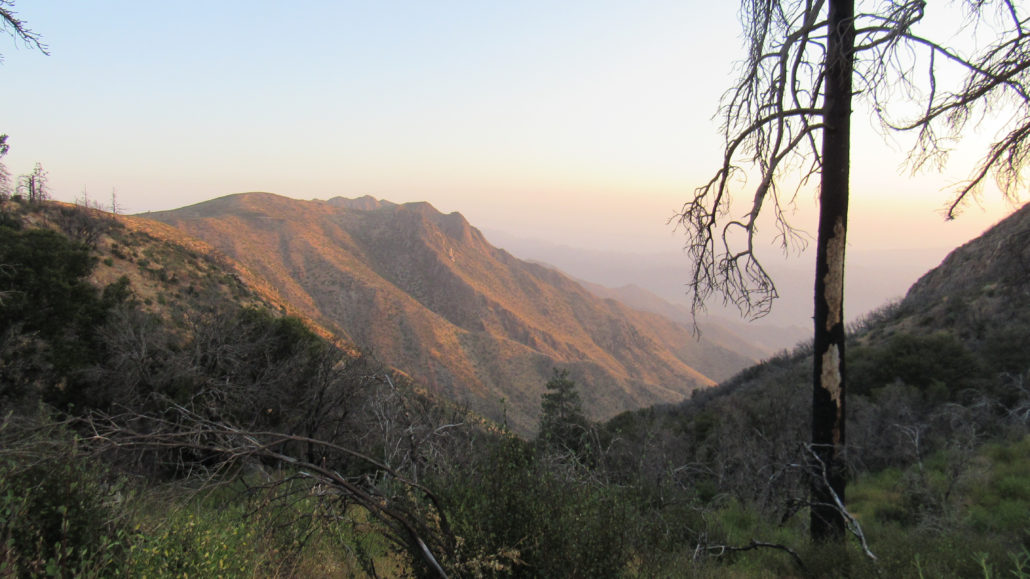
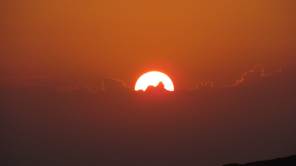
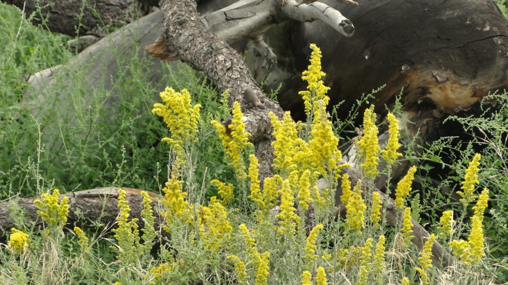
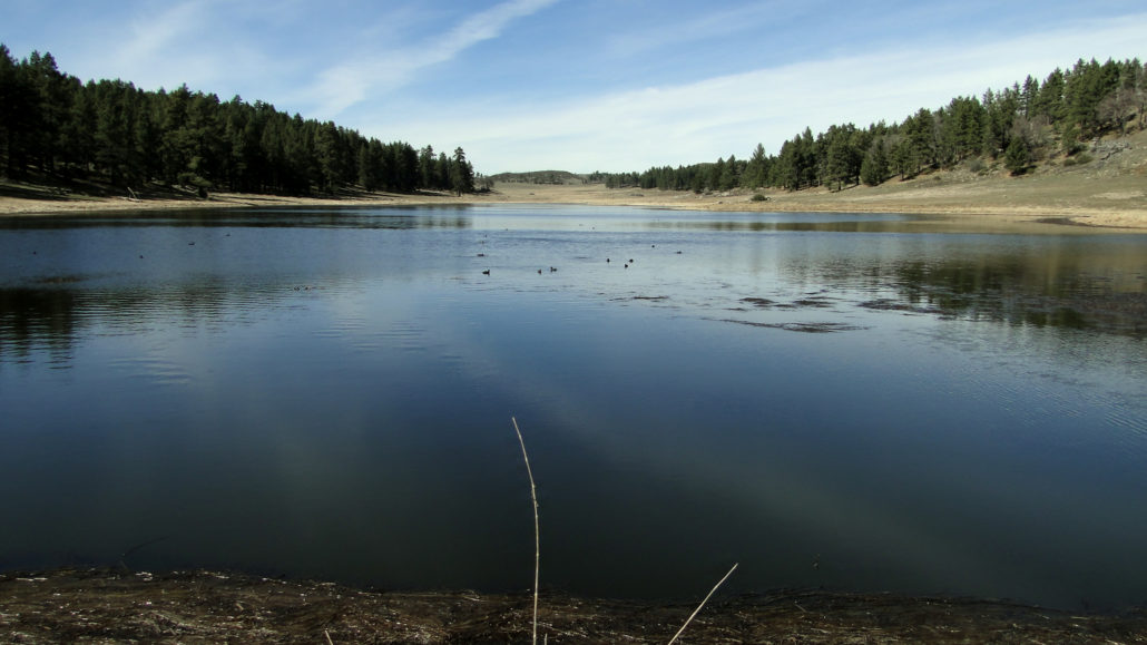
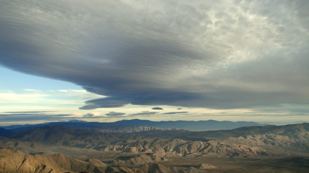
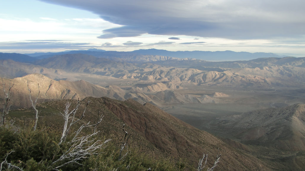
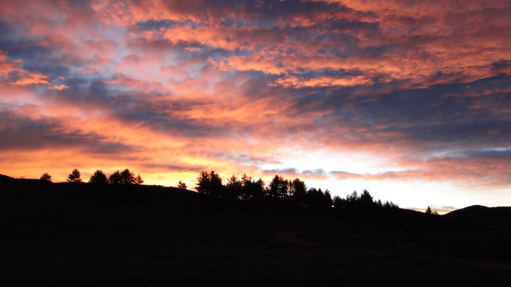
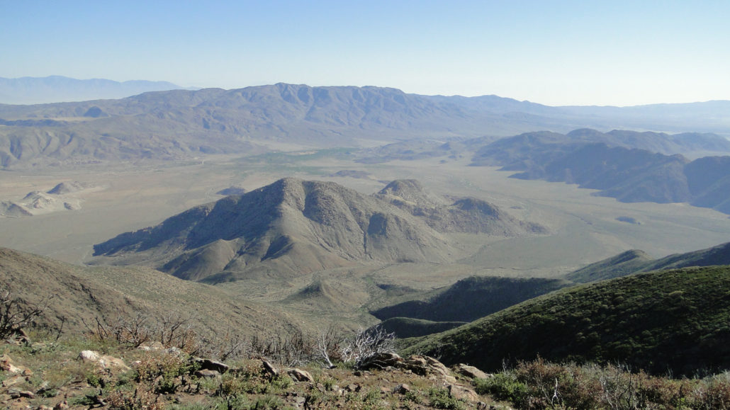
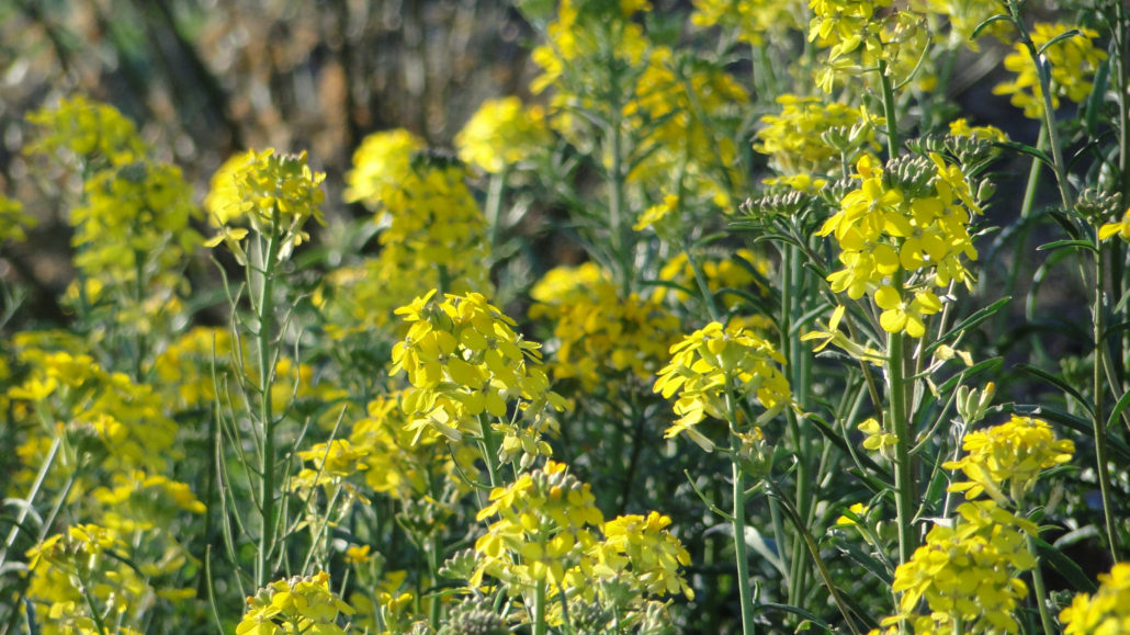
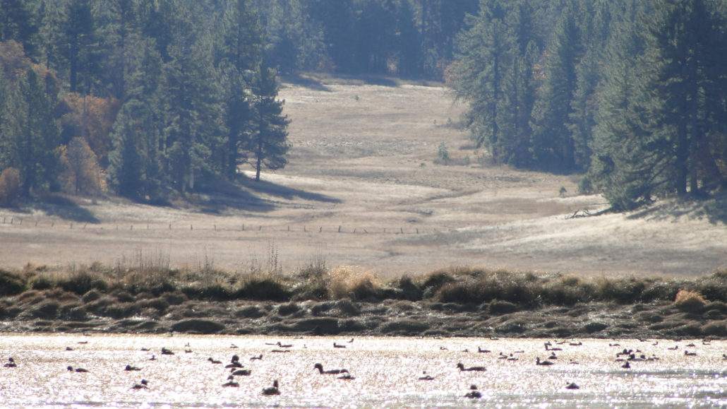
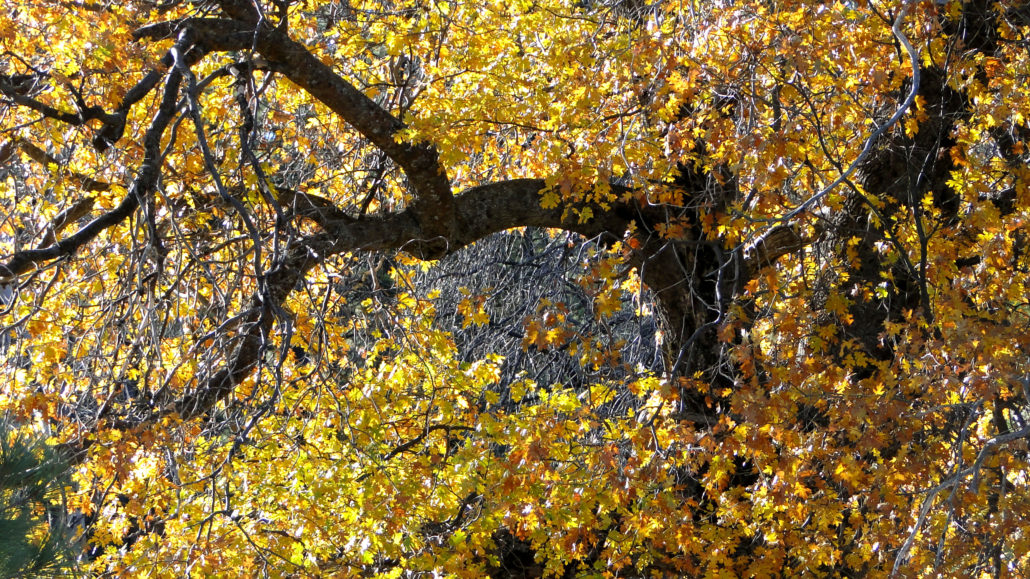
From the tip of Baja California to the tectonic collision that gave birth to Mt. San Gorgonio and Mt. San Jacinto, the Peninsular Ranges provide some of the most startling contrasts and expansive views anywhere south of the Sierra Nevadas. This chain of ranges includes (from north to south) the San Jacinto, Santa Rosa, San Ysidro, Santa Ana, Palomar, Volcan, Cuyamaca, and Laguna Mountains. The contrasts and views present in these ranges are a product of their north to south alignments, which allows them to catch incoming Pacific Storms and milk them dry. On the west sides lay relatively verdant Riverside, Orange, and San Diego Counties and their millions of people. On the east sides are Southern California’s deserts, including the Coachella Valley and Anza-Borrego Desert. The Laguna Mountains, a relatively dry range east of the Cuyamacas, offers a fine example of the stark contrasts present in this long line of mountains. Sunrise from Laguna Meadow The Big Laguna Trail (herein referred to as the BLT) and the Pacific Crest Trail (herein referred to as the PCT) complete a 10 mile loop around the Laguna Mountain Recreation Area, which is governed by the National Forest Service. The PCT runs along the eastern crest of the Lagunas for four miles while hugging the Laguna Escarpment, which drops precipitously to the desert floor 3,000’ below. After connecting with the main BLT network, the remainder of the trail traverses oak and pine woodlands and forests, a vast meadow, and a lake, which seem out of place in San Diego’s semi-arid backcountry. The multiple ecotones on display on the BLT provide a great example of San Diego’s rich biodiversity. Wallflowers on the PCT Until about 170 years ago, the Laguna Mountains had been occupied by the Kumeyaay Indians for over 9,000 years. The ready availability of food from prodigious acorn crops and wildlife, in addition to reliable water sources made Mt. Laguna an important summer and fall residence for indian tribes. These tribes would summer in the mountains, collect food in
Trail Stats
18.4 km
304 m
1838 m
1622 m
—
Photos
Trail photo
No caption provided.
Trail photo
No caption provided.
Trail photo
No caption provided.
Trail photo
No caption provided.

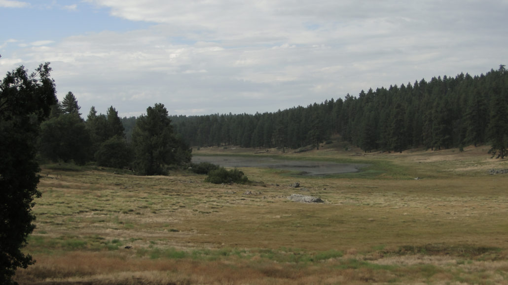
pine trees and a field on the big laguna trail
pine trees and a field on the big laguna trail
Trail photo
No caption provided.
Trail photo
No caption provided.
Trail photo
No caption provided.
Trail photo
No caption provided.
Trail photo
No caption provided.
Trail photo
No caption provided.
Trail photo
No caption provided.
Trail photo
No caption provided.