5 min
Overview
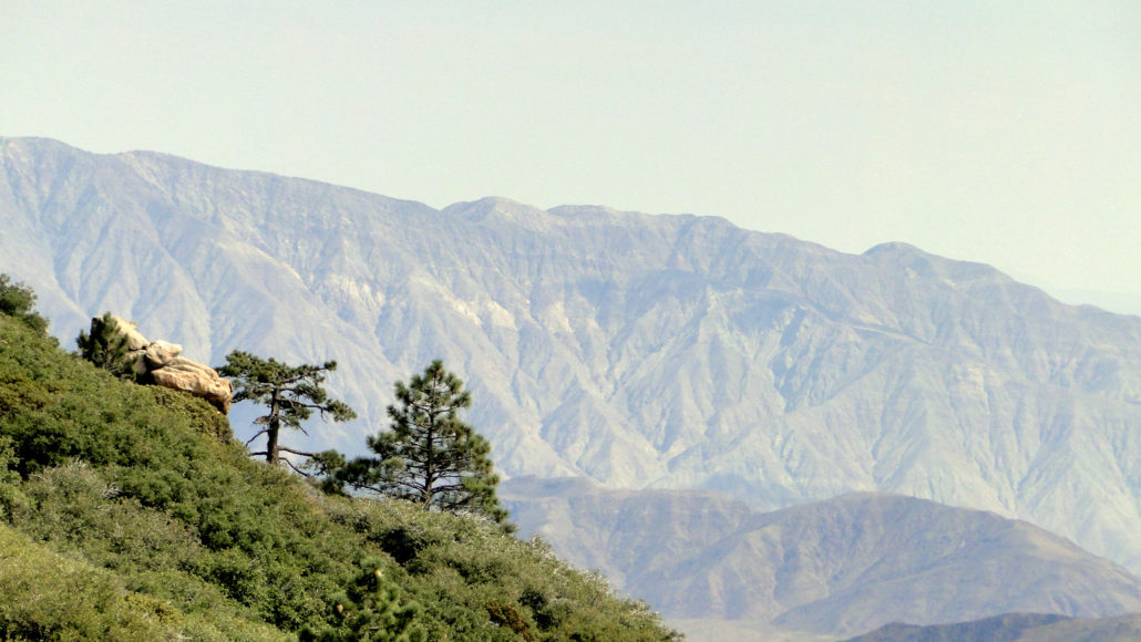
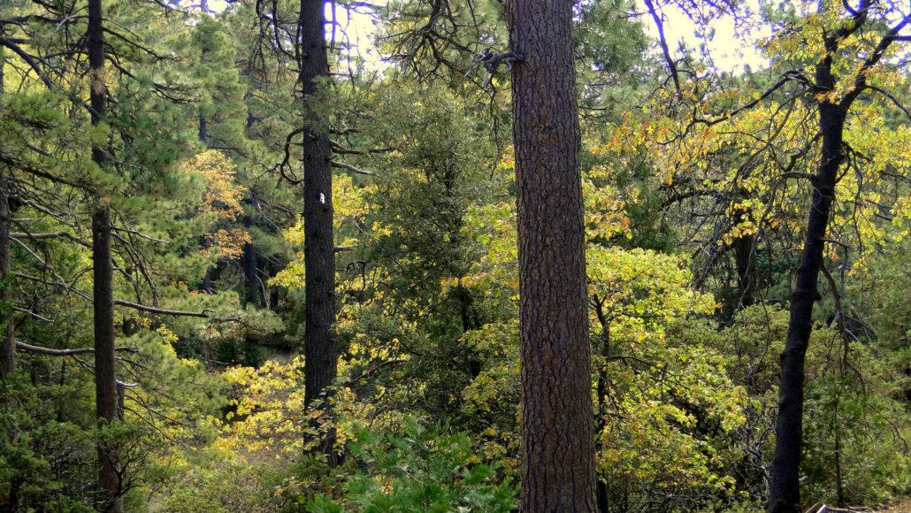
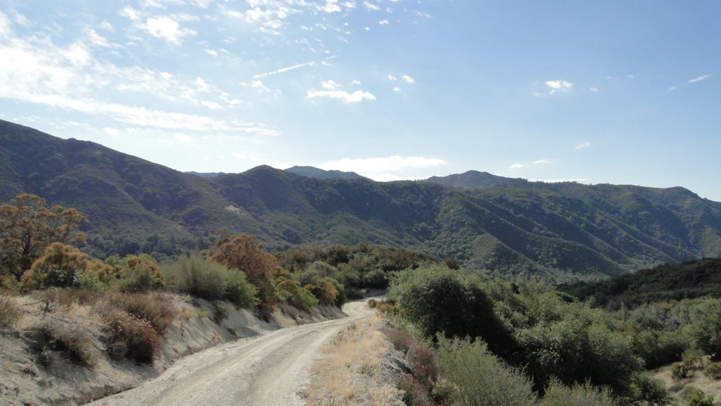
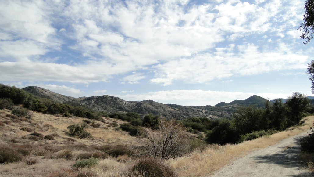
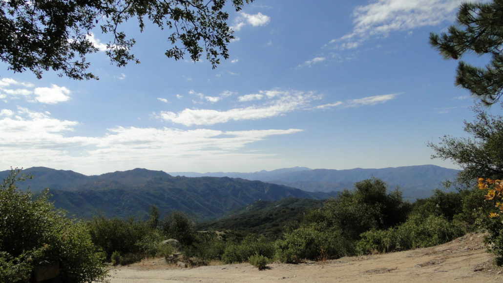
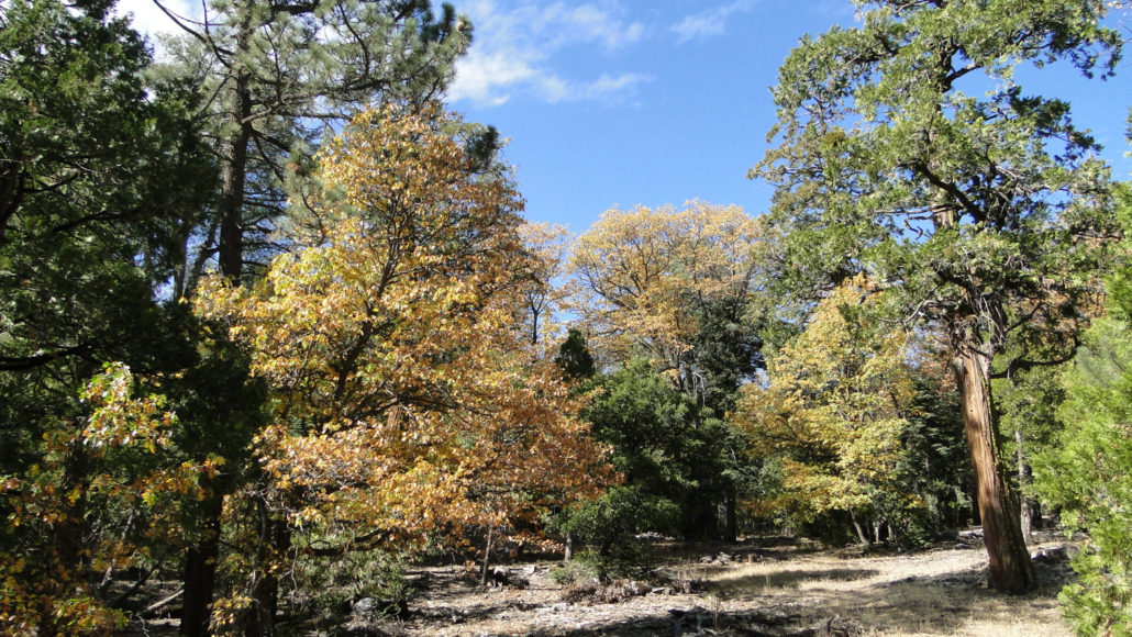
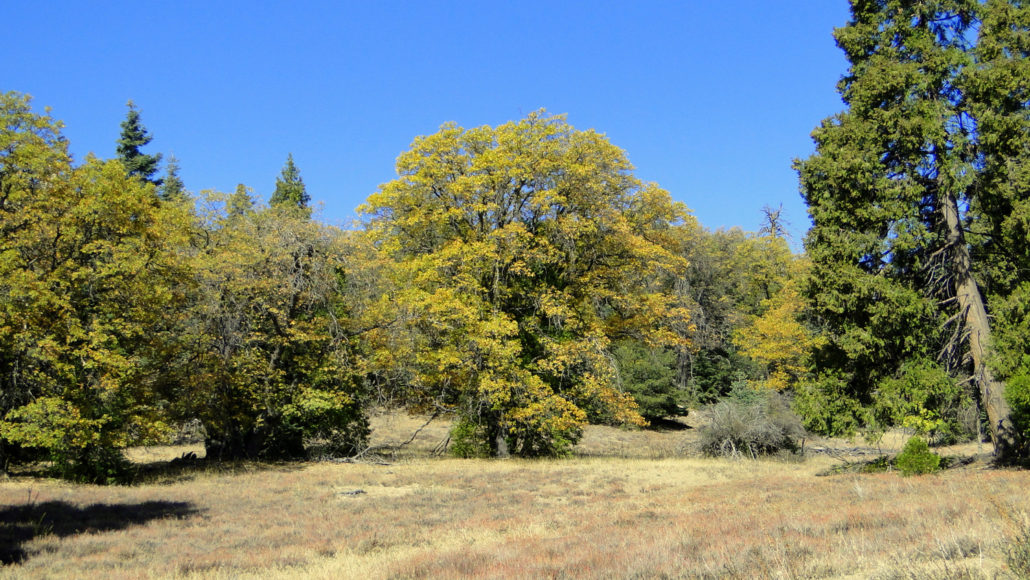
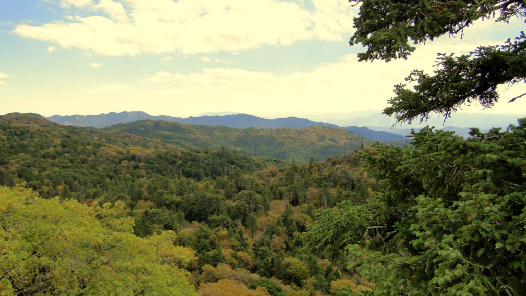
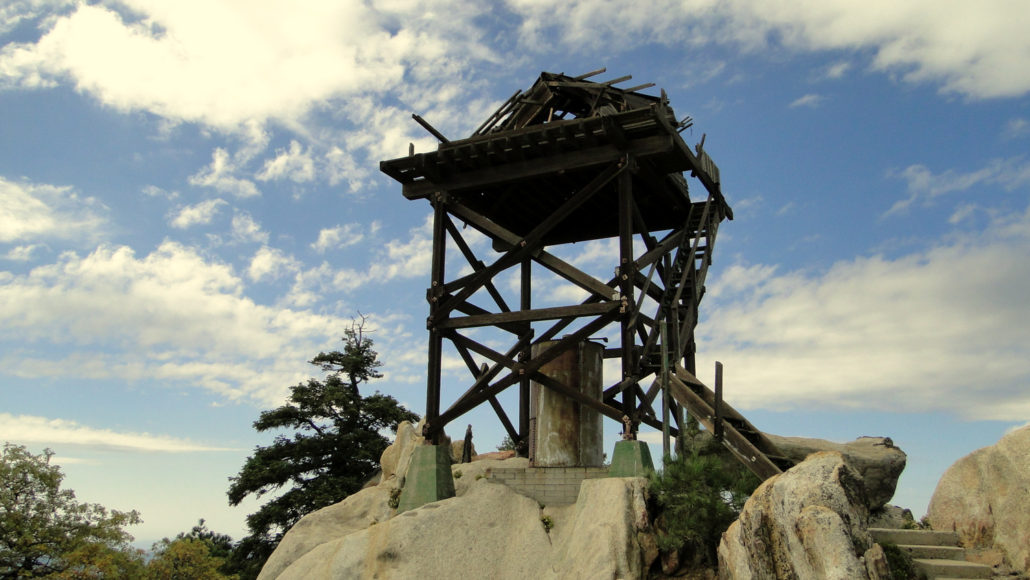
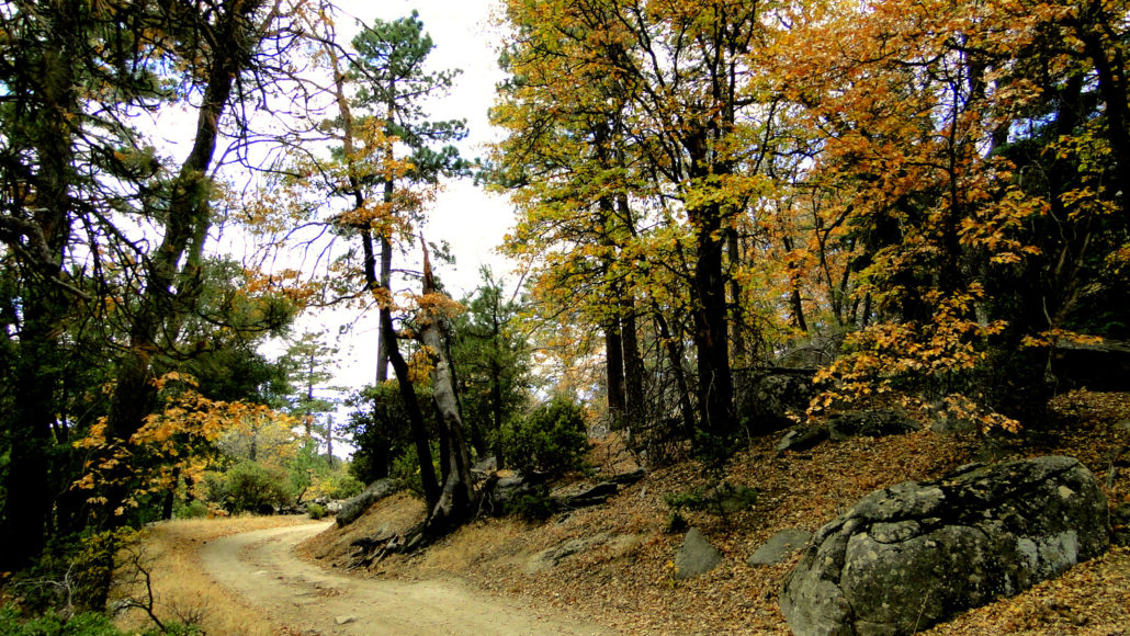
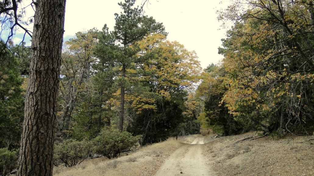
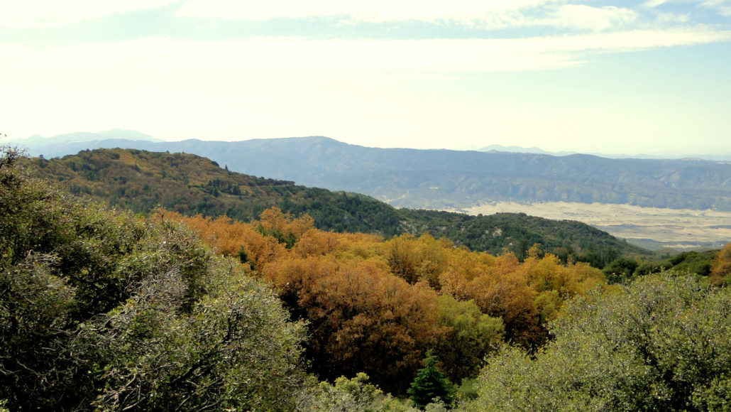
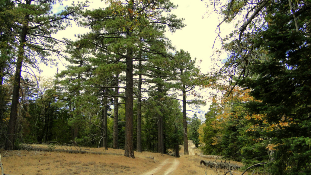
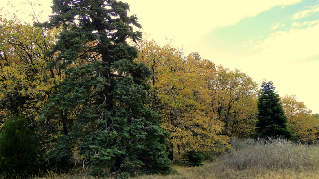
In a wild and lonely corner of the Los Coyotes Reservation you will find the highest point in San Diego County. Hot Springs Mountain, which stands about 20′ higher than Cuyamaca Peak, boasts the stunning views you would expect from a 6,533′ mountain smack dab in the center of the Peninsular Ranges. Beyond those views, the mountain’s elevation supports a dense forest full of a variety of conifers interspersed with deciduous black oaks, whose leaves turn a brilliant gold during late October and early November. Cuyamaca Peak in the distance, Volcan Mountain in the middle, and the San Felipe Hills in the front Hot Springs Mountain sits on Los Coyotes (a band of the Cahuilla Indians) Reservation Land, and visitation is subject to approval from the tribe. The tribe welcomes hikers, provided they pay $10 day use fee, per person – not per car (at time of writing). You can pay the fee directly to the tribal ranger at the entrance station, or if you arriving after hours, you can deposit your fee through a night-drop slot. Los Coyotes also features a campground, which is also the starting point for the hike. Given that this is tribal land, which means it’s the home of the indigenous people who have inhabited this part of the county for centuries, it is essential that hikers, campers, and mountain bikers, behave as if they are guests in another person’s home. This includes adhering to Leave No Trace principles while also giving the people living on the reservation the respect and privacy that they deserve. San Ysidro Canyon San Ysidro Mountains To begin, find the beginning of Sukat Road where it heads north from the campground. Cross the chain gate, and begin climbing. The initial 2.2 mile stretch of the trail is easily the most difficult, and it includes a gain of about 1,500′. This quad-busting challenge may leave you gasping for breath, but you can enjoy frequent breaks while soaking in the ever-improving views east toward the San Ysidro Mountains, Volcan Mountains, and Cuyamaca Mountains. After doggedly mastering the
Trail Stats
8.7 km
761 m
1990 m
1378 m
—
Photos
Trail photo
No caption provided.
Trail photo
No caption provided.
Trail photo
No caption provided.
Trail photo
No caption provided.
Trail photo
No caption provided.
Trail photo
No caption provided.
Trail photo
No caption provided.
Trail photo
No caption provided.
Trail photo
No caption provided.
Trail photo
No caption provided.
Trail photo
No caption provided.
Trail photo
No caption provided.
Trail photo
No caption provided.
Trail photo
No caption provided.