8 min
Overview
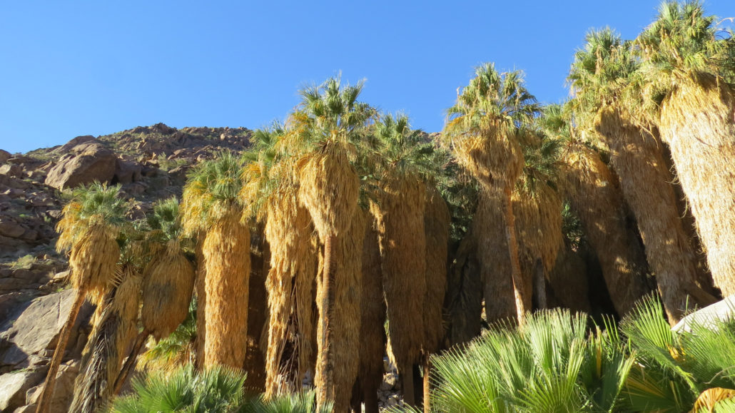
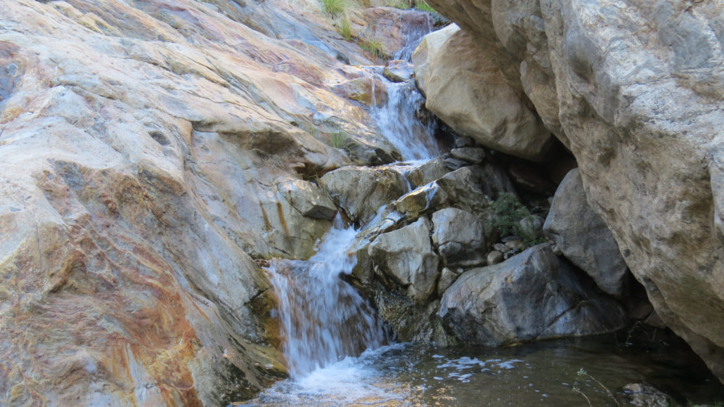
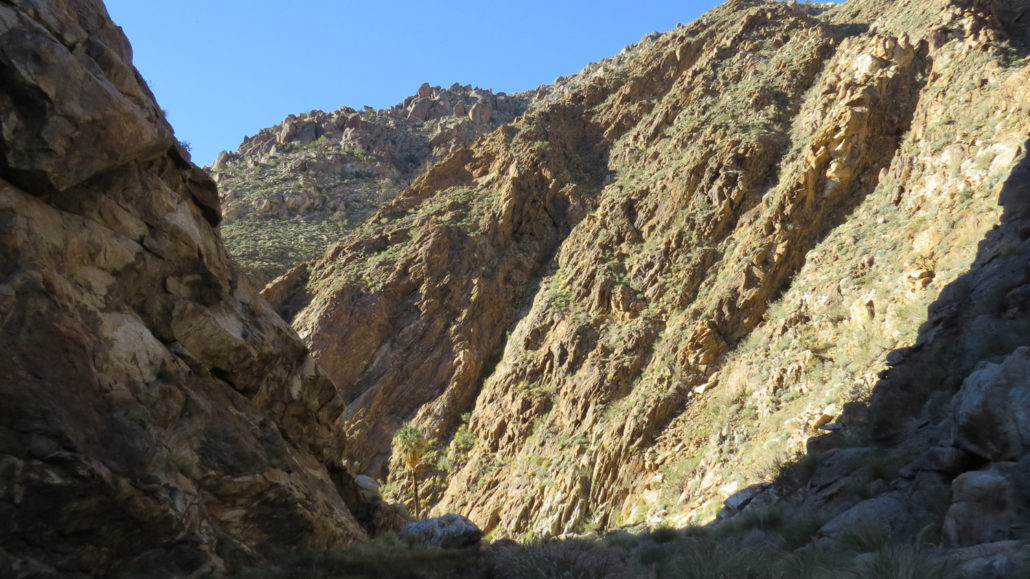
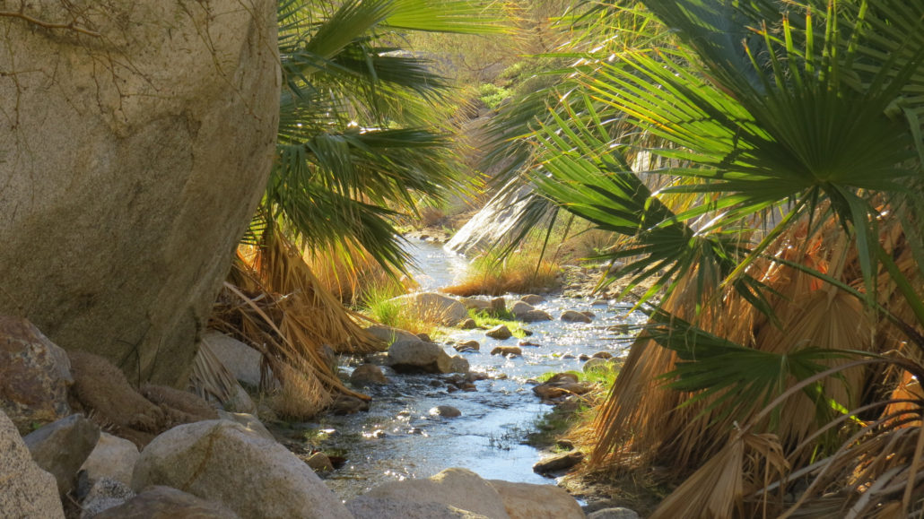
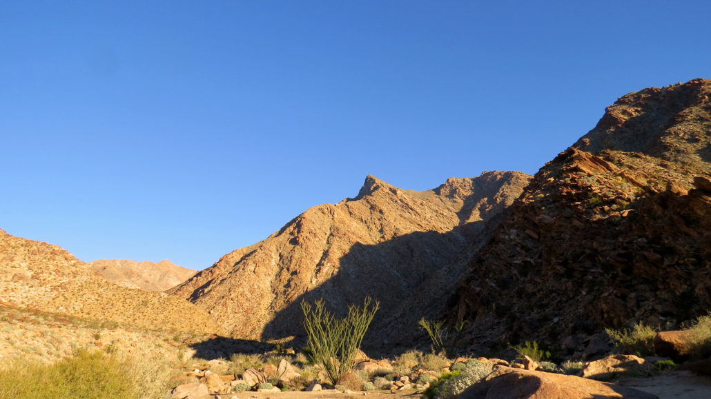
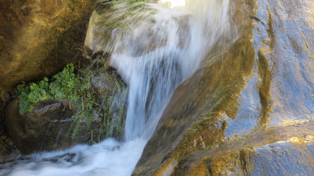
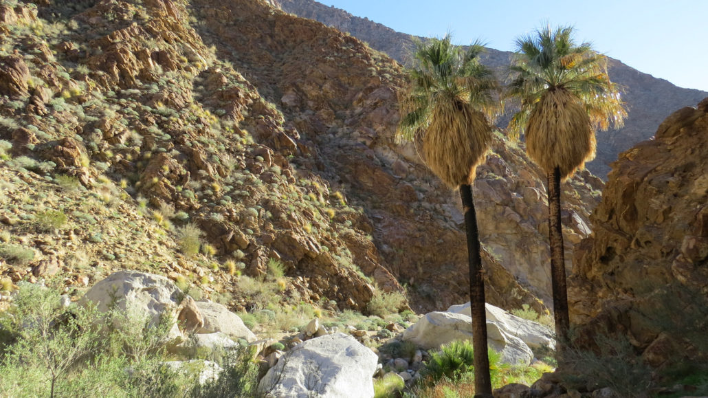
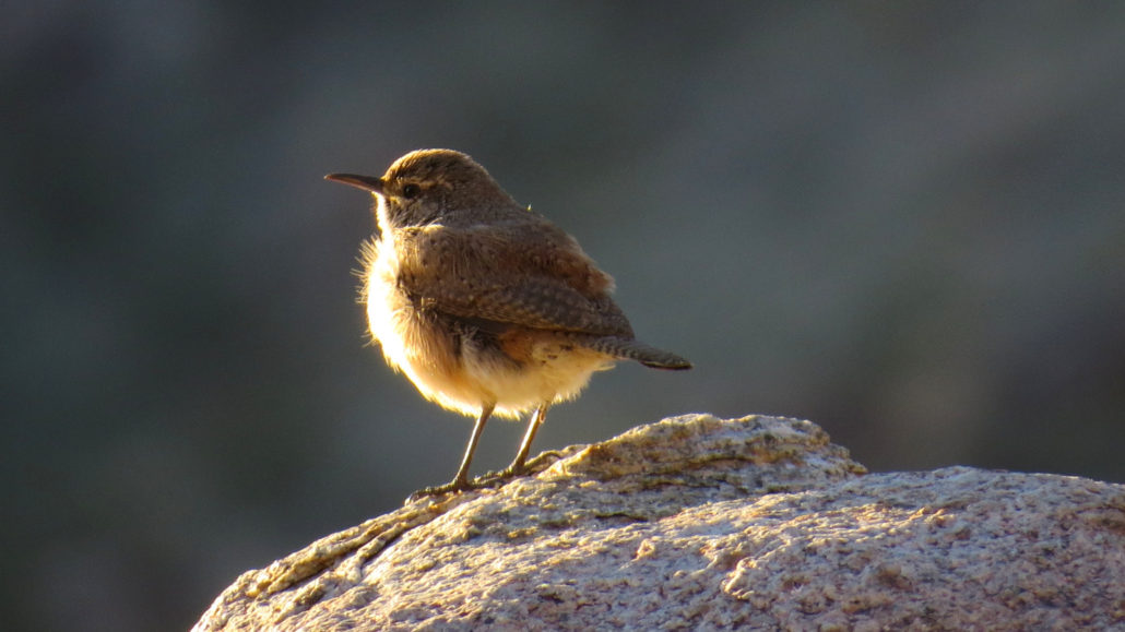
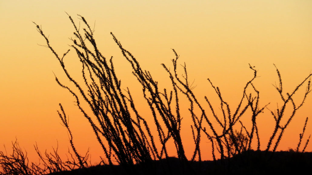
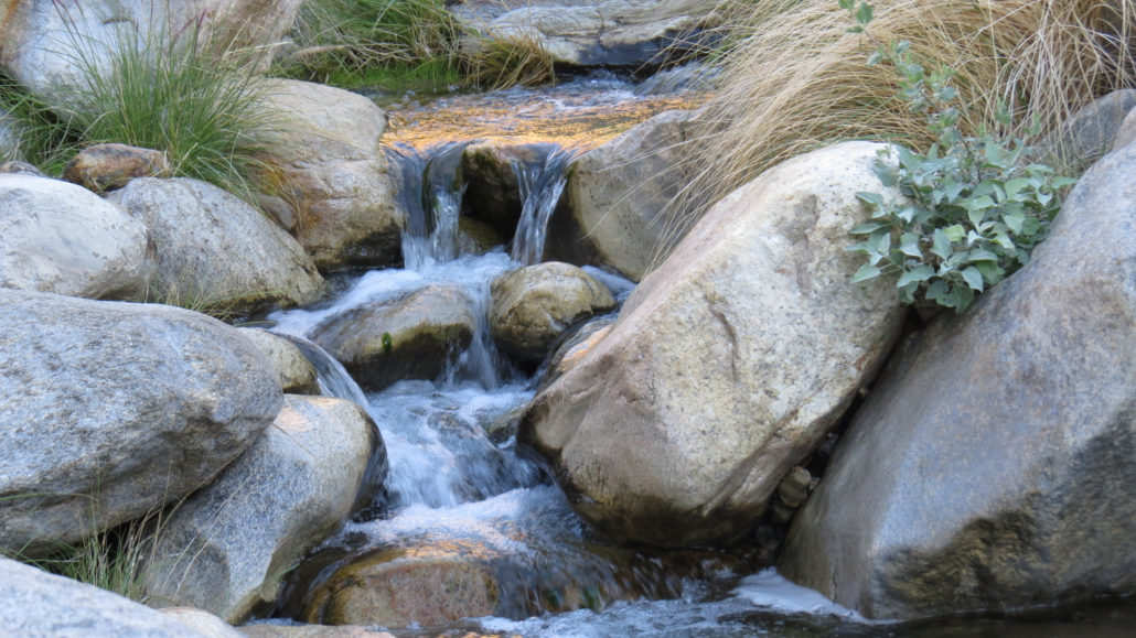
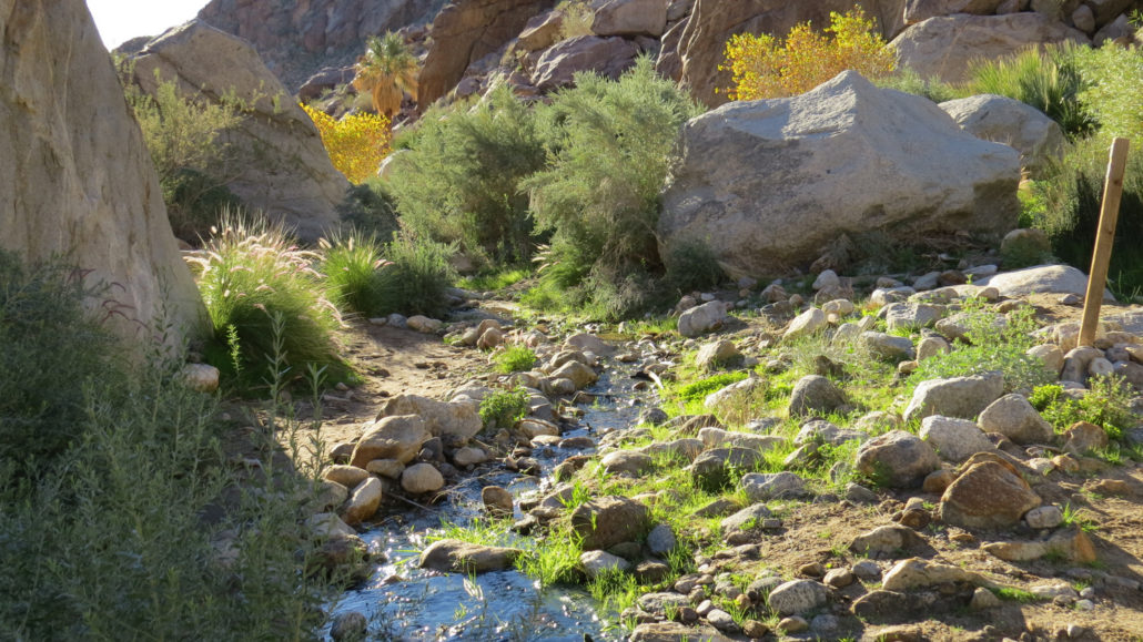
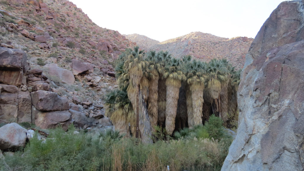
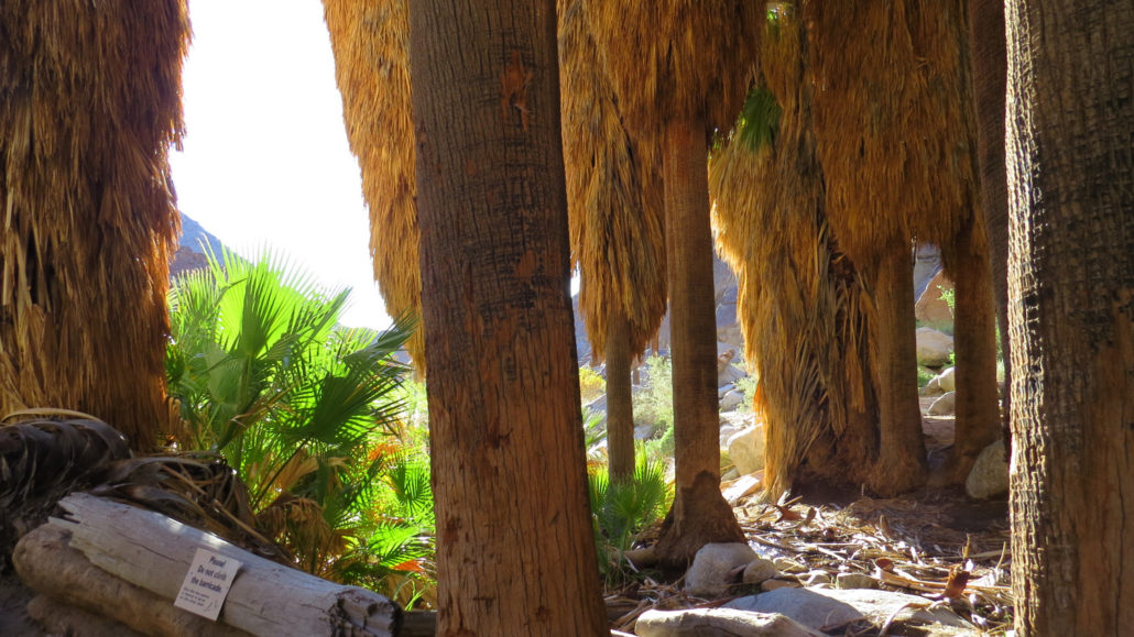
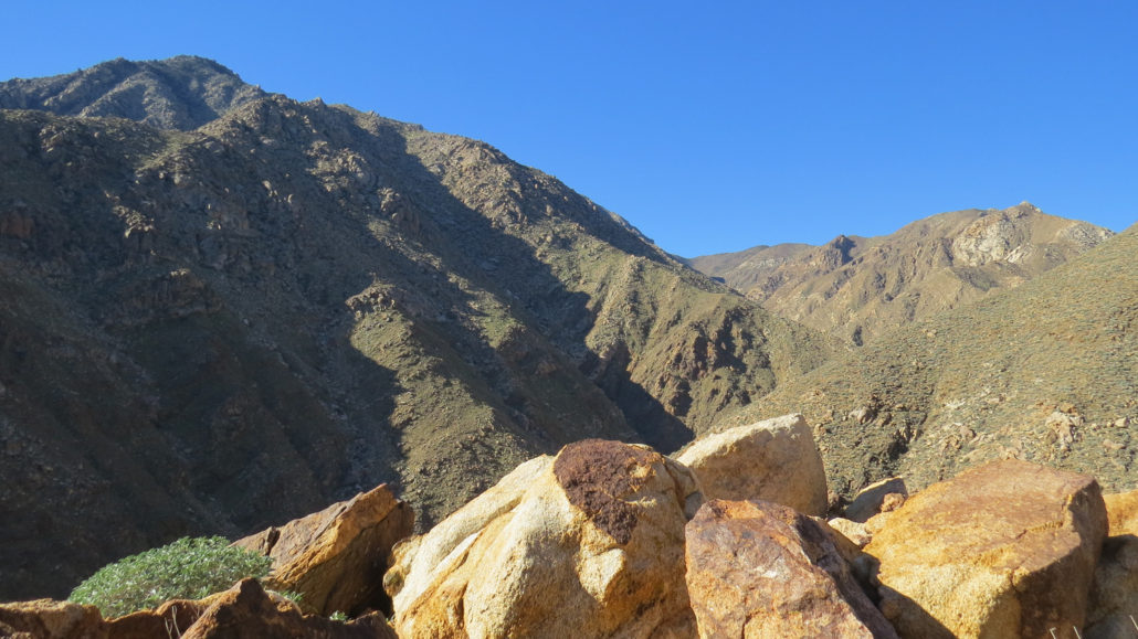
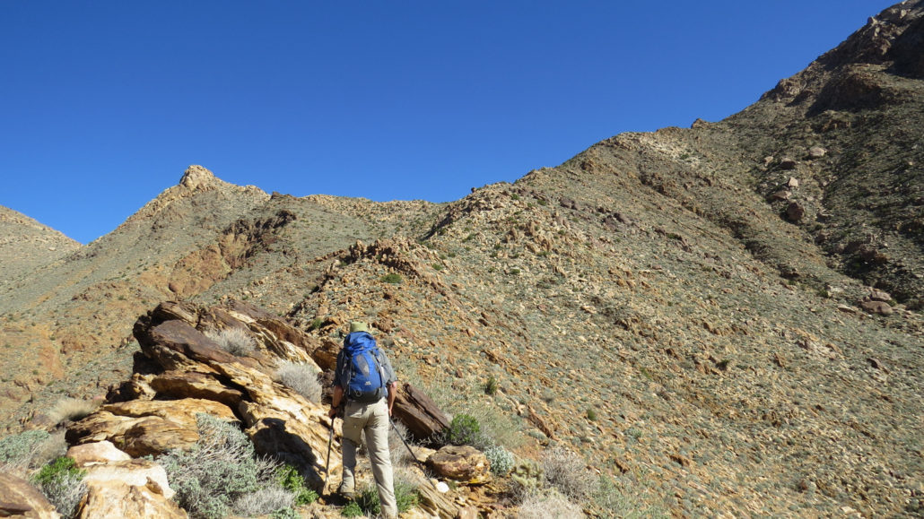
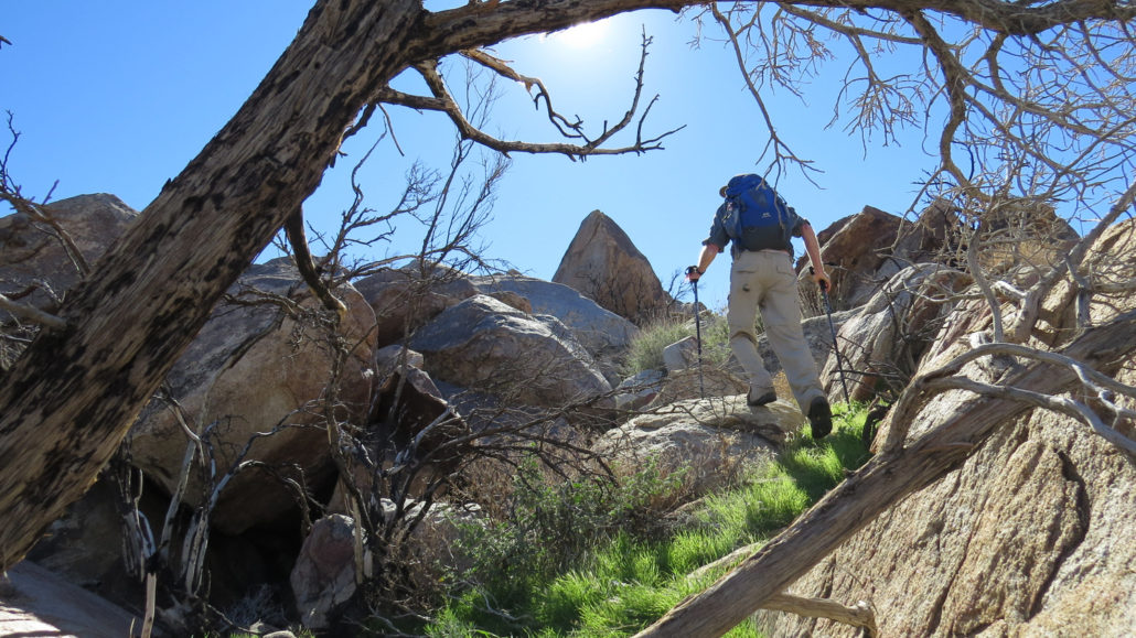
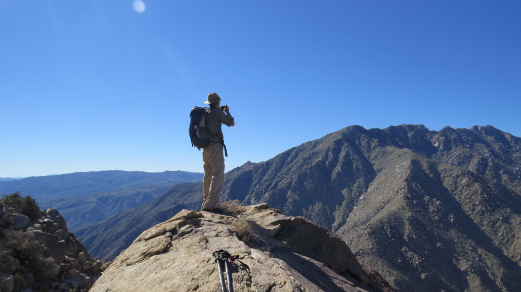
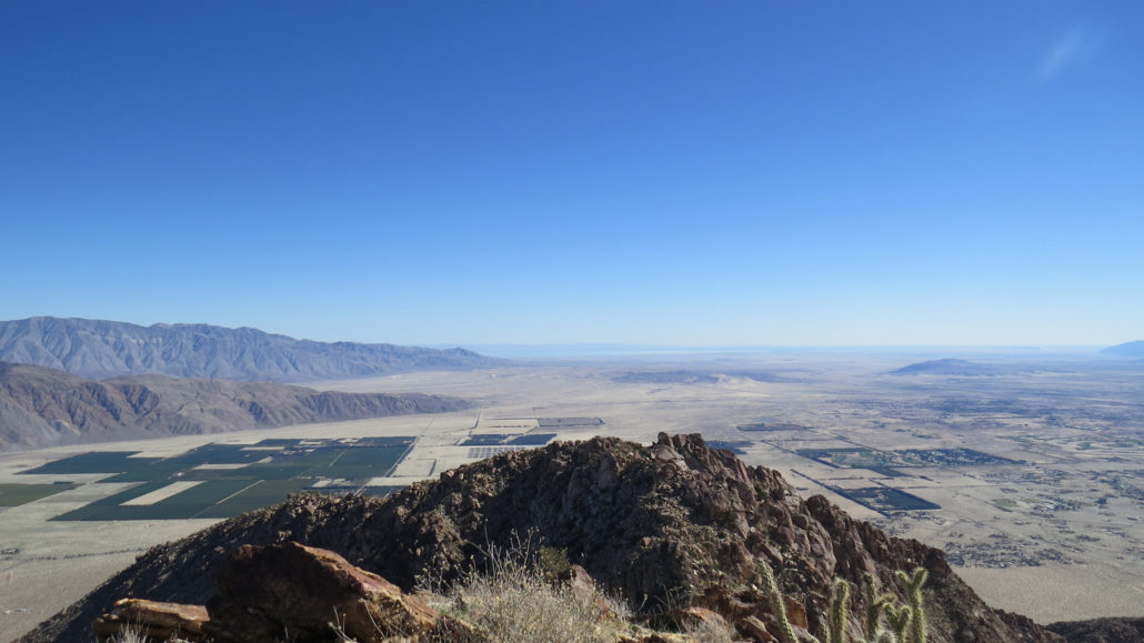
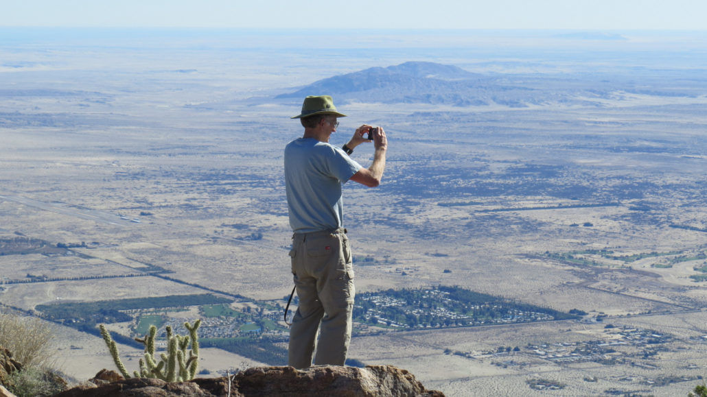
This route to one of Borrego Valley’s iconic peaks features a sampling of the best features of Anza-Borrego Desert State Park all rolled into one. The views from the summit of Indianhead Mountain are spectacular, as is the vertigo-inducing ascent. This hike is a must for all lovers of the Anza-Borrego Desert. Ocotillo at dawn Anza-Borrego Desert State Park is rich in all of the things that make the desert an incredible place. In this massive 600,000-acre park covering one-fifth of San Diego County, you will find countless rocky peaks, austere canyons, palm oases and desert riparian zones fed by springs and year-round creeks, spectacular views across stark landscapes, and, if you’re lucky, encounters with the park’s namesake denizen – the Peninsular bighorn sheep, known in Spanish as Borrego. Rock Wren While all of these natural features can be found in abundance within the park, very rarely do they intersect in one hike as they do at Indianhead Mountain. On this challenging ascent of one of Borrego Valley’s signature landmarks, you’ll encounter all aforementioned natural features in their most spectacular expressions. Indianhead Mountain This route follows the course of Borrego Palm Canyon, which features a year-round creek nurturing groves of California fan palms as well as the resident herd of bighorn sheep. From a point deep within the canyon, hikers can follow a pair of steep, rocky ridges up to the summit of Indianhead Mountain – commonly referred to simply as Indianhead – where an impressive panorama of Borrego Valley, bounded by the Santa Rosa Mountains, Salton Sea, Pinyon Mountains, and San Ysidro Mountains, awaits. One of many small cascades within Borrego Palm Canyon It should be noted from the outset that is a very challenging route. Inexperienced hikers unaccustomed to desert travel should not attempt this hike unless accompanied by somebody familiar with the route. This route contains navigational challenges, including long trail-less passages up Borrego Palm Canyon and the steep ridge leading to t
Trail Stats
14.6 km
975 m
1210 m
254 m
—
Photos
Trail photo
No caption provided.
Trail photo
No caption provided.
Trail photo
No caption provided.
Trail photo
No caption provided.
Trail photo
No caption provided.
Trail photo
No caption provided.
Trail photo
No caption provided.
Trail photo
No caption provided.
Trail photo
No caption provided.
Trail photo
No caption provided.
Trail photo
No caption provided.
Trail photo
No caption provided.
Trail photo
No caption provided.
Trail photo
No caption provided.
Trail photo
No caption provided.
Trail photo
No caption provided.
Trail photo
No caption provided.
Trail photo
No caption provided.
Trail photo
No caption provided.
Trail photo
No caption provided.