5 min
Overview
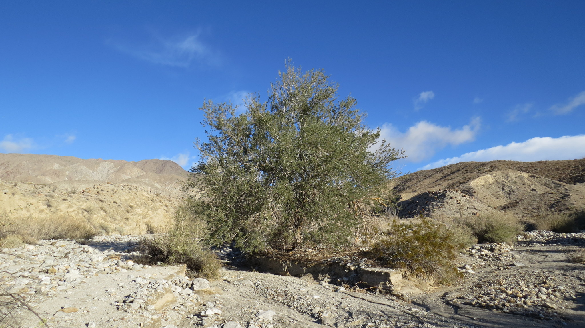
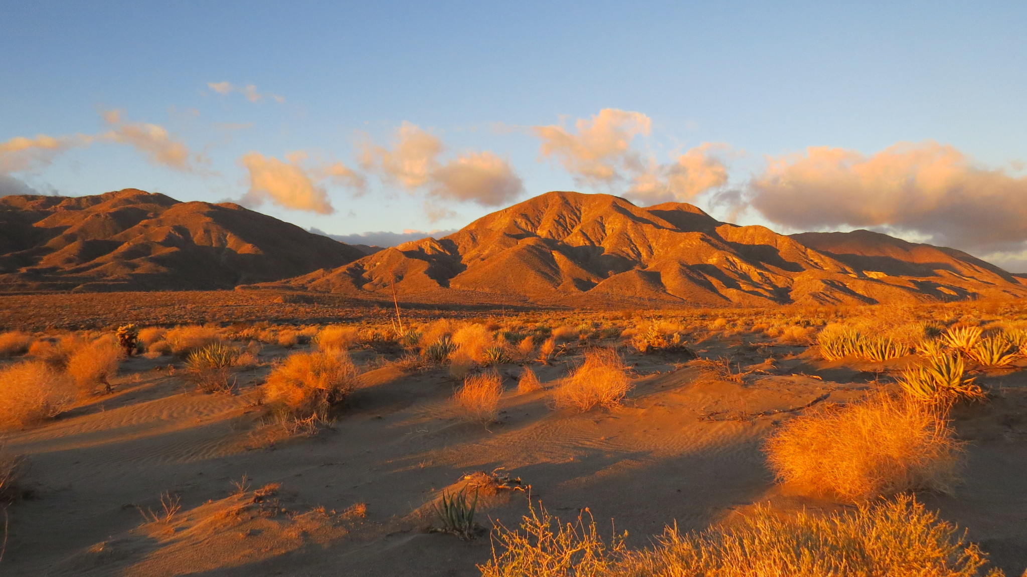
The vast, corrugated region known as the Carrizo Badlands comprises a significant portion of the southern half of Anza-Borrego Desert State Park. This fascinating wonderland displays the geologic history of tens of millions of years in the form of layers of sedimentary rock sliced and diced by fault action and carved and smoothed by erosion. This bewildering landscape has a longstanding reputation for being a major navigational challenge, but hikers adept at desert navigation can work their way north through June Wash to Diablo benchmark, also informally known as Diablo Peak, to get a bird’s eye view of this beautifully austere region. A few standard warnings come with this sort of desert hiking. First and foremost, any hiker attempting this route should possess a reasonable amount of confidence in their ability to navigate by map and compass. While there is a GPS track available for reference, relying on a GPS track and the necessary electronics means that a failure in your equipment could land you in some very serious trouble – particularly for an area with a reputation for being hot, dry, and confusing. Additionally, you will want to avoid this long, exposed, and arid hike if temperatures are forecast to rise above 80-85 degrees. Even if it’s a cool day, come prepared with at least a gallon of water; sun protection in the form of loose, light-fitting clothes, a wide-brimmed hat, and sunscreen; and abundant nutrition to keep you going. Finally, as with most of Anza-Borrego Desert State Park, there are no trails here. You will be following a wash for most of the way before tracing the course of a short canyon and then working your way across open desert to reach the summit of Diablo Peak. If you are new to this type of hiking, or if this type of hiking intimidates you, enjoy this article for its nature porn aspect until you can gain some confidence and skill in cross-country desert navigation by taking one of the Sierra Club’s assorted Wilderness Basics Courses. The start point on this hike is a somewhat ar
Trail Stats
13.2 km
380 m
748 m
351 m
—
Photos

Trail photo
No caption provided.

Trail photo
No caption provided.

Trail photo
No caption provided.
Trail photo
No caption provided.

Trail photo
No caption provided.

Trail photo
No caption provided.

Trail photo
No caption provided.

Trail photo
No caption provided.
Trail photo
No caption provided.

Trail photo
No caption provided.