5 min
Overview
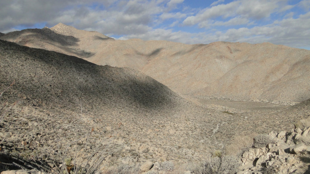
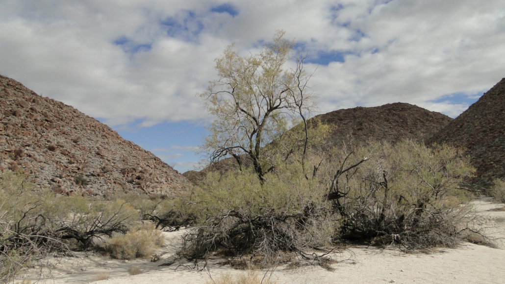
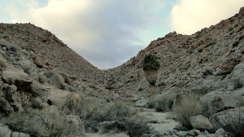
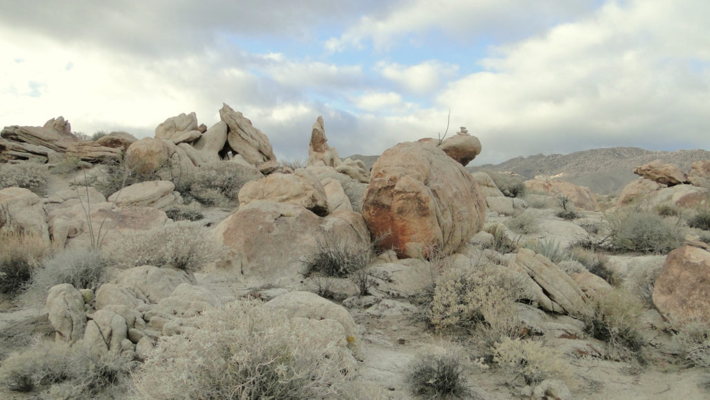
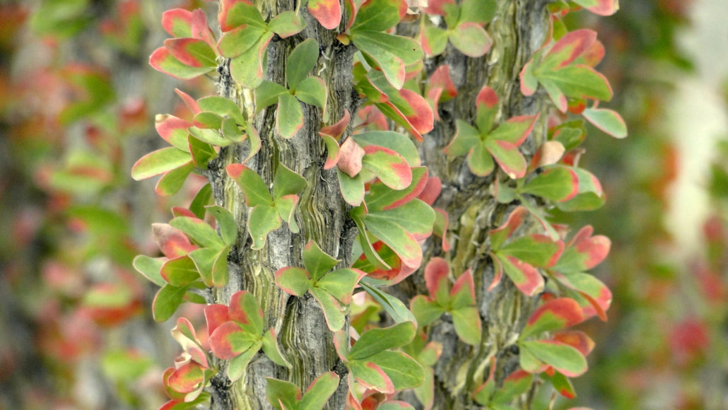
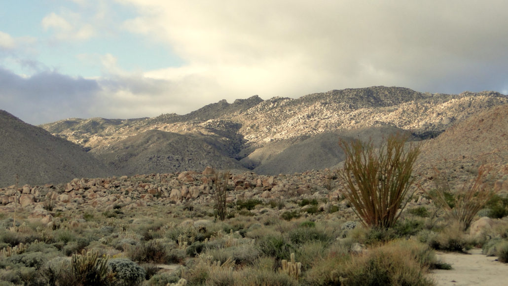
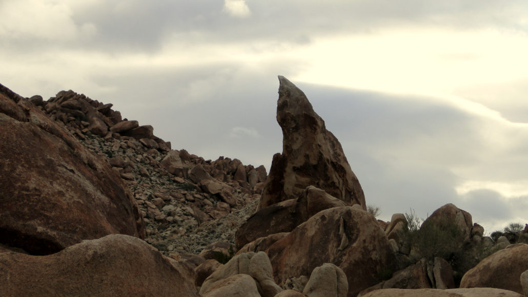
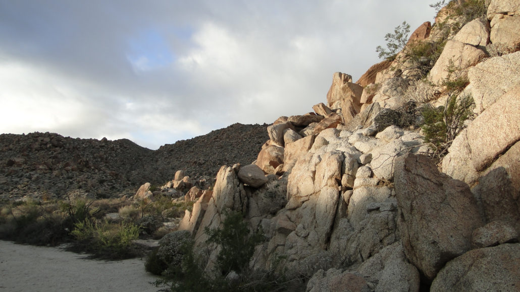
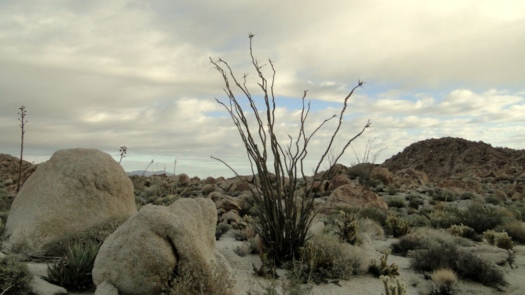
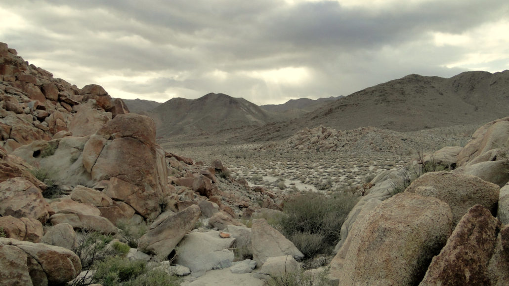
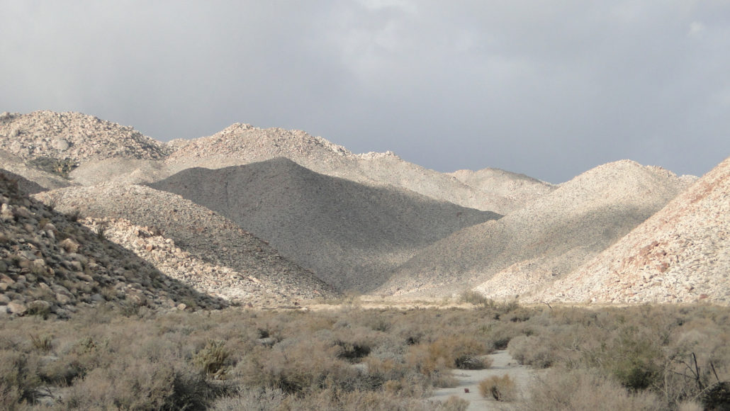
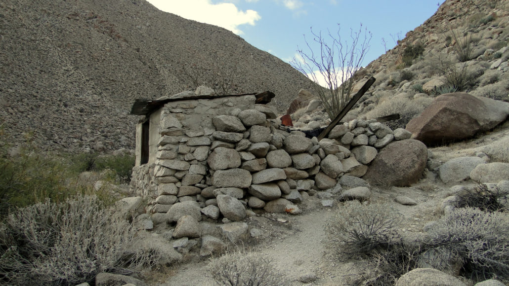
Bow Willow and Rockhouse Canyons, along with the two rugged trails that connect them, combine to form one of the more interesting and adventurous loops on the southern end of Anza-Borrego Desert State Park. In addition to the stark, scenic beauty of the canyons and ridges between them, this hike also features the historical oddity of an old rock line shack tucked into the back of Rockhouse Canyon. A shack anywhere else goes unnoticed, but out in the arid expanses of Anza-Borrego, such a site is enough to give a canyon a name and serve as a worthy hiking destination. Ocotillo leaves following a rain storm This area has a fairly long history of human use stemming back from the region’s original Native American inhabitants. One leg of the route appears to be an old Indian Route that continues to receive maintenance from the cattle who grazed here, presumably under the supervision of the builders of the old shack. Neighboring Bow Willow Canyon received its name due to the large groves of willows lining the wash. Native Americans once used the supple branches to create the bows they used for hunting. Granite crags between the canyons Today, the main denizens of the area are transitory recreation enthusiasts. At one point, vehicle use was common in both canyons, but both canyons have since closed to vehicles, leaving them blissfully silent. The nearby Bow Willow Campground and the also-close Mountain Palm Springs Campground provide good home bases for extensive exploration of the immediate area, which also includes access to the palm groves at Mountain Palm Springs, rugged Sombrero Peak, Canyon Sin Nombre, and Arroyo Tapiado’s famous mud caves. You will walk across this It should be noted in advance that this is a rugged route that rarely follows a discernible trail. While the trail generally sticks to easy-to-follow washes, there are long sections that follow rocky plateaus that are poorly marked and require either competent navigational skills or adherence to the GPS track provided here. If you don’t have a lot of
Trail Stats
14.0 km
304 m
545 m
279 m
—
Photos
Trail photo
No caption provided.
Trail photo
No caption provided.
Trail photo
No caption provided.
Trail photo
No caption provided.
Trail photo
No caption provided.
Trail photo
No caption provided.
Trail photo
No caption provided.
Trail photo
No caption provided.
Trail photo
No caption provided.
Trail photo
No caption provided.
Trail photo
No caption provided.
Trail photo
No caption provided.
Trail photo
No caption provided.
Trail photo
No caption provided.

Trail photo
No caption provided.
Trail photo
No caption provided.