5 min
Overview
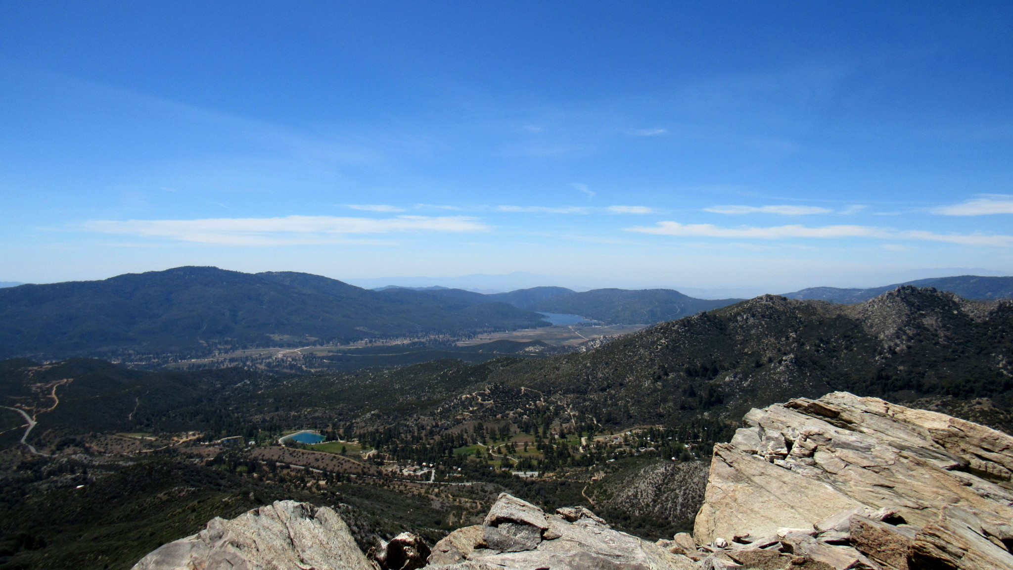
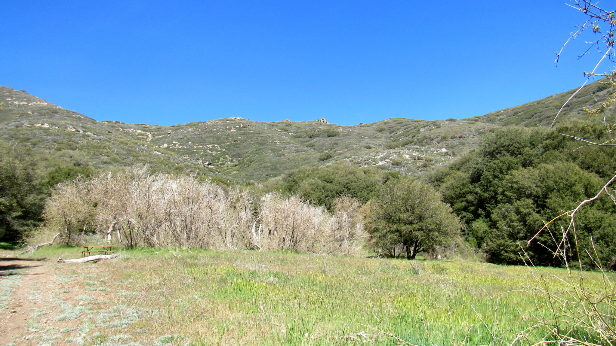
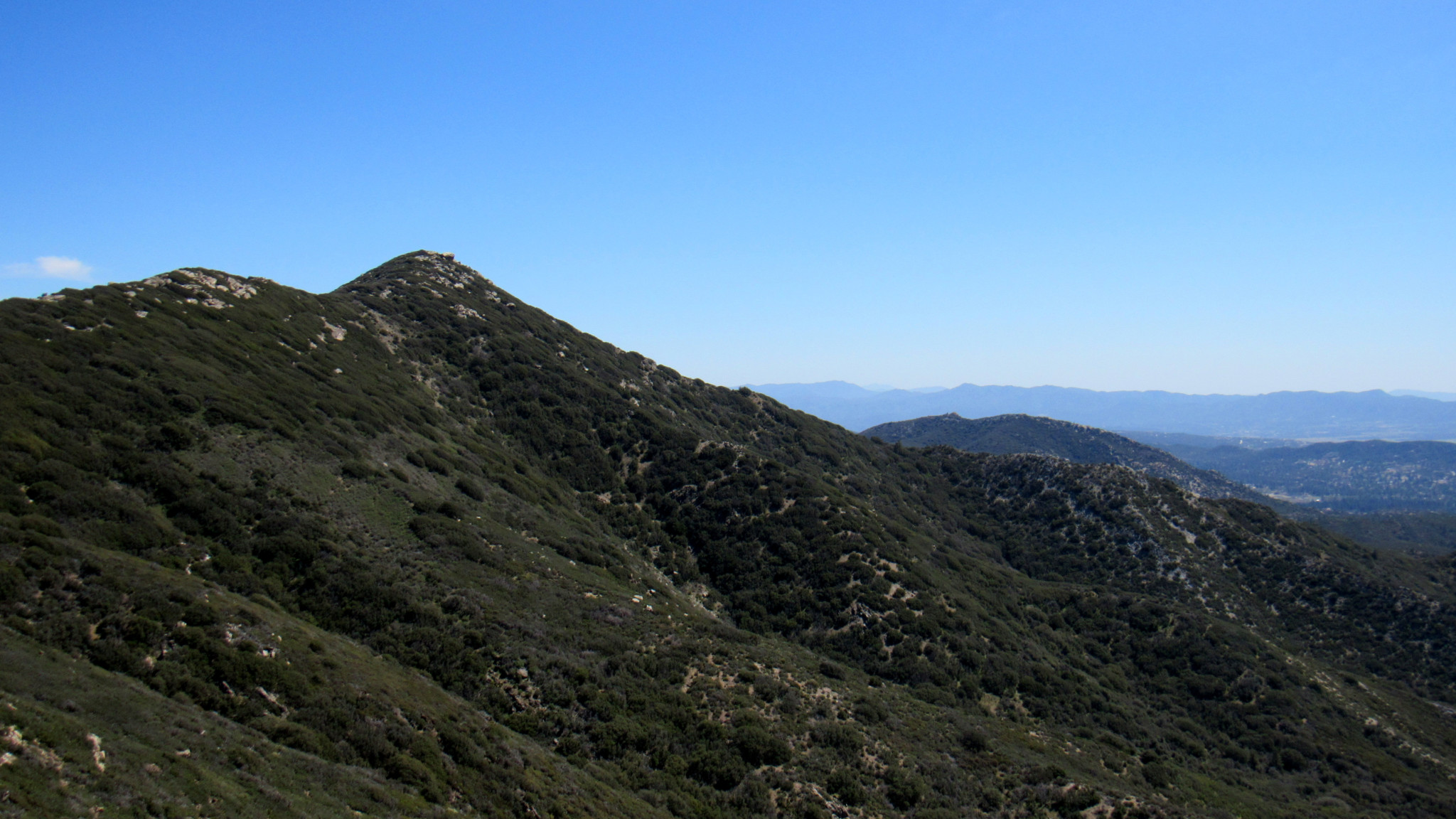
In 2013, an electrical malfunction on private property in the hamlet of Mountain Center triggered a wildfire that would ultimately burn for 16 days and scorch over 27,000 acres. Dubbed the Mountain Fire, this blaze raced east through dense chaparral before climbing toward the spectacular Desert Divide. The fire crested the divide, dropping to within two miles of Palm Springs, before racing north along the divide into Mt. San Jacinto State Park to ultimately threaten both the park’s old-growth forest and the town of Idyllwild. Fortunately, a massive summer thunderstorm effectively extinguished the blaze before Idyllwild could feel any effects, and the burn cleared decades of detritus while refraining from destroying too many trees. The Coachella Valley from the Desert Divide From the hiker’s perspective, the most tragic result of the fire was San Bernadino National Forest’s closure of one of the most magnificent stretches of the Pacific Crest Trail in Southern California stretching from Fobes Saddle to Tahquitz Valley. Prior to the fire, numerous peaks scraping or surpassing 7,000′ and 8,000′ tempted peak baggers with views encompassing both the Coachella Valley and the Inland Empire and Peninsular Ranges. While many of those peaks – Spitler, Apache, Antsell Rock, and Red Tahquitz to name a few – still remain inaccessible four years after the blaze (as of November 2017), the entirety of the PCT south of Fobes Saddle along with many slightly lower peaks remains still open. Pyramid Peak, left of center Pyramid Peak, the first accessible 7,000’+ peak you encounter on the Pacific Crest Trail moving south to north, is one remaining option for the kind of peak-bagging that hikers enjoyed prior to the Mountain Fire. While you can reach the summit via a long point-to-point approach that exclusively utilizes the PCT, a shorter, albeit steeper route allow you to access the Desert Divide and the peak from Morris Ranch Road. From the parking area near the end of Morris Ranch Road, continue north to the end of the paved roa
Trail Stats
12.2 km
640 m
2150 m
1667 m
—
Photos

Trail photo
No caption provided.

Trail photo
No caption provided.

Trail photo
No caption provided.
Trail photo
No caption provided.

Trail photo
No caption provided.

Trail photo
No caption provided.
Trail photo
No caption provided.
Trail photo
No caption provided.

Trail photo
No caption provided.