4 min
Overview
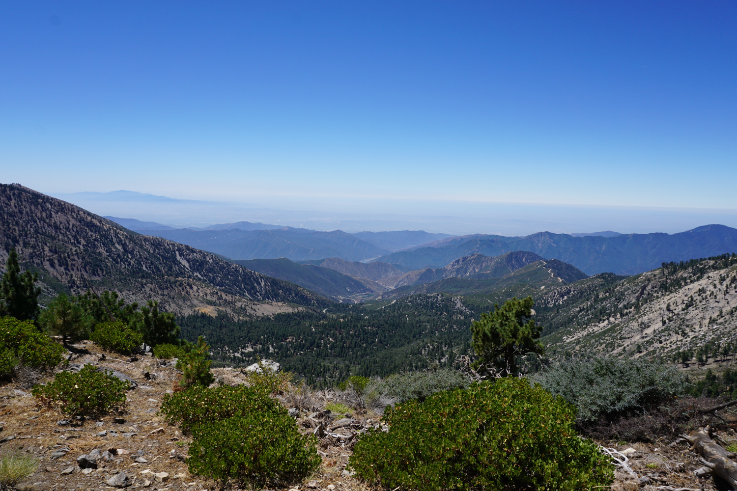
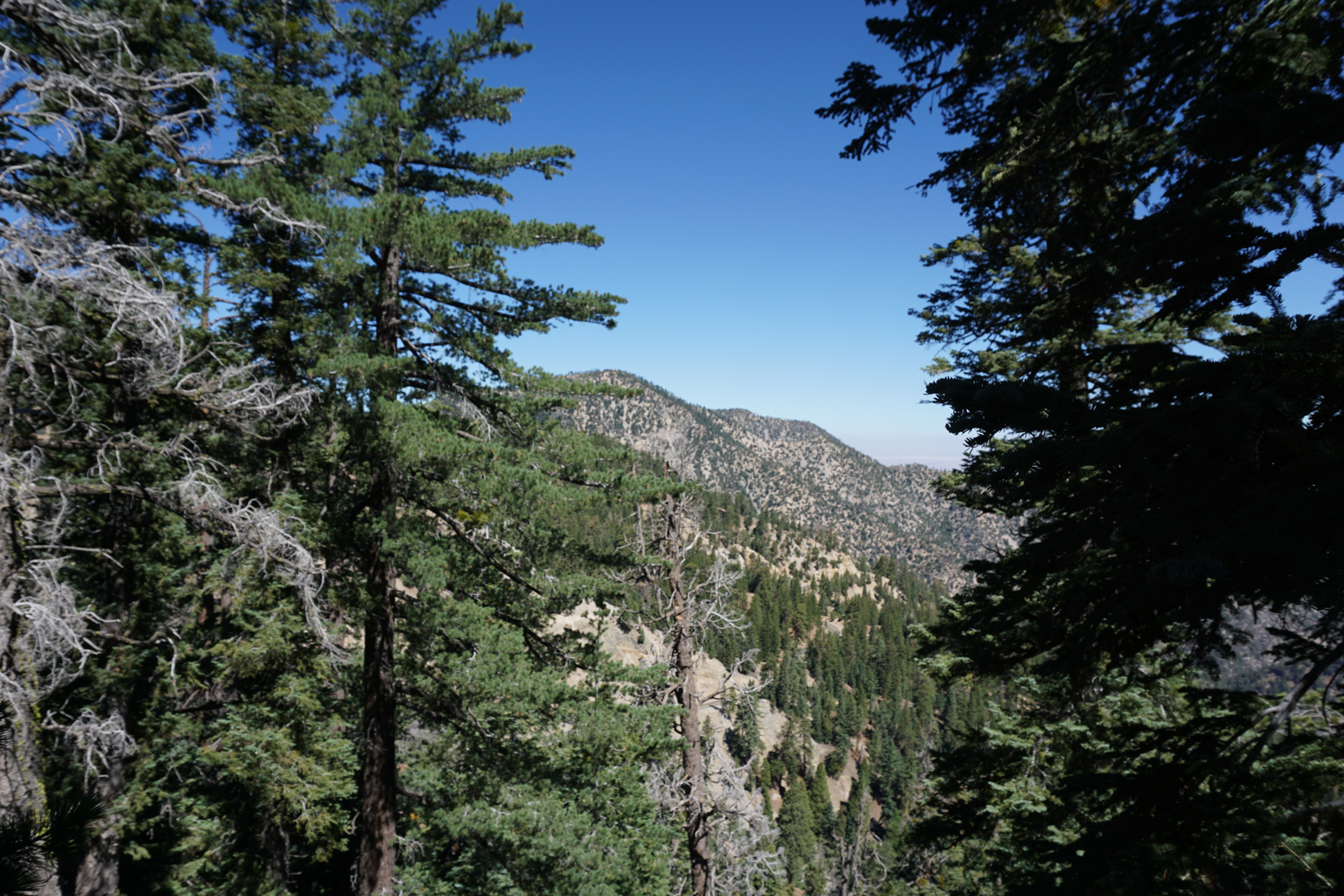
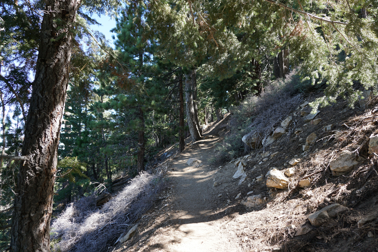
The hike to Mount Islip is a predominantly shaded, gently graded 7 mile trail that offers unparalleled views of the Yerba Santa Amphitheatre, the high peaks of the central San Gabriels, as well as a well-maintained trail camp that’s a favorite of Boy Scouts and PCT thru-hikers. Ruins of an old fire lookout near the summit of Islip provide a bit of historic interest, while on clear days hikers will be able to see both the tallest point in the city of Los Angeles as well as the tallest point in Los Angeles County. The trail to Mount Islip begins – easily enough – at Islip Saddle. Just past two tunnels, there is a moderately sized parking lot on the north side of the Angeles Crest Highway. It’s a popular parking area, especially for mountain bikers who ride down the closed CA-39, but it is also a stop on the Pacific Crest Trail / Silver Moccasin Trail, so it can see a lot of foot traffic from thru-hikers and Boy Scouts alike. The trailhead is on the south side of the Highway, and is marked by a lone stake in the ground emblazoned with the PCT emblem: The trail makes a few quick switchbacks through some low rabbitbrush and manzanita before heading up to the cover of the pines. From here, you’ll have some interesting views of the Angeles Crest Highway and CA-39, but don’t worry about savoring them – you’ll have better views from the summit. the shade can significantly cool the climb upward The trail continues on the moderately shaded north face of Mount Islip for a mile, where it crosses a signed dirt road. This is the old route to Little Jimmy Camp, which begins a bit further east on the Angeles Crest Highway. Both paths still lead to Little Jimmy Camp, but stick to the trail for a slightly shorter distance and nicer track. From here, it’s another 1.1 miles of beautiful, relatively flat hiking to the campground. Like many areas in this section of the Angeles National Forest, parts of these slopes were damaged by the Curve Fire in 2002. While the north face of Islip remained relatively unscathed, there are still som
Trail Stats
11.3 km
495 m
2514 m
2016 m
—
Photos
Trail photo
No caption provided.
Trail photo
No caption provided.
Trail photo
No caption provided.