4 min
Overview
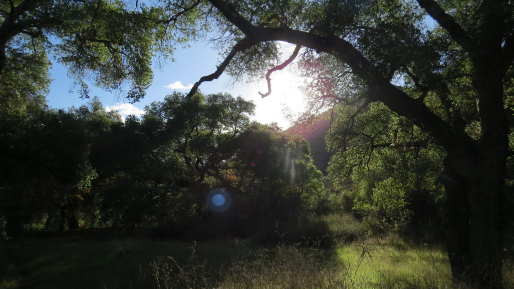
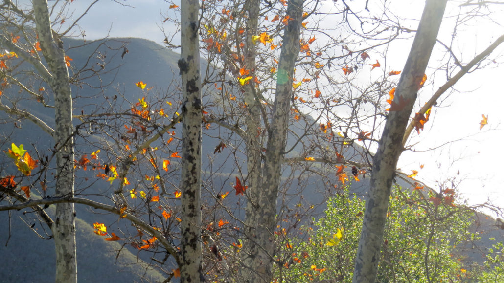
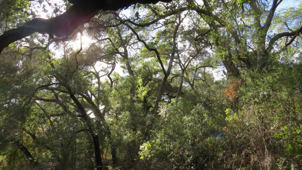
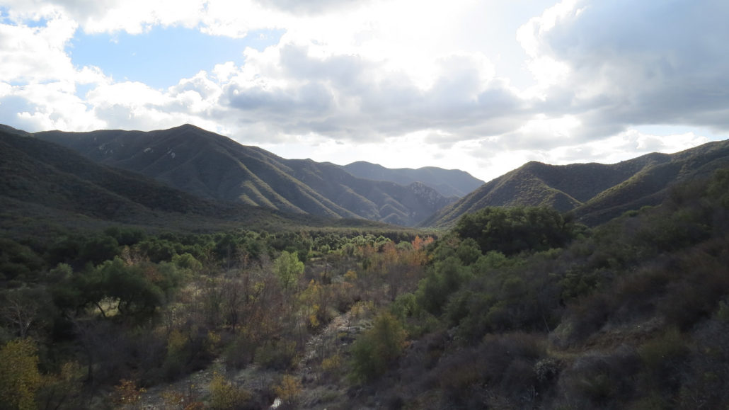
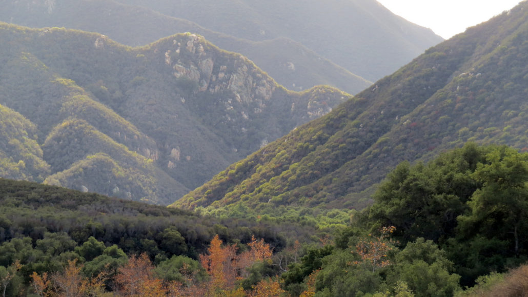
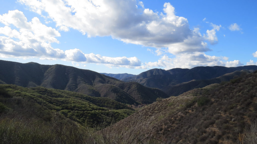
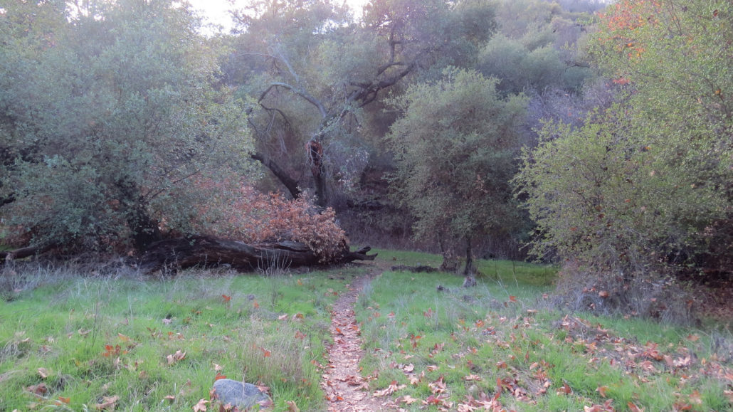
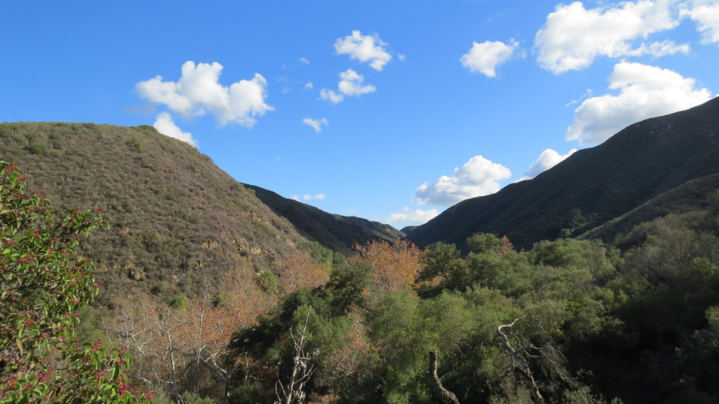
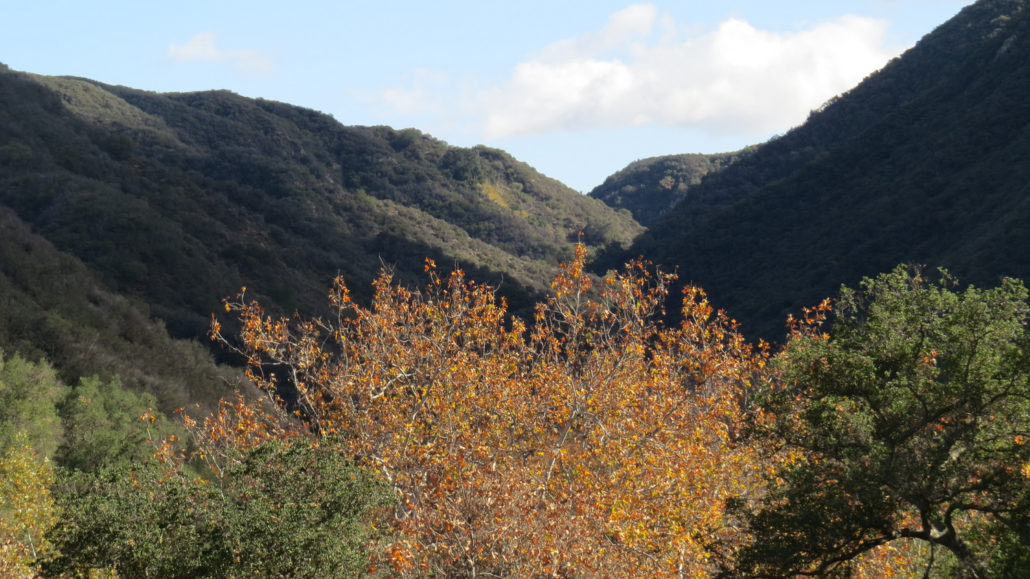
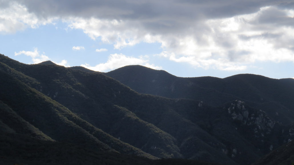
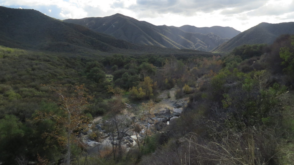
Beautiful San Mateo Canyon lies in the heart of one of the few coastal California wilderness areas. This deep and rugged gorge occupies the southern third of the Trabuco District of Cleveland National Forest, and it protects one of the largest undisturbed watersheds in Southern California. The canyon’s remote location and relatively small number of visitors means hours (or days) of solitude for adventurous day hikers and backpackers. This 6.6 mile trip travels along the shortest route to the bottom of the canyon and continues on a partial traverse west toward the boundary between public lands and Camp Pendleton. Along the way, you will pass through miles of undisturbed old-growth chaparral, riparian woodlands, trickling creeks, shallow ponds, and a number of excellent backpacking campsites that make the canyon an excellent location for overnight camping. There are several ways to enter San Mateo Canyon, including the Bear Canyon Trail – which doubles as the trailhead for Sitton Peak, the Tenaja Falls Trail, the Tenaja Canyon Trail, and the Fishermans Camp Trail. This route focuses on the shorter, no-nonsense Fishermans Camp Trail, which drops about 500 feet to Fishermans Camp at the confluence of Tenaja Canyon and San Mateo Canyon. Each of the other routes is a satisfying endeavor in its own way, but all represent a considerably larger expenditure of time and energy. Fishermans Camp After parking and displaying your Adventure Pass at the Fishermans Camp Trailhead, pass the large boulder in the middle of the old road bed and commence contouring along the southern wall of San Mateo Canyon. This trail occupies an old road bed that once served as an access road to Fishermans Camp. The camp used to be a drive-in site that catered to fishermen looking to catch steelhead trout in the canyon. After the conferral of wilderness status, the Forest Service began maintaining the road as a trail. Now, the only camping done at Fishermans Camp is backpacking. No fires are allowed. San Mateo Canyon on the descent from the trail
Trail Stats
10.8 km
274 m
463 m
306 m
—
Photos
Trail photo
No caption provided.
Trail photo
No caption provided.
Trail photo
No caption provided.
Trail photo
No caption provided.
Trail photo
No caption provided.
Trail photo
No caption provided.
Trail photo
No caption provided.
Trail photo
No caption provided.
Trail photo
No caption provided.
Trail photo
No caption provided.
Trail photo
No caption provided.
Trail photo
No caption provided.