4 min
Overview
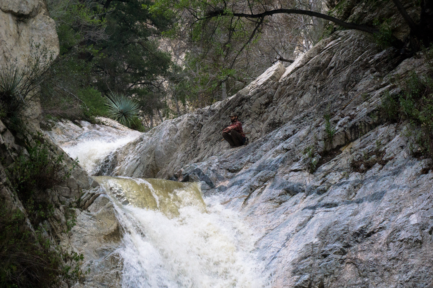
A short hike to 50-foot high Switzer Falls, one of the most popular and easily-accessible waterfalls in the Angeles National Forest. This route also includes a trip further down the canyon to Bear Canyon Campground, an easy way to get away from the crowds at Switzer to find some swimming holes you can keep to yourself. Switzer Falls is one of the most popular waterfall hikes in Los Angeles County, and maybe in all of Southern California. It’s easily accessible from the picturesque Switzer’s Picnic Area – which means this trail can get pretty crowded on the weekends. If you find yourself circling the lower parking area, there are two overflow lots above it on the canyon road – it just means you’d have to add some elevation to your exit hike. The first section of the trail is on paved asphalt and travels past several additional picnic areas. A few more small cookouts were getting started up, and a large stream of people were coming up out of the canyon – many of them with dogs in tow. The pavement doesn’t last for long and soon you’re hopping across boulders and getting up close and personal with the Arroyo Seco, which is passable in all but the highest floods. If we’ve had a decent rainstorm, though, give the canyon a good 48 hours or so to drain out a bit. The trail hugs the river side for most of the way in on this first mile. This area was badly burned during the 2009 Station Fire, but although the damage is visible the region is recovering nicely. At the 1.1 mile mark, you reach a small junction at a stream crossing. The trail to the left takes you through the ruins of Switzer’s Camp, part of one of the early wilderness resorts in the mountains called Switzer-Land. There’s not a whole lot left, and you wouldn’t even know you were walking through ruins unless you read about it ahead of time. You can walk up to the spot where a small chapel once stood overlooking a waterfall. The Forest Service tore it down for safety’s sake, but you can still see some of the arched foundations scattered along the ridge. If yo
Trail Stats
11.5 km
210 m
1043 m
783 m
—
Photos
Trail photo
No caption provided.

Trail photo
No caption provided.

Trail photo
No caption provided.

Trail photo
No caption provided.