4 min
Overview
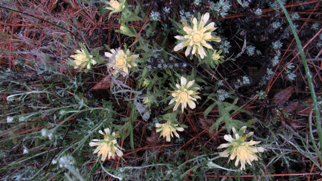
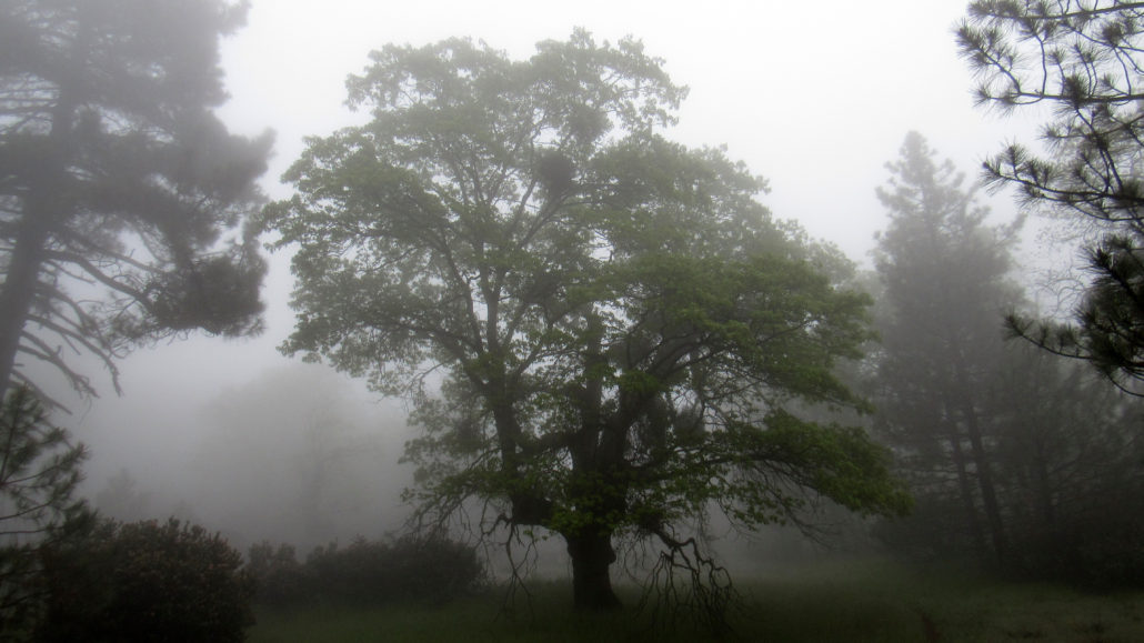
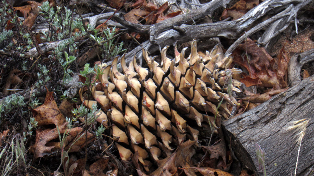
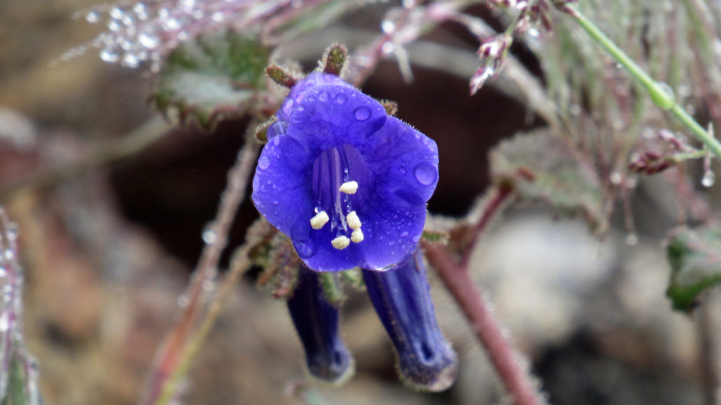
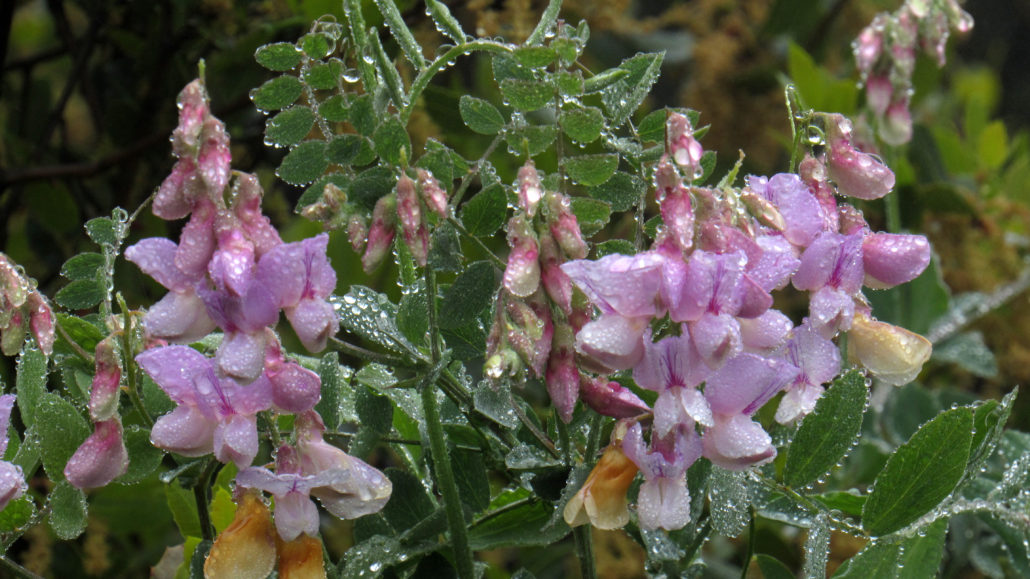
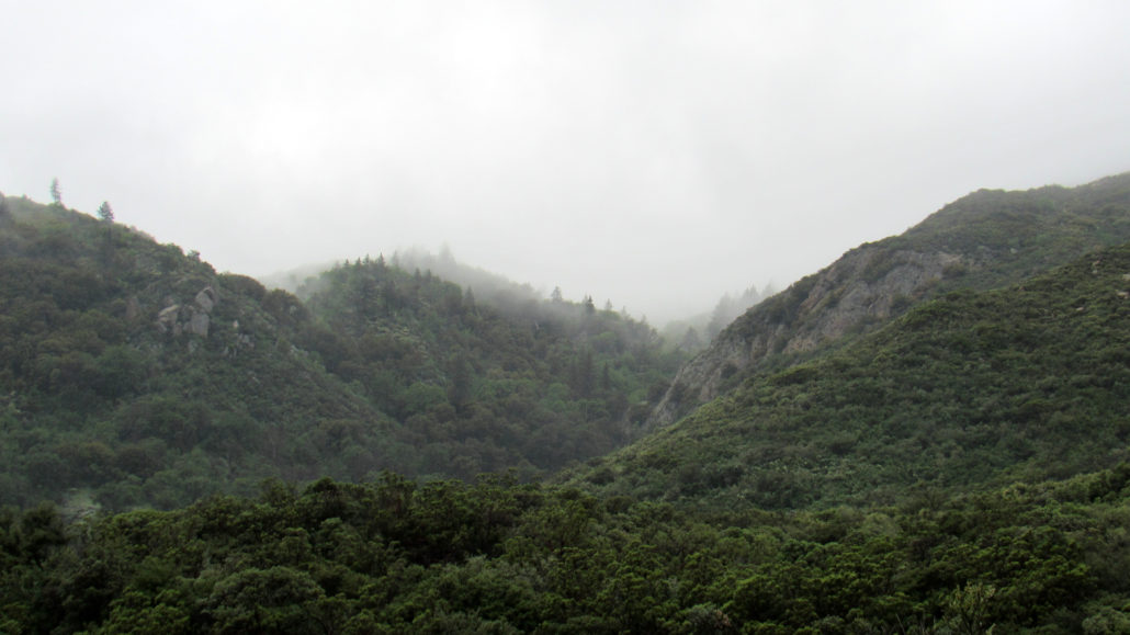
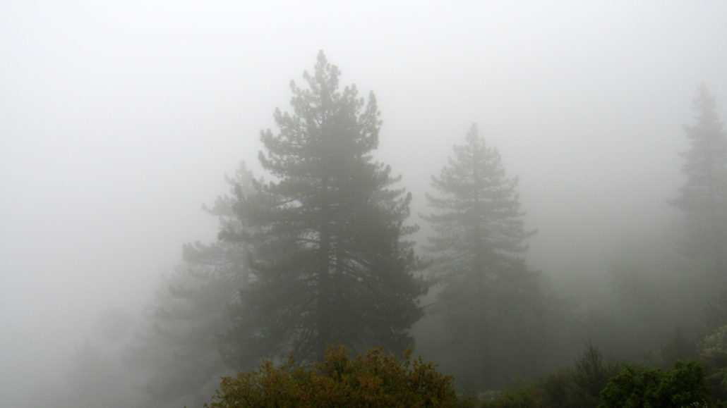
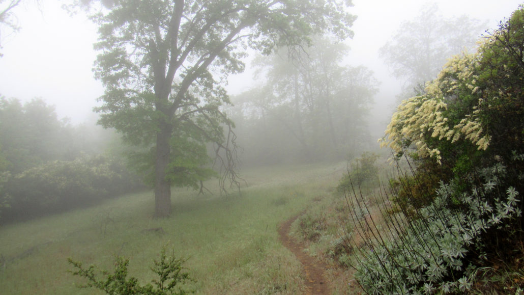
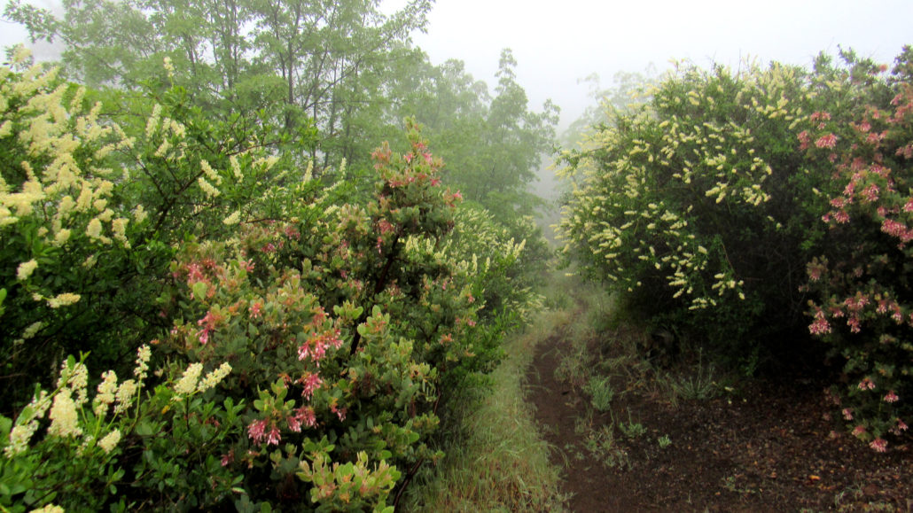
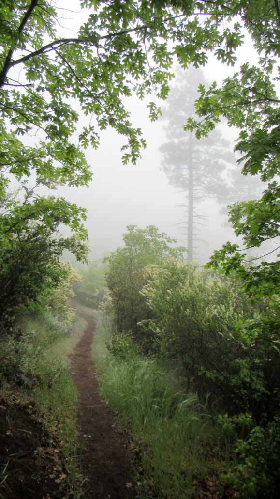
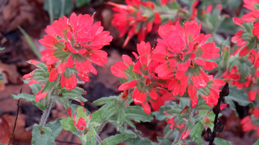
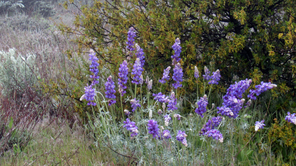
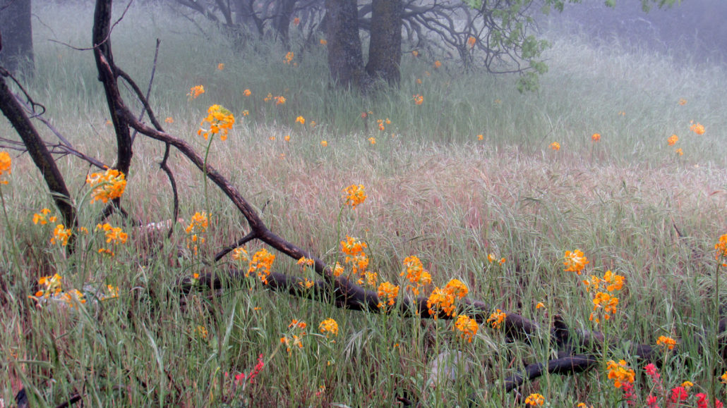
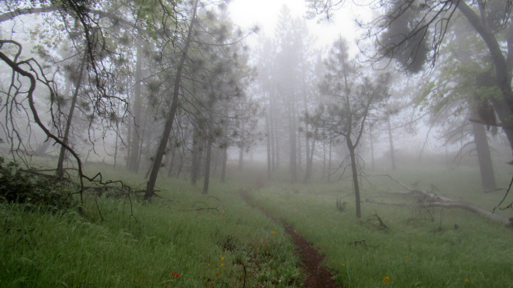
Standing aloof from the forested ridges and mountaintops bounding Anza Valley, the rugged, wooded heights of Cahuilla Mountain offer superb views, backcountry camping, meadows, wildflowers, and an unexpected forest of pines and black oaks. The peak lies within the Cahuilla Mountain Wilderness overseen by San Bernardino National Forest. Note: Add 3 miles to the distance if you walk on Diego Flat Road from the junction with the unnamed gated road. This will also add an additional 500 feet to the total elevation. Three to fours times a year, I head out to the Idyllwild area to do some hiking in the San Jacinto Mountains. The route I take brings me through Anza Valley (distinct from Anza-Borrego Desert State Park), and every time I’ve passed through, I’ve looked to the north of the small town of Anza and noticed a rugged, pine-clad peak standing aloof from the surrounding mountains. It never fails to draw my gaze, but with the promise of bigger, badder peaks in the San Jacintos, the refrain is always, “Some other time.” I’m sorry I waited so long. Cahuilla Mountain is a beautiful and unexpected place. I expected mostly chaparral with a Coulter pine here or there. I thought I might get some views (even though heavy fog blocked any semblance of a view). I didn’t expect the beautiful forest, the meadows, and the best SoCal wildflower display I had seen all year. I’m sure some of the magic for this hike came because of the thick cloud cover, which always gives the impression of a secret, hidden world. However, no matter the conditions, I’m confident that hikers of all stripes will find something to enjoy. Please note that all descriptions of the views are approximations, given that I couldn’t see a damn thing when I did the field work here. All vistas described here are based off of my general geographic knowledge with some verification done in Google Earth. Expect errors. View from Diego Flats Road As mentioned in the driving directions, the 1.5 mile stretch of Diego Flat Road from the junction is not recommended for
Trail Stats
10.0 km
396 m
1715 m
1372 m
—
Photos
Trail photo
No caption provided.
Trail photo
No caption provided.
Trail photo
No caption provided.
Trail photo
No caption provided.
Trail photo
No caption provided.
Trail photo
No caption provided.
Trail photo
No caption provided.
Trail photo
No caption provided.
Trail photo
No caption provided.
Trail photo
No caption provided.
Trail photo
No caption provided.
Trail photo
No caption provided.
Trail photo
No caption provided.
Trail photo
No caption provided.