2 min
Overview
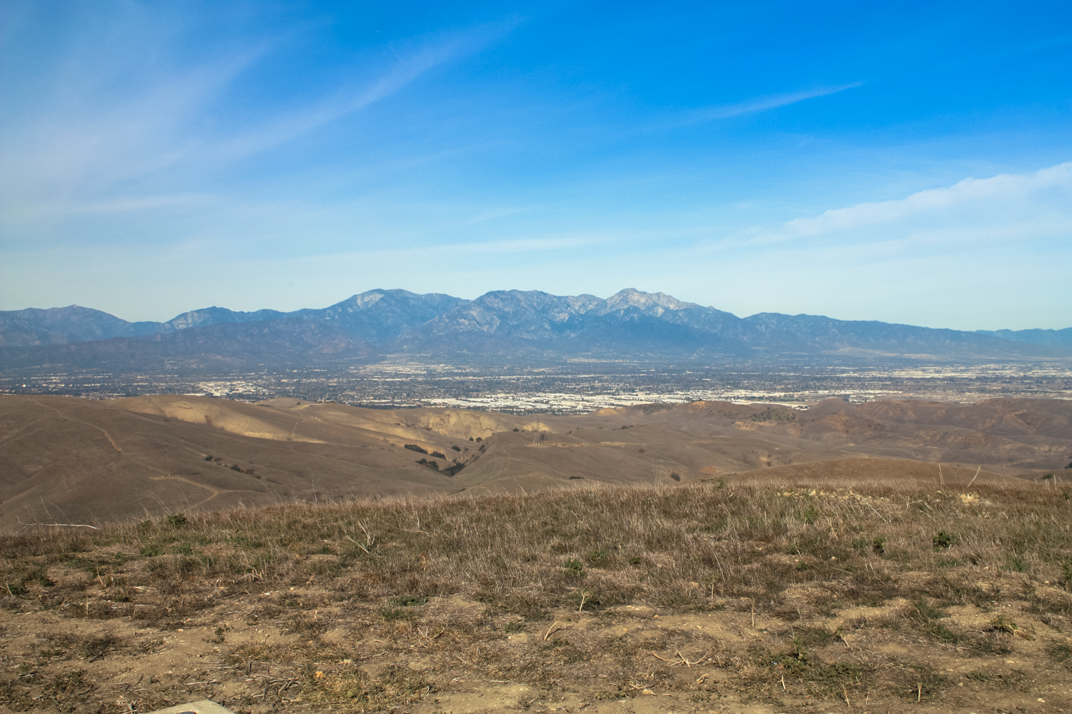
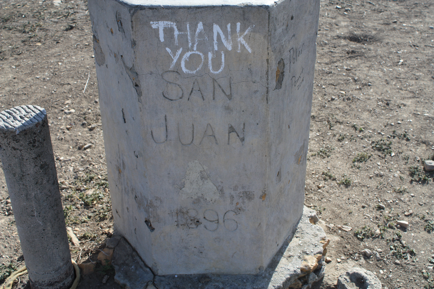
Chino Hills State Park was founded in part to prevent sprawling SoCal housing from closing off an important wildlife corridor between the Santa Ana Mountains and the Puente Hills (and, along the Rio Hondo and San Gabriel Rivers, up to the San Gabriel Mountains, too!). The park itself can be divided into two different types of terrains and two different sections — to the west, we have a section anchored by the Discovery Center near Carbon Canyon. To the east, a connected but distinctly different section of the park is accessed by Bane Canyon Road and the old Rolling M Ranch. Both sections of the park have basically two types of trails — canyons and ridgelines. The trek up to San Juan Hill is a ridgeline route — totally shadeless, sun-exposed, and steep — but with phenomenal views in nearly every direction. There is hardly a finer spot to soak in a full lay of the land of this region of Southern California, and to clearly make out the interconnected nature of its rivers, hills, and mountains. In the winter and spring months — given a decent amount of rain — this is also one of the most breathtaking regions for wildflowers. This particular run to the top of San Juan Hill is a no-nonsense fire road route that, to be honest, is more popular with mountain bikers and trail runners than with us slowpoke hikers — but that doesn’t mean we should overlook it. Check with the park to make sure it’s open (the park may be closed during Red Flag days or after heavy rains), then head up to Rimcrest Drive and look for the clear trailhead. Looking back toward Rimcrest Drive from the trail The trailhead here immediately hits a four-way junction. To the west, the South Ridge Trail rises along — you guessed it — the southern ridge of the park. Straight ahead, the narrow Easy Street Trail will take you down into Telegraph Canyon. You’ll want to keep to the right, to head east (and up) the South Ridge Trail toward San Juan Hill. Although you’ll still be able to see the development of Yorba Linda to your south through most of this rout
Trail Stats
9.7 km
393 m
536 m
300 m
—
Photos
Trail photo
No caption provided.

Trail photo
No caption provided.
Trail photo
No caption provided.

Trail photo
No caption provided.

Trail photo
No caption provided.

Trail photo
No caption provided.

Trail photo
No caption provided.

Trail photo
No caption provided.

Trail photo
No caption provided.