6 min
Overview
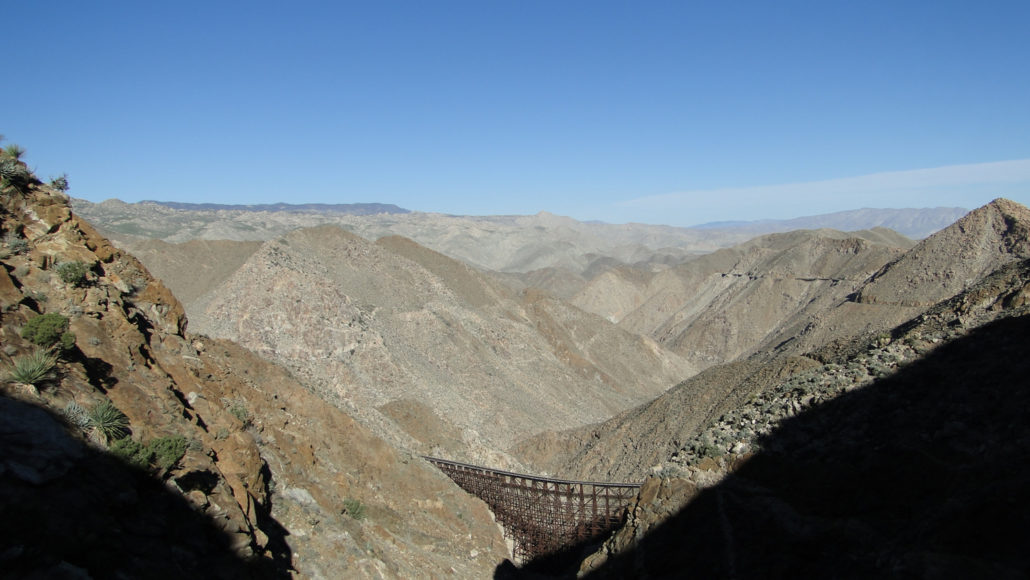
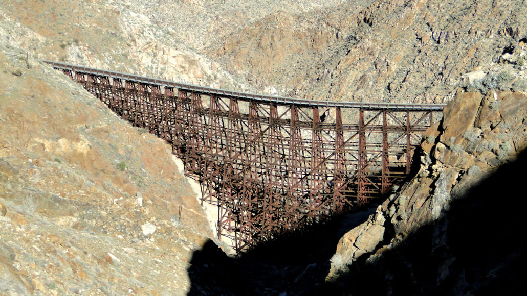
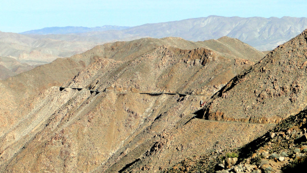
UPDATE 1/1/2018: I hiked this route on 12/30/2017, at which time I encountered a number of hiker-created route-finding gimmicks that have no place in the desert. Over the last two years, hundreds of cairns, pink ribbons marking the route, and even arrows drawn onto rocks have popped up. All of this is in direct violation of Leave No Trace principles. On that day we removed all of the cairns and most of the ribbons (some where deeply embedded into cholla). We also reported the arrows to the park, and hopefully somebody will be out there soon. I must emphasize that you SHOULD NOT HIKE THIS ROUTE if you are not comfortable with desert navigation. Do not attempt to leave cairns or ribbons to mark their way. If you have to rely on that kind of navigation, this hike is definitely not for you. Hikers, history buffs, and desert enthusiasts across San Diego County and SoCal revere a historic engineering curiosity that stands in splendid remoteness in a rugged corner of Anza-Borrego Desert State Park. The crown jewel of the Impossible Railroad, the Goat Canyon Trestle, spans a deep, rugged tributary canyon draining into the Carrizo Gorge north of the town of Jacumba. For many hikers, a pilgrimage to the trestle is both an essential rite of passage and a marvelous sight to behold. The Railroad threading the east wall of Carrizo Gorge So why did they put all of this effort into building a massive railroad trestle in the middle of nowhere? Back at the turn of the 20th century, businessmen sought a way to connect the then fledgling metropolis of San Diego with El Centro. Of course, to get between those two points, railroad lines would have to pass over the rugged natural barrier of the Jacumba Mountains. Rather than thread the railway line through this maze of granitic boulders, railroad engineers instead set their sites on the Carrizo Gorge. The geography of the gorge and subsequent construction was no picnic either. It took engineers 12 years to construct the railroad line through the gorge. The numerous tributary ravines
Trail Stats
9.5 km
670 m
1008 m
606 m
—
Photos
Trail photo
No caption provided.
Trail photo
No caption provided.
Trail photo
No caption provided.
Trail photo
No caption provided.
Trail photo
No caption provided.
Trail photo
No caption provided.
Trail photo
No caption provided.
Trail photo
No caption provided.
Trail photo
No caption provided.
Trail photo
No caption provided.
Trail photo
No caption provided.