3 min
Overview
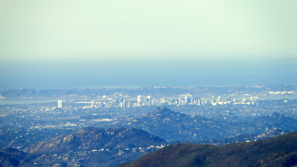
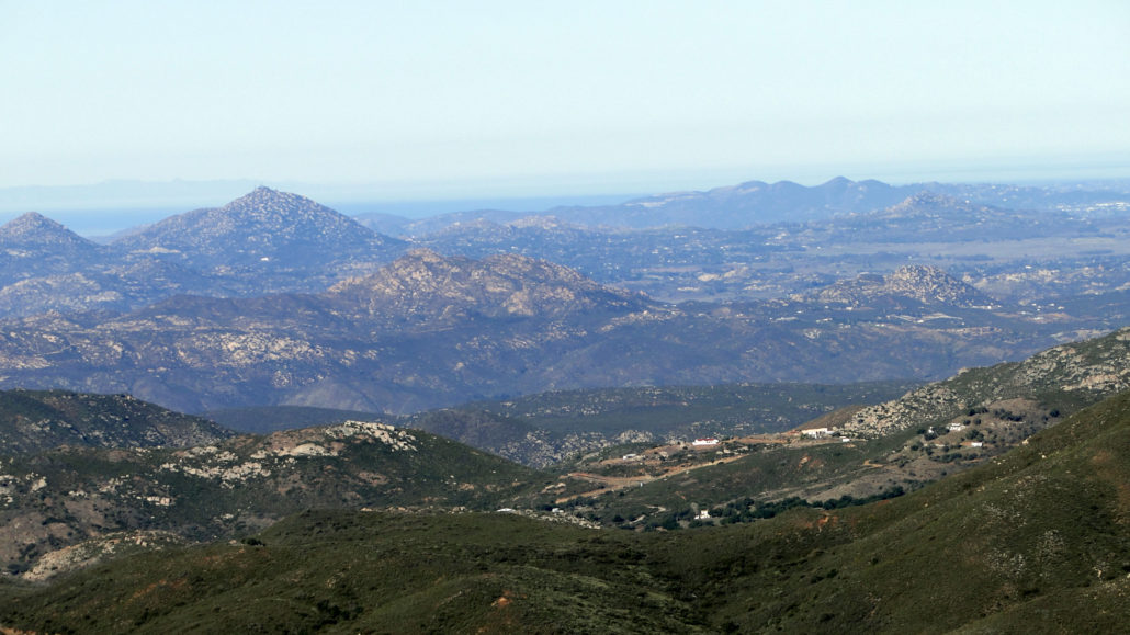
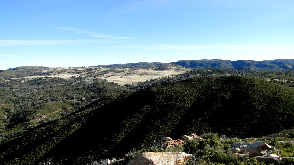
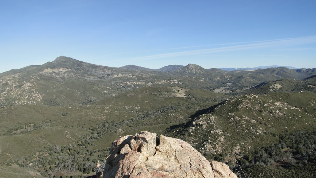
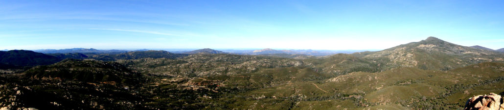
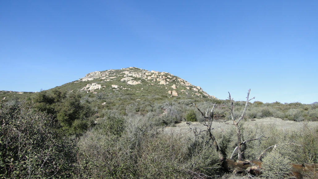
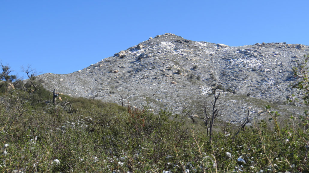
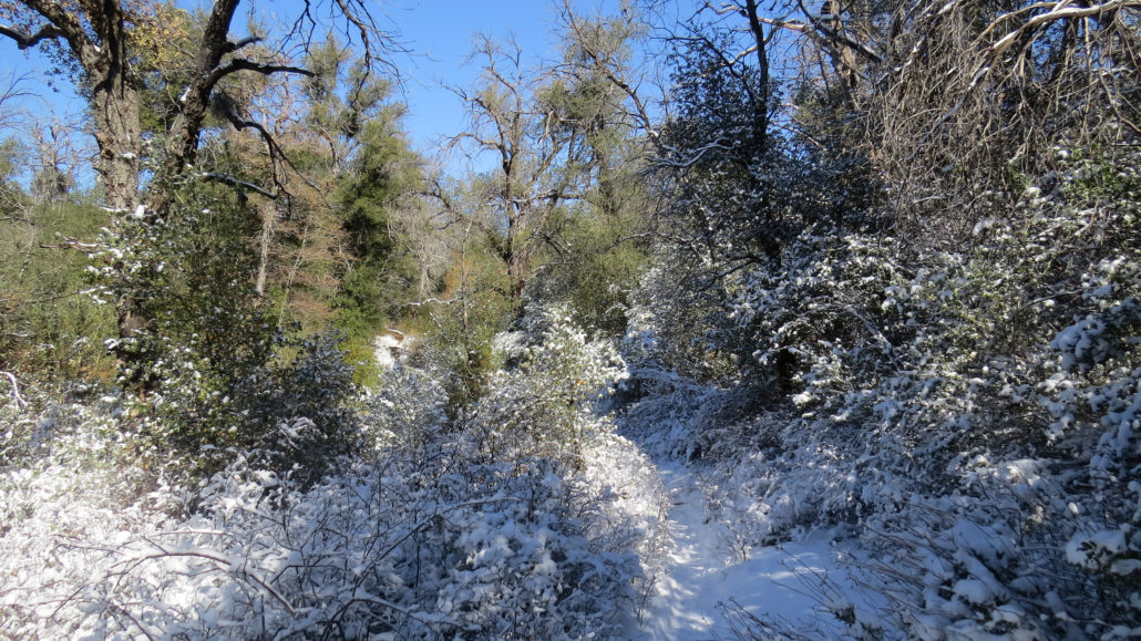
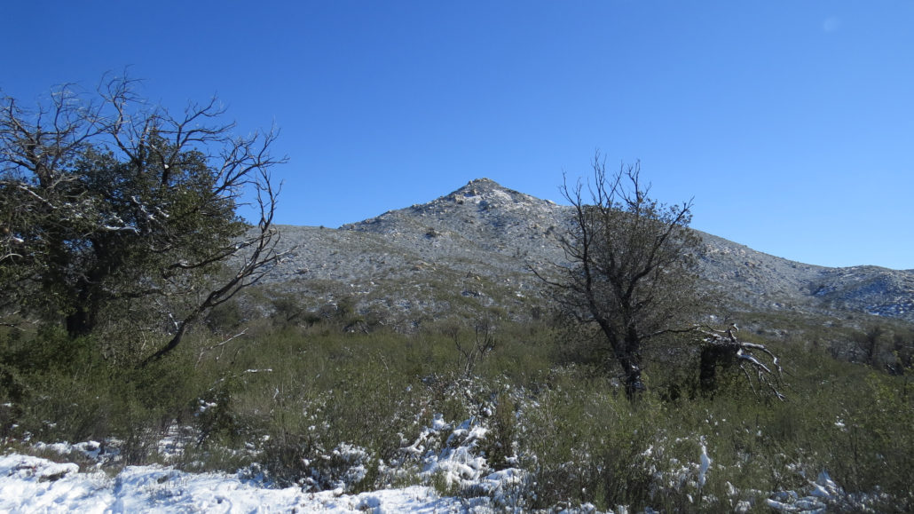
The curious moniker granted to this peak comes from a portmanteau combining the words “Oaks” and “Manzanita.” These two plant species grow in abundance on various parts of the peak, particularly on the north facing slopes. Although the 2003 Cedar Fire incinerated most of the vegetation, both the oaks (black, live, and scrub) and the manzanita have made a respectable comeback in the intervening years. Although Oakzanita Peak appears relatively unassuming when compared to nearby Cuyamaca and Stonewall Peaks, its height and location on the southern end of Cuyamaca Rancho State Park afford impressive views. From the rocky summit, an unobstructed 180 degree views spans much of the southern third of the county stretching out across urban San Diego toward the Pacific Ocean. Partially because Oakzanita Peak flies under the radar, the path up to the top receives a bit less traffic than some of the neighboring trails in the area. From the signed trailhead, follow the Lower Descanso Creek Trail. After a few dozen feet, keep to the right when you reach the junction with the East Side Trail. After one broad switchback and a crossing over usually dry Descanso Creek, the trail winds through the shade of coast live oaks in various stages of recovery from the Cedar Fire. After 0.7 mile of gentle climbing along the creek, the Lower Descanso Creek Trail terminates at East Mesa Fire Road. Turn right here, and follow East Mesa Fire Road for about 50 yards to the Upper Descanso Creek Trail that branches off on the right. The trail descends briefly to cross the trail and then continues following Descanso Creek until pulling away at 1.2 miles to begin climbing the northern flank of Oakzanita Peak. The trail follows a series of switchbacks on a moderate grade, ultimately leading to a saddle directly east from the peak. Most of the oaks grew along this section, and the fire incinerated most of them down to the ground. However, oaks possess a fire adaptation common to most Southern California chaparral/woodland species. New branches re-s
Trail Stats
5.7 km
304 m
1548 m
1081 m
—
Photos
Trail photo
No caption provided.
Trail photo
No caption provided.
Trail photo
No caption provided.
Trail photo
No caption provided.
Trail photo
No caption provided.
Trail photo
No caption provided.
Trail photo
No caption provided.
Trail photo
No caption provided.
Trail photo
No caption provided.
Trail photo
No caption provided.