3 min
Overview
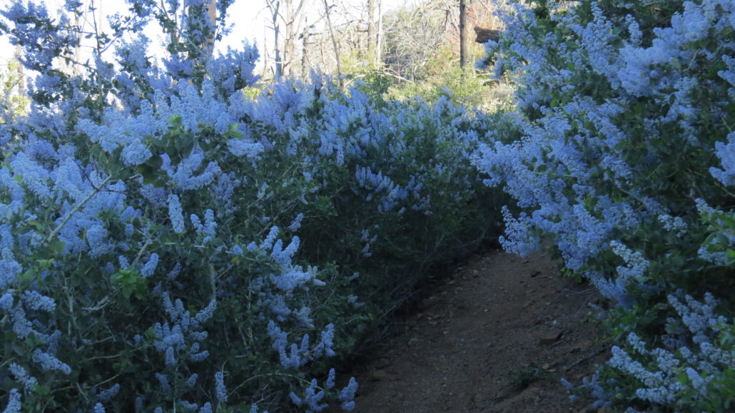
As the nascent city of San Diego began growing in earnest during the late 1880’s, citizens ran headlong into the one of the quintessential challenges of Southern California life: drinking water. The answer to this puzzle, at least long before SoCal began sipping from the Northern Sierra, was to create a reservoir in one of the wettest parts of San Diego County, the Cuyamaca Mountains. Engineers constructed a dam across Boulder Creek, which drained the northern half of the Cuyamaca Mountains. But given the fickle nature of Southern California precipitation, additional sources of water needed to be found to fill the new reservoir. The solution arrived in the form of a ditch that would collect run-off from the western flanks of North Peak and then shunt that water into the reservoir. In addition to the hydrology, the slopes of North Peak also provided lumber to blossoming mining towns during the same era. Astute observers may see old traces of the logging skids, but the 2003 Cedar Fire has obscured much of the evidence. As with most hikes in the Cuyamaca area, the Cedar Fire’s legacy looms large on the Kelly Ditch Trail. Most of the conifers and many of the oaks burned during the flames, and only the oaks are showing signs of staging a comeback. Here and there you may find sprouting conifers attempting to penetrate the dense thickets of ceanothus. Despite the lingering evidence of the devastation, the trail, which follows the old flume grade, remains beautiful in large part thanks to a few sublime sections and tremendous views. You can hike the route in one of several ways. First, you can arrange a shuttle with one car parked along Highway 79 on the north side of Lake Cuyamaca. Leave a second car at William Heise County Park, and complete the route as a 5.5 mile one-way route. Other hikers attempt the route as a much longer out-and-back hike from either end. Fair warning: regardless of which way you go, you will face a significant climb on the second half of the hike. This makes for an exhausting trip. You may be
Trail Stats
8.9 km
274 m
1571 m
1236 m
—
Photos

Trail photo
No caption provided.

Trail photo
No caption provided.
Trail photo
No caption provided.

Trail photo
No caption provided.
Trail photo
No caption provided.

Trail photo
No caption provided.

Trail photo
No caption provided.

Trail photo
No caption provided.

Trail photo
No caption provided.