2 min
Overview
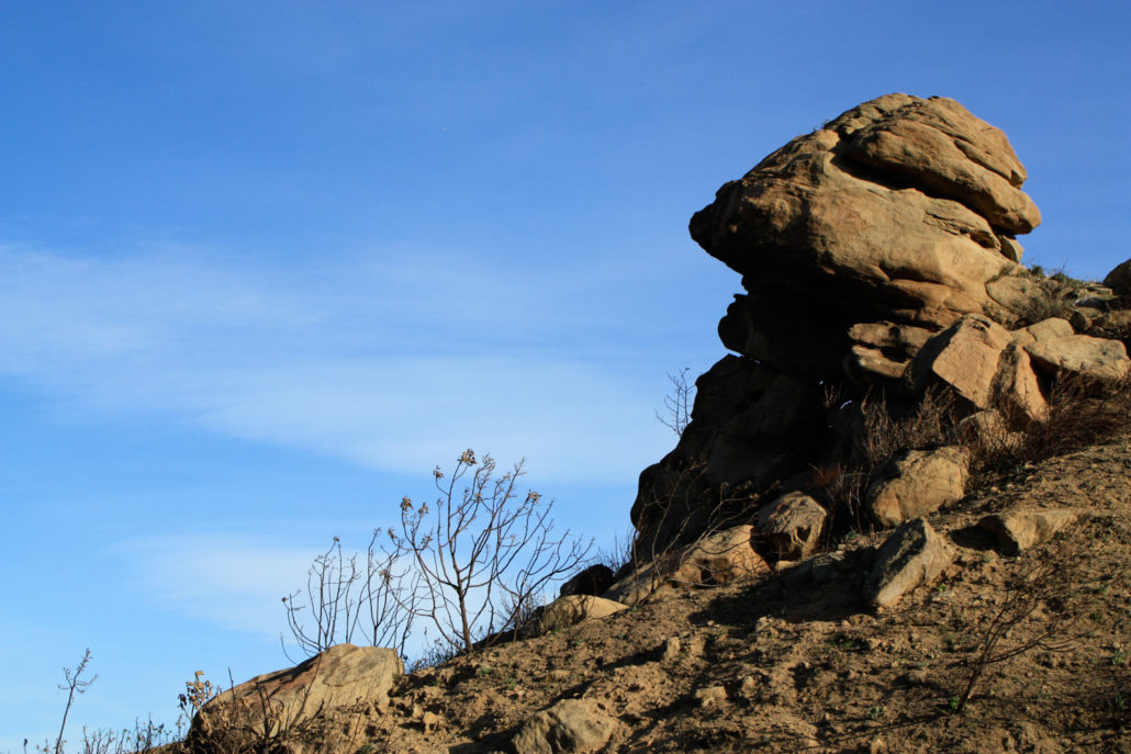
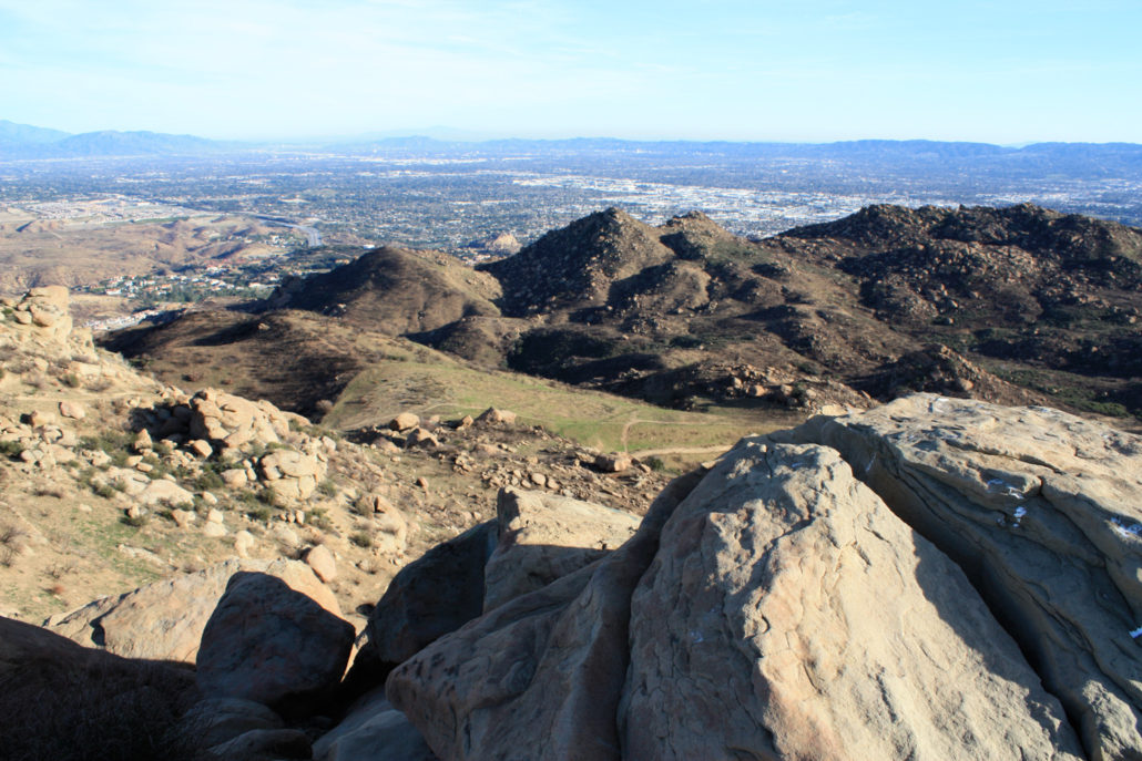
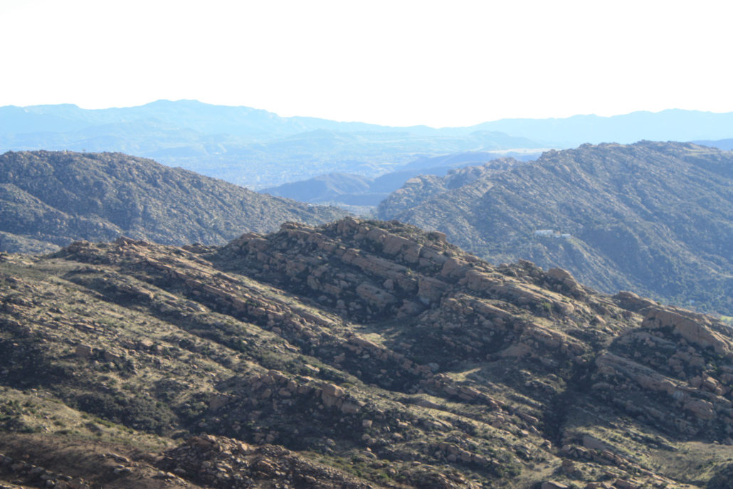
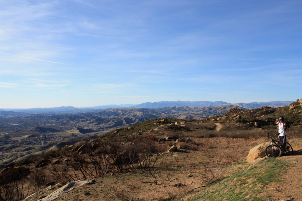
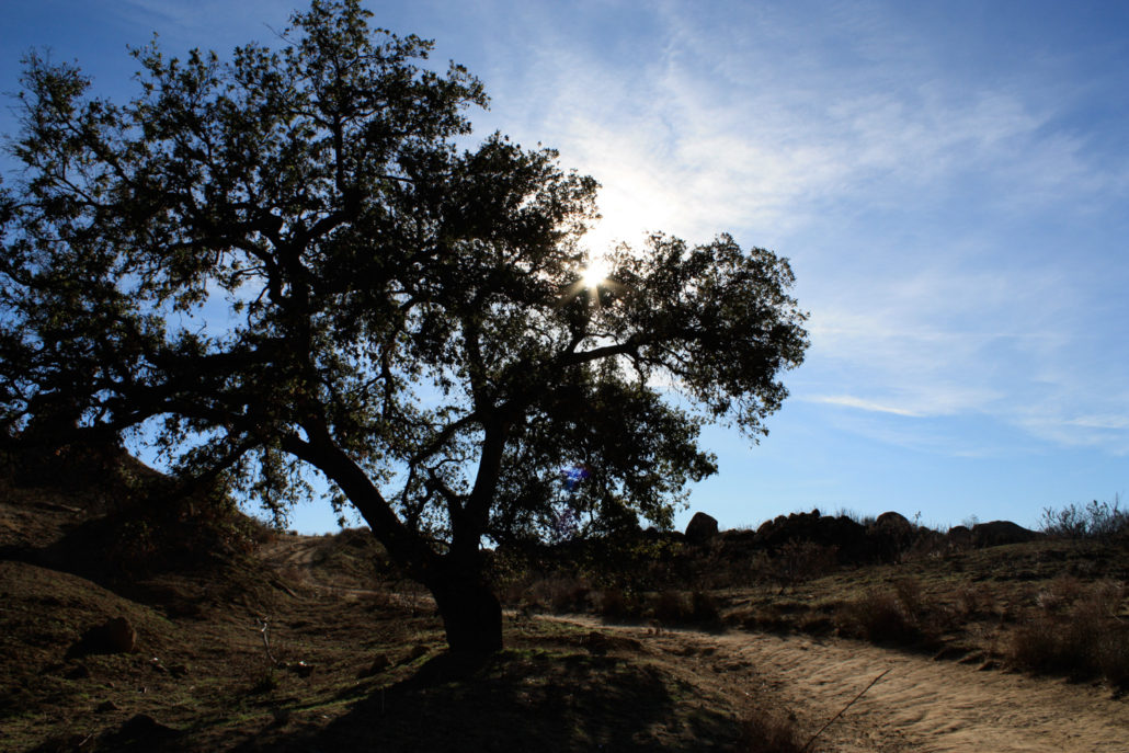
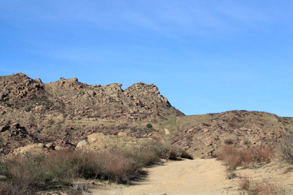
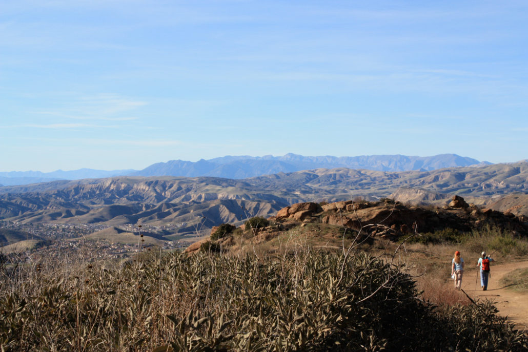
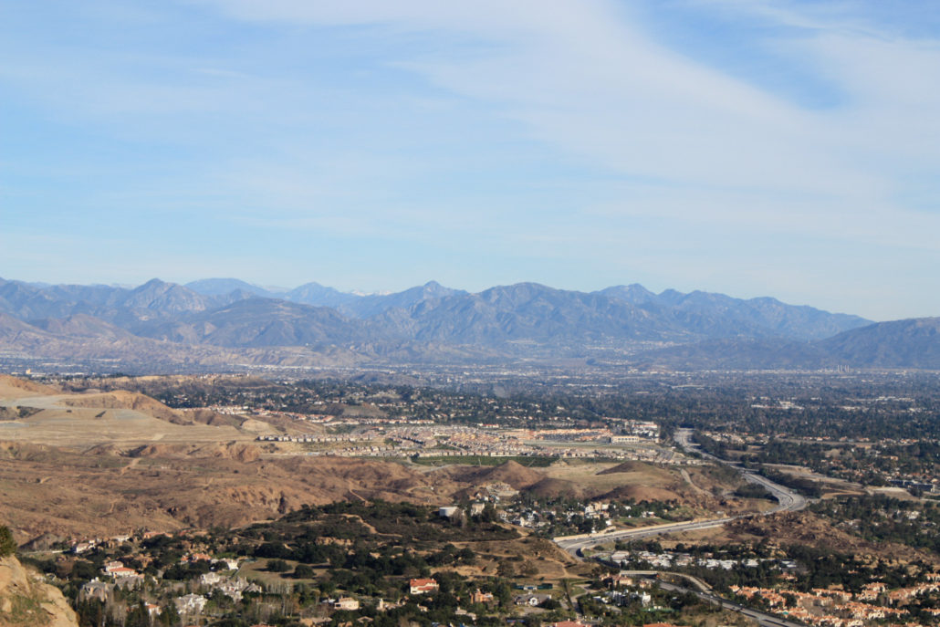
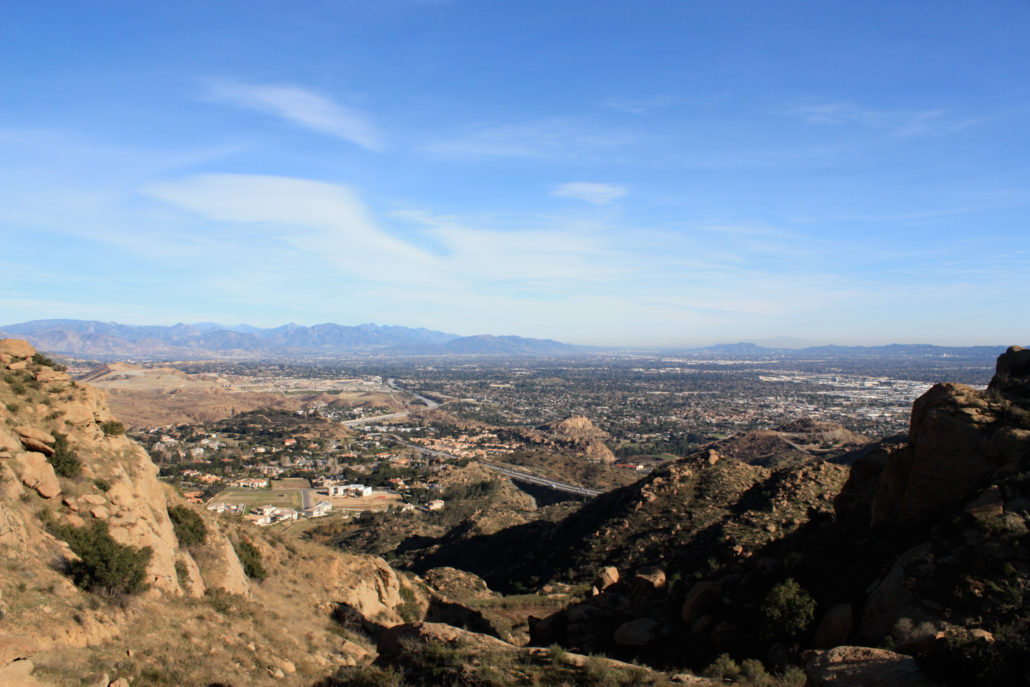
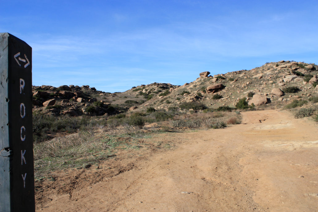
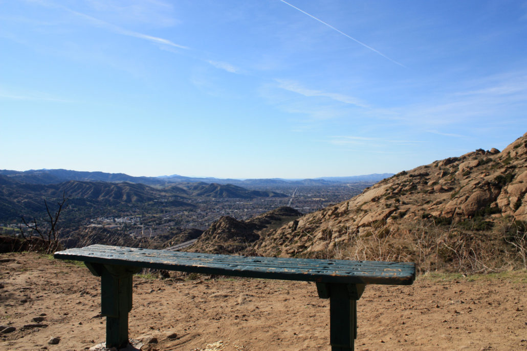
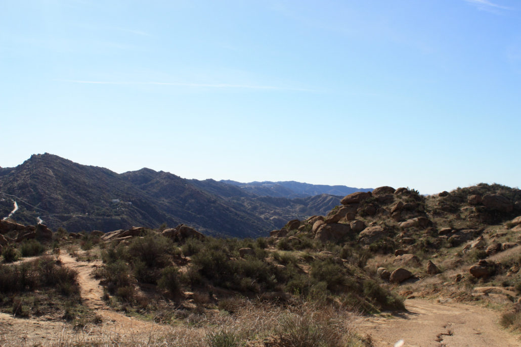
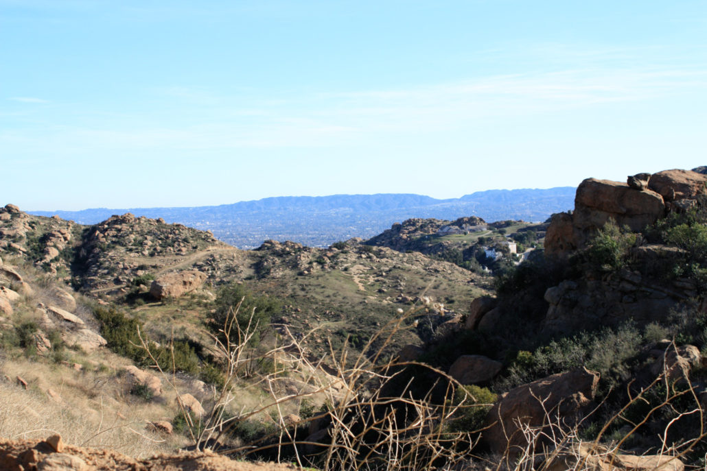
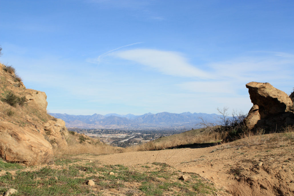
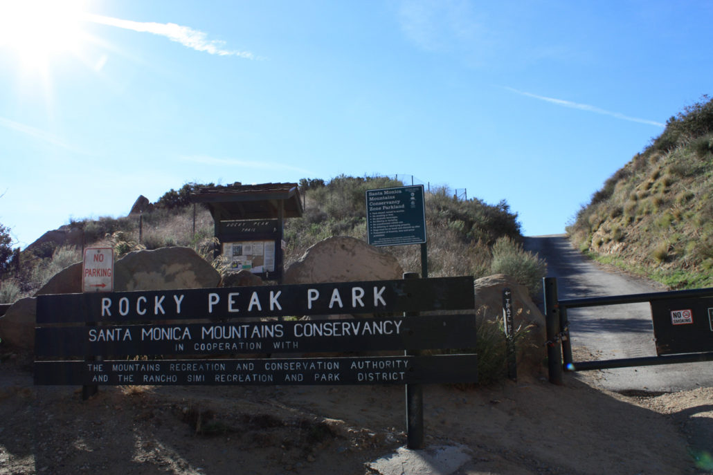
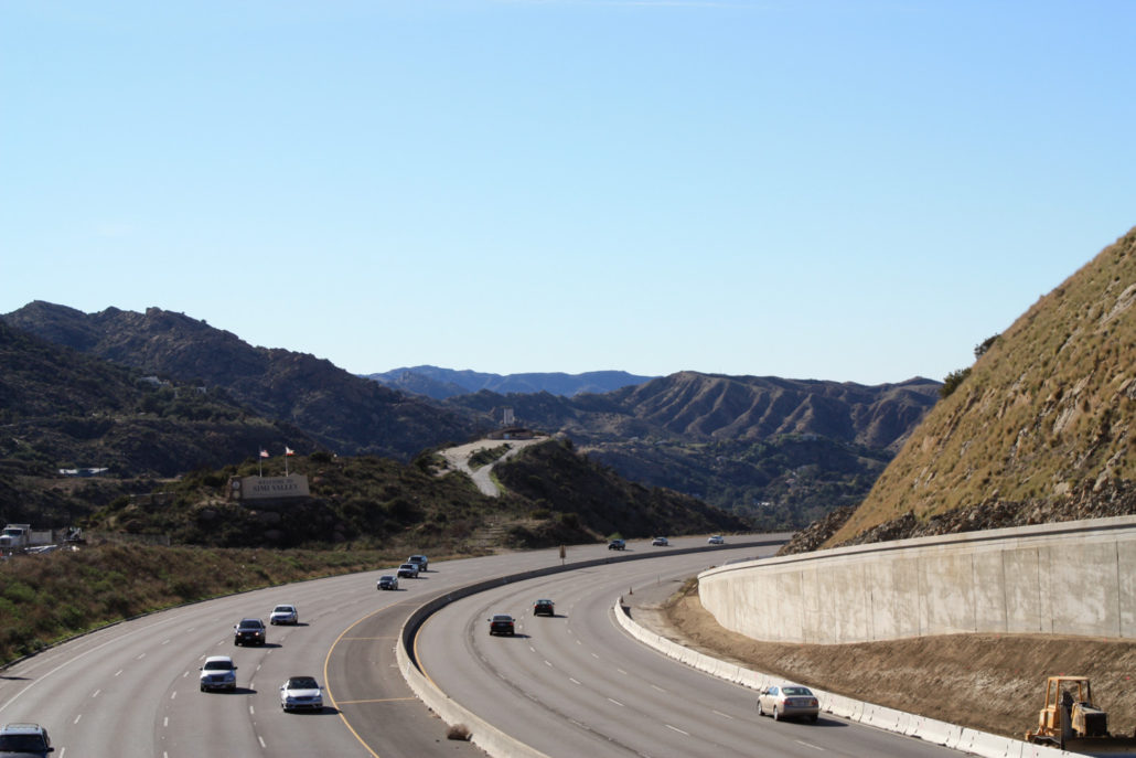
A moderate 5 mile hike along fire roads and trails, just outside Simi Valley. Easy trailhead access, interesting rock formations, and breathtaking vistas (when the air is clear), make this a great choice for an afternoon hike when you’re pressed for time. A reader wrote in to tell me about this trail, saying, “when you don’t have the time for a major hike, this can be a fun, quick adventure to get you out of the house.” It sounded pretty good from his description, but I was a bit skeptical when I arrived at the trailhead and found that it was directly next to the 118 Freeway. So close, in fact, that I had to walk across a bridge over the highway to get to the trail. Would a hike so close to a highway offer anything remotely close to a natural experience? The answer is a resounding yes. Even though Rocky Peak Park is located only a few feet from an off-ramp, the actual trail leaves this area quickly, ascending a small slope on a paved fire road. And even here, while you might be worried about having to hike on pavement, the tar gives way to a good ol-fashioned dirt fire road in just about 500 feet. … and, as you can see, it’s not just plain old boring dirt road, either — it’s eroded, uneven, and for the first 0.4 miles, moderately steep and dusty — which means it can get pretty slippery. Almost immediately on this trail, I was struck by three things — the absence of traffic noise, the amazing views (even early on, I could see deep into the San Gabriels), and the landscape itself, which seemed like it belonged in Joshua Tree and not here in the Santa Susana Mountains. At around this point in the trail, it looks like there is a 3-way junction with a few other dirt paths and fire roads. Just keep heading to the left, and you should be fine. If, however, you do decide to venture off the “correct” path, you’ll quickly dead-end, so you’ll still be fine. You’ll just add a little bit more distance to your hike that day. After this junction, the fire road isn’t as sandy, and footing is a bit more sound. At about 0
Trail Stats
8.1 km
341 m
820 m
473 m
—
Photos
Trail photo
No caption provided.
Trail photo
No caption provided.
Trail photo
No caption provided.
Trail photo
No caption provided.
Trail photo
No caption provided.
Trail photo
No caption provided.
Trail photo
No caption provided.
Trail photo
No caption provided.

Trail photo
No caption provided.
Trail photo
No caption provided.
Trail photo
No caption provided.
Trail photo
No caption provided.
Trail photo
No caption provided.
Trail photo
No caption provided.
Trail photo
No caption provided.
Trail photo
No caption provided.
Trail photo
No caption provided.
Trail photo
No caption provided.