4 min
Overview
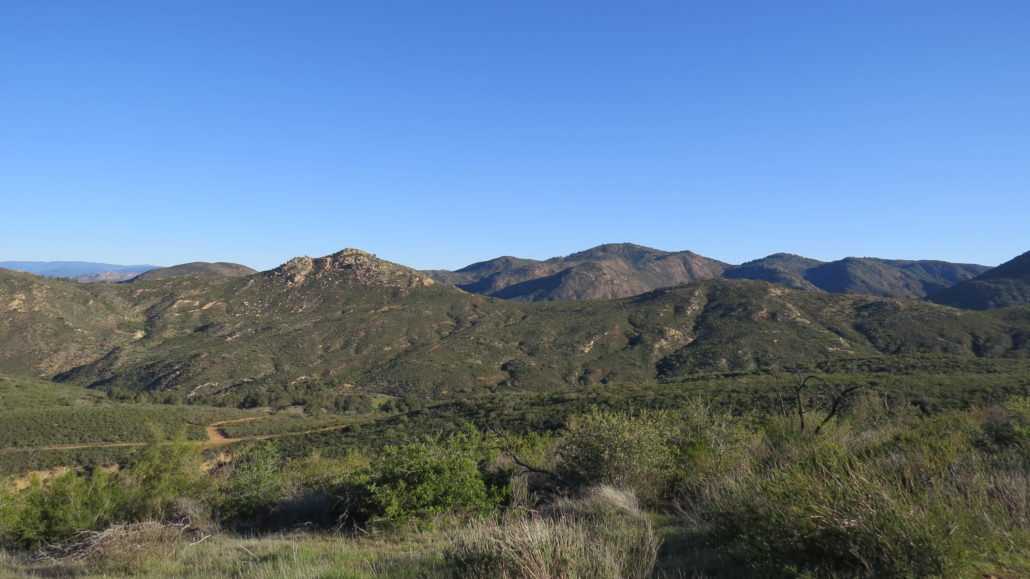
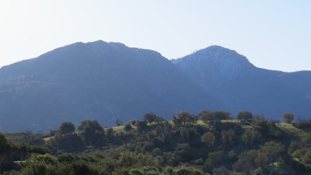
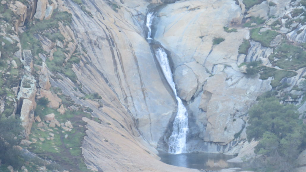
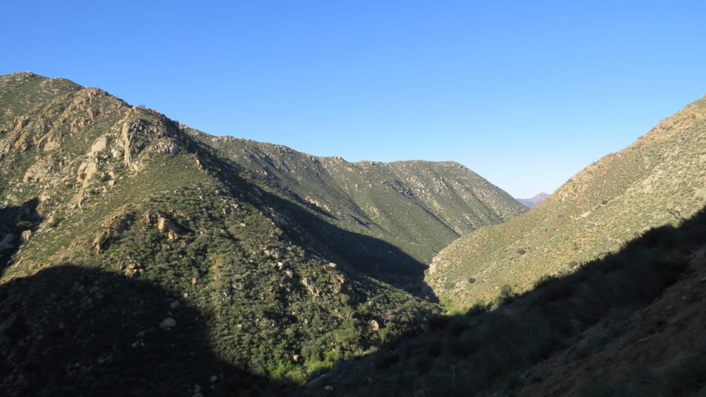
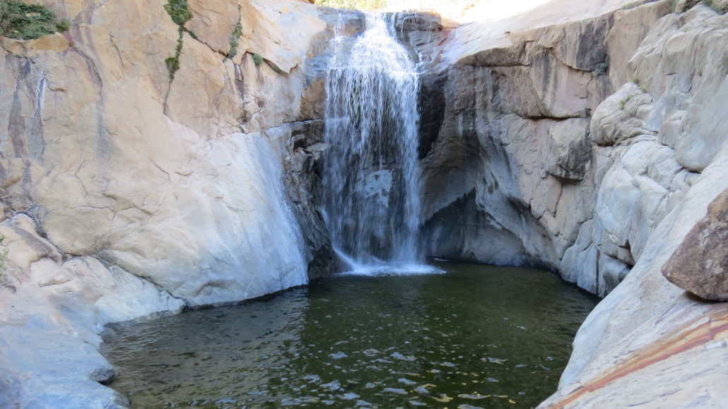
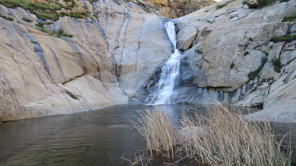
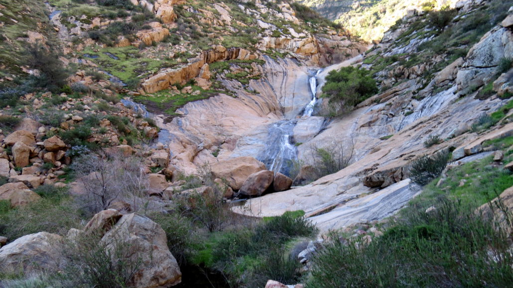
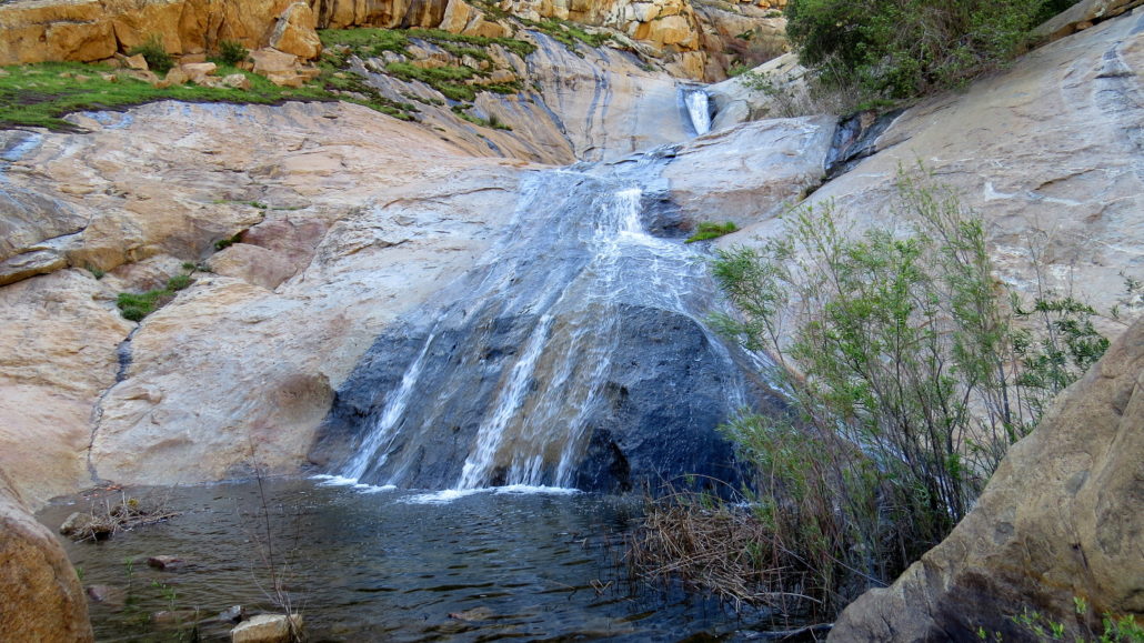
UPDATE (7/12/2017): Cleveland National Forest may close access to this trail during heat advisories (temperatures of 95 degrees or greater). Be sure to follow weather reports for the area days in advance (Ramona, Descanso), which is good practice no matter where you hike. Or better yet, call the Palomar Ranger District in advance of your visit to get an update on current conditions: (760) 788-0250. For a long time, I’ve debated whether or not to cover Three Sisters Falls for Modern Hiker. Sure, it’s an incredibly popular destination made justly famous by beautiful scenery. It is debatably the most beautiful waterfall in San Diego County. On the other hand, it is a magnet for irresponsible use, attracting unprepared hikers who occasionally find themselves ending their hikes with an expensive helicopter ride to an urgent care facility. This hike has become a major problem due to numerous injuries, rescues, and occasional fatalities. Perhaps you can appreciate the dilemma: Do I create another enticement that draws hikers to Three Sisters Falls, thus exacerbating the problem? Or, is this a platform for me to inspire and educate at least a few visitors to come prepared for what they will face? Boulder Creek The answer is ultimately both. Any further encouragement will probably add more volume to the already copious traffic down to the trio of cascades deep within Boulder Creek Gorge. However, you’d better believe I am going to load this write-up with all of the safety information you need and may not have known you needed. While I understand the magnetic pull of this magical destination, I cannot abide visitors who show up not knowing what they’re in for. The route to Three Sisters Falls is a user-created path that descends straight down a badly eroded, dangerously steep slope. When the trail does bottom out, it continues along another user-created trail through thickets of poison oak. While temperatures within the gorge are generally mild throughout the winter, summertime temperatures often exceed 100 degrees. Man
Trail Stats
7.6 km
335 m
899 m
581 m
—
Photos
Trail photo
No caption provided.
Trail photo
No caption provided.
Trail photo
No caption provided.
Trail photo
No caption provided.
Trail photo
No caption provided.
Trail photo
No caption provided.
Trail photo
No caption provided.
Trail photo
No caption provided.
Trail photo
No caption provided.