2 min
Overview
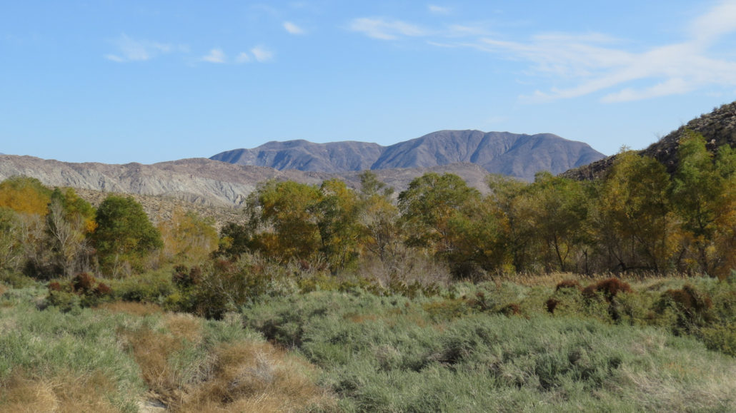
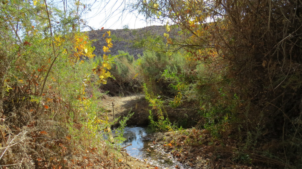
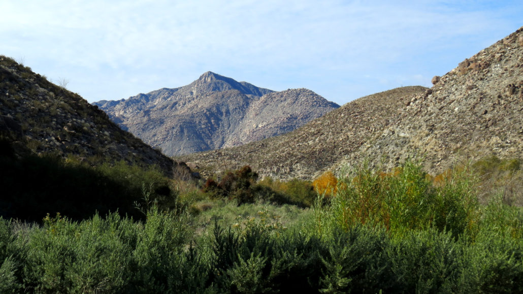
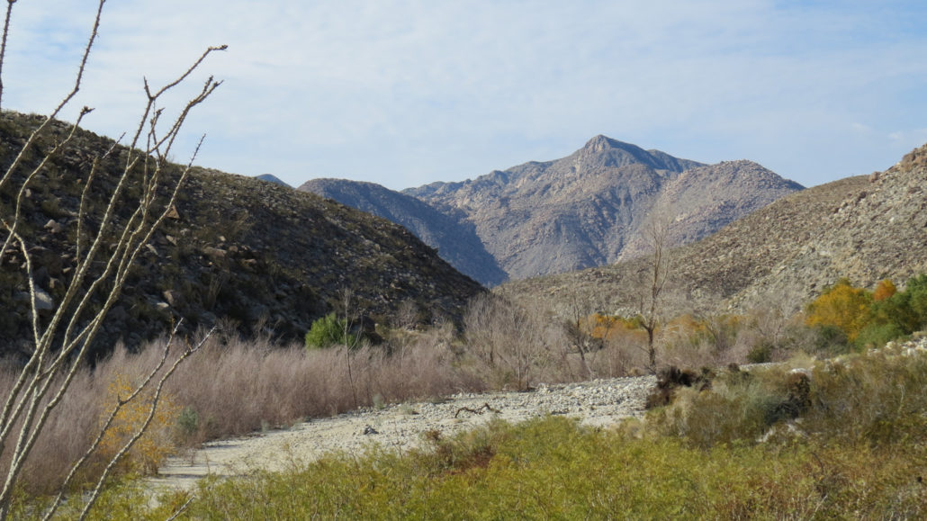
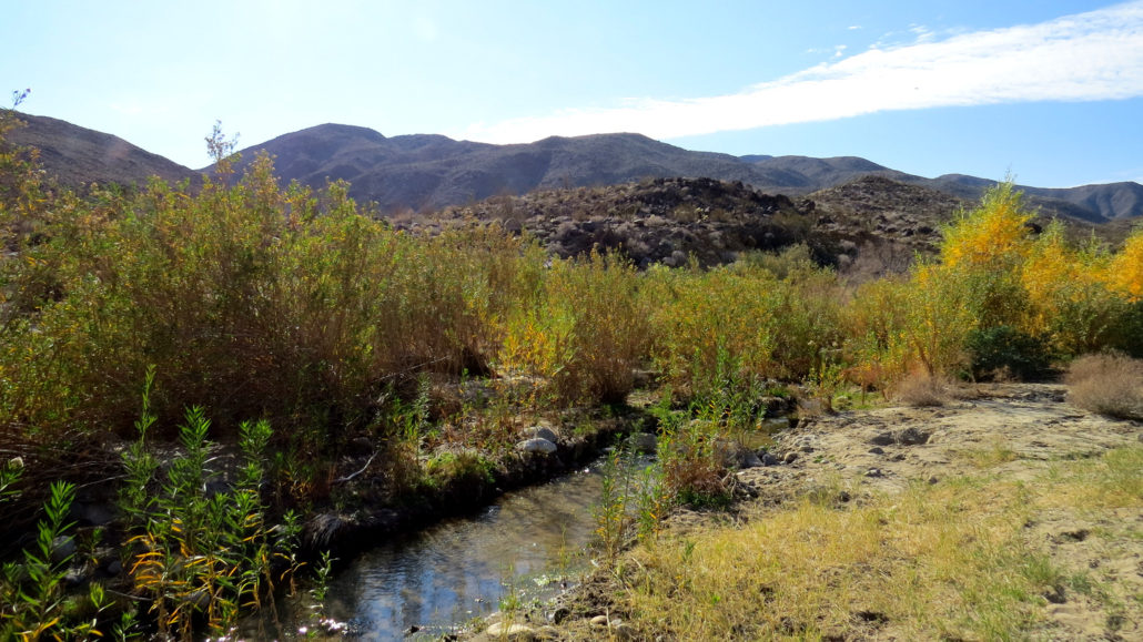
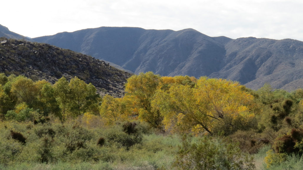
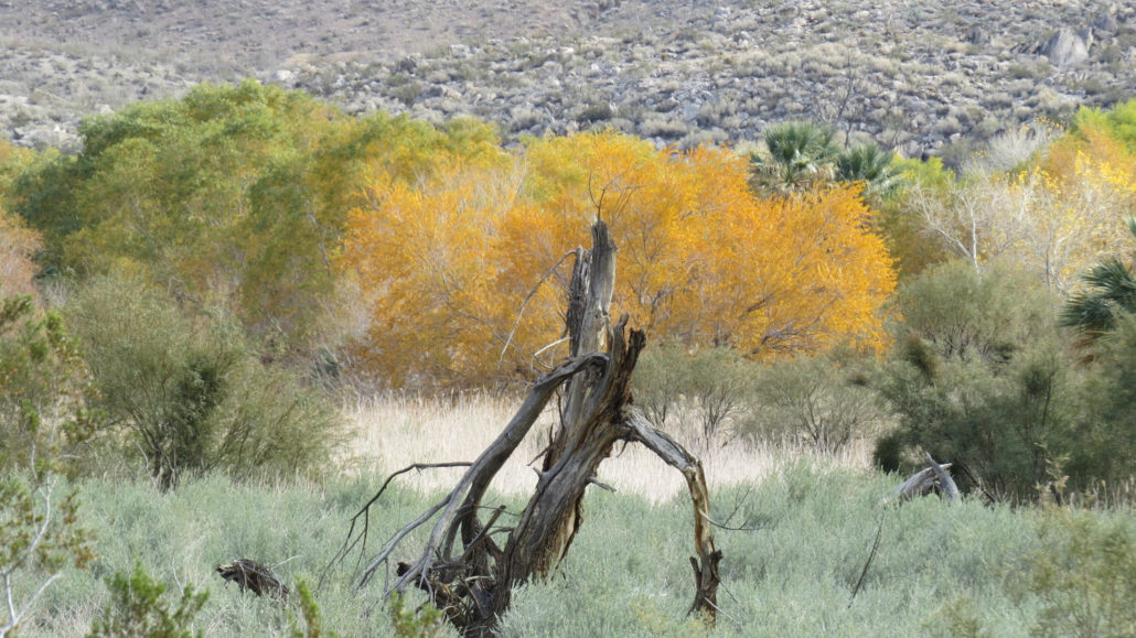
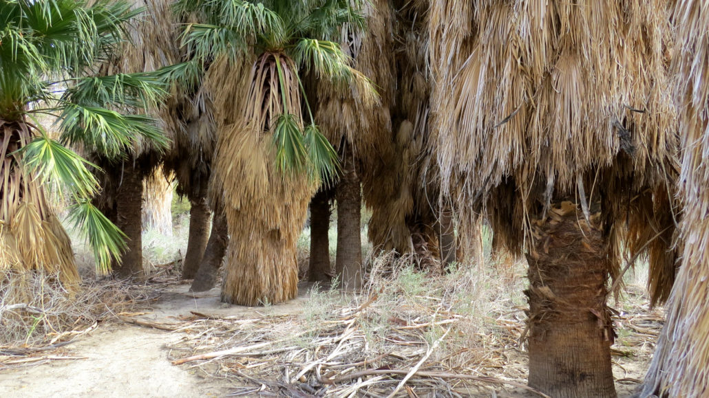
Suppose I suggested that you might benefit from wearing waterproof boots to avoid your feet becoming caked with mud at several creek crossings. Let’s also suppose that I suggest a high clearance vehicle because you may be required to drive across at least two, possibly three creek crossings with varying water levels. Your assumptions that I’m talking about a hiking in the Pacific Northwest would be valid, provided you hadn’t already looked at the above trip information describing a hike in Anza-Borrego Desert State Park. How is it that a place as infernally dry as Anza-Borrego has such an abundance of water that Coyote Creek is one of the few waterways in San Diego County that has never run dry? The answer lies in Santa Catarina Spring. The spring encompasses several acres of marshland that nourish a vibrant riparian jungle of willows, cottonwoods, and California fan palms while giving birth to the creek. Santa Catarina Spring sits atop a spot on the San Jacinto Fault, a major strike slip fault the underlies the rift between the San Ysidro Mountains and the Santa Rosa Mountains. Like many of the other springs in the region (Borrego Palm Canyon, Mountain Palm Springs, Warner Springs, etc), the springs rise up from underground aquifers through the fractured earth to the surface, at which point it transforms the landscape beyond recognition. As the name Lower Willows implies, other springs along the San Jacinto Fault in Coyote Canyon support such vegetation and Middle and Upper Willows further north. As one would expect, the presence of water would be a powerful attractor to humans and wildlife alike through the ages. The ancient Cahuilla inhabited the areas around the springs, and upon the arrival of European explorers and settlers, including Juan Bautista de Anza, the area attracted notice and settlement immediately. Just as humans seek out water in the desert, wildlife thrives in the area. Birding is fantastic along this route, with several endangered species such as Least Bell’s vireo inhabiting the riparian j
Trail Stats
3.5 km
106 m
411 m
356 m
—
Photos
Trail photo
No caption provided.
Trail photo
No caption provided.
Trail photo
No caption provided.
Trail photo
No caption provided.
Trail photo
No caption provided.
Trail photo
No caption provided.
Trail photo
No caption provided.
Trail photo
No caption provided.
Trail photo
No caption provided.

Trail photo
No caption provided.