2 min
Overview
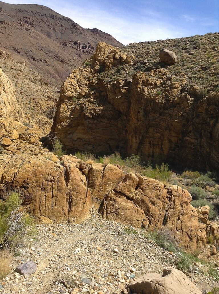
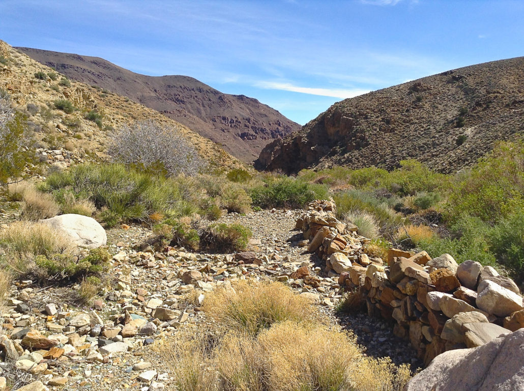
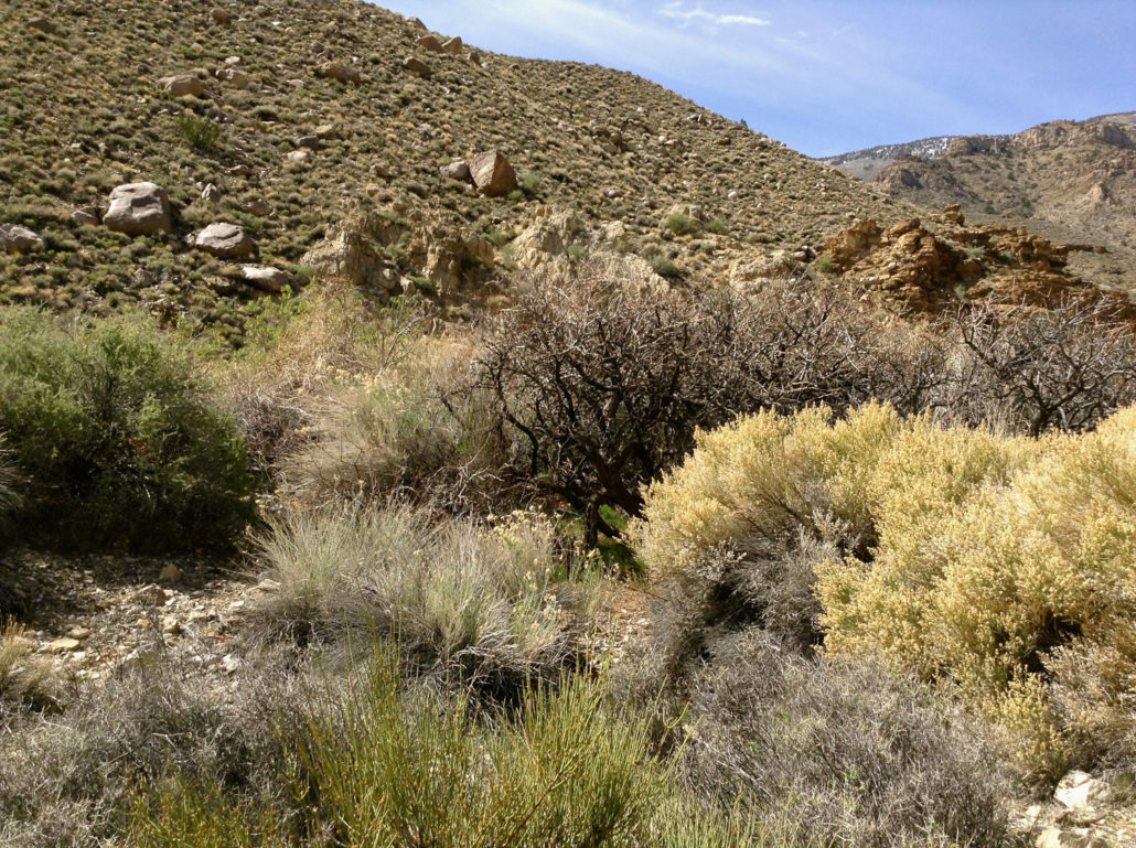
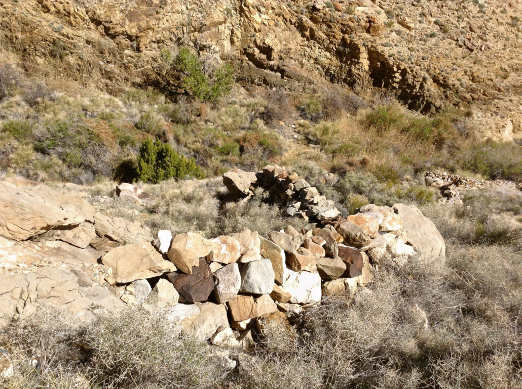
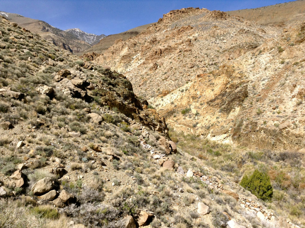
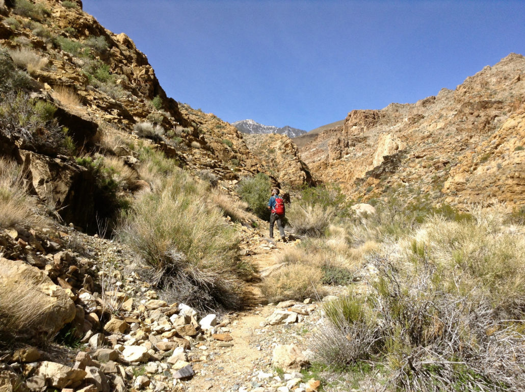
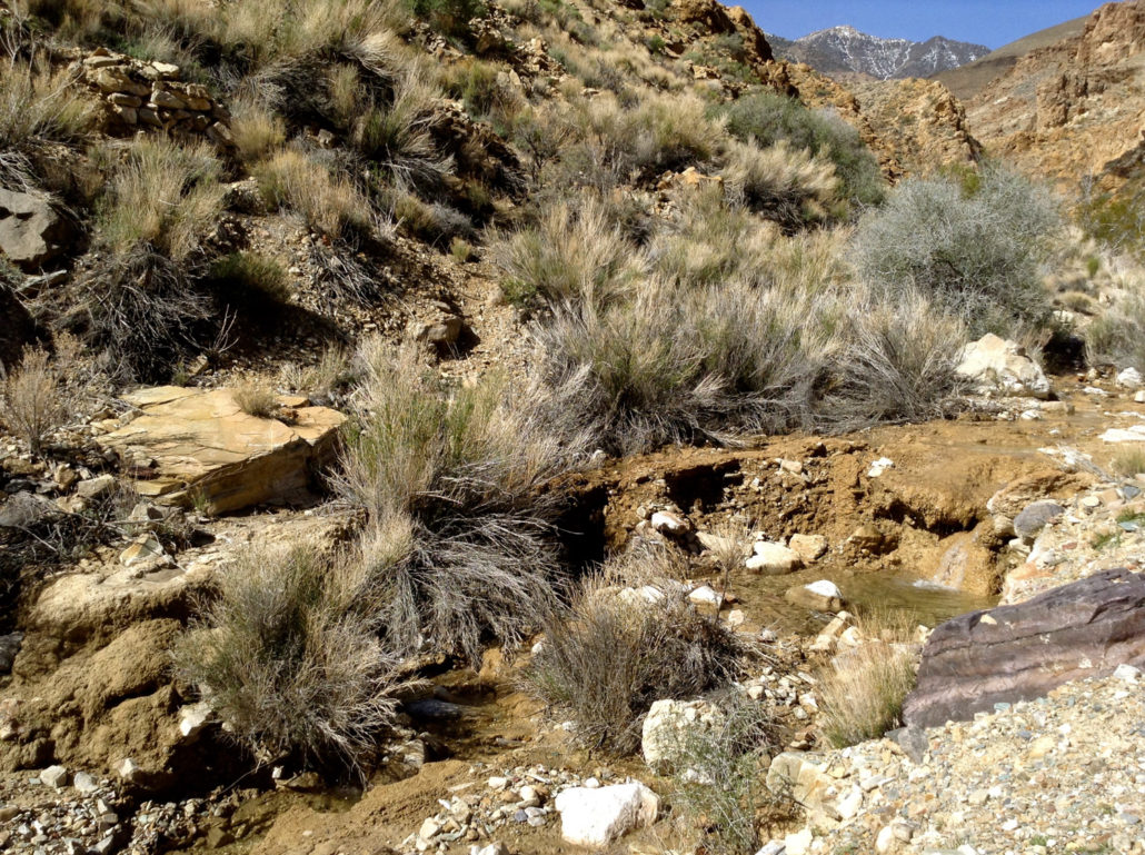
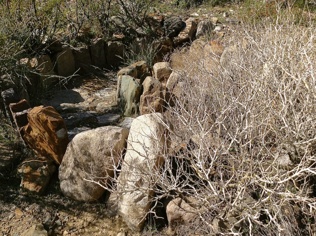
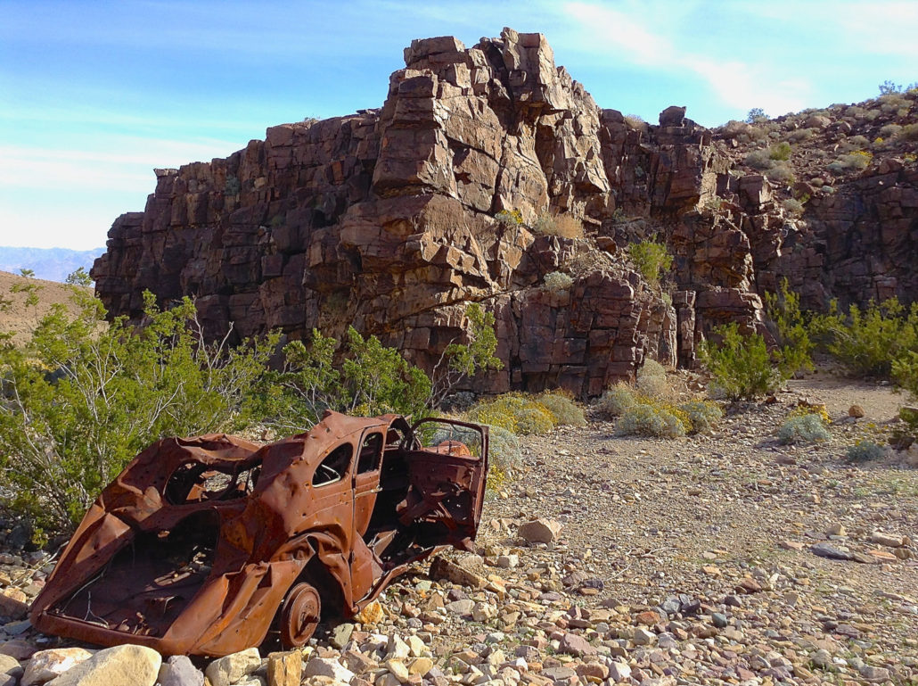
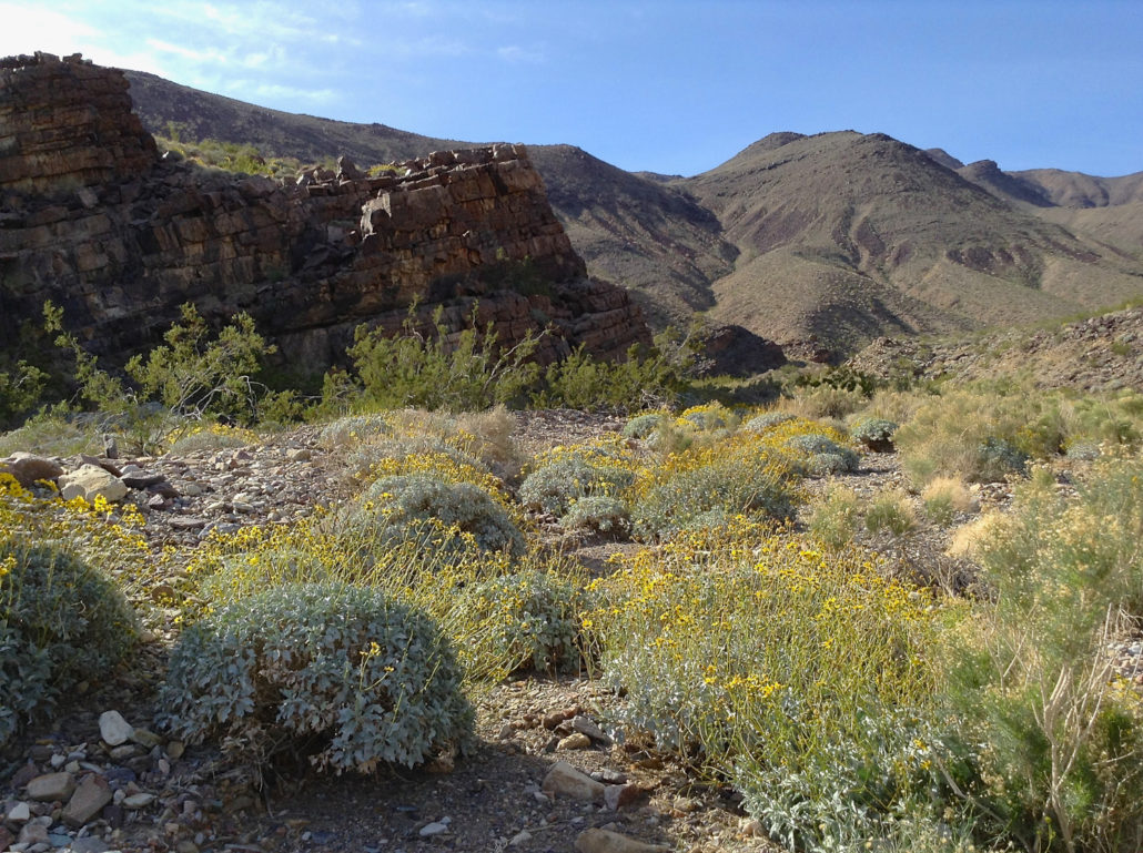
Hungry Bill’s Ranch is located in Johnson Canyon, one of the most well-watered canyons in Death Valley. Its lush springs and perennial stream snake through soaring canyon walls leaving behind the rocky alluvial fan that spills from the canyon mouth down to Death Valley’s salty floor. A rocky 4WD road crawls up to the canyon mouth and trailhead and makes getting here half the battle or half the fun, depending how you look at it. An old car marks a scenic backcountry campsite along the Johnson Canyon Road. Because water is so precious in Death Valley, its presence can indicate a colorful history, and Johnson Canyon is no exception. Johnson Canyon was the site of a Shoshone ancestral village and was still very much in use by the native Shoshone when rancher William Johnson moved in and established a ranch in the 1870’s. He built irrigation channels and terraces and planted beans, squash, melons, corn, and fruit and nut orchards. His enterprise was motivated by the unruly mining camp of Panamint City, five miles over the Panamint Pass on the western side of the mountain range. Johnson sold fresh vegetables via the “fresh vegetable route” leading over the pass. The lawless silver camp swelled to over 2,000 inhabitants at its highest point but ultimately dwindled as veins played out and the town was devastated by a flood. Johnson abandoned the ranch. Wildflowers along the Johnson Canyon Road. Some years later Hungry Bill, a Shoshone man known for his insatiable appetite, returned to his tribe’s former lands with his family and cleared more acres, planted more trees, and tended the gardens. Johnson’s ranch had been built on the site of Puaitungani, one of at least five main Shoshone villages still in use in the southern half of Death Valley. The family lived at the ranch until Hungry Bill’s death around 1919. Steeped in history and teeming with natural beauty, Hungry Bill’s Ranch is worth the effort. The stream from Wilson Spring. The road to the mouth of Johnson Canyon ends at scenic Wilson Spring marked by wi
Trail Stats
6.0 km
241 m
1395 m
1146 m
—
Photos
Trail photo
No caption provided.
Trail photo
No caption provided.
Trail photo
No caption provided.
Trail photo
No caption provided.
Trail photo
No caption provided.
Trail photo
No caption provided.
Trail photo
No caption provided.
Trail photo
No caption provided.
Trail photo
No caption provided.
Trail photo
No caption provided.