2 min
Overview
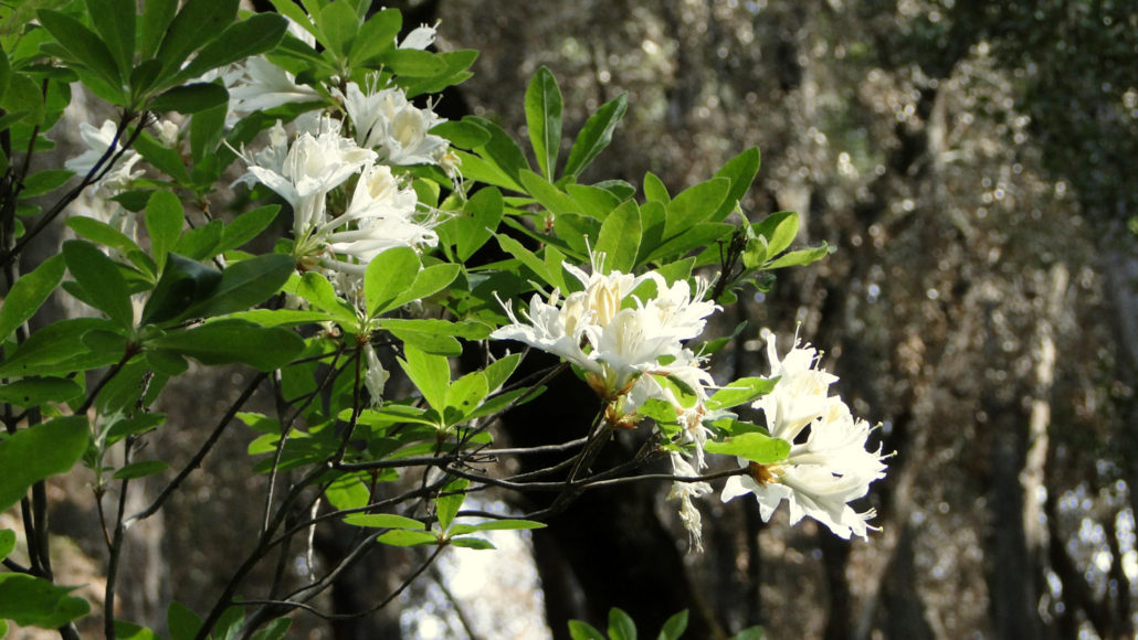
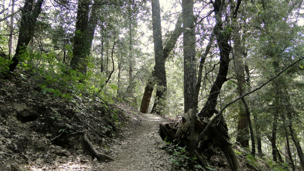
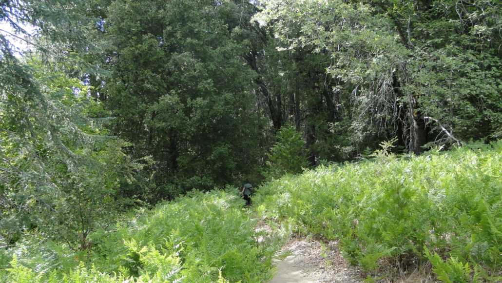
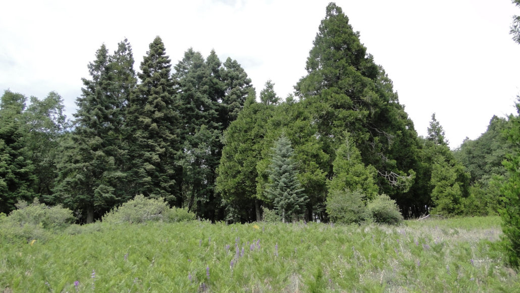
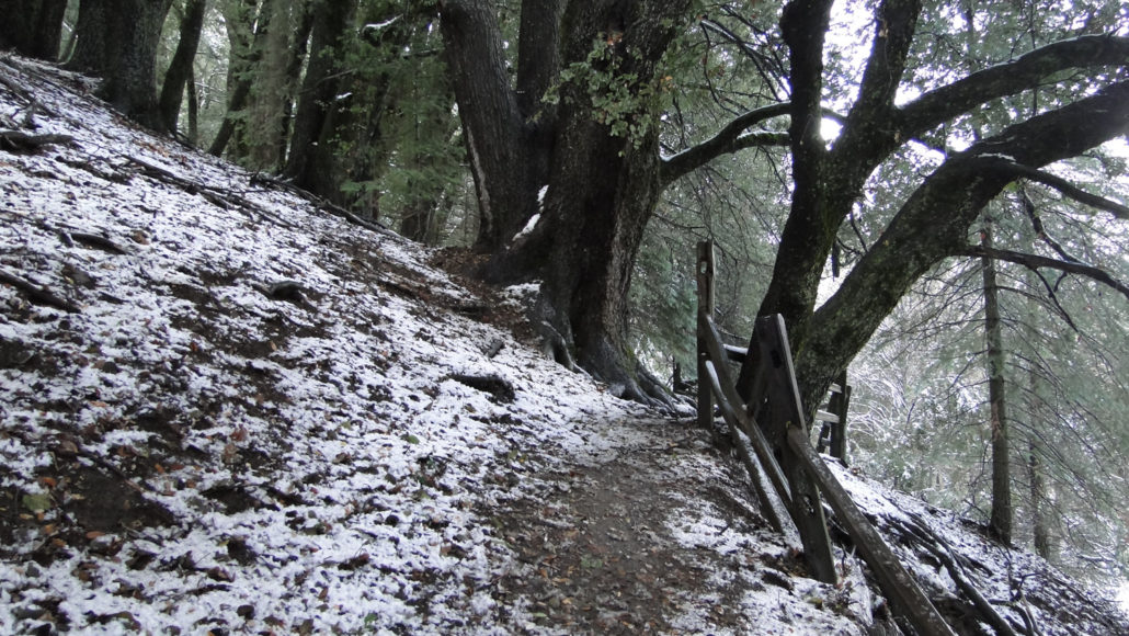
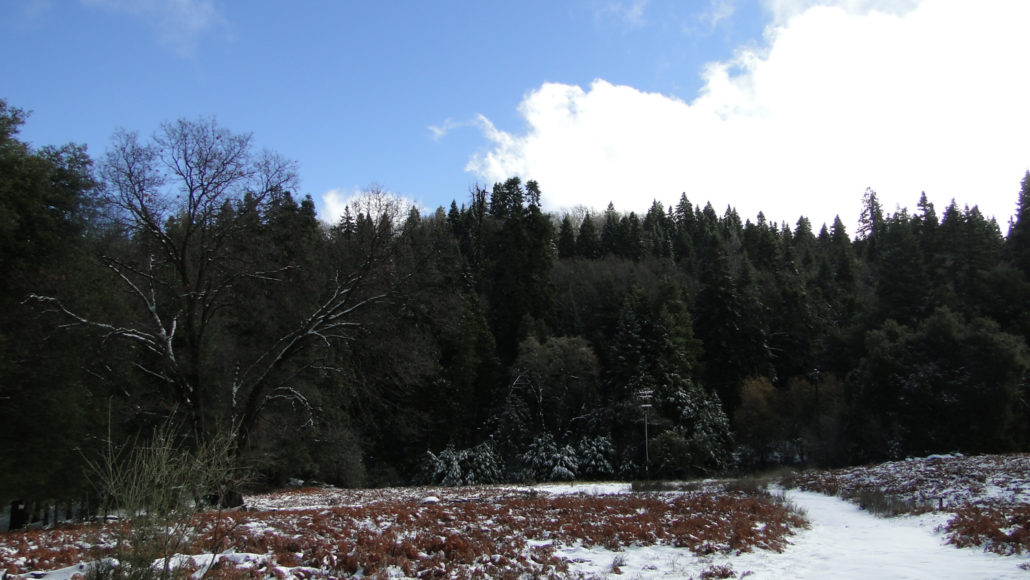
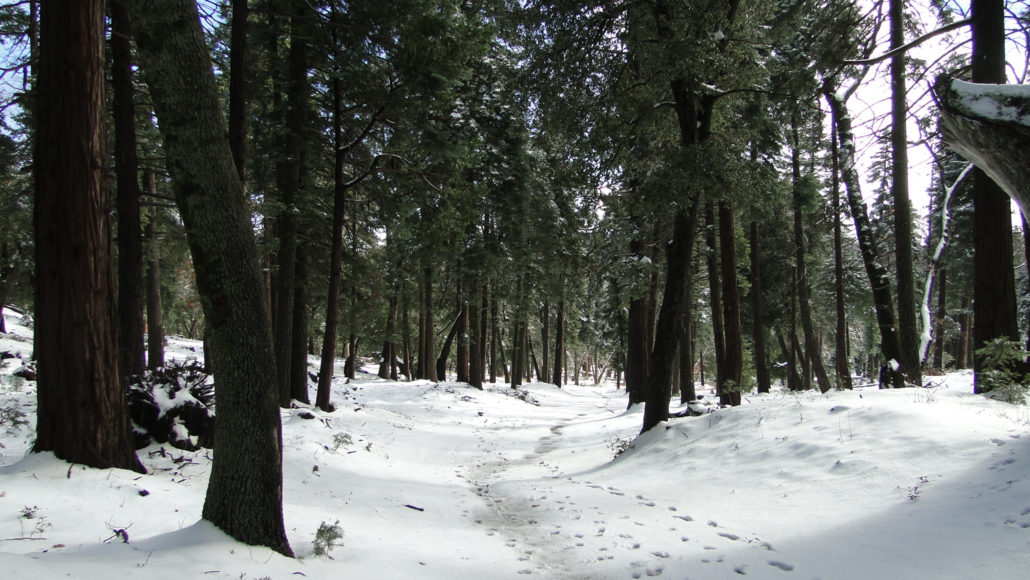
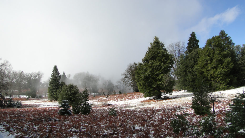
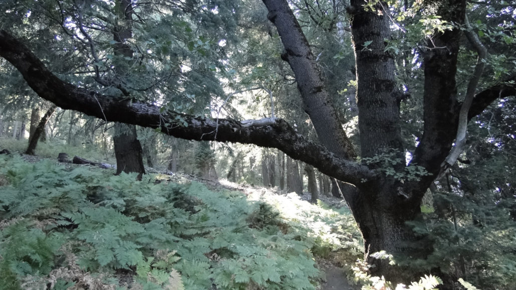
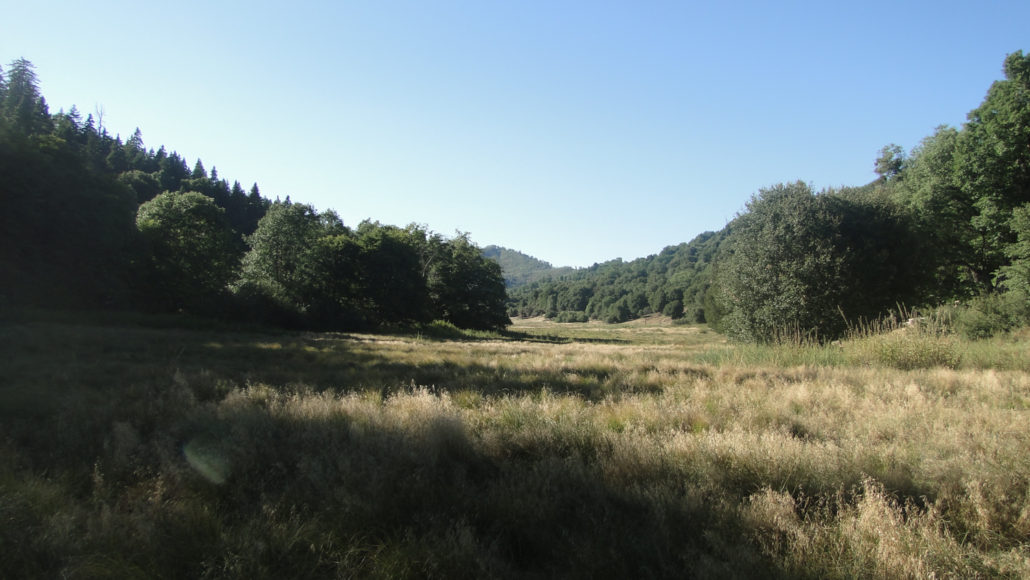
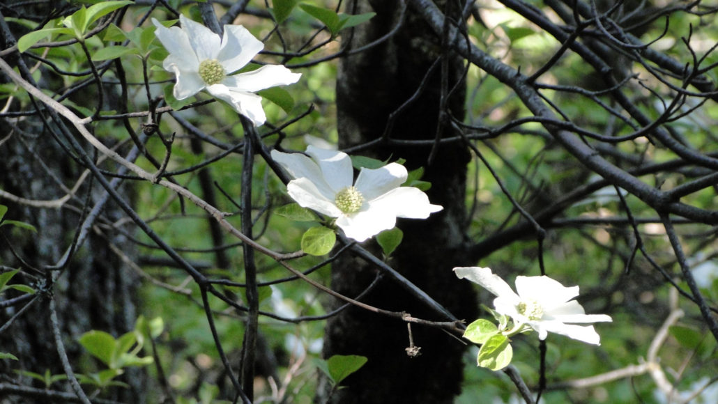
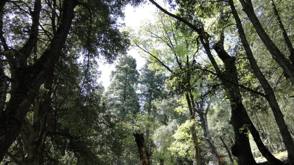
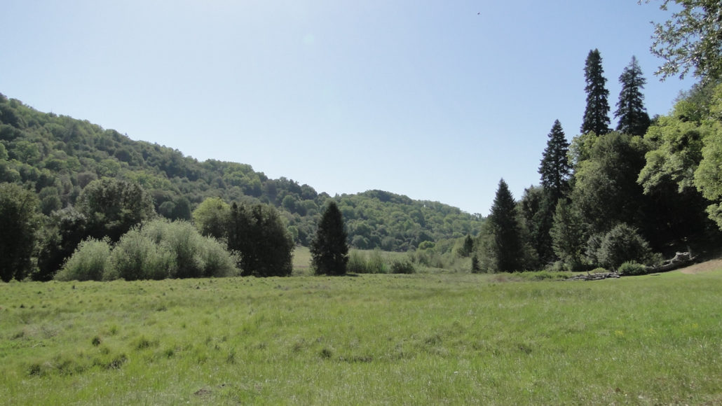
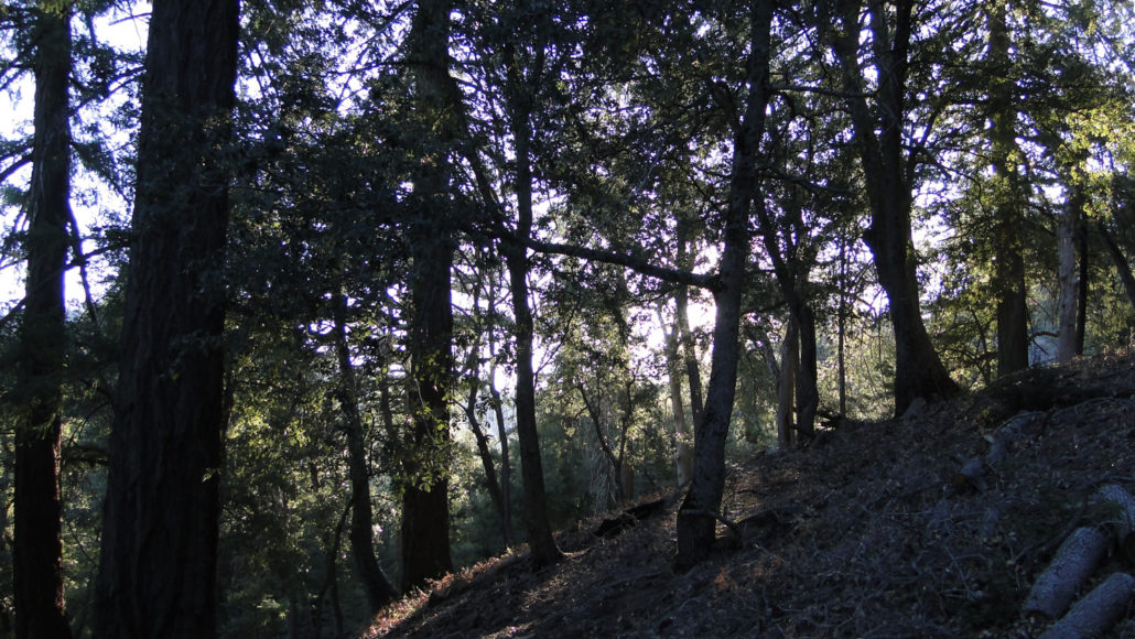
The Thunder Spring and Chimney Flat Loop is the second of a trio of short hikes within Palomar Mountain State Park. Each of these loops is included in a larger and more comprehensive loop through the park. However, since not everybody is keen on a nearly 9 mile loop, these smaller loops offer a more digestible “taste” of the park while visiting a handful of notable landmarks. The Thunder Spring and Chimney Flat loop travels along the western edge of Upper Doane Valley before climbing up a dense ravine featuring rare Pacific dogwoods and Western azaleas before emerging upon the fern-bedecked meadow known as Chimney Flat. The trail then continues along Thunder Ridge, where it passes through dense forest before emerging upon a meadow that also contains an ancient apple orchard that still produces fruit. Finally, the trail passes the site of Scotts Cabin and before dropping back to Doane Pond via the steep and poison oak-strewn Cedar Trail. Doane Pond in December Thunder Spring Trail Beginning at the Doane Pond parking lot, follow the access trail to Doane Pond and make a right to cross over the bridge to loop around the banks of the pond, which is a popular destination with fishermen and picnickers. Continue past the pond to enter a woodland of black oak, canyon live oak, white fir, incense cedar, and alders with a lush understory of ferns as you travel along the west bank of Doane Creek. The numerous black oaks along this trail provide an excellent opportunity for viewing fall foliage during November when the tree’s leaves turn a brilliant gold. The trail will pass into and then out of the forest to enter a narrow meadow. To the left, Doane Creek will trickle along quietly beneath the shade of white alders. Doane Creek is partially fed by nearby Thunder Spring, which you will reach shortly. The spring does not get its name from any noise it produces due to its copious volume. In fact, the spring rarely gushes unless there has been heavy rain. The name comes from the ridge below which the spring lies. Thunder Ridg
Trail Stats
6.4 km
274 m
1642 m
1398 m
—
Photos
Trail photo
No caption provided.
Trail photo
No caption provided.
Trail photo
No caption provided.
Trail photo
No caption provided.
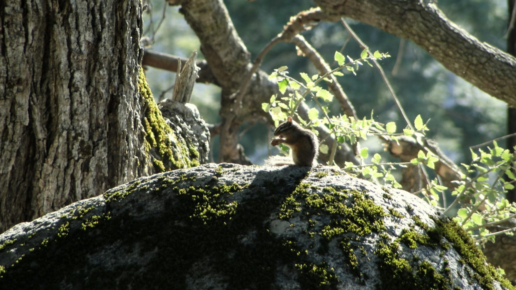
Trail photo
No caption provided.
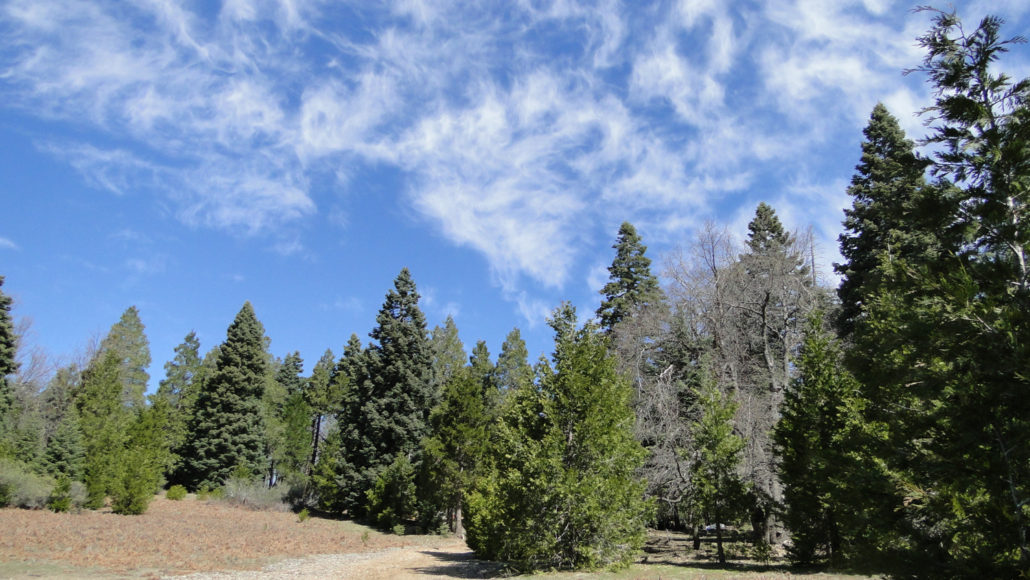
Trail photo
No caption provided.
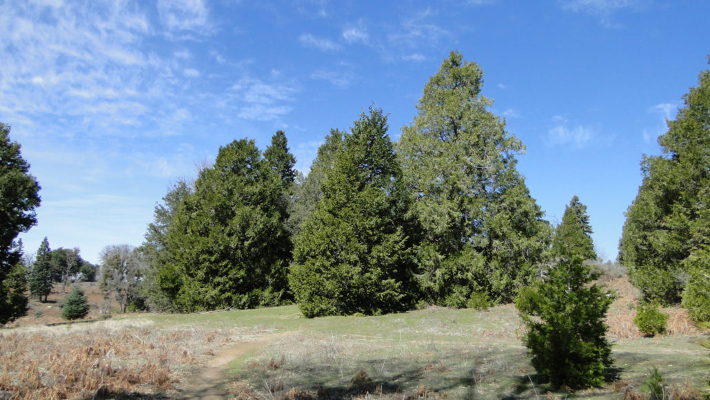
Trail photo
No caption provided.
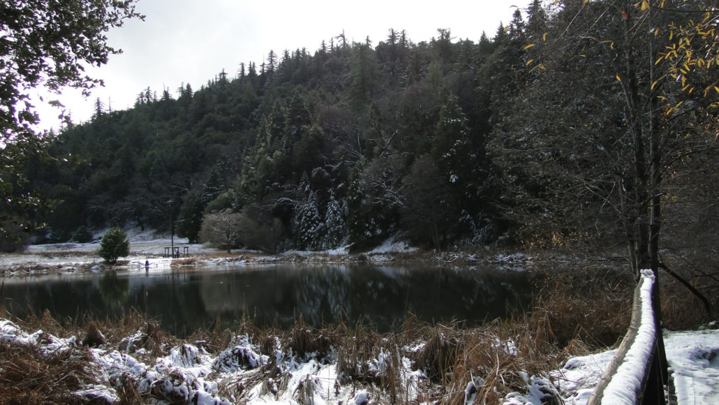
Trail photo
No caption provided.
Trail photo
No caption provided.
Trail photo
No caption provided.
Trail photo
No caption provided.
Trail photo
No caption provided.
Trail photo
No caption provided.
Trail photo
No caption provided.
Trail photo
No caption provided.
Trail photo
No caption provided.
Trail photo
No caption provided.
Trail photo
No caption provided.
Trail photo
No caption provided.
Trail photo
No caption provided.