2 min
Overview
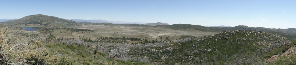
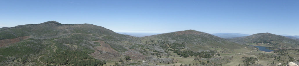
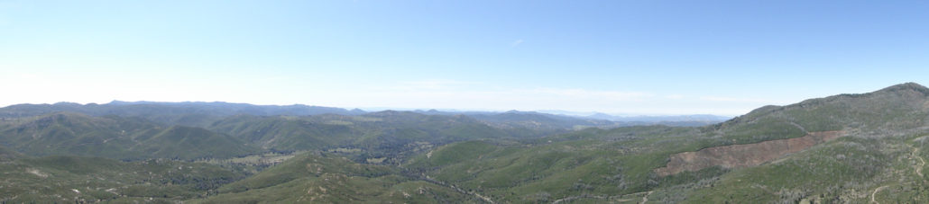
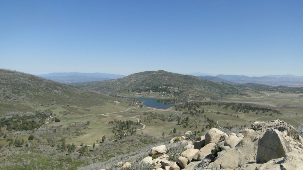
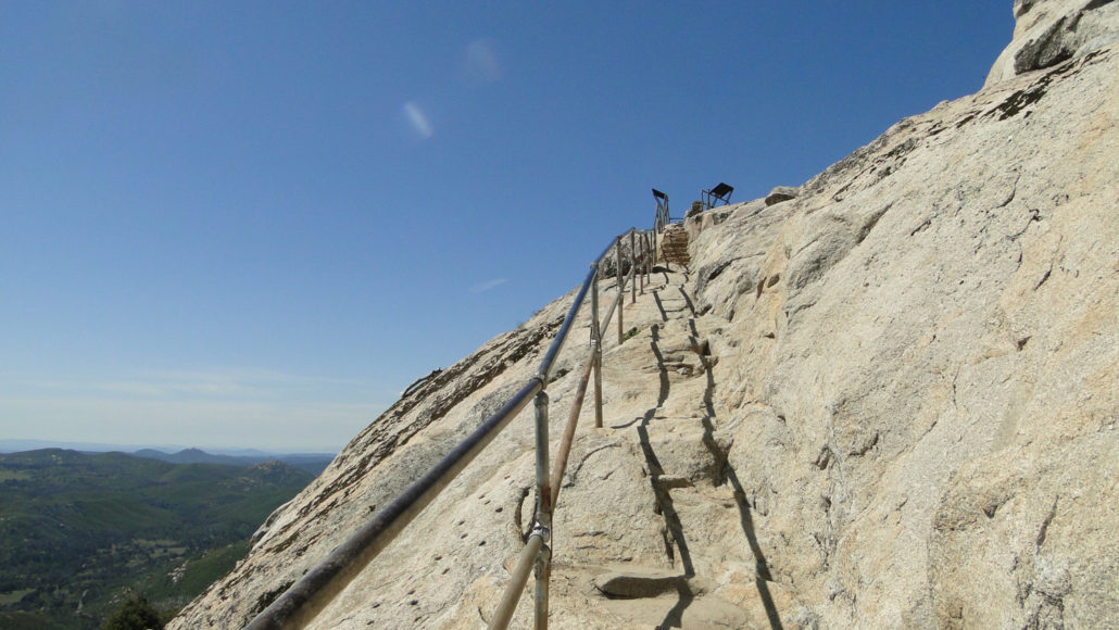
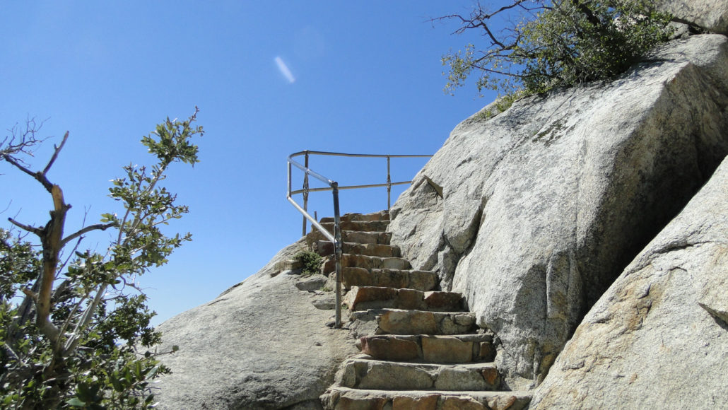
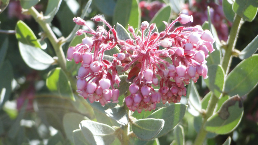
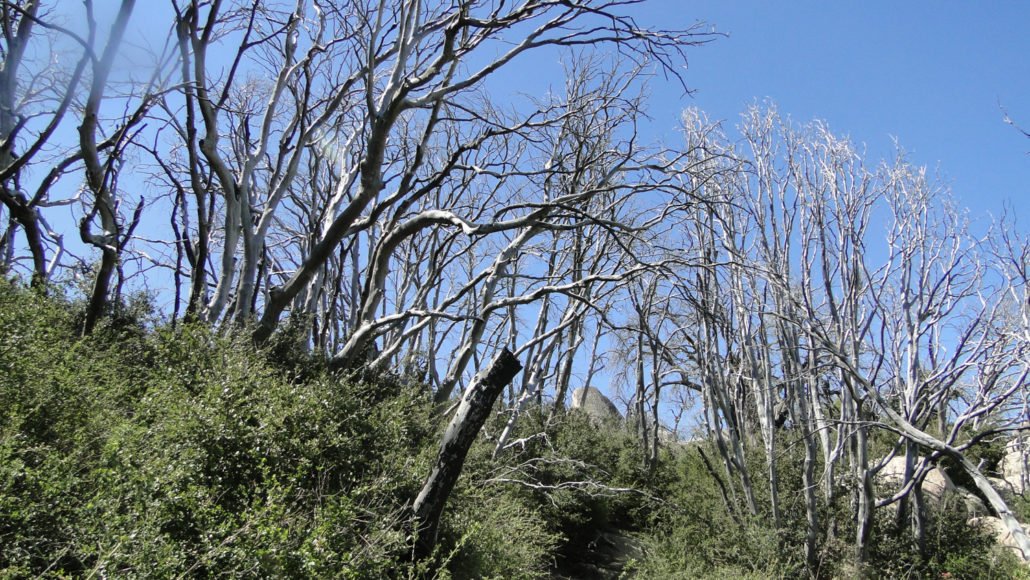
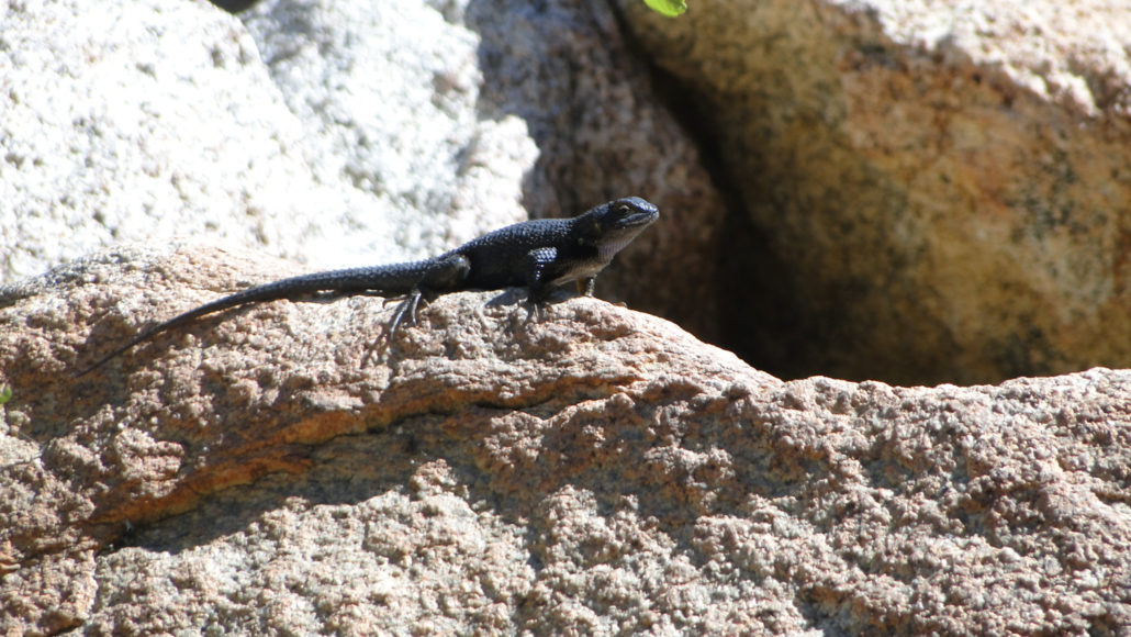
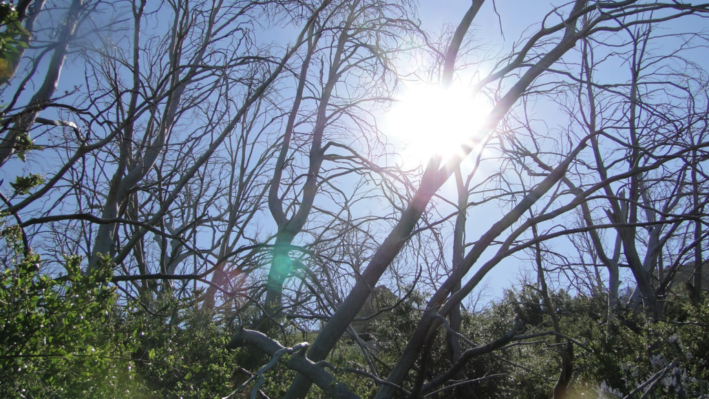
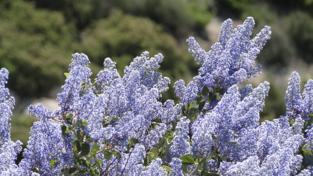
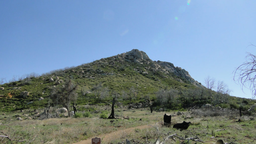
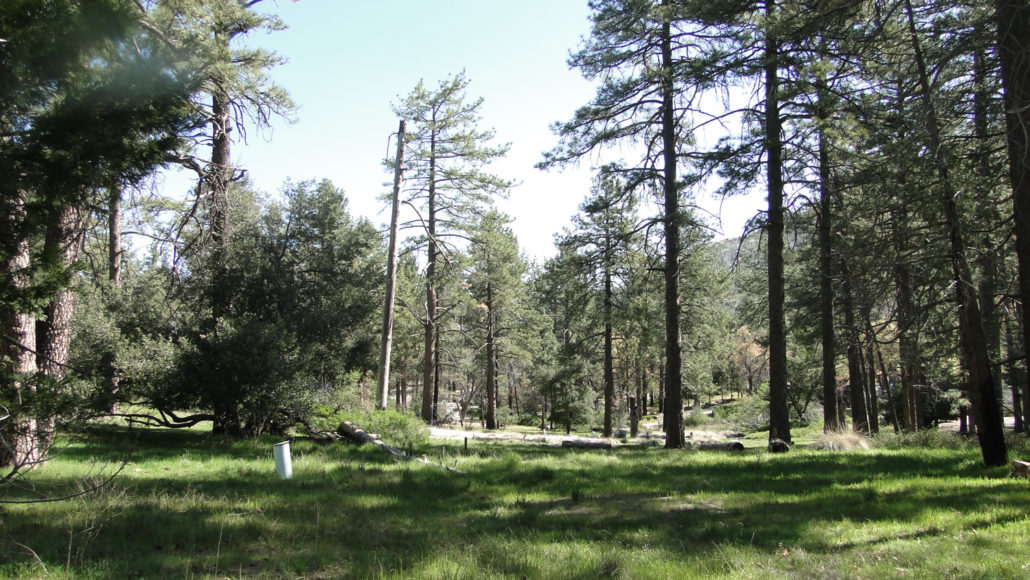
Cuyamaca Rancho State Park boasts an embarrassment of natural riches, including lakes, streams, springs, mesas, the largest deer herd in the county, multiple flocks of wild turkeys, seemingly infinite hiking opportunities, and, of course, a quartet of easily accessible, 5,000’+ peaks (Cuyamaca, Middle, Stonewall, and Oakzanita). Of the four, the popular Stonewall Peak Trail is the most accessible while offering great views over Cuyamaca Rancho State Park and into Anza-Borrego Desert State Park. Buenos dias, Mr. Fencepost Lizard Stonewall its name due to its proximity to the nearby Stonewall Mine, which was itself named after Stonewall Jackson. My review of the history of the does not turn up much else until 2003, when largest fire in California’s recorded history swept across Cuyamaca Rancho State Park and incinerated most of the landscape. The destruction from that fire is still very much in evidence, and it also presents the main challenges of the trail, including overgrown vegetation and some plants with a nasty tendency to cause allergic reactions Manzanita flowers (which are harmless) Poodle Dog Bush, which is a fire-following shrub with a nasty habit of causing severe allergic reactions similar to poison oak, is present at the outset of this hike in abundance. It is easy to avoid if you stay on the trail, but it does pose a danger if you are not familiar with the plant. If you’re uncertain of what the plant looks like, it is almost impossible not to notice what it smells like. The scent is very reminiscent of marijuana. If you smell something that smells like marijuana while walking through a burn area, chances are reasonably good that you’re smelling poodle dog bush. The woods near Paso Picacho Campground Starting from the day-use parking lot adjacent to Paso Picacho Campground, cross Highway 79 and find the wide dirt trail on the other side of the road. You’ll pass through a small copse of singed pines before the Stonewall Peak Trail branches off to the right. You may notice the Cold Springs Trail bran
Trail Stats
6.3 km
274 m
1740 m
1461 m
—
Photos
Trail photo
No caption provided.
Trail photo
No caption provided.
Trail photo
No caption provided.
Trail photo
No caption provided.
Trail photo
No caption provided.
Trail photo
No caption provided.
Trail photo
No caption provided.
Trail photo
No caption provided.
Trail photo
No caption provided.
Trail photo
No caption provided.
Trail photo
No caption provided.
Trail photo
No caption provided.
Trail photo
No caption provided.