2 min
Overview
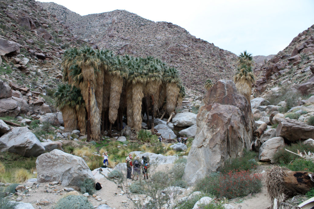
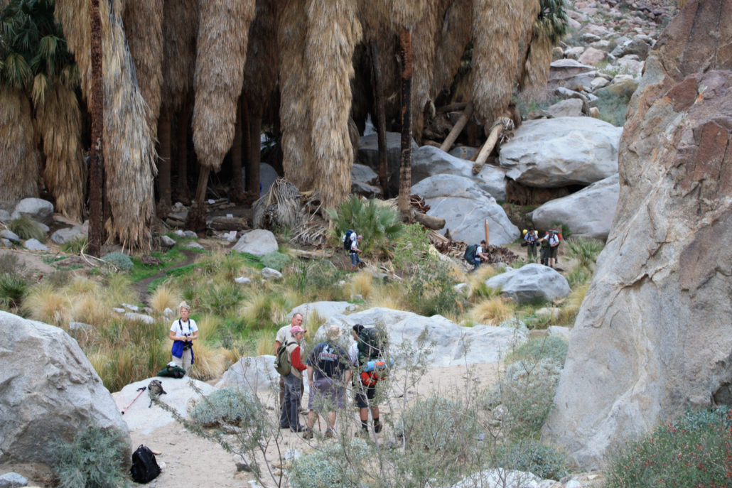
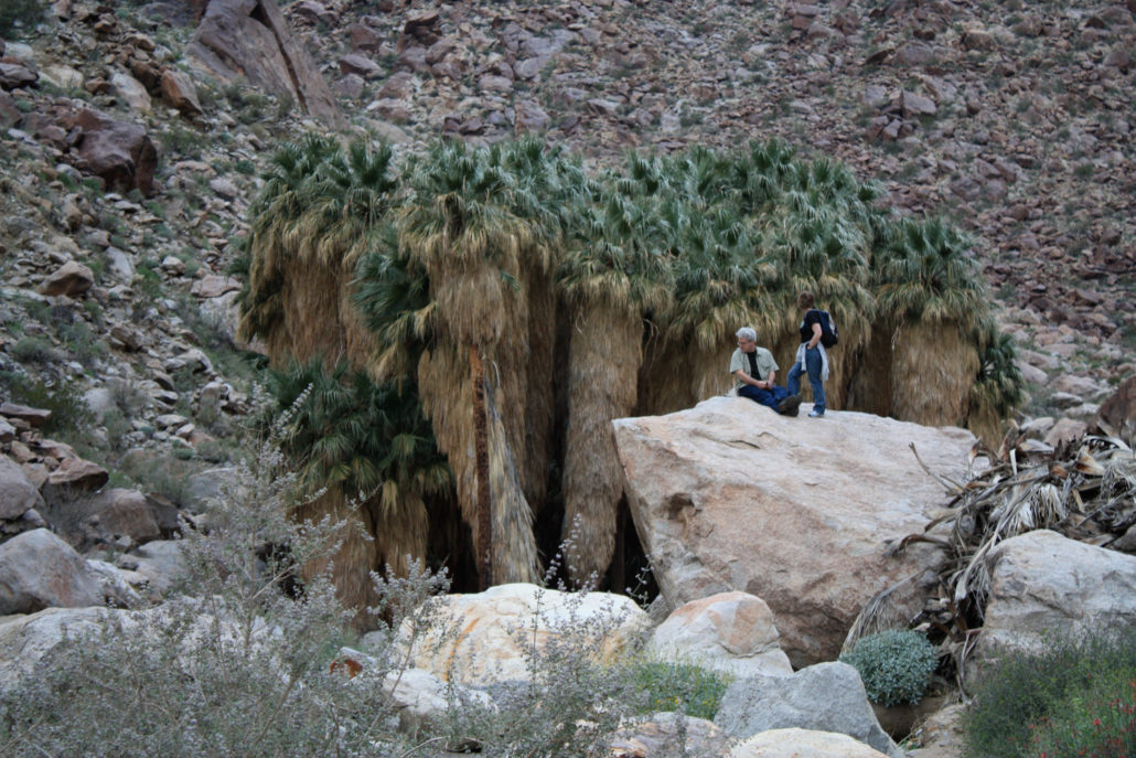
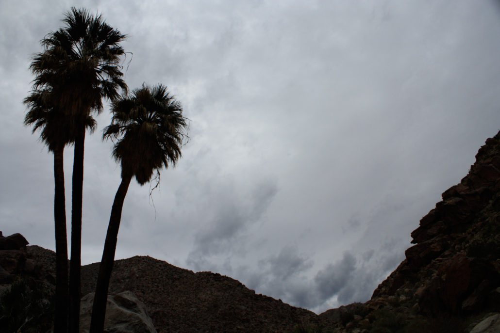
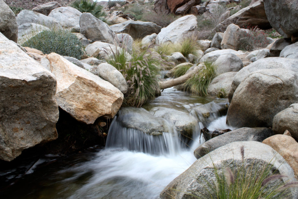
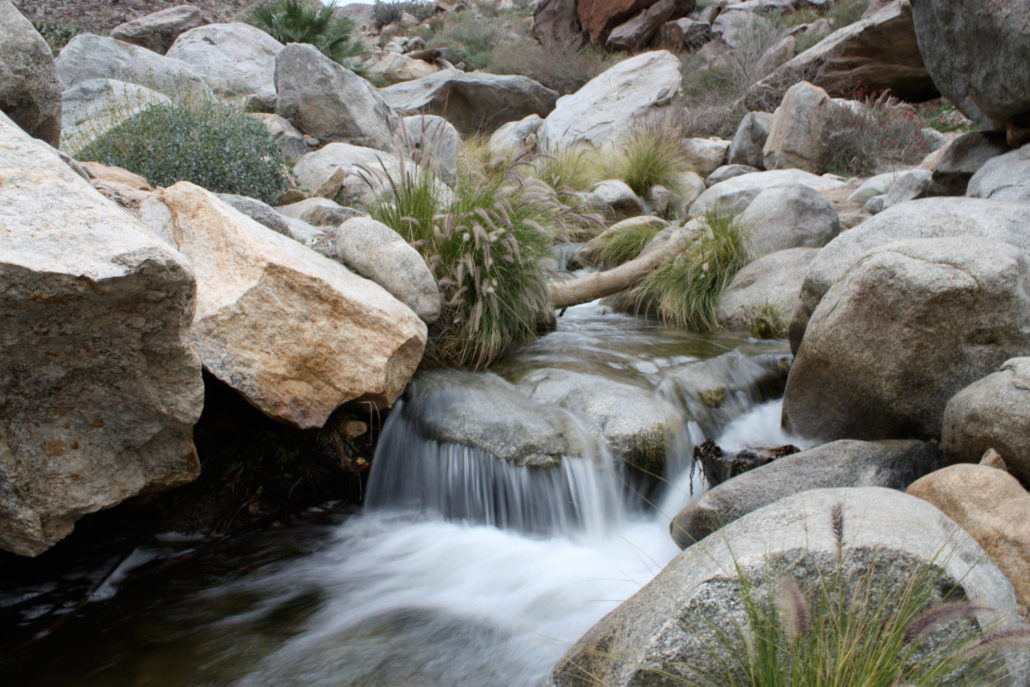
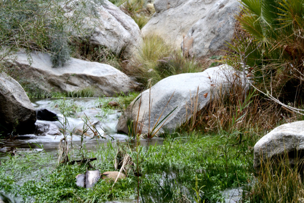
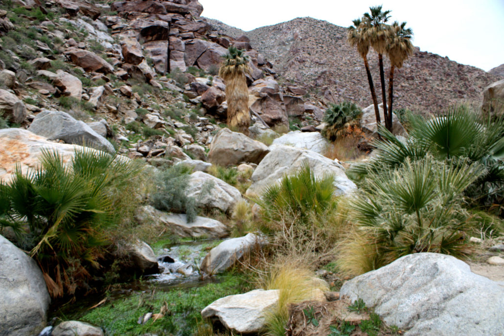
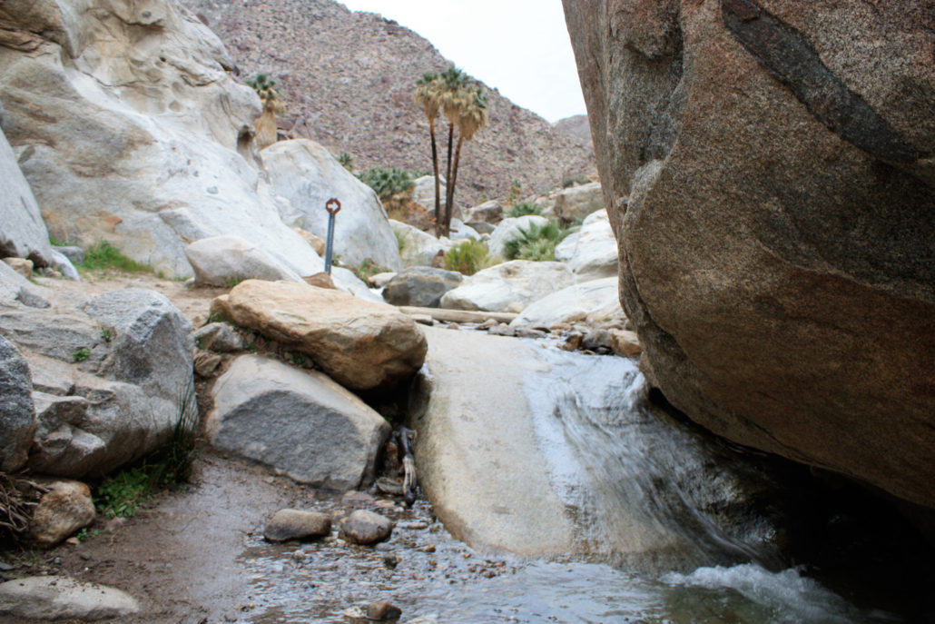
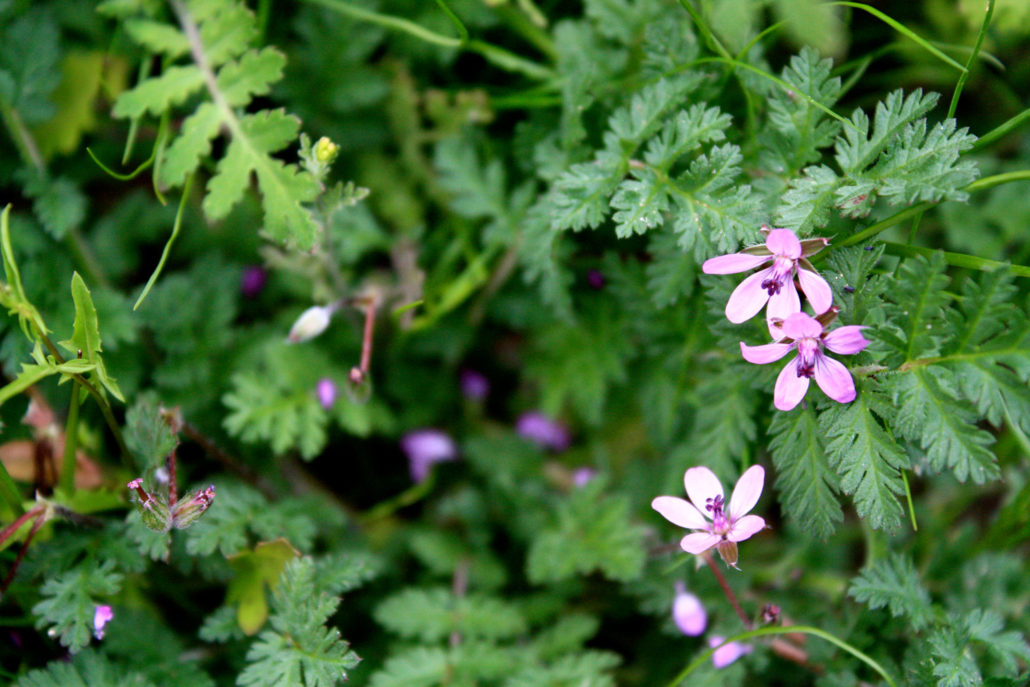
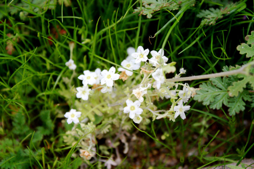
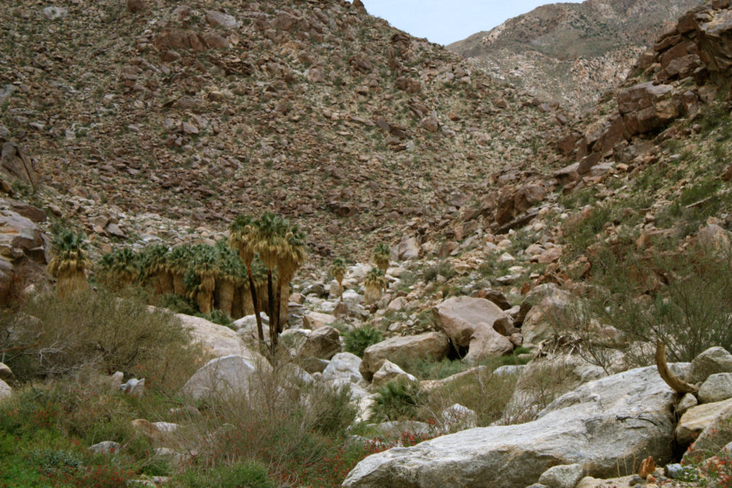
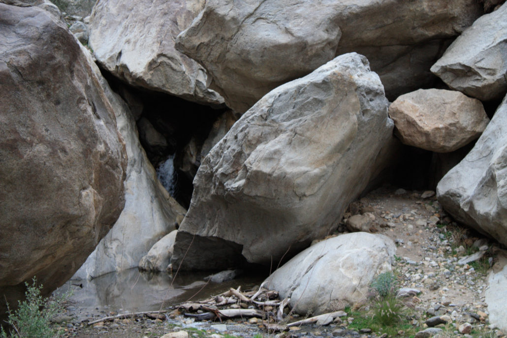
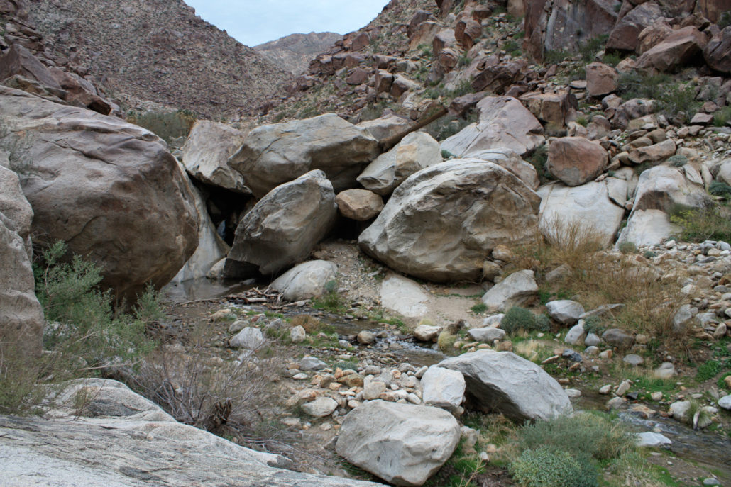
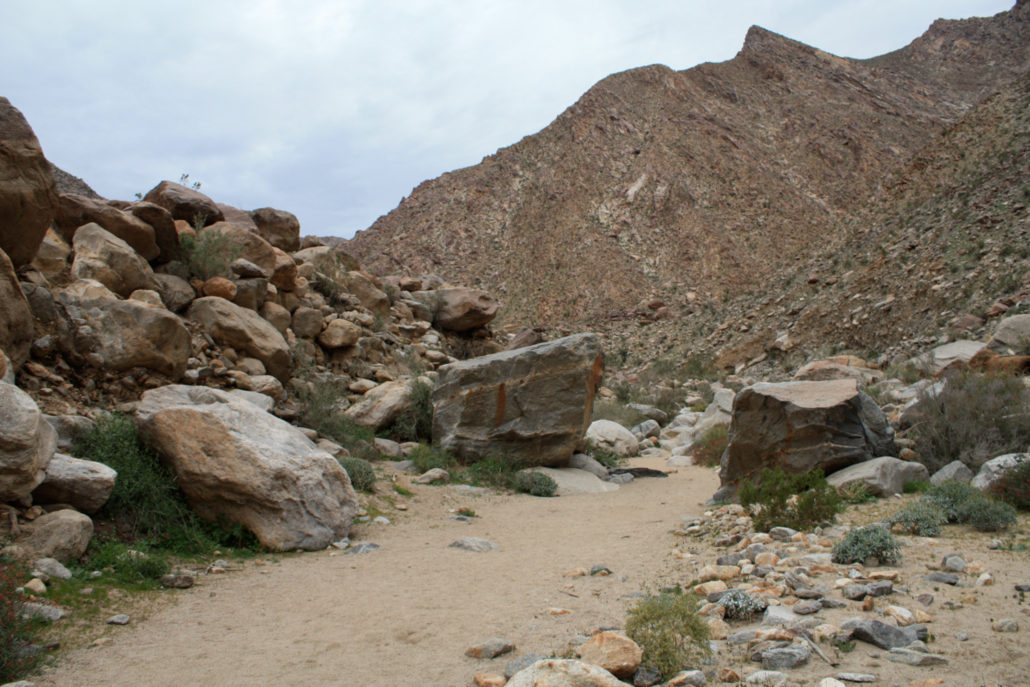
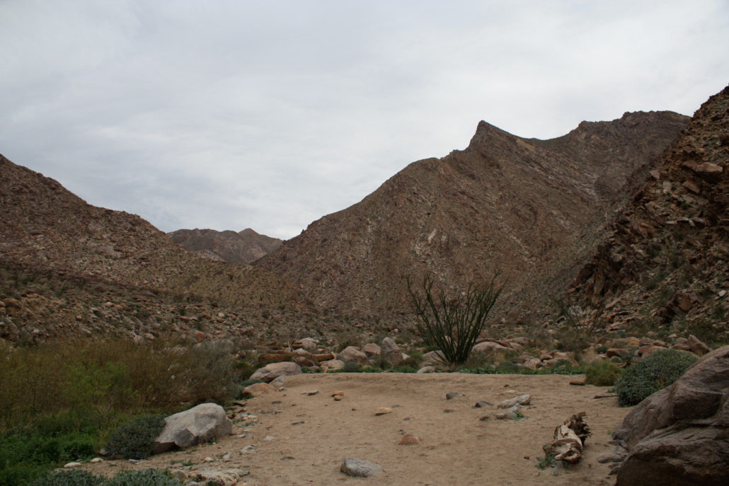
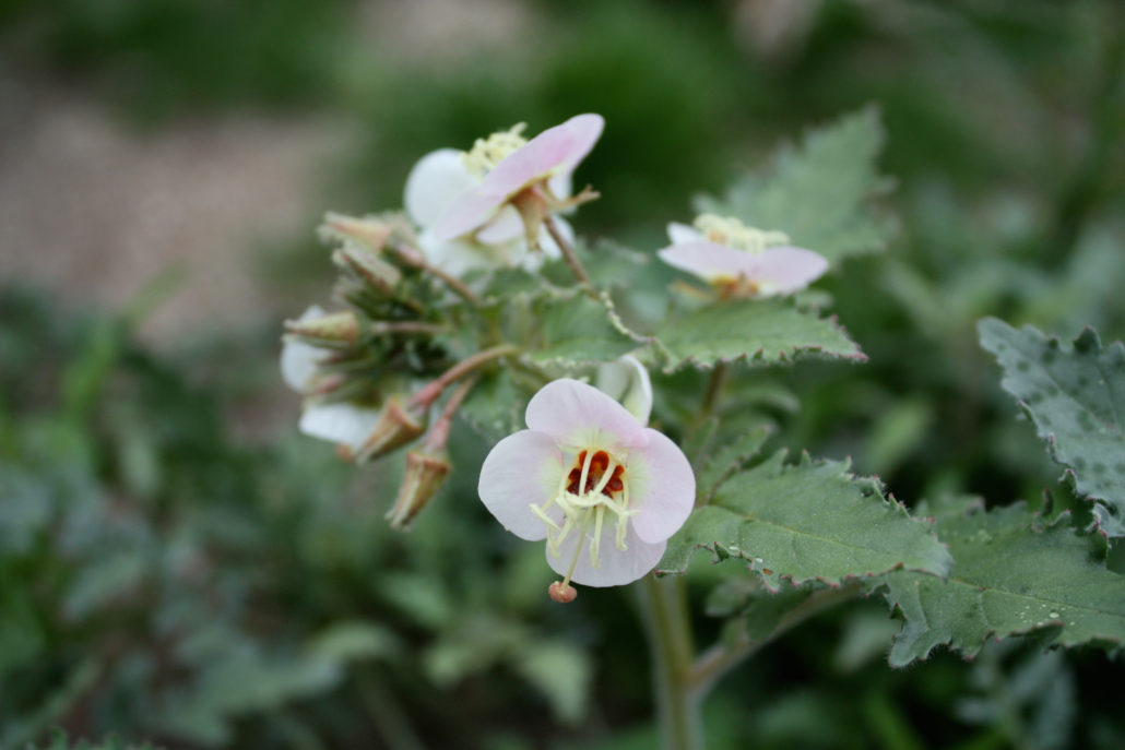
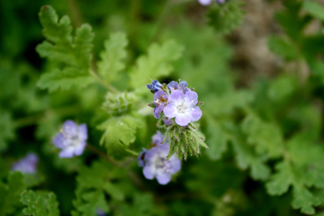
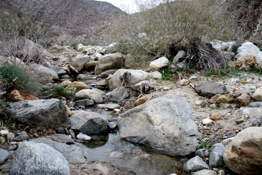
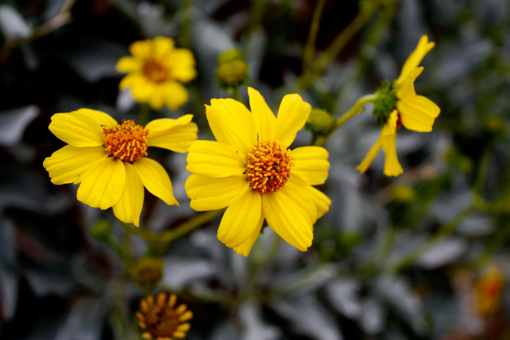
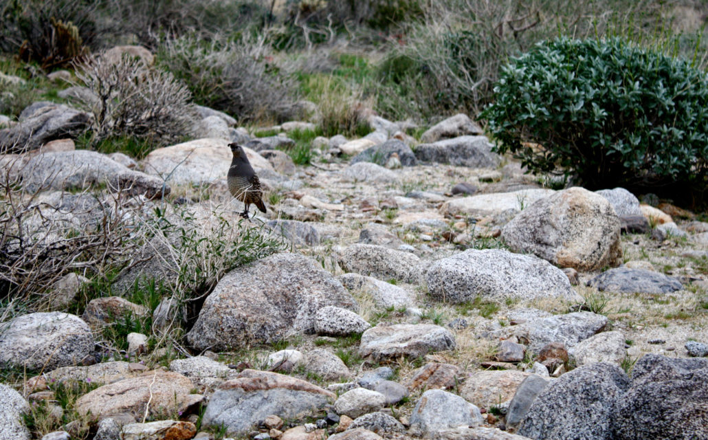
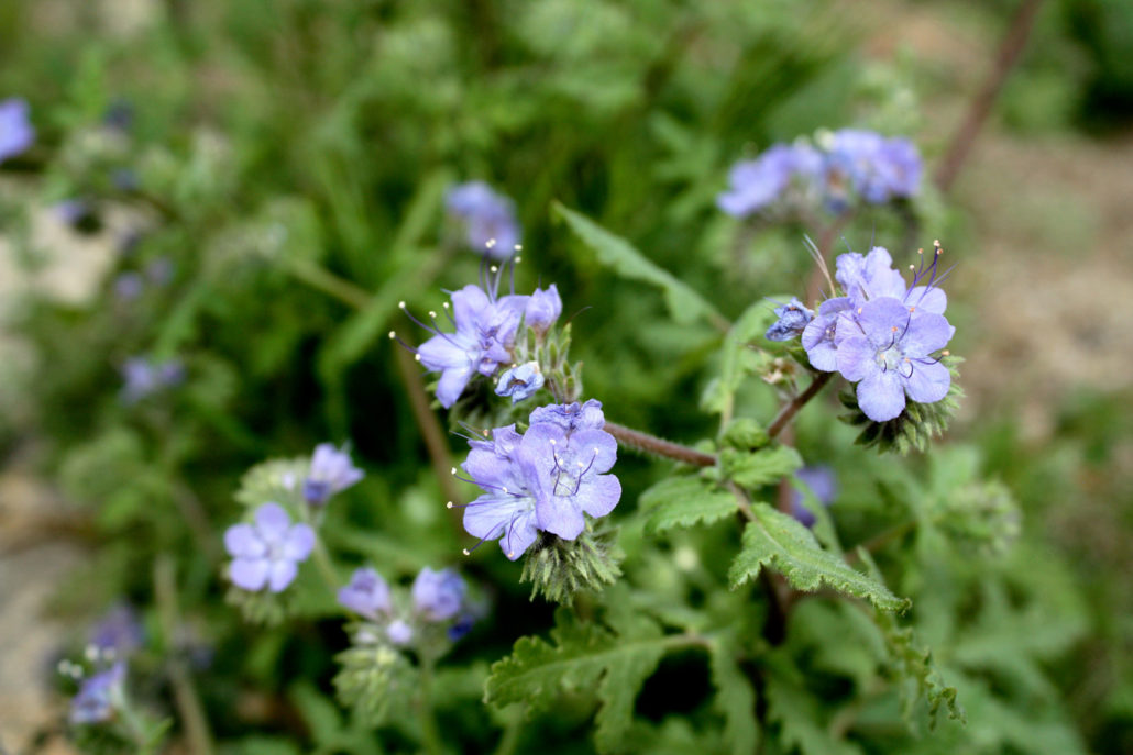
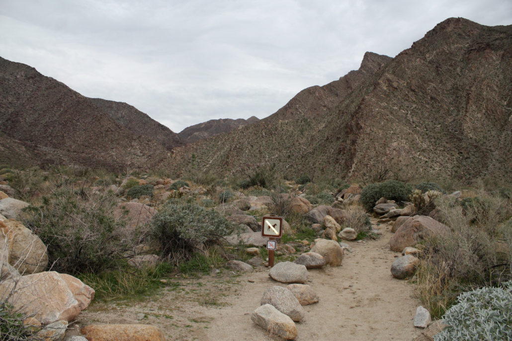
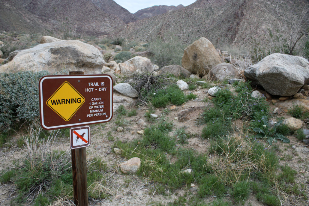
This relatively easy, 3-mile roundtrip down to Borrego Palm Canyon takes you into a rocky canyon to one of the last remaining naturally occurring native California palm groves left on the planet. This is a fascinating hike for amateur botanists and geologists, and desert hikers will be rewarded with a surprising amount of water along the trail. There’s a free pamphlet at the trailhead that will help identify items of biological and historical note along the way. A highly recommended hike to anyone visiting Anza-Borrego Desert State Park. The trail to Borrego Palm Canyon is a popular route for day hikers and casual strollers, and it would be easy for more “hardcore” hikers to overlook. It’s short, it often has a healthy amount of trail traffic, and it’s located just outside of one of the two main reservation campgrounds in Anza-Borrego State Park. But, even if you’ve already been down the similar oasis trail in Hellhole Canyon, Borrego Palm Canyon is definitely worth a stop on your trip. The trail itself starts at the end of a paved road west of the Borrego Palms Campground, the main campground for the north / western part of the park. The trailhead itself is very clearly marked, and the parking area had plenty of spaces when I was there. After you set foot on the the trail, you’re immediately greeted with a sign warning you how hot it can get in this canyon — this is your last chance to head back to your car to get more water. Make sure you have more than you think you need. The trail begins following some “landscaped” paths, lined by boulders, and heads northwest toward a small creek / wash that runs through the canyon. At first glance, it can look pretty desolate, especially if you’re hiking on a cloudy morning like I was: But … as I was hiking at the beginning of the desert’s wildflower season, the normally hidden desert life had no qualms about making its presence known. Flies and bees were buzzing in the distance, headed toward the early-blooming flowers that started popping up on the trail as I got closer
Trail Stats
4.7 km
160 m
416 m
256 m
—
Photos
Trail photo
No caption provided.
Trail photo
No caption provided.
Trail photo
No caption provided.
Trail photo
No caption provided.
Trail photo
No caption provided.
Trail photo
No caption provided.
Trail photo
No caption provided.
Trail photo
No caption provided.
Trail photo
No caption provided.
Trail photo
No caption provided.
Trail photo
No caption provided.
Trail photo
No caption provided.
Trail photo
No caption provided.
Trail photo
No caption provided.
Trail photo
No caption provided.
Trail photo
No caption provided.
Trail photo
No caption provided.
Trail photo
No caption provided.
Trail photo
No caption provided.
Trail photo
No caption provided.
Trail photo
No caption provided.
Trail photo
No caption provided.

Trail photo
No caption provided.
Trail photo
No caption provided.
Trail photo
No caption provided.
Trail photo
No caption provided.