2 min
Overview
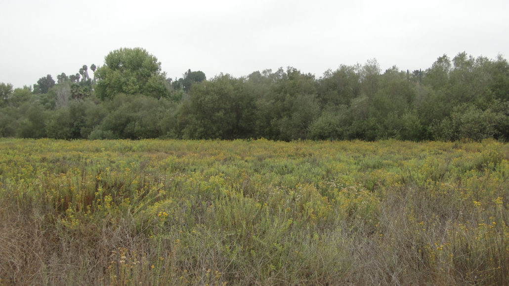
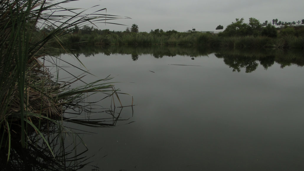
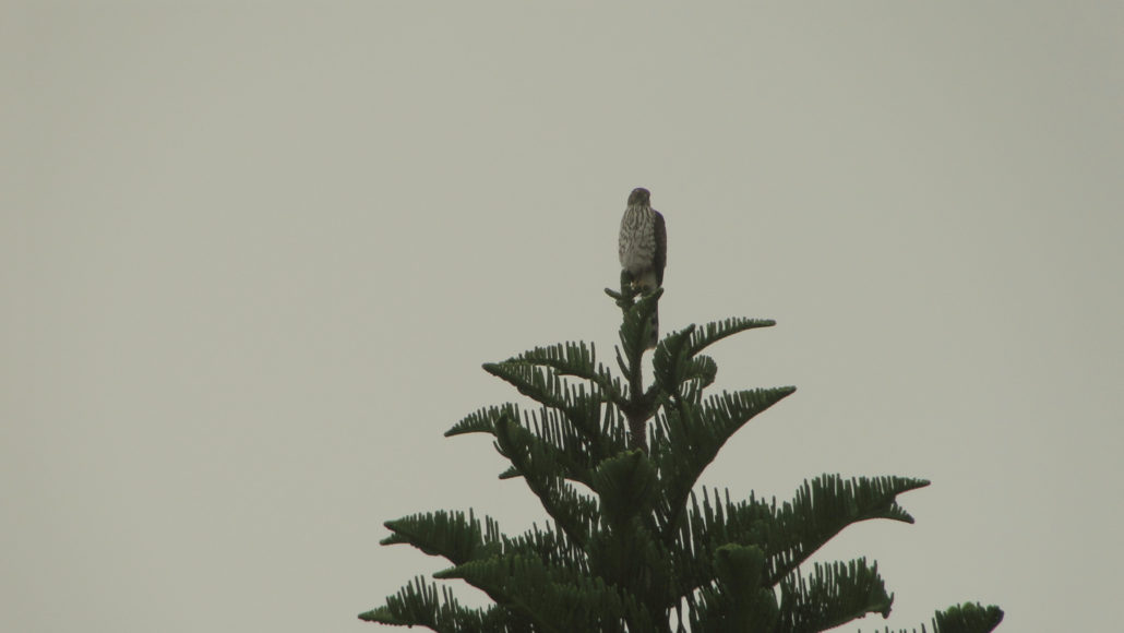
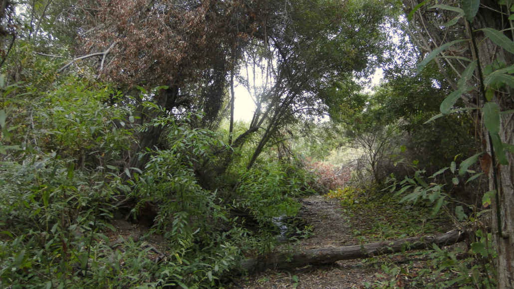
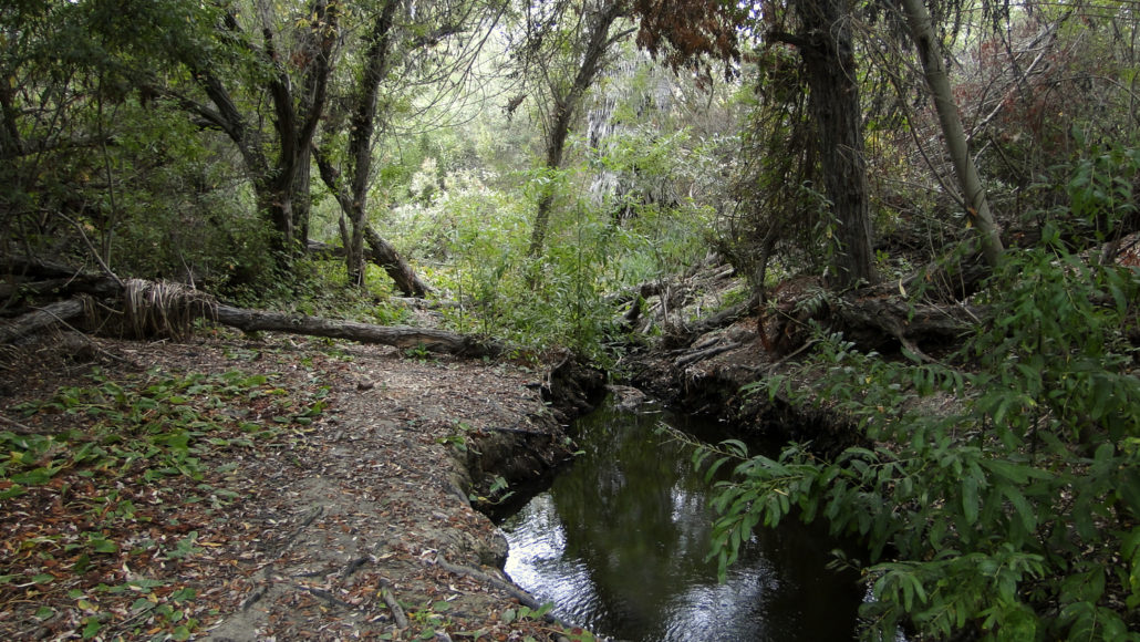
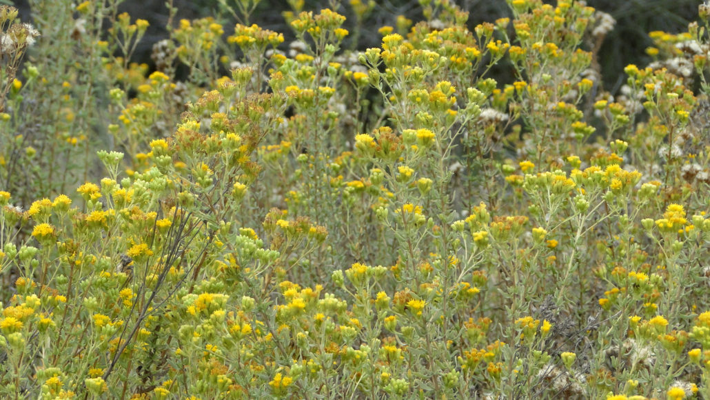
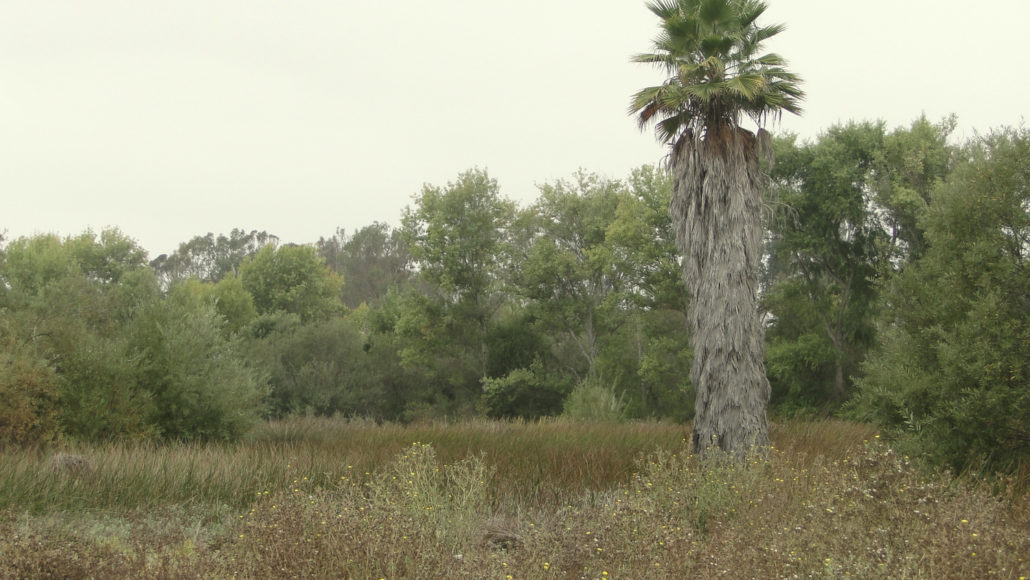
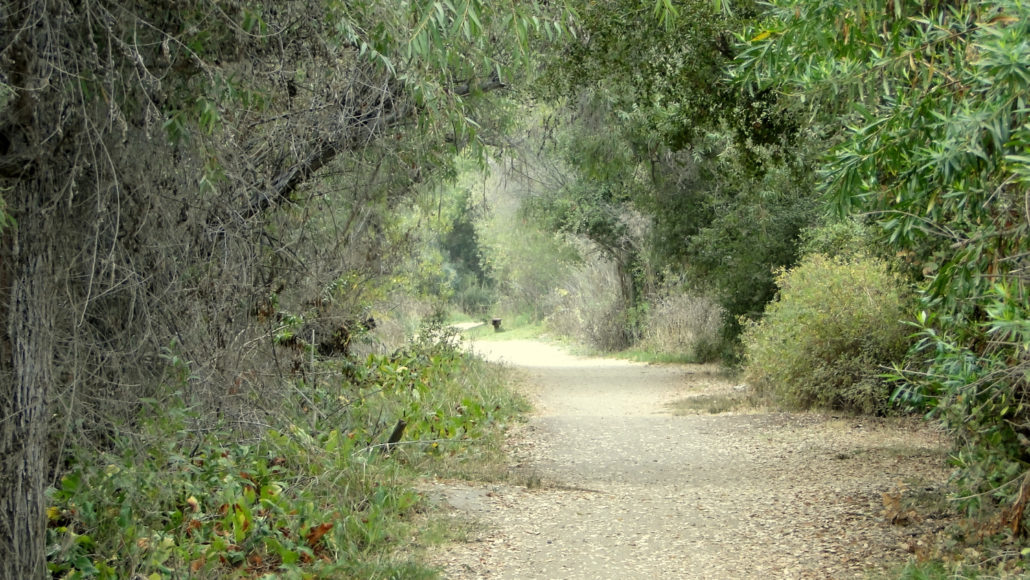
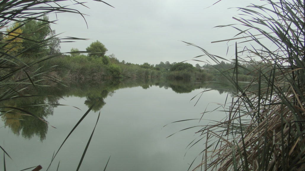
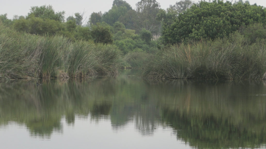
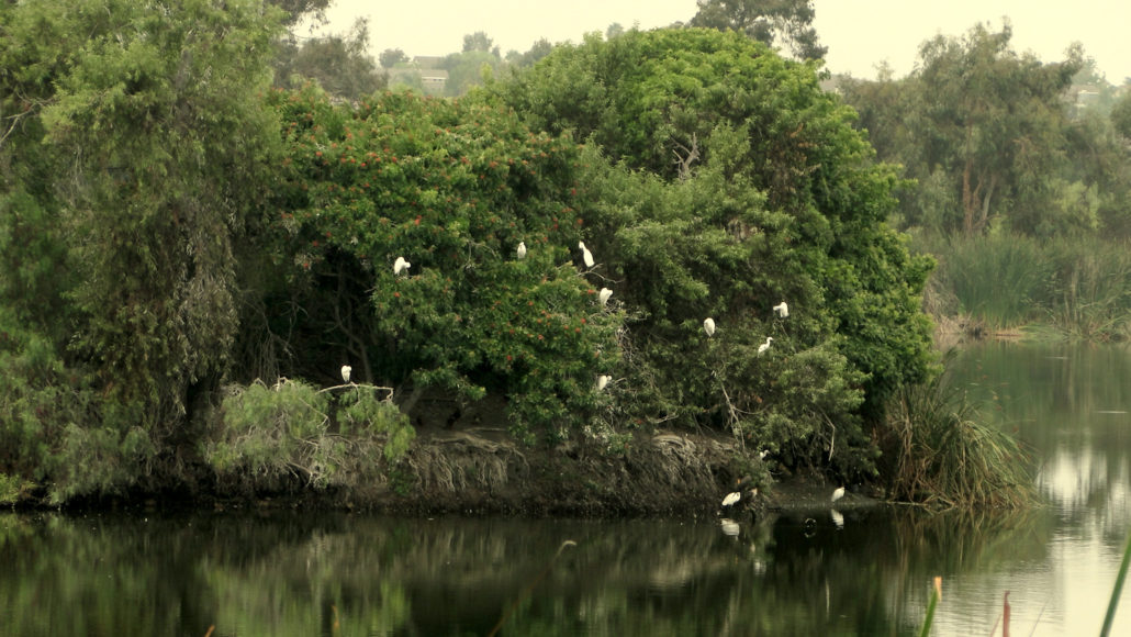
Guajome County Park is an oasis of marshes, creeks, ponds, and lakes tucked into bustling east Oceanside. The park offers several miles of trails, a campground, two day use areas with picnic tables and playground equipment, fishing, and hiking, all within 30 minutes of most of North County. While the rest of the county bakes during the summer, cool ocean breezes and early morning marine layer provide natural air conditioning to keep you cool during a nice, easy stroll in the park. September wildflowers This area, which is part of the San Luis Rey River valley, got its name from a Luiseño word meaning “Frog Pond.” Guajome does indeed have a frog pond, which also attracted interest from the Franciscan friars who established the San Luis Rey Mission just down the road from the park. The friars of yesteryear utilized the land around the current park for grazing. The land passed through the hands of numerous owners until the nearby Guajome ranch house was decreed a national landmark and purchased by the county, along with 165 acres for use as a recreation area. A hawk resting on a Cook Island pine Due to the abundance of suburban and semi-rural development around the park, Guajome does not have the wild character of most inland hikes. However, its ease of access and rich riparian and marshland landscapes offer a welcome respite from civilization. This write-up details a loop around the park that includes the pond, a creek, two separate marshes, a signed nature trail identifying native and non-native plants, a large lake with good bird watching, and the 35 site (plus one cabin) campground. Duck on the pond Starting from the parking lot at Guajome Lake Road on the northeast section of the park, pass through a gate and find a faint dirt path leading past an info kiosk with a trail map to a wide fire road called the Summit Trail. The Summit Trail will undulate over a few grassy hills dotted with non-native wild anise (which produces a pleasant licorice scent) before joining the Willow Trail. Keep left at the next juncti
Trail Stats
5.3 km
45 m
79 m
35 m
—
Photos
Trail photo
No caption provided.
Trail photo
No caption provided.
Trail photo
No caption provided.
Trail photo
No caption provided.
Trail photo
No caption provided.
Trail photo
No caption provided.
Trail photo
No caption provided.
Trail photo
No caption provided.
Trail photo
No caption provided.
Trail photo
No caption provided.
Trail photo
No caption provided.