2 min
Overview
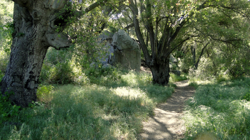
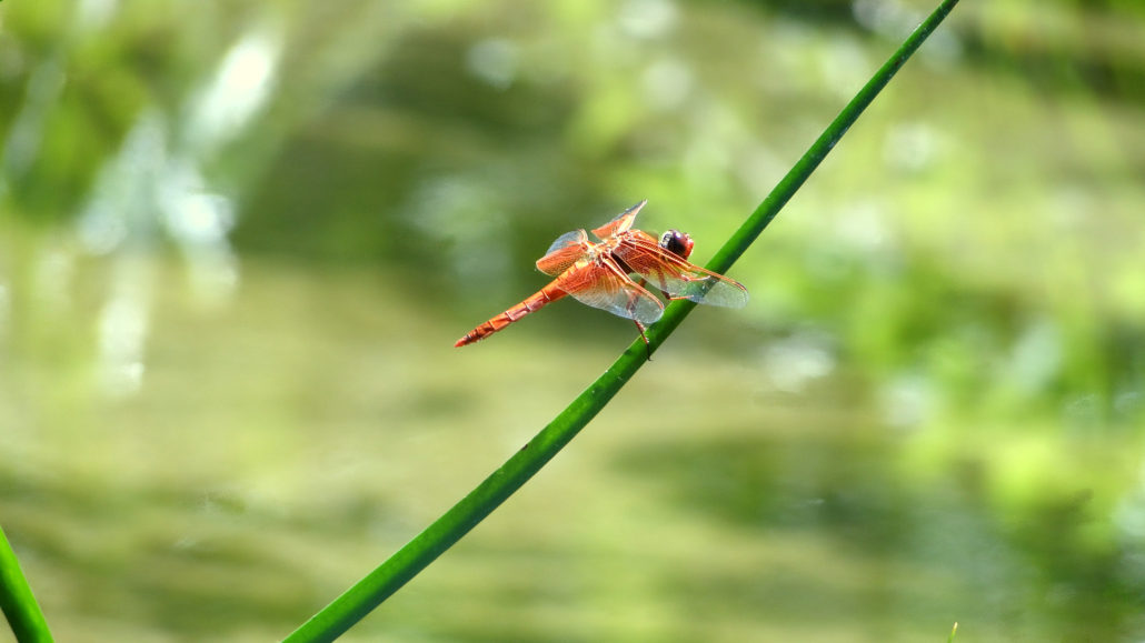
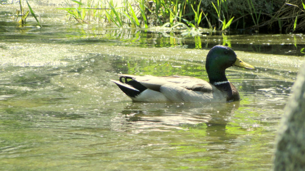
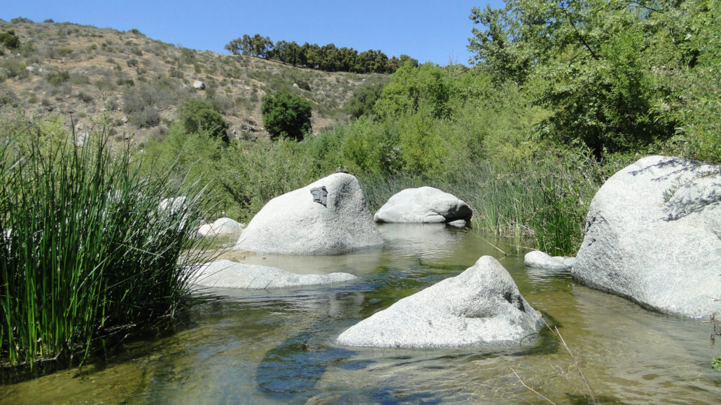
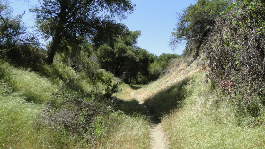
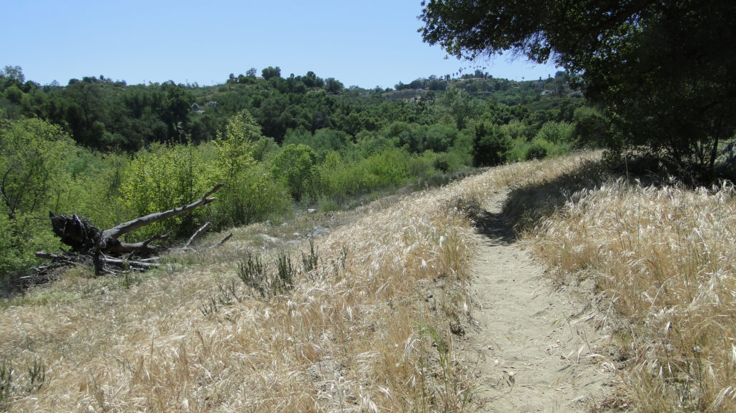
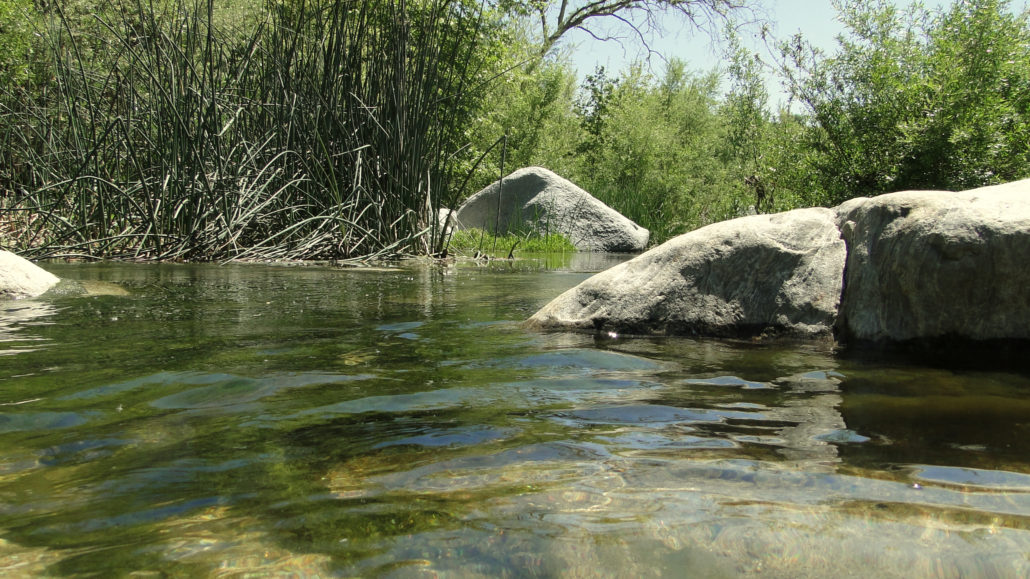
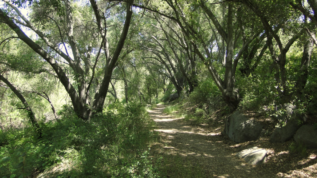
When it comes to rivers in Southern California, most people envision concrete channels carrying the Los Angeles River past some of the rougher parts of downtown Los Angeles. Some people envision the San Diego River acting as a refuge/battleground for homeless folks as it passes through the offices and shopping centers of Mission Valley. And perhaps others imagine the San Gabriel River with its random concrete Bridge to Nowhere before it gets swallowed up by reservoirs and flood channels. Any image of a river in Southern California cannot be separated from the man-made “improvements” imposed in the interest of expanding the urban landscape. Red Dragonfly However, there is one river that remains relatively untouched. The river maintains its relatively untrammeled existence both to the presence of nearby Camp Pendleton and the relative remoteness and inaccessibility of the landscape through which it travels. Of all the rivers in Southern California, only the Santa Margarita River remains undiverted, unchanneled, and un-dammed. Santa Margarita River near Trail Crossing Of course, the river is barely a river by the standards of anything east of the Rockies. In fact, it pales in comparisons to the rivers that drain the Sierra Nevadas, unless there has been a raging storm to swell the river and cause it to overflow. The fact that it is designated a river may seem a technicality to some, as it is the main channel into which numerous creeks empty their contents before reaching the Pacific Ocean. In this instance, comparison with other larger rivers only serves to diminish your experience. Taken as it is, the Santa Margarita is a gem to be treasured. Male Mallard Duck This hike will lead you along the river’s banks, through lush growths of wild grape vines and wildflowers, under the spreading boughs of live oaks, and along sandy shores where the water pools up and invites swimming on hot days. The hike presented in the GPS track above takes the hiker beyond what would normally be considered a turn-around point, and the o
Trail Stats
11.1 km
45 m
150 m
86 m
—
Photos
Trail photo
No caption provided.
Trail photo
No caption provided.
Trail photo
No caption provided.
Trail photo
No caption provided.
Trail photo
No caption provided.
Trail photo
No caption provided.
Trail photo
No caption provided.
Trail photo
No caption provided.
Trail photo
No caption provided.
Trail photo
No caption provided.
Trail photo
No caption provided.
Trail photo
No caption provided.

Trail photo
No caption provided.