2 min
Overview
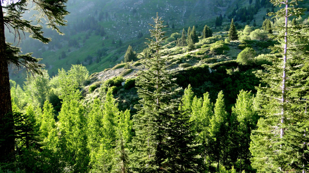
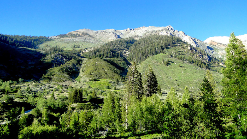
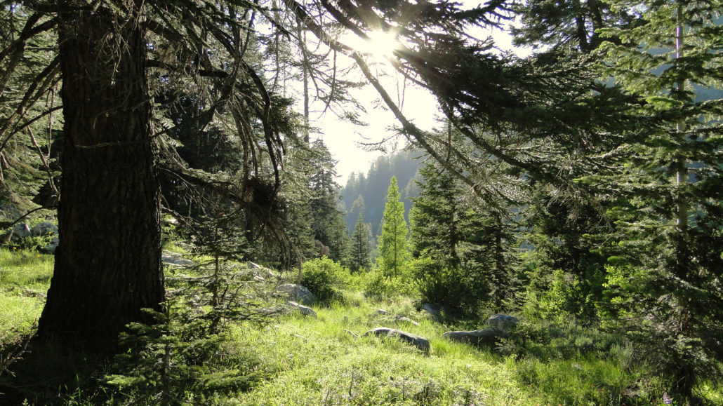
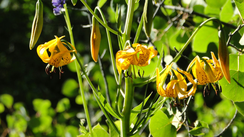
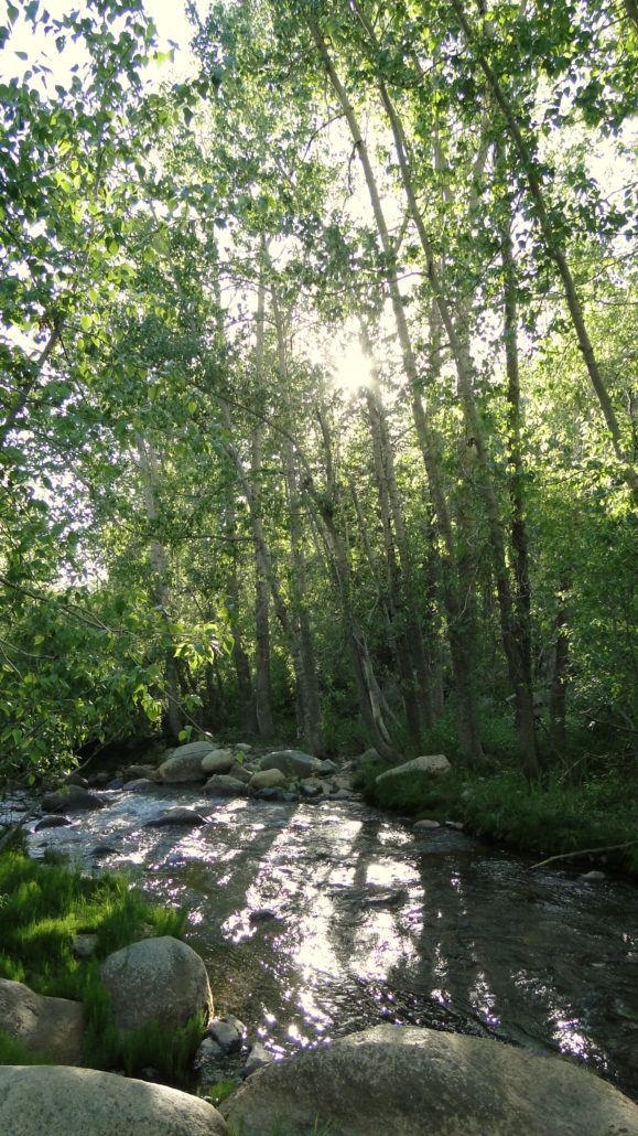
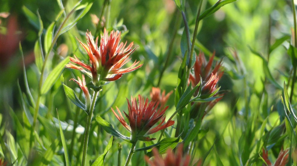
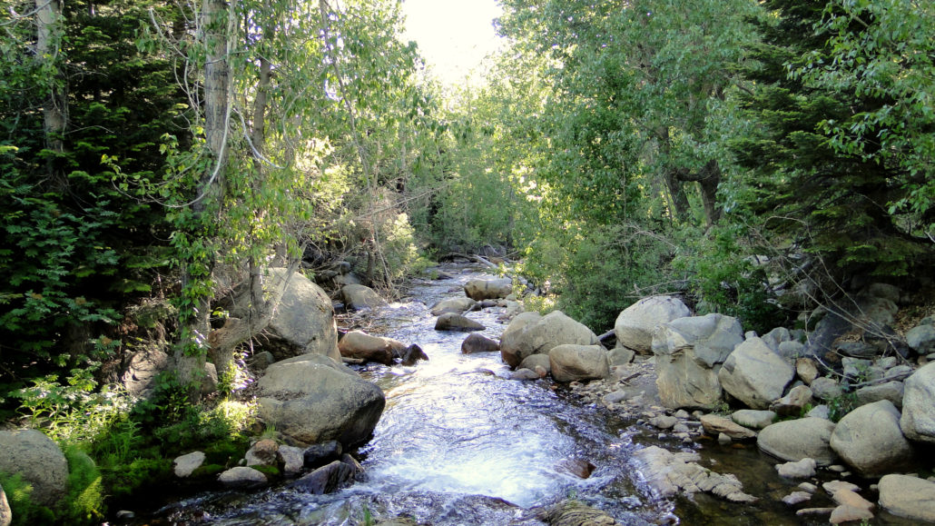
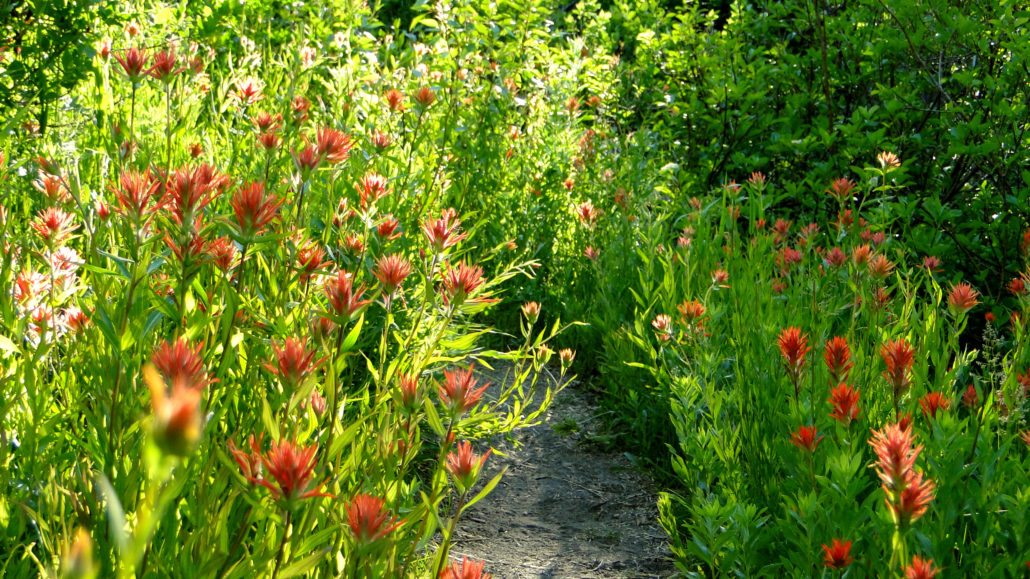
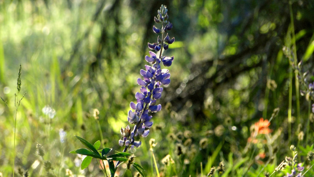
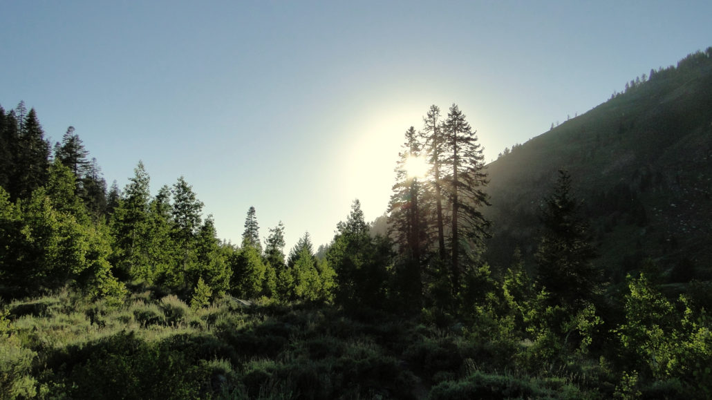
One of the most beautiful trails in Mineral King is also one of the most unassuming. The Cold Springs Nature Trail travels through lush meadows and stands of aspen and cottonwood near the banks of the East Fork River. Despite being only 1.25 miles from the Cold Springs Campground to the Eagle-Mosquito parking lot, Cold Springs has a lot to offer on both the intimate level, the grand level, and even the historical level. Cold Springs Nature Trail This region of Mineral King was once the site of a small town known as Beulah, along with attendant mining and smelting operations. Mineral King’s name harkens back to its mining history, and the terrain through which the Cold Springs Nature Trail passes once hosted the epicenter of its mining activities. In 1906, the San Francisco earthquake set loose an avalanche that buried the town of Beulah and destroyed most of the mining operations. While the mining eventually faded away, habitation on the Beulah site has not, and you will see a number of old privately owned cabins. Each features the name of the families who have owned the cabins, along with the year the cabin was built. It’s not common to see habitation on National Park lands, but as the Mineral King area was incorporated into Sequoia National Park long after the residences were established, the Park Service has allowed the cabins to remain. Paintbrushes The rest of the trail travels through some of the most lush mountain scenery in the Sierra Nevada range. The combination of the river, ideal elevation for maximum precipitation, and favorable slope aspect means that the Cold Spring trail segment is full to the brim with wildflowers, deciduous trees, conifers, trickling streams, lush meadows, and, of course, cold springs. Here and there, you will find stands of lodgepole pines and red firs, while the drier spots have thick growths of fragrant sagebrush. A lot of the plants found here, especially the aspens, sagebrush, and lodgepoles, are reminiscent of Montana, and this part of the valley reminded me of Big S
Trail Stats
3.7 km
198 m
2392 m
2273 m
—
Photos

Trail photo
No caption provided.
Trail photo
No caption provided.
Trail photo
No caption provided.
Trail photo
No caption provided.
Trail photo
No caption provided.
Trail photo
No caption provided.
Trail photo
No caption provided.
Trail photo
No caption provided.
Trail photo
No caption provided.
Trail photo
No caption provided.
Trail photo
No caption provided.
Trail photo
No caption provided.