1 min
Overview
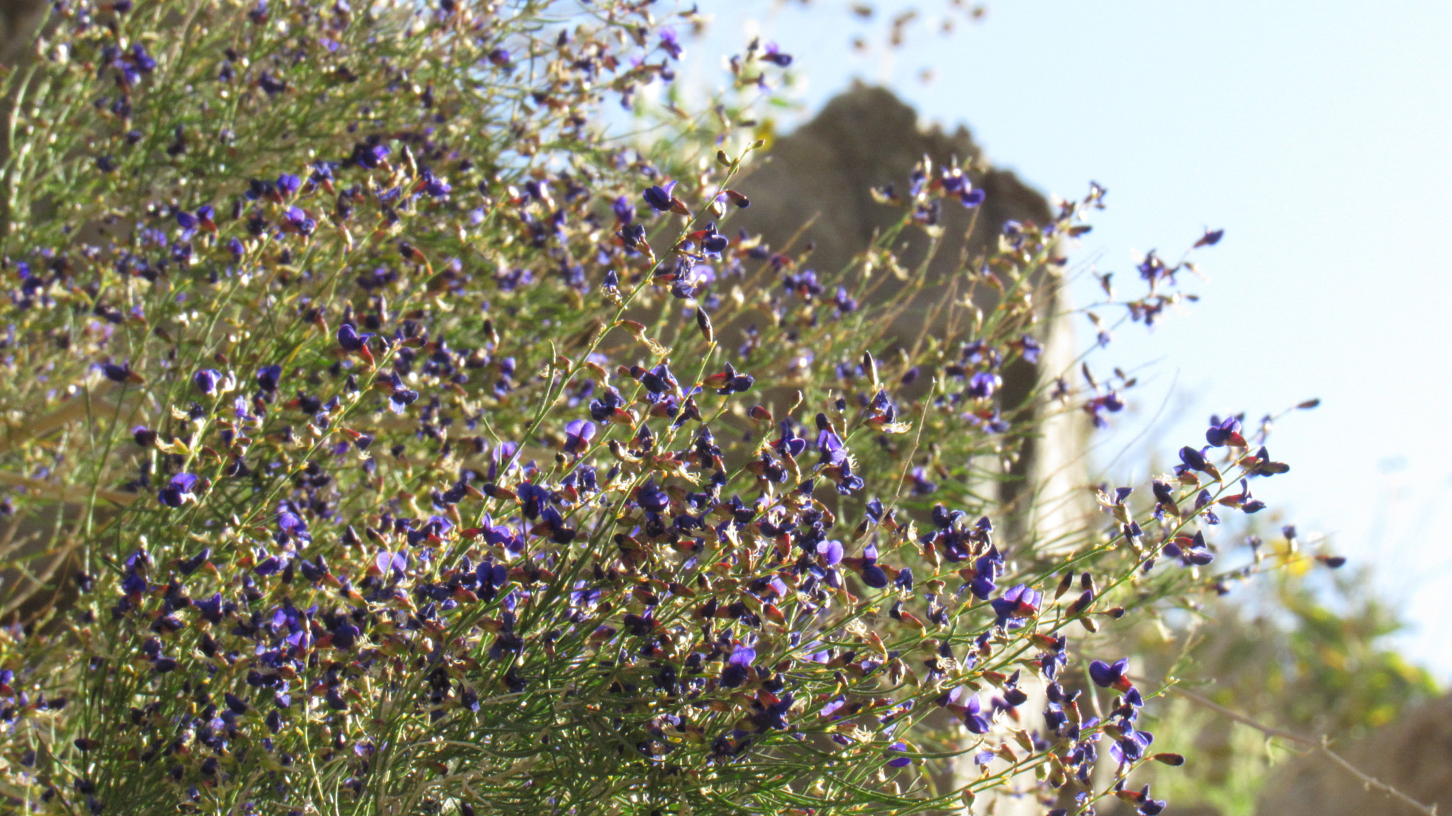
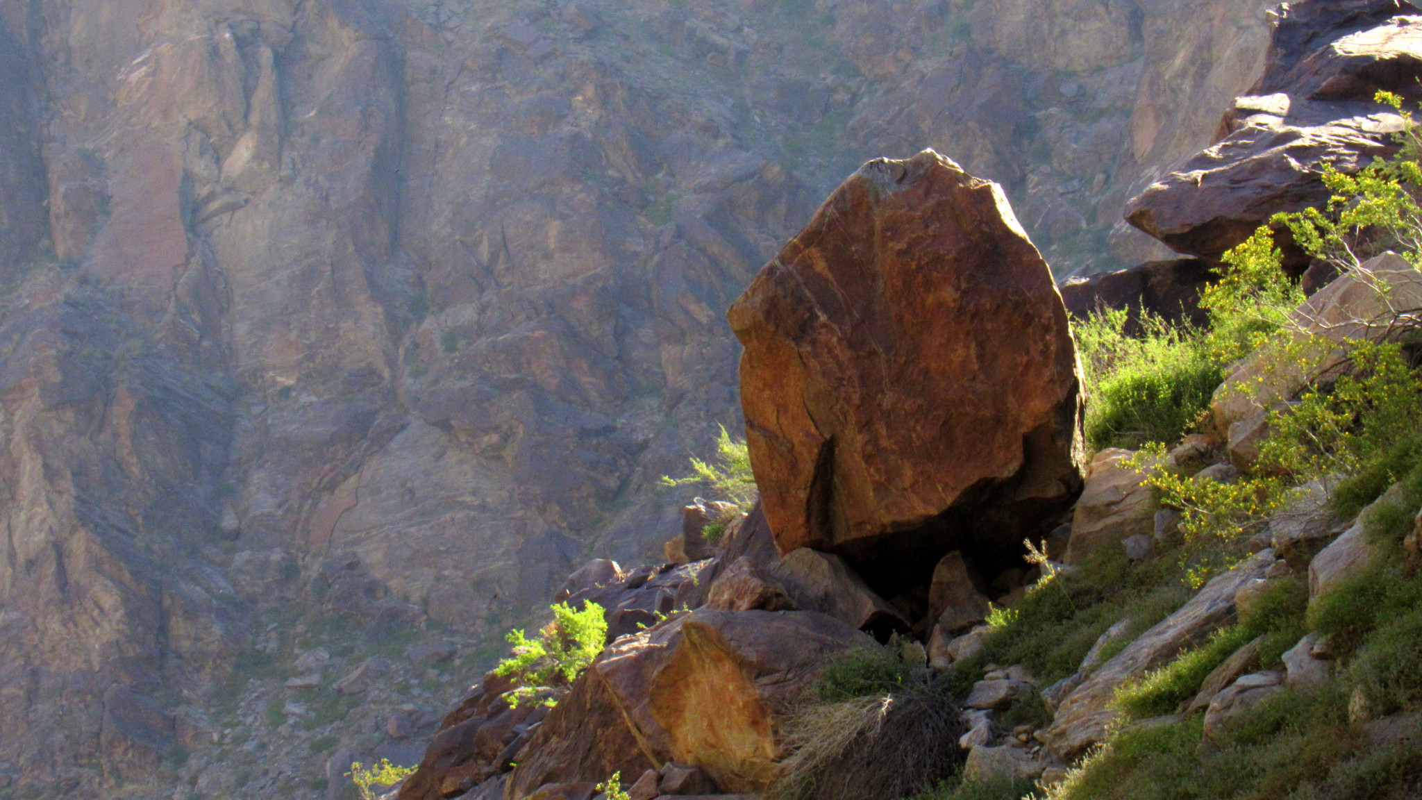
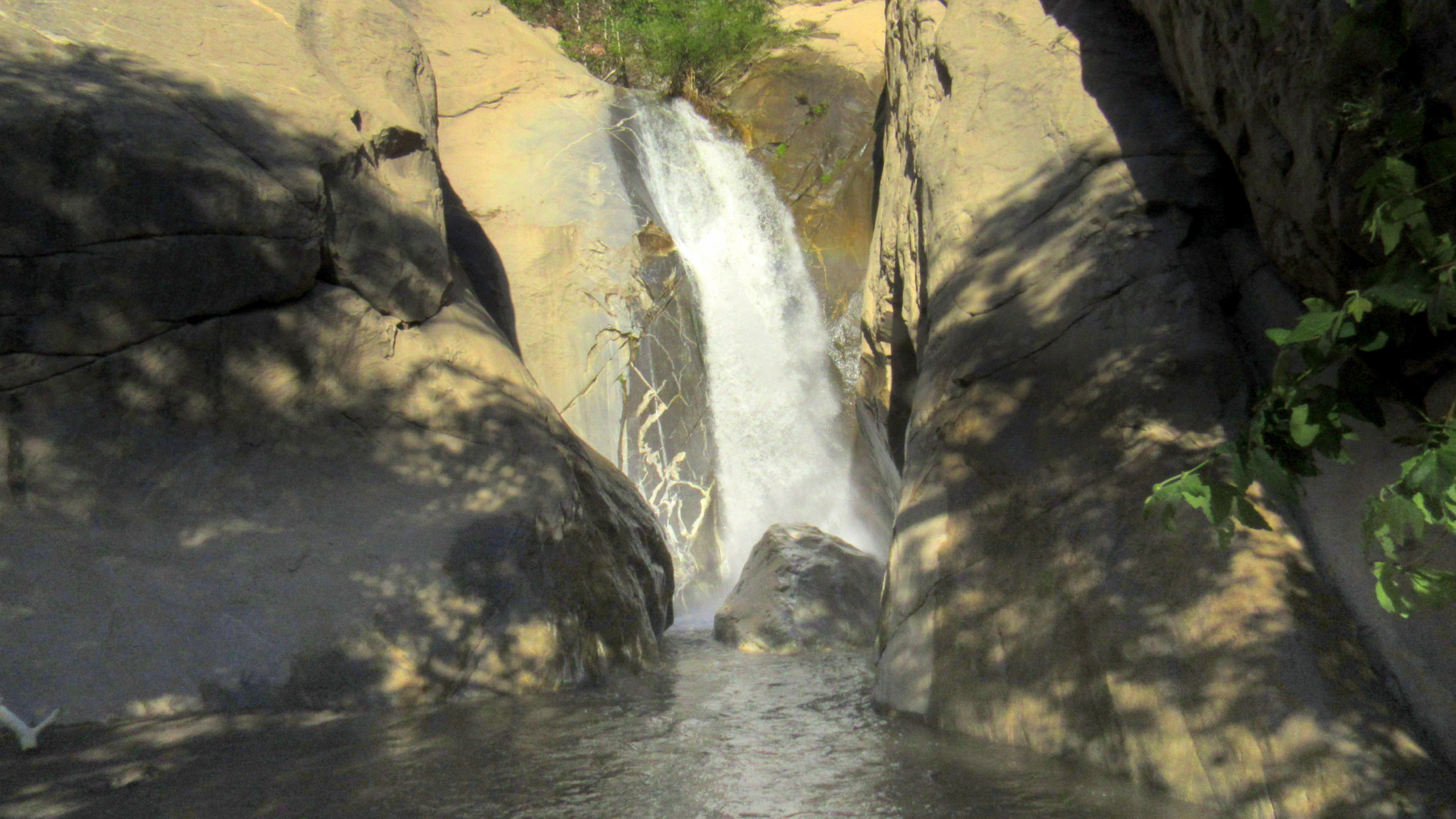
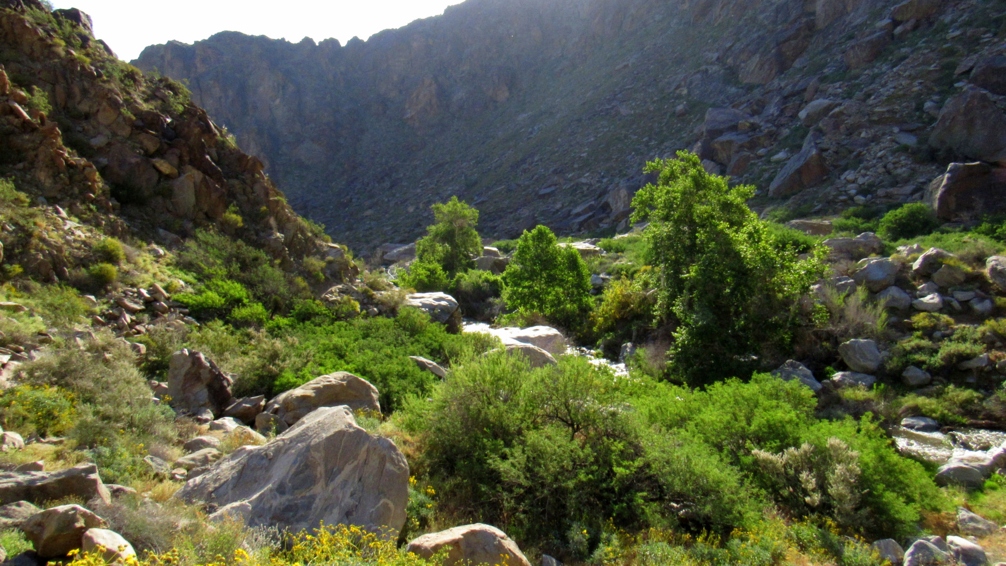
First order of business: to correct a mispronunciation that has created confusion among hikers for years. Many people think the word “Tahquitz” is pronounced like “TAH-quitz” or “TAH-keetz.” Neither of those are correct, however. After checking in with the desk clerk at the Agua Caliente Tahquitz Visitor Center, I learned that it is pronounced “TAH-kwish.” In the Cahuilla language, “tz” is pronounced as “sh.” Confusion resolved. Cahuilla culture bears a heavy imprint on this hike, which travels through lands that have always been and remain to this day Cahuilla Land. As part of the territory of the Agua Caliente Band of Cahuilla, Tahquitz Canyon and the neighboring canyons within Indian Canyon to the south stand apart from the sprawling desert resorts of Palm Springs. The Agua Caliente allows light recreation on its land for a fairly substantial fee ($12.50 at the time of writing – September 2017). Out of respect for the Agua Caliente, pay the fee and abide by their rules. Not only is the hike well worth it, but there’s a good chance a ranger will escort you off the trail if you’re caught without proof you paid. Speaking of rangers, it may behoove you to consider taking a ranger-led interpretive hikes. Rangers lead group out from the visitor center at 8am, 10am, noon, and 2pm. If you want to hoof it on your own, or you simply miss the time frames, be sure to pick up a map from the visitor center that also serves as an interpretive guide. It will alert you to many of the highlights you will encounter along the way. Note that I only touch on a few of the various highlights, so the brochure will certainly augment the information I convey in this article. The route follows a figure-8 loop. You can choose to go either way, but I recommend taking the right fork to begin. Set out heading southwest from the visitor center on a moderate incline. After crossing Tahquitz Creek on an easy rock hope, you reach a junction with the first of the two loops. Just inside this loop lies the site of one of the oldest village sit
Trail Stats
2.8 km
106 m
266 m
178 m
—
Photos

Trail photo
No caption provided.
Trail photo
No caption provided.
Trail photo
No caption provided.
Trail photo
No caption provided.

Trail photo
No caption provided.
Trail photo
No caption provided.

Trail photo
No caption provided.

Trail photo
No caption provided.

Trail photo
No caption provided.