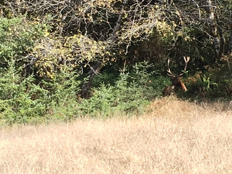
Apple Maps Google Maps family-friendly Views Wildlife Doubletrack West Prairie Trail hike hikingproject.com 0.7 km 7 m gain
Apple Maps Google Maps loop moderate Miners Ridge-James Irvine Loop Hike hike www.oregonhikers.org 18.7 km 421 m gain
Apple Maps Google Maps family-friendly Wildlife Singletrack Cathedral Trees Trail hike hikingproject.com 2.4 km 82 m gain
Apple Maps Google Maps family-friendly Doubletrack Redwood Access Trail hike hikingproject.com 0.9 km 1 m gain
Apple Maps Google Maps family-friendly River/Creek Views Singletrack Prairie Creek Trail hike hikingproject.com 6.9 km 119 m gain
Apple Maps Google Maps family-friendly Birding Views Singletrack Foothill Trail hike hikingproject.com 3.5 km 142 m gain
Apple Maps Google Maps family-friendly Wildlife Singletrack Elk Prairie Trail hike hikingproject.com 2.6 km 27 m gain
Apple Maps Google Maps River/Creek Views Wildlife Singletrack Miners Ridge Trail hike hikingproject.com 6.1 km 166 m gain
Apple Maps Google Maps family-friendly River/Creek Views Wildflowers Singletrack Rhododendron Trail hike hikingproject.com 12.0 km 537 m gain
Apple Maps Google Maps family-friendly Birding River/Creek Wildlife Singletrack Davison Trail hike hikingproject.com 7.4 km 54 m gain
Apple Maps Google Maps loop easy Cathedral Trees Loop Hike hike www.oregonhikers.org 5.3 km 62 m gain
Apple Maps Google Maps family-friendly Views Singletrack Streelow Creek Trail hike hikingproject.com 3.0 km 33 m gain
Apple Maps Google Maps family-friendly River/Creek Singletrack Brown Creek Trail hike hikingproject.com 2.2 km 106 m gain
Apple Maps Google Maps Views Wildflowers Wildlife Singletrack Clintonia Trail hike hikingproject.com 2.5 km 97 m gain