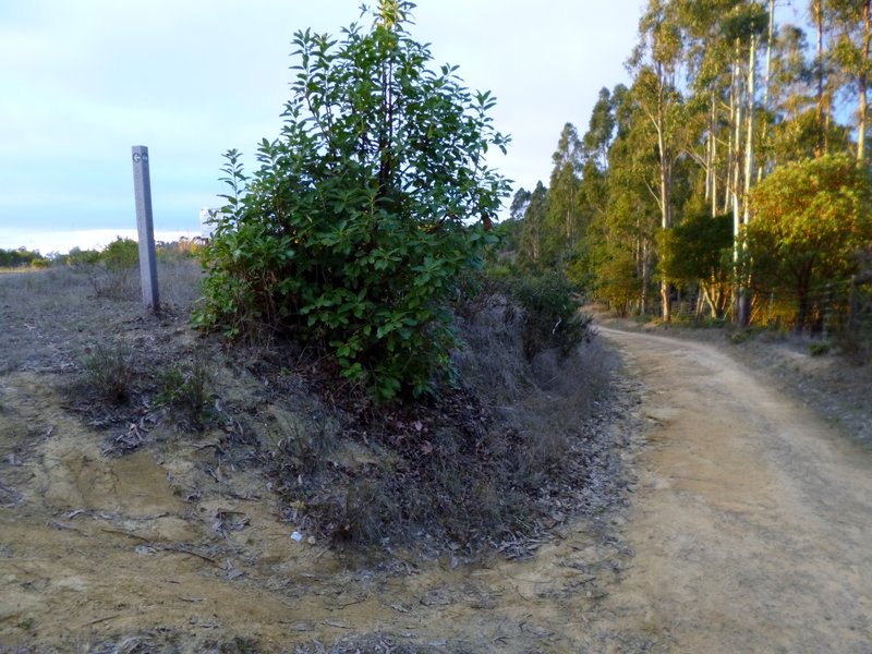
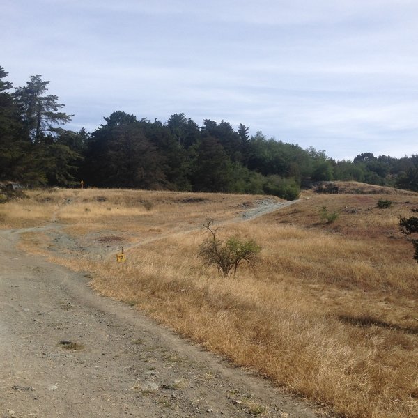
Apple Maps Google Maps Birding Wildlife Doubletrack Ten Hills Trail hike hikingproject.com 2.7 km 25 m gain
Apple Maps Google Maps dog-friendly Birding Singletrack McGregor George Trail hike hikingproject.com 1.3 km
Apple Maps Google Maps dog-friendly Birding Lake River/Creek Singletrack Indian Cove Trail hike hikingproject.com 0.9 km 4 m gain
Apple Maps Google Maps Views Singletrack Oakland Crest Sidewinder (auto-free) bike mtbproject.com 44.7 km 827 m gain
Apple Maps Google Maps Birding Lake River/Creek Views Wildlife Doubletrack Cameron Loop Trail hike hikingproject.com 1.9 km 63 m gain
Apple Maps Google Maps gravel segment Honker Bay Trail to East Shore Trail bike gravelmap.com 3.0 km 96 m gain
Apple Maps Google Maps Birding Wildlife Singletrack Proctor Trail hike hikingproject.com 0.9 km 68 m gain
Apple Maps Google Maps Lake River/Creek Views Wildlife Doubletrack Honker Bay Trail hike hikingproject.com 2.8 km 108 m gain
Apple Maps Google Maps Lake Views Wildlife Doubletrack Live Oak Trail hike hikingproject.com 1.4 km 1 m gain
Apple Maps Google Maps dog-friendly River/Creek Doubletrack Bay Area Ridge Trail: Anthony Chabot Regional Park hike hikingproject.com 10.8 km 185 m gain
Apple Maps Google Maps Birding Views Wildlife Doubletrack Brandon Trail hike hikingproject.com 11.2 km 211 m gain
Apple Maps Google Maps gravel segment Towhee Trail to Honker Bay Trail bike gravelmap.com 3.3 km 271 m gain
Apple Maps Google Maps Lake Wildlife Singletrack Columbine Trail hike hikingproject.com 4.6 km 111 m gain
Apple Maps Google Maps Birding Wildlife Singletrack Towhee Trail hike hikingproject.com 2.9 km 46 m gain