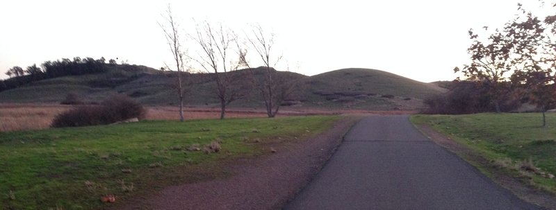
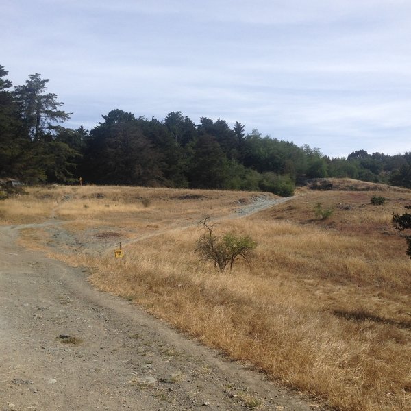
Apple Maps Google Maps Birding Views Wildlife Doubletrack SF Bay Trail: Hayward Shoreline to Eden Landing Ecological Res… hike hikingproject.com 5.8 km 4 m gain
Apple Maps Google Maps Birding Fall Colors Views Wildflowers Wildlife Doubletrack Wetlands Trail hike hikingproject.com 3.2 km
Apple Maps Google Maps Birding Historical Significance Views Wildlife Doubletrack Seasonal Loop Trail hike hikingproject.com 2.9 km 2 m gain
Apple Maps Google Maps family-friendly Singletrack Coyote Hills bike mtbproject.com 30.2 km 184 m gain
Apple Maps Google Maps River/Creek Waterfall Wildlife Singletrack Hayward Plunge Trail hike hikingproject.com 5.0 km 245 m gain
Apple Maps Google Maps Camping Dog-Friendly Historical Interest Kid-Friendly Multi-Use Trail Potable Water Views / Vista Water Features Quail and Bay View Trail Loop at Coyote Hills hike modernhiker.com 5.2 km 76 m gain
Apple Maps Google Maps dog-friendly Doubletrack Soaproot Trail hike hikingproject.com 1.0 km 22 m gain
Apple Maps Google Maps Views Singletrack Oakland Crest Sidewinder (auto-free) bike mtbproject.com 44.7 km 827 m gain
Apple Maps Google Maps dog-friendly Doubletrack High Ridge Loop Trail bike mtbproject.com 9.1 km 348 m gain